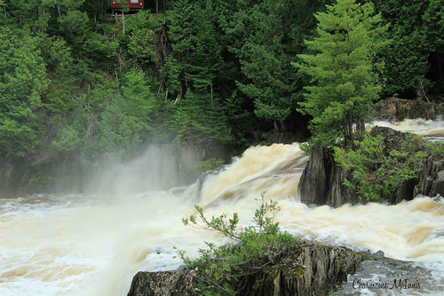
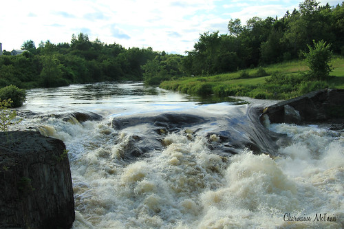
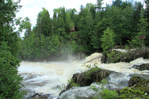
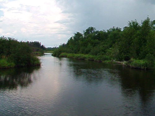
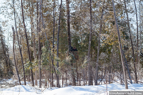
Elevation of Currier Rd, Littleton, ME, USA
Location: United States > Maine > Aroostook County > Littleton >
Longitude: -67.823969
Latitude: 46.1925233
Elevation: -10000m / -32808feet
Barometric Pressure: 295KPa
Related Photos:
Topographic Map of Currier Rd, Littleton, ME, USA
Find elevation by address:

Places near Currier Rd, Littleton, ME, USA:
Houlton Town
Houlton
Houlton
20 Old Calais Rd
Hodgdon
Hartford
Wakefield
Woodstock
New Brunswick 550
124 Poole St
121 Poole St
115 Slipp St
115 Slipp St
121 St John St
1141 Nb-103
Woodstock
Woodstock
Woodstock
Woodstock
Recent Searches:
- Elevation of Corso Fratelli Cairoli, 35, Macerata MC, Italy
- Elevation of Tallevast Rd, Sarasota, FL, USA
- Elevation of 4th St E, Sonoma, CA, USA
- Elevation of Black Hollow Rd, Pennsdale, PA, USA
- Elevation of Oakland Ave, Williamsport, PA, USA
- Elevation of Pedrógão Grande, Portugal
- Elevation of Klee Dr, Martinsburg, WV, USA
- Elevation of Via Roma, Pieranica CR, Italy
- Elevation of Tavkvetili Mountain, Georgia
- Elevation of Hartfords Bluff Cir, Mt Pleasant, SC, USA


