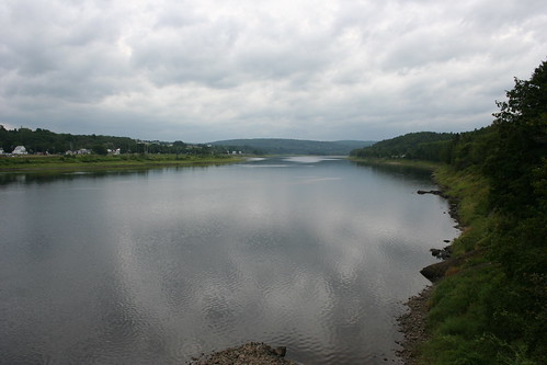
Elevation of Wakefield, NB, Canada

Location: Canada > New Brunswick > Carleton County >

Longitude: -67.644164

Latitude: 46.2283898

Elevation: 153m / 502feet

Barometric Pressure: 99KPa

Elevation Map:

elevation map of Wakefield, NB, Canada

Satellite Map:

Satellite map of Wakefield, NB, Canada

Related Photos:

legacy shining sincity tistheseason eot vividimagination trolled dreamplaces stealingshadows awardtree theawardtree thebestgallery daarklands exoticimage digitalartscene imageexcellence netartvitualii digitalartscenepro covertpaintersphotoshop
To pray or not to pray
bridge summer canada canon eos nb newbrunswick 7d dslr hdr 2011 1635mm nbphoto cans2s bmca leishi
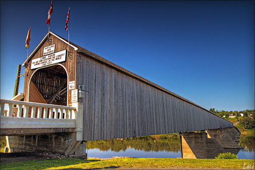
"world longest covered bridge"
canada roadtrip newbrunswick northamerica eastcanada mapleland
View from inside the bridge
canada newbrunswick 2009 newburg
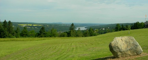
2009 July 31 - A view of the St.John River in Newburg, New Brunswick, Canada
flowers summer macro green canon leaf pond nb 100mm 7d usm dslr woodstock 2011 勿忘草 cans2s bmca
"elegant blue"
bridge historic newbrunswick covered pont longest hartland couvert nationalhistoricsite
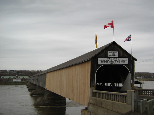
Longest covered bridge in the world, Hartland, New Brunswick, Canada
new canada ice water river spring flooding flood belleville brunswick april jam thaw inundation meduxnekeag
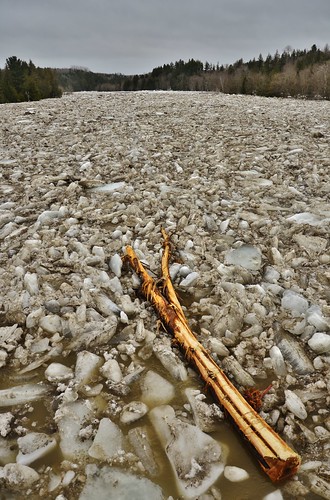
Mighty Meduxnekeag
house canada historic newbrunswick woodstock 1884 greekrevival heritahe
The Gibson House
flowers summer macro green canon leaf pond nb 100mm bee 7d strike usm dslr woodstock canadapost 2011 cans2s bmca
"strike-free worker"
summer macro green canon leaf nb 100mm 7d usm dslr woodstock 2011 cans2s bmca
"freshing"
bridge summer canada canon eos nb newbrunswick 7d dslr hartland 2011 1635mm nbphoto cans2s bmca leishi
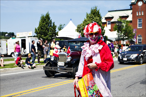
"a clown with mustache"
bridge summer canada canon eos nb newbrunswick 7d dslr hartland 2011 1635mm nbphoto cans2s bmca leishi
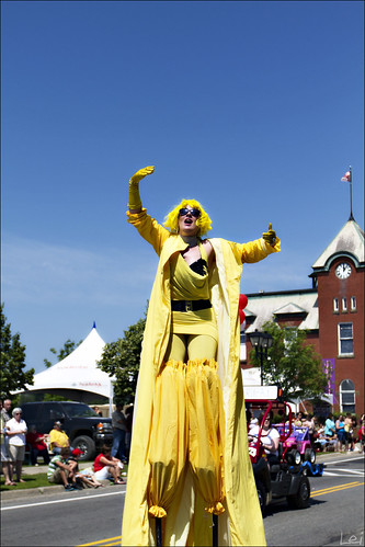
"ahhhhhhhhhhhh"
bridge summer canada canon eos nb newbrunswick 7d dslr hartland 2011 1635mm nbphoto cans2s bmca leishi
"what's happening over there"
Abandoned US Customs Station - Houlton, Maine
Hartland, New Brunswick
square squareformat iphoneography instagramapp xproii uploaded:by=instagram
#doublerainbow spotted on the drive home yesterday.
elements
IMG_2889_edited-1.psd
fog bumble
IMG_2491_edited-1.jpg
road street new trip portrait panorama mer canada st architecture night john island bay town lac brunswick histoire nouveau fundy paysage rue nuit fare hdr ville iles marée
2011 08 21 Road Trip New Brunswick (31)-border
fog bumble
IMG_2523_edited-1.jpg
elements
IMG_2616_edited-1.jpg
road street new trip portrait panorama mer canada st architecture night john island bay town lac brunswick histoire nouveau fundy paysage rue nuit fare hdr ville iles marée
2011 08 21 Road Trip New Brunswick (17)-border
road street new trip portrait panorama mer canada st architecture night john island bay town lac brunswick histoire nouveau fundy paysage rue nuit fare hdr ville iles marée
2011 08 21 Road Trip New Brunswick (30)-border
elements
IMG_2892_edited-1.psd
road street new trip portrait panorama mer canada st architecture night john island bay town lac brunswick histoire nouveau fundy paysage rue nuit fare hdr ville iles marée
2011 08 21 Road Trip New Brunswick (12)-border
road street new trip portrait panorama mer canada st architecture night john island bay town lac brunswick histoire nouveau fundy paysage rue nuit fare hdr ville iles marée
2011 08 21 Road Trip New Brunswick (13)-border
newbrunswick
Abandoned Houses & Barns
elements
IMG_2653_edited-1.psd
woodstocknewbrunswick
Saint John River, Woodstock, New Brunswick, Canada.
newbrunswick waterfalls gibsonfalls
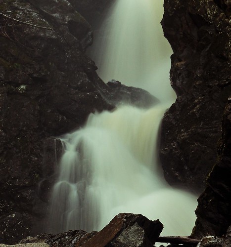
Gibson Creek
fog bumble
IMG_2521_edited-1.jpg
fog bumble
IMG_2519_edited-1.jpg
elements
IMG_2628.JPG
fog bumble
IMG_2527_edited-1.jpg
new bridge canada architecture river brunswick covered hartland
Saint John River