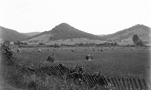
Elevation of Cunningham Road, Cunningham Rd, Liberty Township, OH, USA
Location: United States > Ohio > Ross County > Liberty Township > Londonderry >
Longitude: -82.77986
Latitude: 39.2891797
Elevation: 197m / 646feet
Barometric Pressure: 99KPa
Related Photos:
Topographic Map of Cunningham Road, Cunningham Rd, Liberty Township, OH, USA
Find elevation by address:

Places near Cunningham Road, Cunningham Rd, Liberty Township, OH, USA:
930 Poes Run Rd
Londonderry
Liberty Township
2505 W Junction Rd
Jefferson Township
Old US Rte 35, Chillicothe, OH, USA
Ray
640 Watson Rd
640 Watson Rd
484 Whiskey Run Rd
Jackson Township
36 Savageville School Rd, Ray, OH, USA
2920 Seney Rd
Limerick Rd, Jackson, OH, USA
Franklin Township
738 Watson Rd
164 Hay Hollow Rd
Raysville Rd, Wellston, OH, USA
Back Hollow Rd, Waverly, OH, USA
34116 Township Hwy 23a
Recent Searches:
- Elevation of Corso Fratelli Cairoli, 35, Macerata MC, Italy
- Elevation of Tallevast Rd, Sarasota, FL, USA
- Elevation of 4th St E, Sonoma, CA, USA
- Elevation of Black Hollow Rd, Pennsdale, PA, USA
- Elevation of Oakland Ave, Williamsport, PA, USA
- Elevation of Pedrógão Grande, Portugal
- Elevation of Klee Dr, Martinsburg, WV, USA
- Elevation of Via Roma, Pieranica CR, Italy
- Elevation of Tavkvetili Mountain, Georgia
- Elevation of Hartfords Bluff Cir, Mt Pleasant, SC, USA


