Elevation of Back Hollow Rd, Waverly, OH, USA
Location: United States > Ohio > Ross County > Franklin Township >
Longitude: -82.924580
Latitude: 39.1795009
Elevation: 210m / 689feet
Barometric Pressure: 99KPa
Elevation Map:
Satellite Map:
Related Photos:

1953 Lincoln Capri (2)
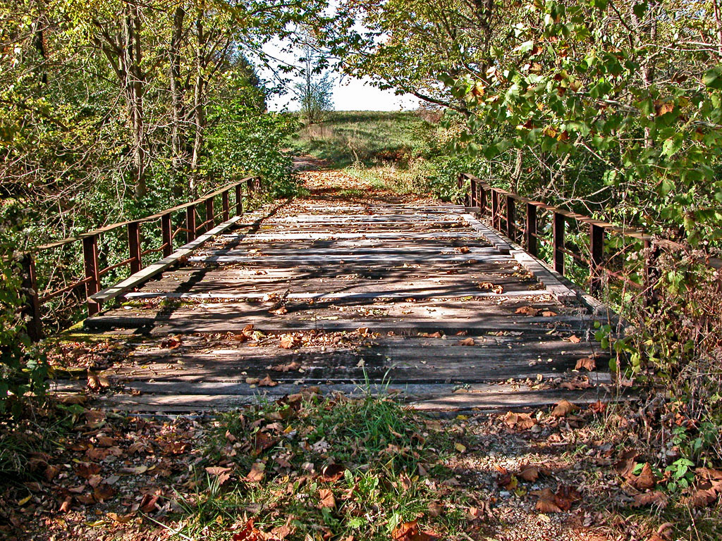
I found another old bridge

Abandoned Gas Station

Souvenirs (B&W)

1953 Lincoln Capri

Abandoned Abode

Scioto Valley Morning
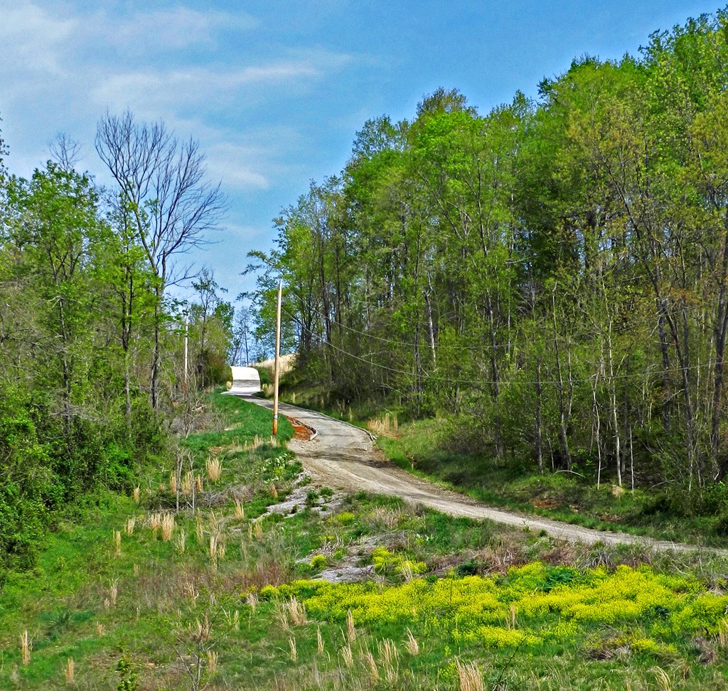
Long Driveway in Appalachia
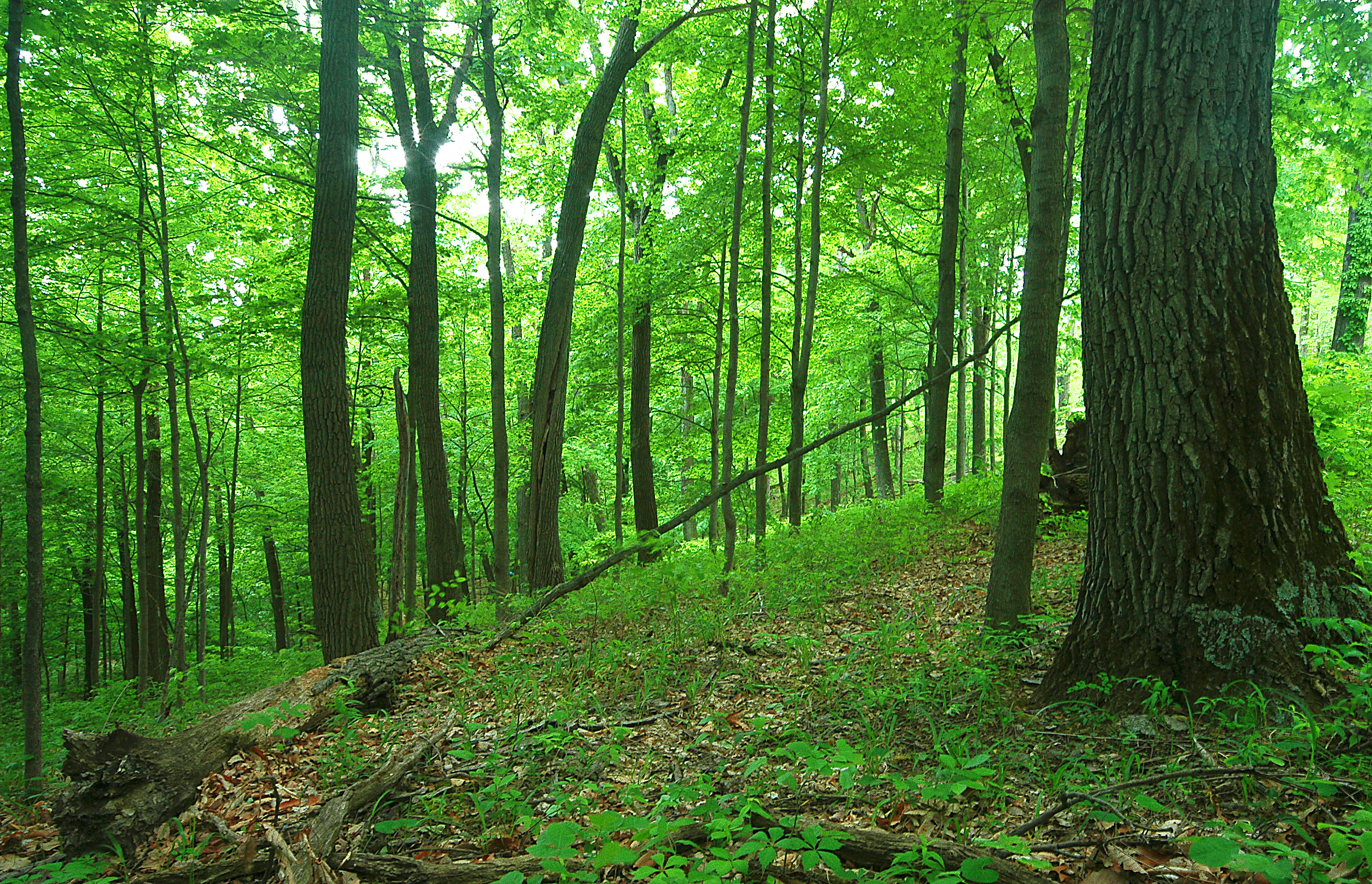
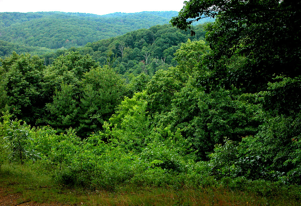
Scioto Trail State Forest
View in Piketon
View of "Pomeroy's Coal Beds," at Carr's Run, Ohio
Green/Green
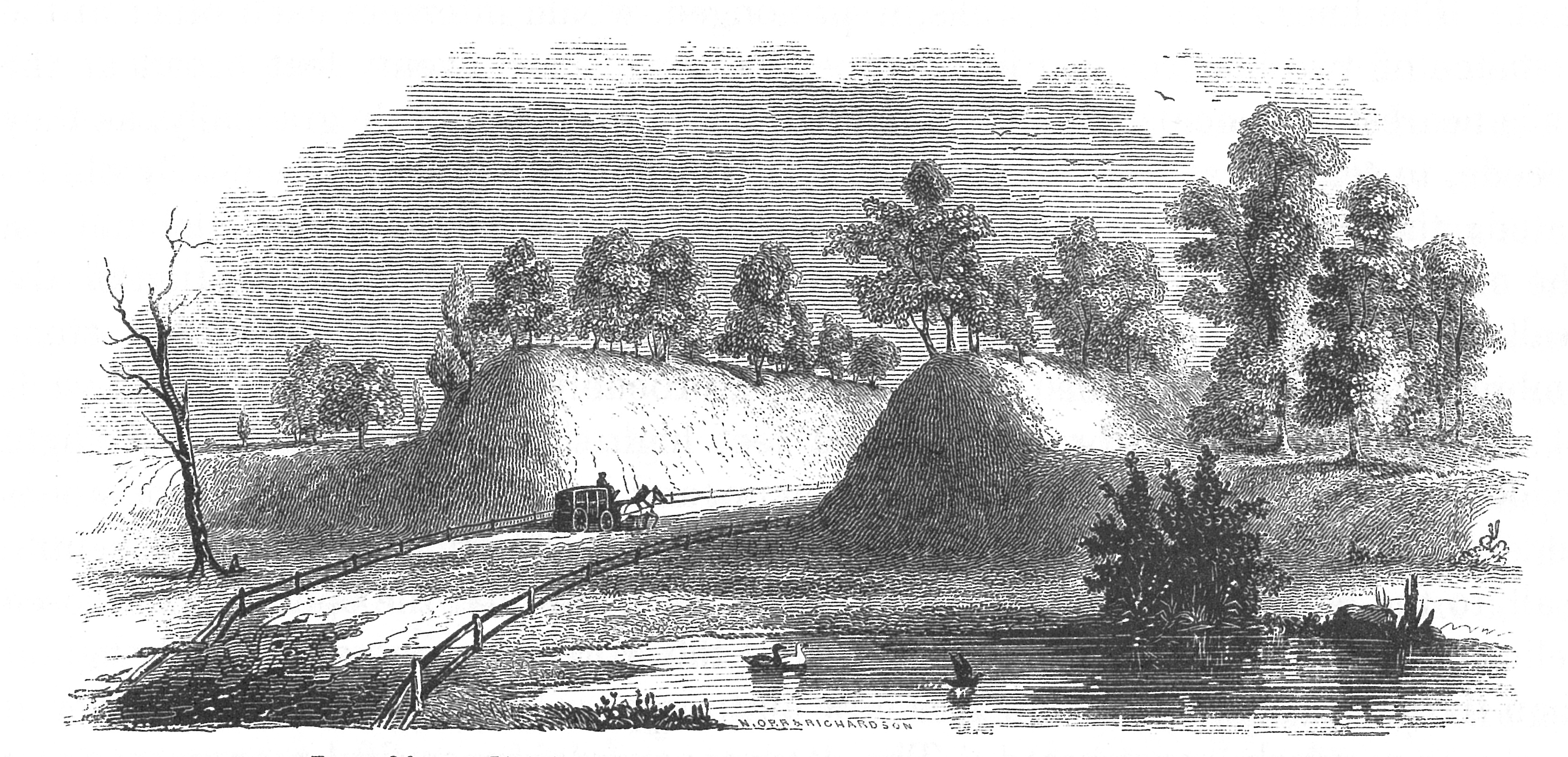
View of Graded Way Near Piketon, Ohio
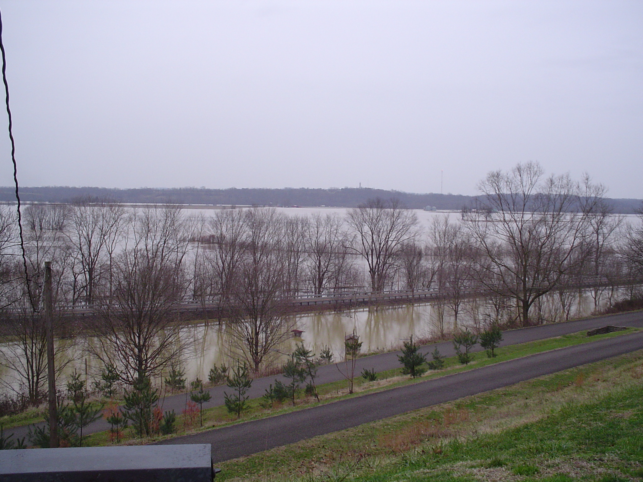
more flood
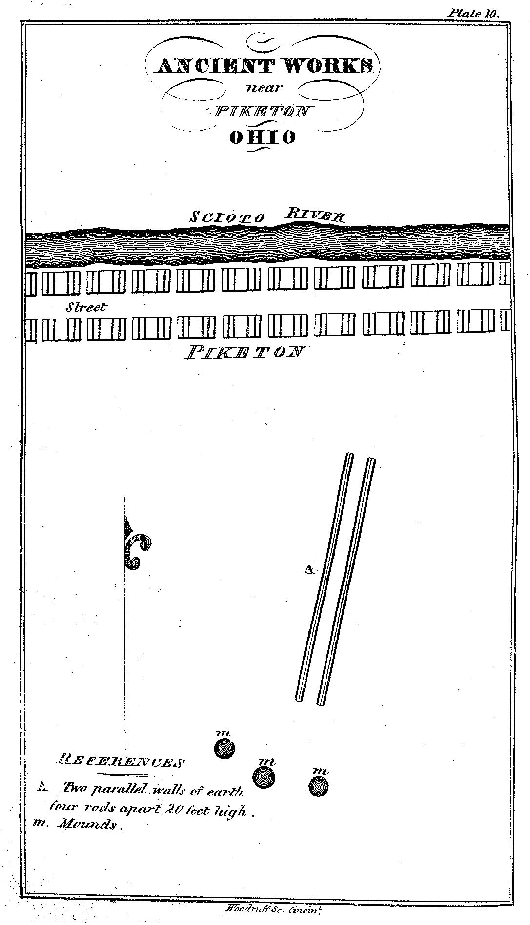
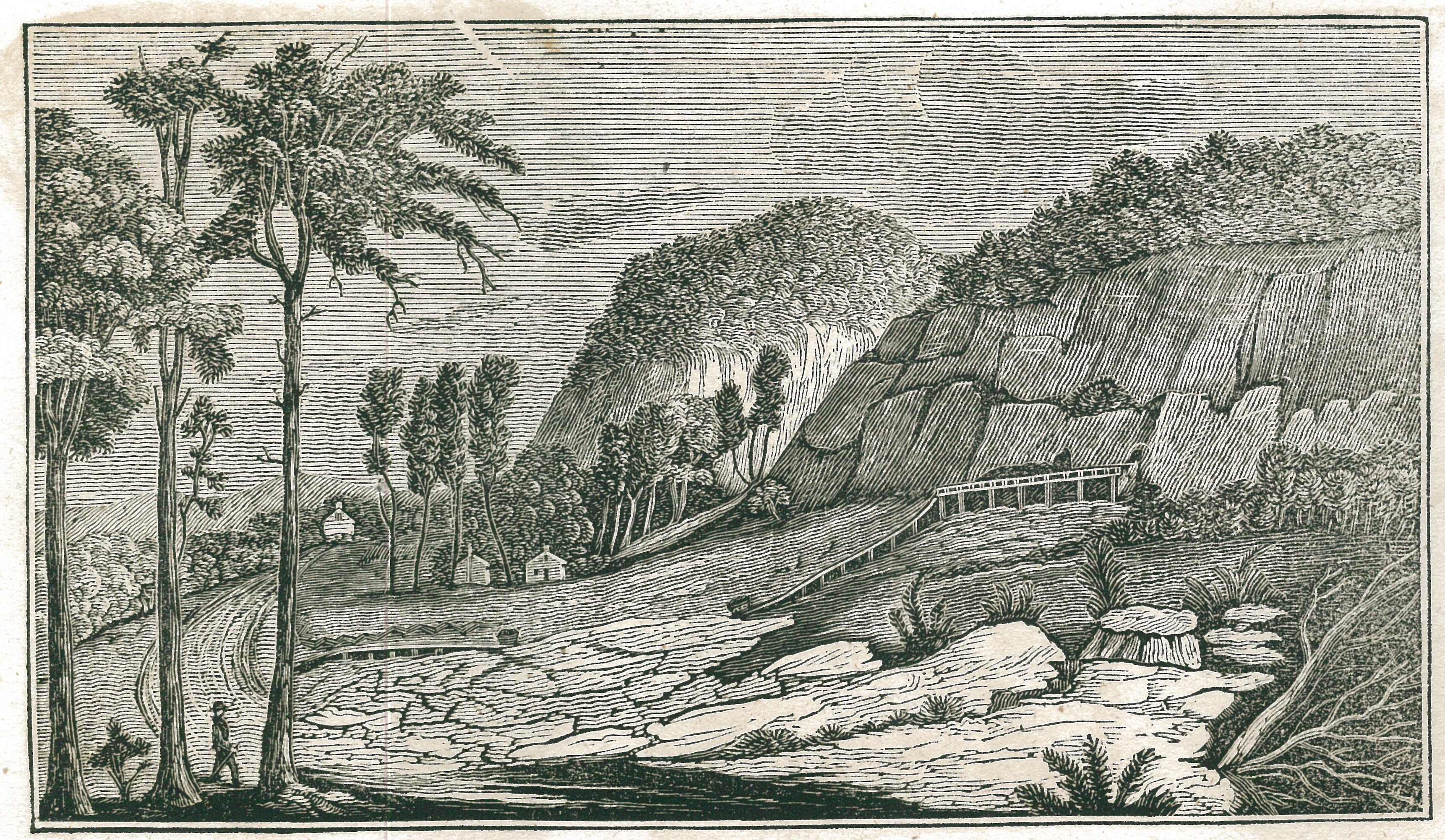
Ancient Works near Piketon, Ohio
the view
The View West
The View South

The View North
The View East
View From The Bottom
Wabash Heritage in Chillicothe, Ohio

Nikon D90 Test 3

2011-02-13a

Yellow-sided Skimmer dragonfly
Scioto Trail State Forest
Quiet Day At The Lake
Q634 - MP 34

Forest Glow

Scioto Trail Forest Road

Winter Sky 5~365
Farmland — Jackson Township, Pike County, Ohio

BandCamp-85
10.2007 033

BandCamp-19

Appalachian Morning

Appalachian Morning 2

Farmland — Franklin Township, Ross County, Ohio
Stewart Lake
Topographic Map of Back Hollow Rd, Waverly, OH, USA
Find elevation by address:

Places near Back Hollow Rd, Waverly, OH, USA:
1145 Alma Omega Rd
Valerie Dr, Waverly, OH, USA
Jackson Township
738 Watson Rd
164 Hay Hollow Rd
640 Watson Rd
640 Watson Rd
OH-, Waverly, OH, USA
484 Whiskey Run Rd
Pine Lake
1751 Schuster Rd
Mccorkle Road & Schuster Road
Beaver
Limerick Rd, Jackson, OH, USA
36 Savageville School Rd, Ray, OH, USA
Jackson Township
Raysville Rd, Wellston, OH, USA
Sour Run Road
818 Mayhew Rd
E Main St, Jackson, OH, USA
Recent Searches:
- Elevation of Corso Fratelli Cairoli, 35, Macerata MC, Italy
- Elevation of Tallevast Rd, Sarasota, FL, USA
- Elevation of 4th St E, Sonoma, CA, USA
- Elevation of Black Hollow Rd, Pennsdale, PA, USA
- Elevation of Oakland Ave, Williamsport, PA, USA
- Elevation of Pedrógão Grande, Portugal
- Elevation of Klee Dr, Martinsburg, WV, USA
- Elevation of Via Roma, Pieranica CR, Italy
- Elevation of Tavkvetili Mountain, Georgia
- Elevation of Hartfords Bluff Cir, Mt Pleasant, SC, USA