Elevation of Crawford County, IA, USA
Location: United States > Iowa >
Longitude: -95.310250
Latitude: 42.034686
Elevation: 388m / 1273feet
Barometric Pressure: 97KPa
Elevation Map:
Satellite Map:
Related Photos:
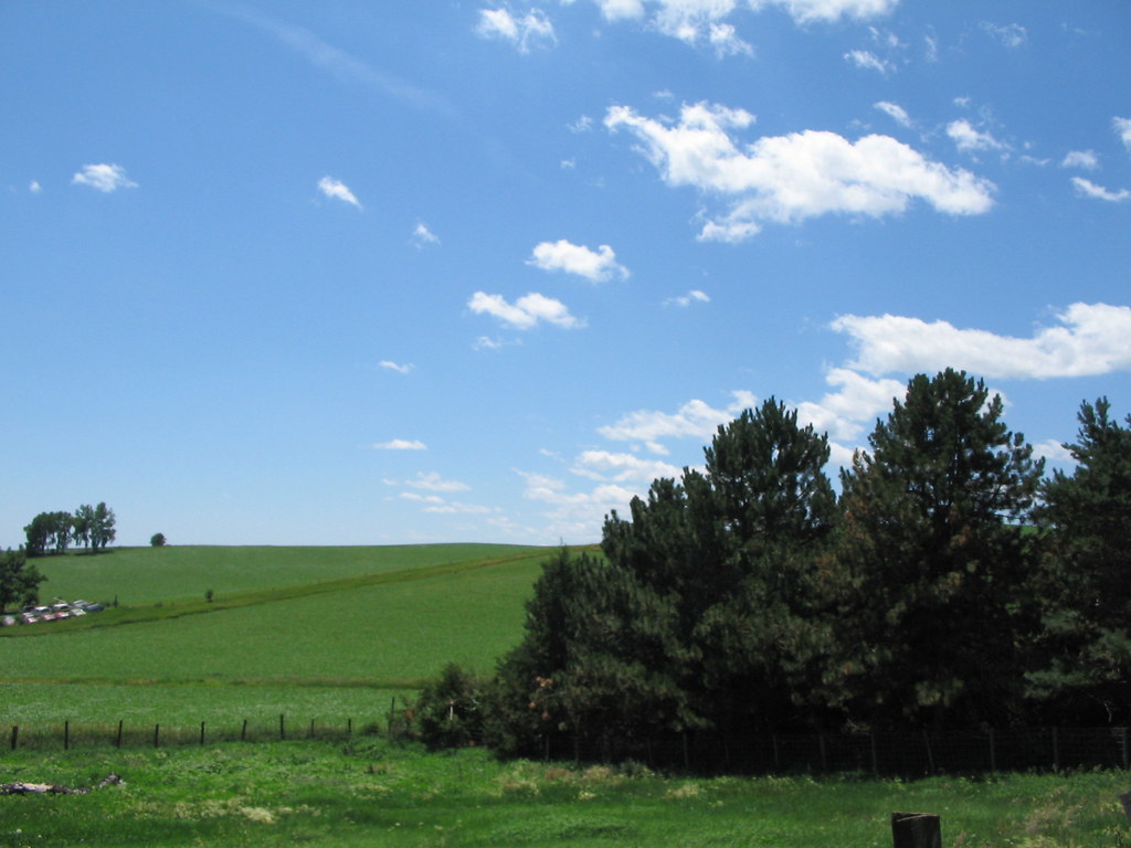
You can't beat the view

Omelette's eyes view.
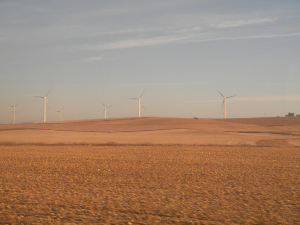
Iowa: Wind Farm
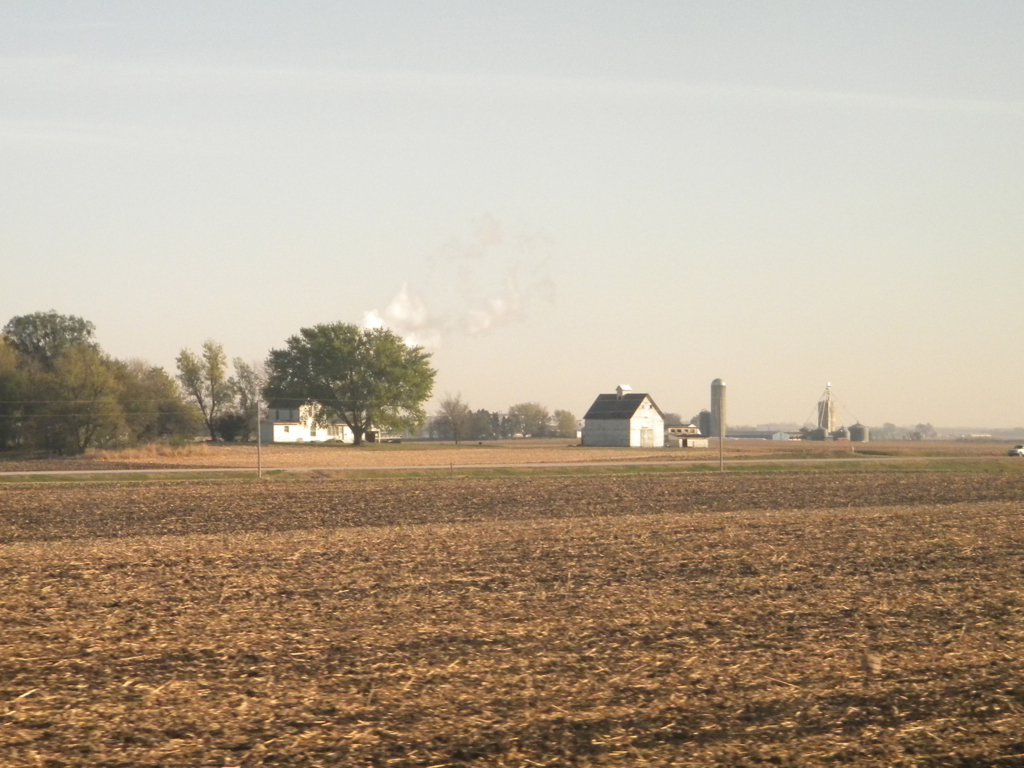
Iowa Farmstead

Denison, IA (112 of 238)

Denison, IA (113 of 238)

Denison, IA (107 of 238)

Denison, IA (106 of 238)

Denison, IA (118 of 238)

Denison, IA (105 of 238)

Denison, IA (109 of 238)

Denison, IA (103 of 238)

Denison, IA (110 of 238)

Denison, IA (96 of 238)

Denison, IA (102 of 238)

Denison, IA (104 of 238)

Denison, IA (100 of 238)

Denison, IA (119 of 238)

Denison, IA (99 of 238)

Denison, IA (115 of 238)

Denison, IA (97 of 238)

Denison, IA (197 of 238)

Denison, IA (198 of 238)

Denison, IA (117 of 238)
Topographic Map of Crawford County, IA, USA
Find elevation by address:

Places in Crawford County, IA, USA:
Places near Crawford County, IA, USA:
1517 1st Ave S
Denison
1202 Broadway
Denison
Chamberlin Dr, Denison, IA, USA
Defiance
Main St, Earling, IA, USA
Union
Manning
3rd St, Manning, IA, USA
Earling
Main St, Earling, IA, USA
210 2nd St
Douglas
Westphalia
State St, Kirkman, IA, USA
Kirkman
Ewoldt
Shelby County
Shelby County
Recent Searches:
- Elevation of Corso Fratelli Cairoli, 35, Macerata MC, Italy
- Elevation of Tallevast Rd, Sarasota, FL, USA
- Elevation of 4th St E, Sonoma, CA, USA
- Elevation of Black Hollow Rd, Pennsdale, PA, USA
- Elevation of Oakland Ave, Williamsport, PA, USA
- Elevation of Pedrógão Grande, Portugal
- Elevation of Klee Dr, Martinsburg, WV, USA
- Elevation of Via Roma, Pieranica CR, Italy
- Elevation of Tavkvetili Mountain, Georgia
- Elevation of Hartfords Bluff Cir, Mt Pleasant, SC, USA