Elevation of Manning, IA, USA
Location: United States > Iowa > Carroll County >
Longitude: -95.065132
Latitude: 41.9091382
Elevation: 415m / 1362feet
Barometric Pressure: 96KPa
Elevation Map:
Satellite Map:
Related Photos:
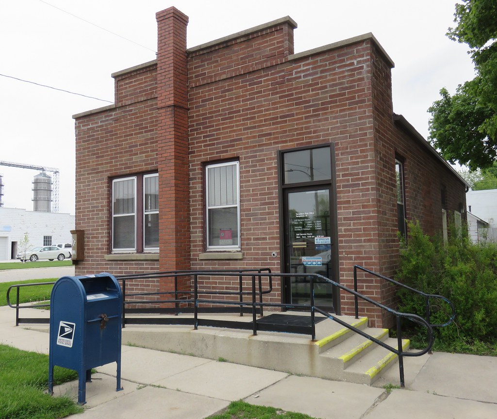
Post Office 51463 (Templeton, Iowa)
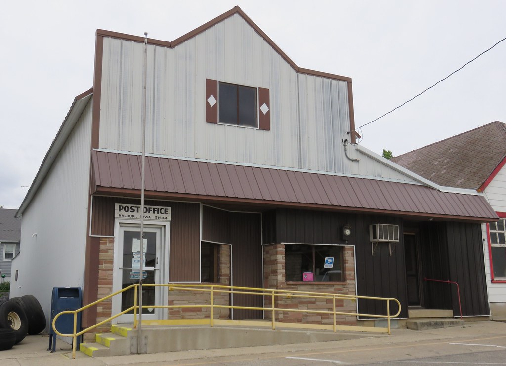
Post Office 51444 (Halbur, Iowa)

Post Office 50110 (Gray, Iowa)
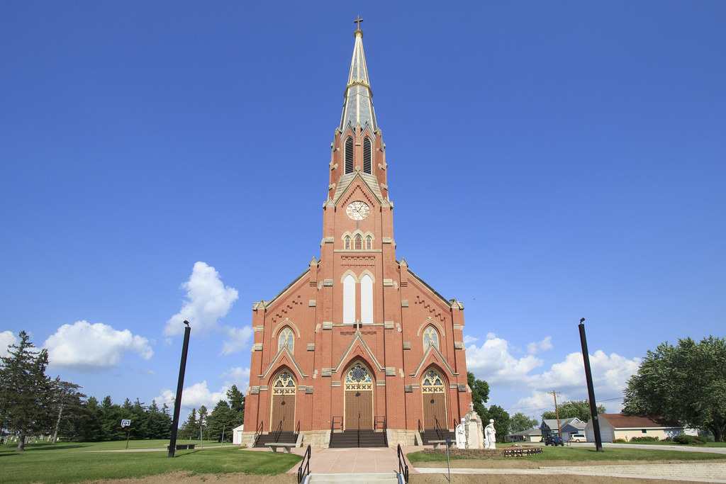
Holy Angels Church

Trinity Lutheran Church

Trinity Lutheran Church
Topographic Map of Manning, IA, USA
Find elevation by address:

Places in Manning, IA, USA:
Places near Manning, IA, USA:
3rd St, Manning, IA, USA
210 2nd St
Ewoldt
30704 Falcon Ave
Templeton
2nd Ave, Templeton, IA, USA
Halbur
3rd St, Carroll, IA, USA
Eden
Roselle
Polk
Audubon County
th St, Kirkman, IA, USA
Maple River
Guthrie St, Carroll, IA, USA
Audubon
16197 Ivy Ave
Ann Marie Riat, Pt
Douglas
Carroll
Recent Searches:
- Elevation of Corso Fratelli Cairoli, 35, Macerata MC, Italy
- Elevation of Tallevast Rd, Sarasota, FL, USA
- Elevation of 4th St E, Sonoma, CA, USA
- Elevation of Black Hollow Rd, Pennsdale, PA, USA
- Elevation of Oakland Ave, Williamsport, PA, USA
- Elevation of Pedrógão Grande, Portugal
- Elevation of Klee Dr, Martinsburg, WV, USA
- Elevation of Via Roma, Pieranica CR, Italy
- Elevation of Tavkvetili Mountain, Georgia
- Elevation of Hartfords Bluff Cir, Mt Pleasant, SC, USA