Elevation of Crag Crest, Colorado, USA
Location: United States > Colorado > Delta County > Cedaredge >
Longitude: -107.94361
Latitude: 39.0605555
Elevation: 3269m / 10725feet
Barometric Pressure: 68KPa
Elevation Map:
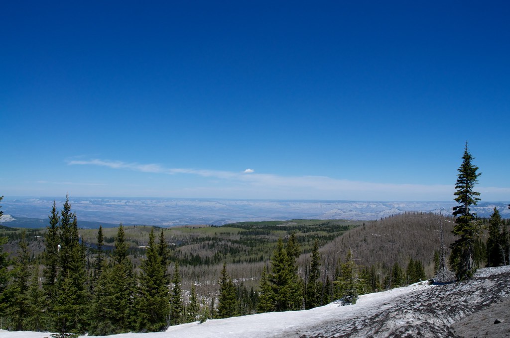
Satellite Map:
Related Photos:

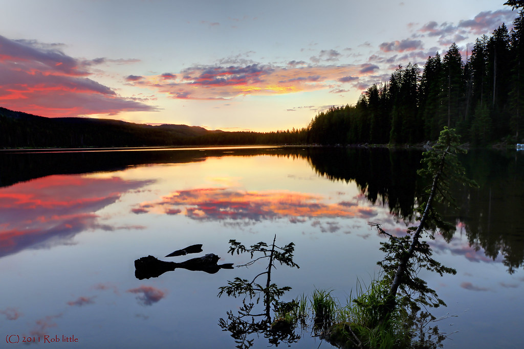
On Top of Crag's Crest
Grand Mesa Sunrise

Another View From the Top
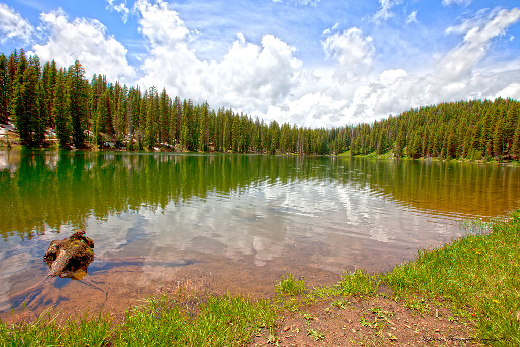
Lake with a View
Atop Grand Mesa
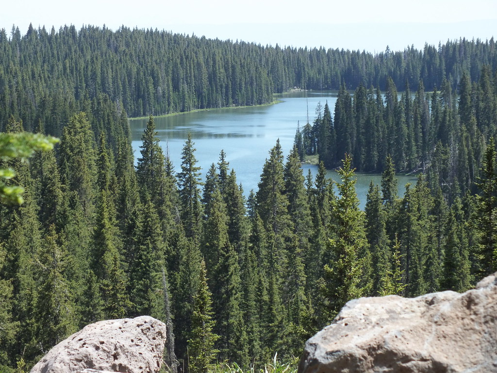
WARD LAKE , GRAND MESA COLORADO

You can see for miles and miles.....
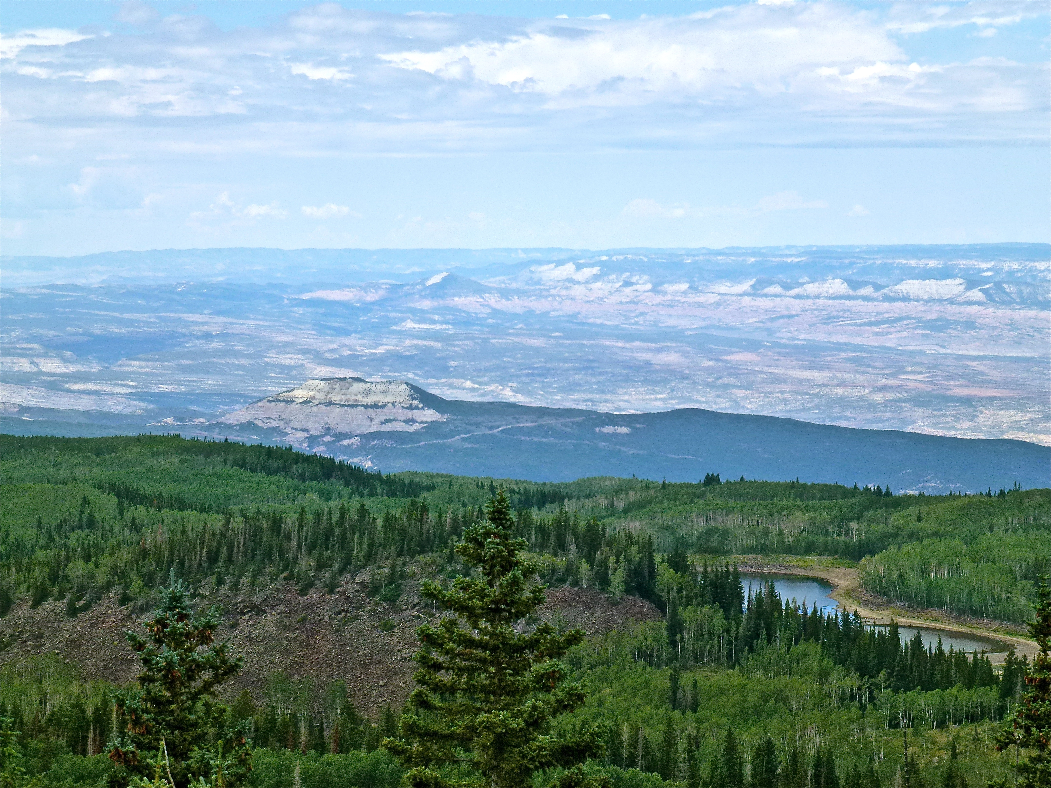
View North towards the Roan Plateau
Topographic Map of Crag Crest, Colorado, USA
Find elevation by address:

Places near Crag Crest, Colorado, USA:
Island Lake Campground
21932 2225 Rd
Nick Mountain
21294 Co-65
21043 Ward Creek Rd
20644 Co-65
21448 High Park Rd
21448 High Park Rd
20101 Squirrel Rock Rd
Cedaredge, CO, USA
21021 Surface Creek Rd
55776 J E 3/10 Rd
20048 2375 Rd
20751 Surface Creek Rd
19814 High Park Rd
J E 3/10 Road
19487 Green Valley Rd
T 50 Road
19484 2375 Rd
9121 54 Rd
Recent Searches:
- Elevation of Corso Fratelli Cairoli, 35, Macerata MC, Italy
- Elevation of Tallevast Rd, Sarasota, FL, USA
- Elevation of 4th St E, Sonoma, CA, USA
- Elevation of Black Hollow Rd, Pennsdale, PA, USA
- Elevation of Oakland Ave, Williamsport, PA, USA
- Elevation of Pedrógão Grande, Portugal
- Elevation of Klee Dr, Martinsburg, WV, USA
- Elevation of Via Roma, Pieranica CR, Italy
- Elevation of Tavkvetili Mountain, Georgia
- Elevation of Hartfords Bluff Cir, Mt Pleasant, SC, USA