Elevation of Coyote Lake, Texas, USA
Location: United States > Texas > Bailey County > Muleshoe >
Longitude: -102.88355
Latitude: 34.1048049
Elevation: 1167m / 3829feet
Barometric Pressure: 88KPa
Elevation Map:
Satellite Map:
Related Photos:

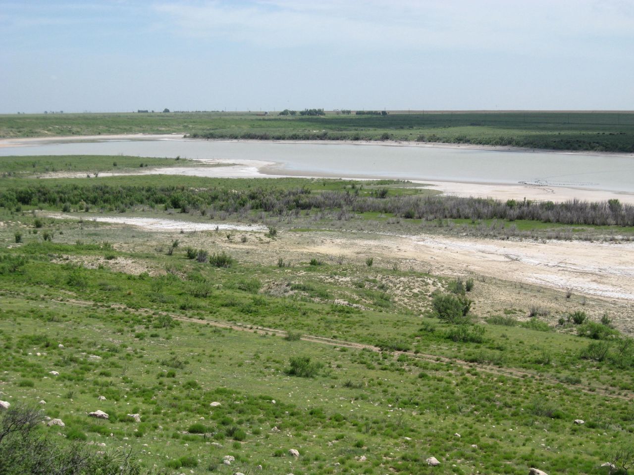
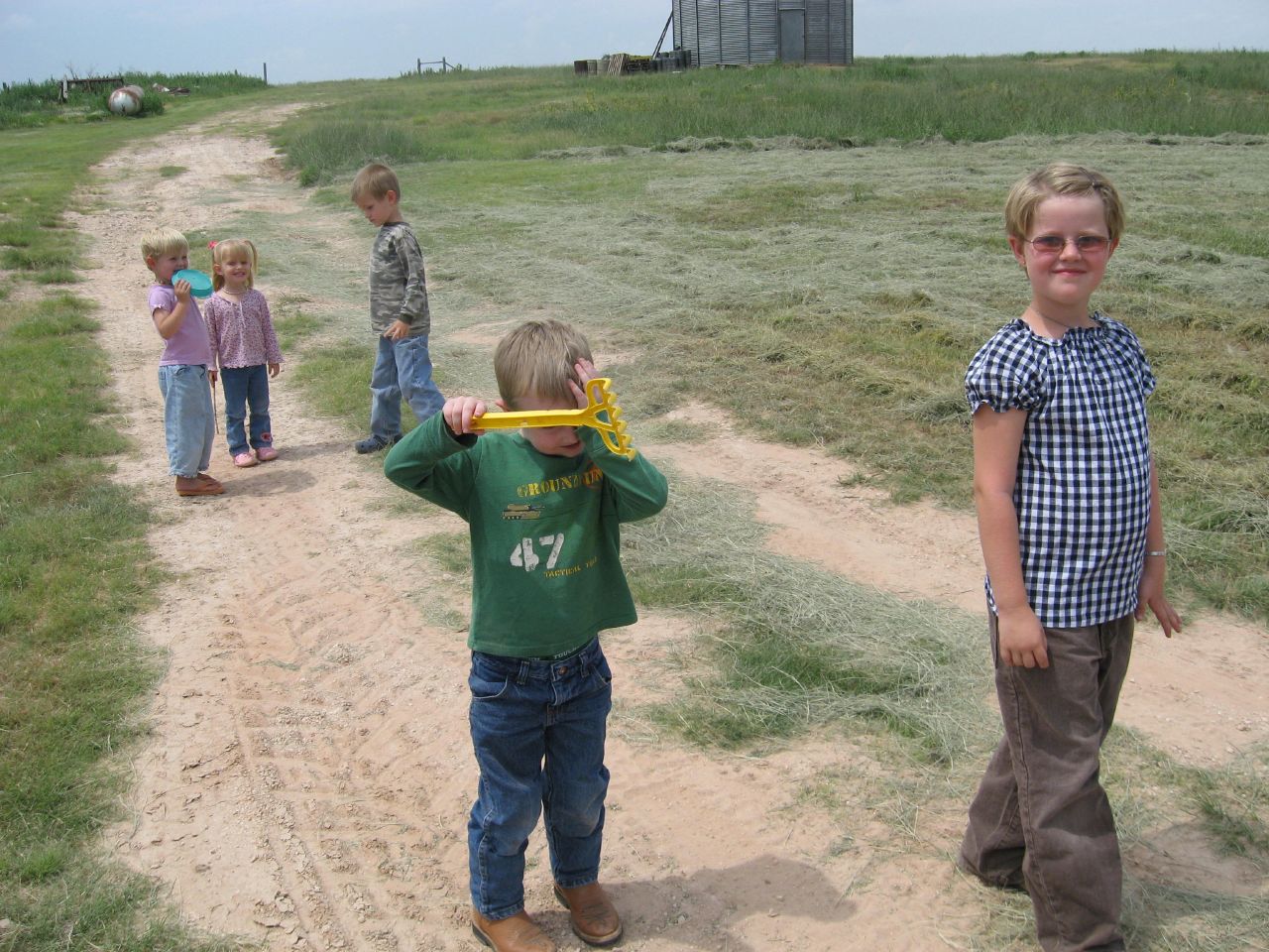
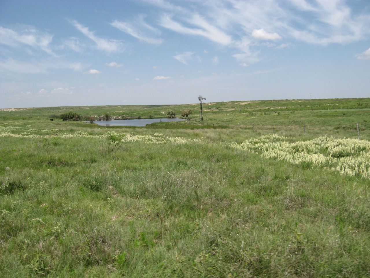
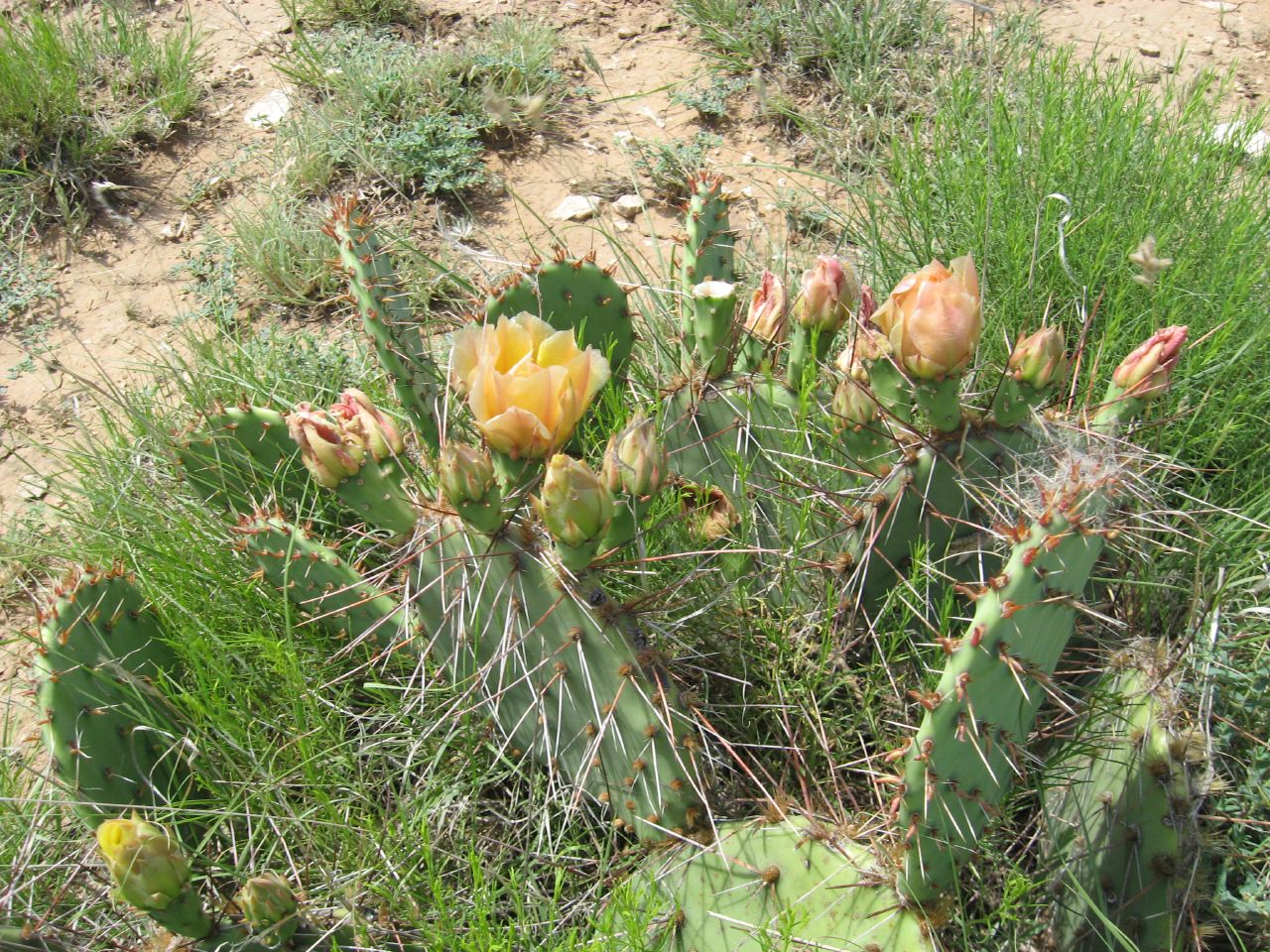
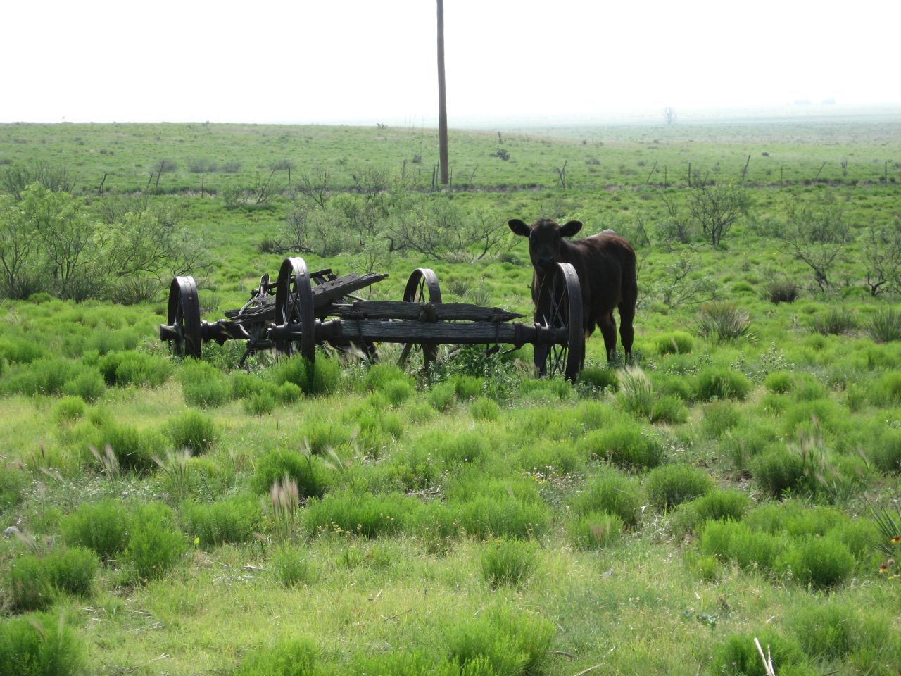
Cotter Ranch
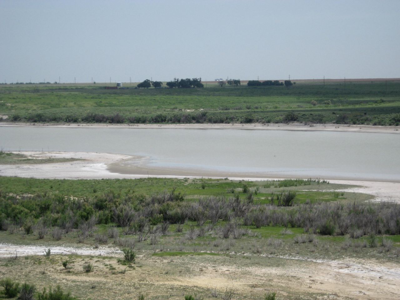
Cotter Ranch
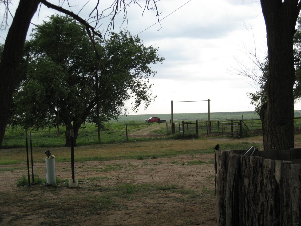
Cotter Ranch
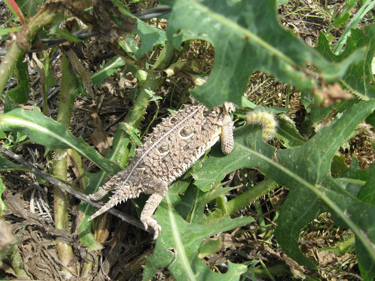
Cotter Ranch

Langston Family Reunion

Cotter Ranch

Cotter Ranch
Cotter Ranch

Cotter Ranch

Cotter Ranch
Cotter Ranch

Langston Family Reunion

Cotter Ranch
Cotter Ranch

Cotter Ranch
Cotter Ranch

Cotter Ranch
Cotter Ranch

Cotter Ranch

Cotter Ranch

Ferruginous Hawk

DSC01074a.jpg

Old Needmore Co-op Cotton Gin (Needmore, Texas)
Topographic Map of Coyote Lake, Texas, USA
Find elevation by address:

Places near Coyote Lake, Texas, USA:
Bailey County
414 W Ave B
Muleshoe
11129 Water Well
Parmer County
1621 Fairmont Ct
Clovis
1220 Oakwood Cir
Curry Rd, Texico, NM, USA
1700 W 7th St
901 Laurelwood Dr
1011 Fairway Terrace
Portales
109 Asher Dr
1901 S Avenue I
Eastern New Mexico University
42121 Us-70
2102 Santa Clara Ct
Portales
Roosevelt County
Recent Searches:
- Elevation of Corso Fratelli Cairoli, 35, Macerata MC, Italy
- Elevation of Tallevast Rd, Sarasota, FL, USA
- Elevation of 4th St E, Sonoma, CA, USA
- Elevation of Black Hollow Rd, Pennsdale, PA, USA
- Elevation of Oakland Ave, Williamsport, PA, USA
- Elevation of Pedrógão Grande, Portugal
- Elevation of Klee Dr, Martinsburg, WV, USA
- Elevation of Via Roma, Pieranica CR, Italy
- Elevation of Tavkvetili Mountain, Georgia
- Elevation of Hartfords Bluff Cir, Mt Pleasant, SC, USA