Elevation map of Roosevelt County, NM, USA
Location: United States > New Mexico >
Longitude: -103.35872
Latitude: 33.9538388
Elevation: 1301m / 4268feet
Barometric Pressure: 87KPa
Elevation Map:
Satellite Map:
Related Photos:

Dora New Mexico Rural Road Landscape IMG_8005

Dora, NM Sunset
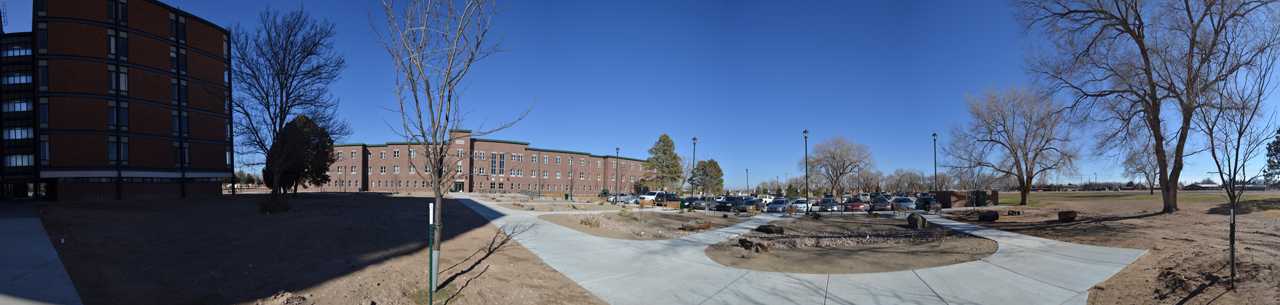
Old and New Dorms

Blue-headed vireo

Northern parula

Coyote Country Dora New Mexico IMG_8004

Chapman Field Dora New Mexico Coyotes IMG_8001
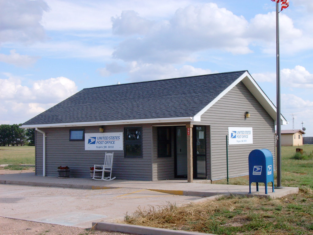
Post Office 88132 (Rogers, New Mexico)

Post Office 88126 (Pep, New Mexico)

Abandoned Shop (Pep, New Mexico)
Topographic Map of Roosevelt County, NM, USA
Find elevation by address:

Places in Roosevelt County, NM, USA:
Places near Roosevelt County, NM, USA:
Portales
11129 Water Well
42121 Us-70
1901 S Avenue I
2102 Santa Clara Ct
Eastern New Mexico University
1220 Oakwood Cir
Portales
Clark St, Elida, NM, USA
NM-, Floyd, NM, USA
US-60, Clovis, NM, USA
Expansion St, Clovis, NM, USA
1700 W 7th St
Clovis
N Main St, Clovis, NM, USA
Bailey County
30 Rope Rd
1621 Fairmont Ct
Coyote Lake
901 Laurelwood Dr
Recent Searches:
- Elevation of Corso Fratelli Cairoli, 35, Macerata MC, Italy
- Elevation of Tallevast Rd, Sarasota, FL, USA
- Elevation of 4th St E, Sonoma, CA, USA
- Elevation of Black Hollow Rd, Pennsdale, PA, USA
- Elevation of Oakland Ave, Williamsport, PA, USA
- Elevation of Pedrógão Grande, Portugal
- Elevation of Klee Dr, Martinsburg, WV, USA
- Elevation of Via Roma, Pieranica CR, Italy
- Elevation of Tavkvetili Mountain, Georgia
- Elevation of Hartfords Bluff Cir, Mt Pleasant, SC, USA