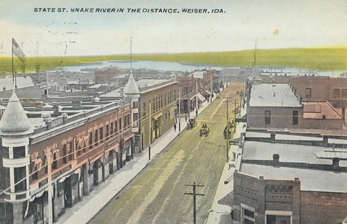
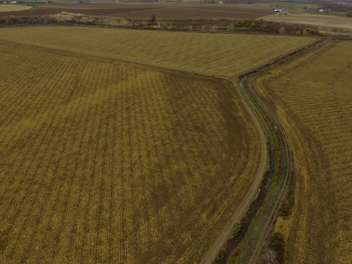
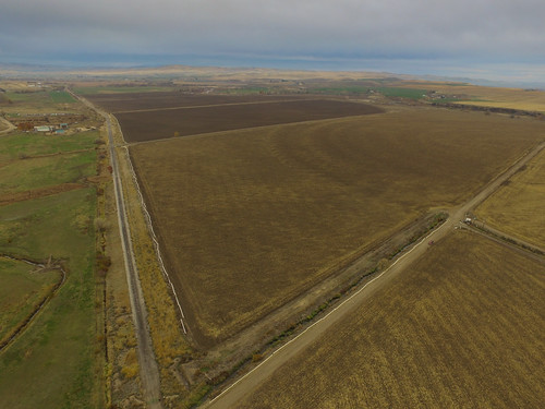
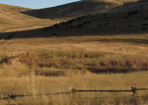
Elevation of Cove Rd, Weiser, ID, USA
Location: United States > Idaho > Washington County > Weiser >
Longitude: -116.78615
Latitude: 44.2203684
Elevation: 679m / 2228feet
Barometric Pressure: 93KPa
Related Photos:
Topographic Map of Cove Rd, Weiser, ID, USA
Find elevation by address:

Places near Cove Rd, Weiser, ID, USA:
880 Mann Creek Rd
Cahill Ln, Weiser, ID, USA
Washington County
1326 Mann Creek Rd
River Rd, Payette, ID, USA
Weiser
Manser Dr, Payette, ID, USA
1595 W 7th St
1120 N 6th St
Payette
Payette County
4655 Hyline Rd
NW 16th St, Fruitland, ID, USA
1273 Spring Creek Ln
Fruitland
602 W 1st St
SW 4th St, Fruitland, ID, USA
Elm St, New Plymouth, ID, USA
New Plymouth
Southwest Avenue
Recent Searches:
- Elevation of Corso Fratelli Cairoli, 35, Macerata MC, Italy
- Elevation of Tallevast Rd, Sarasota, FL, USA
- Elevation of 4th St E, Sonoma, CA, USA
- Elevation of Black Hollow Rd, Pennsdale, PA, USA
- Elevation of Oakland Ave, Williamsport, PA, USA
- Elevation of Pedrógão Grande, Portugal
- Elevation of Klee Dr, Martinsburg, WV, USA
- Elevation of Via Roma, Pieranica CR, Italy
- Elevation of Tavkvetili Mountain, Georgia
- Elevation of Hartfords Bluff Cir, Mt Pleasant, SC, USA


