Elevation of Cousins Rd, Chehalis, WA, USA
Location: United States > Washington > Lewis County > Chehalis >
Longitude: -123.035436
Latitude: 46.605249
Elevation: 148m / 486feet
Barometric Pressure: 0KPa
Related Photos:

a2001-15-04

Aerial view of I-5 in Chehalis

a2003-14-31

Governor Gregoire

The Mummy Lives!

DSCN1621.JPG
DSCN1625.JPG

DSCN1622.JPG

DSCN1624.JPG

Aerial view of I-5 in Chehalis

Snow and rain

The Largest Egg in the World
04252016-31

Warehouse wreckage
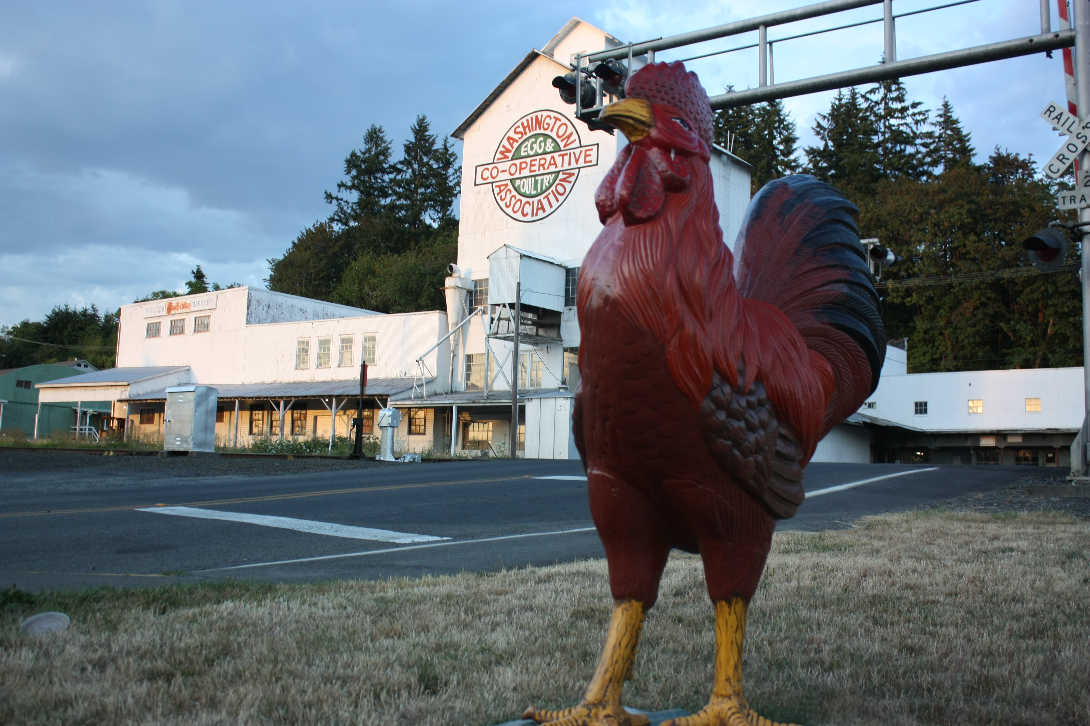
The Rooster Overlord sees all!

Seminary Hill II

Chehalis River

Chehalis River

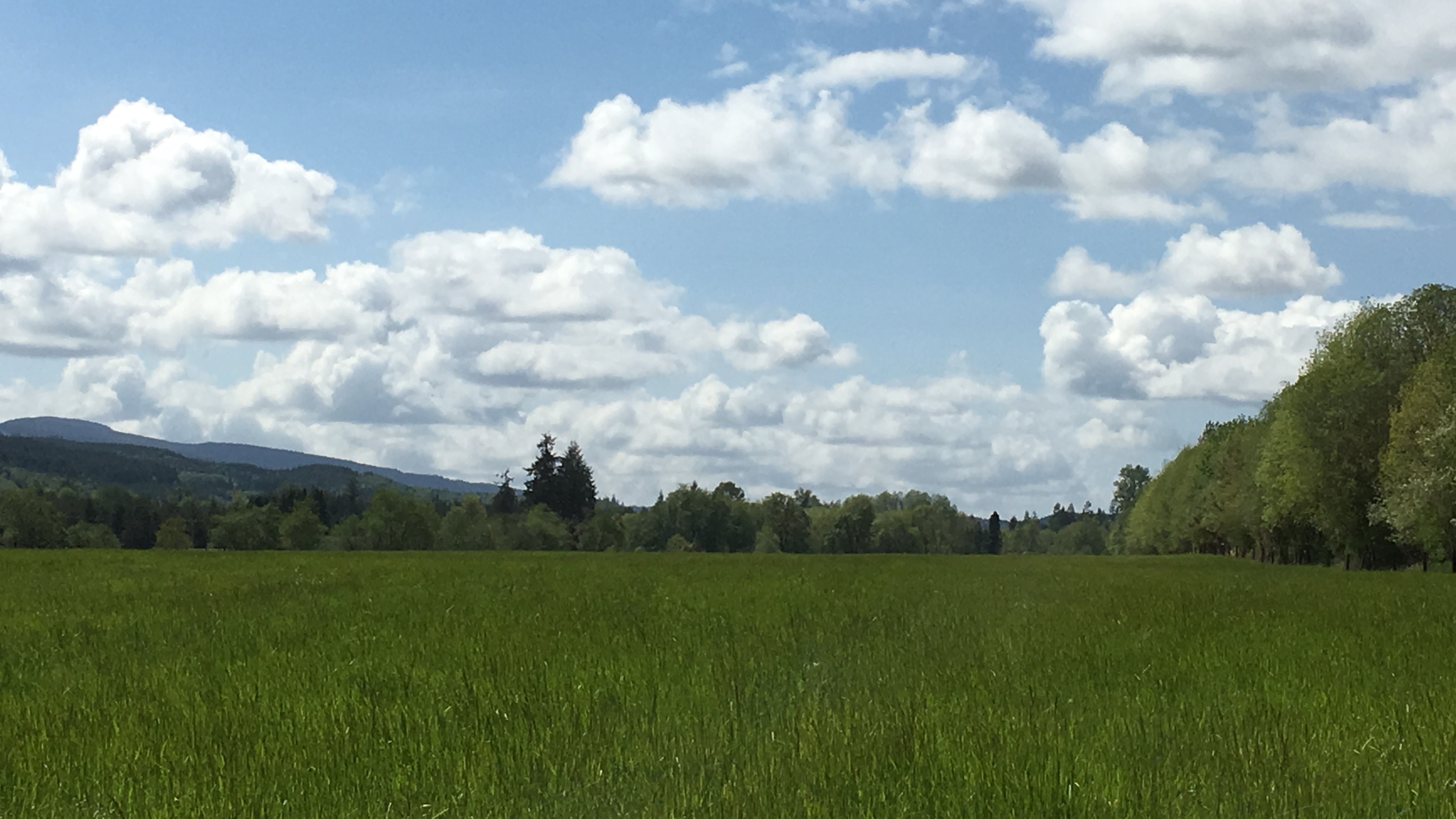
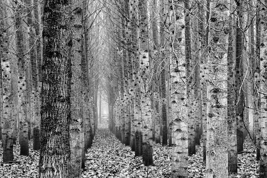
Poplar Tree Plantation
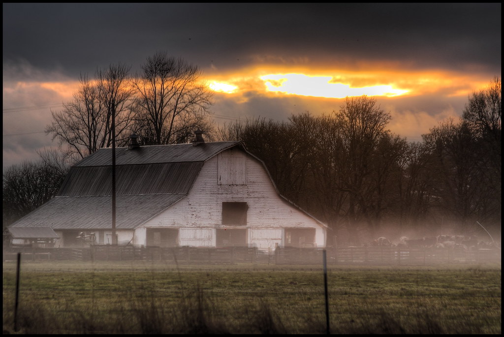
mist and barn
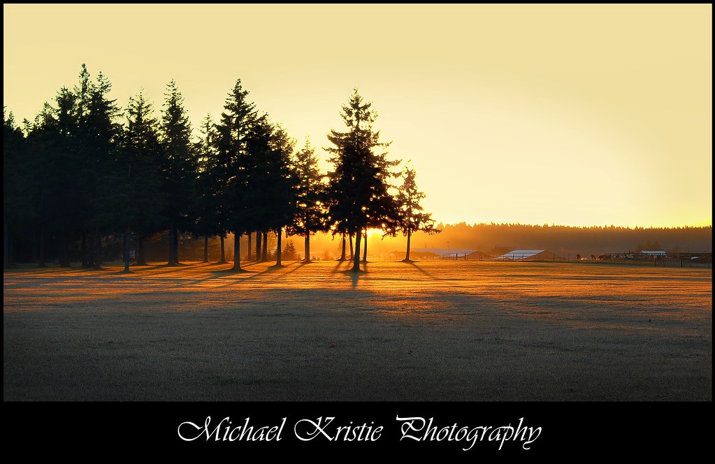
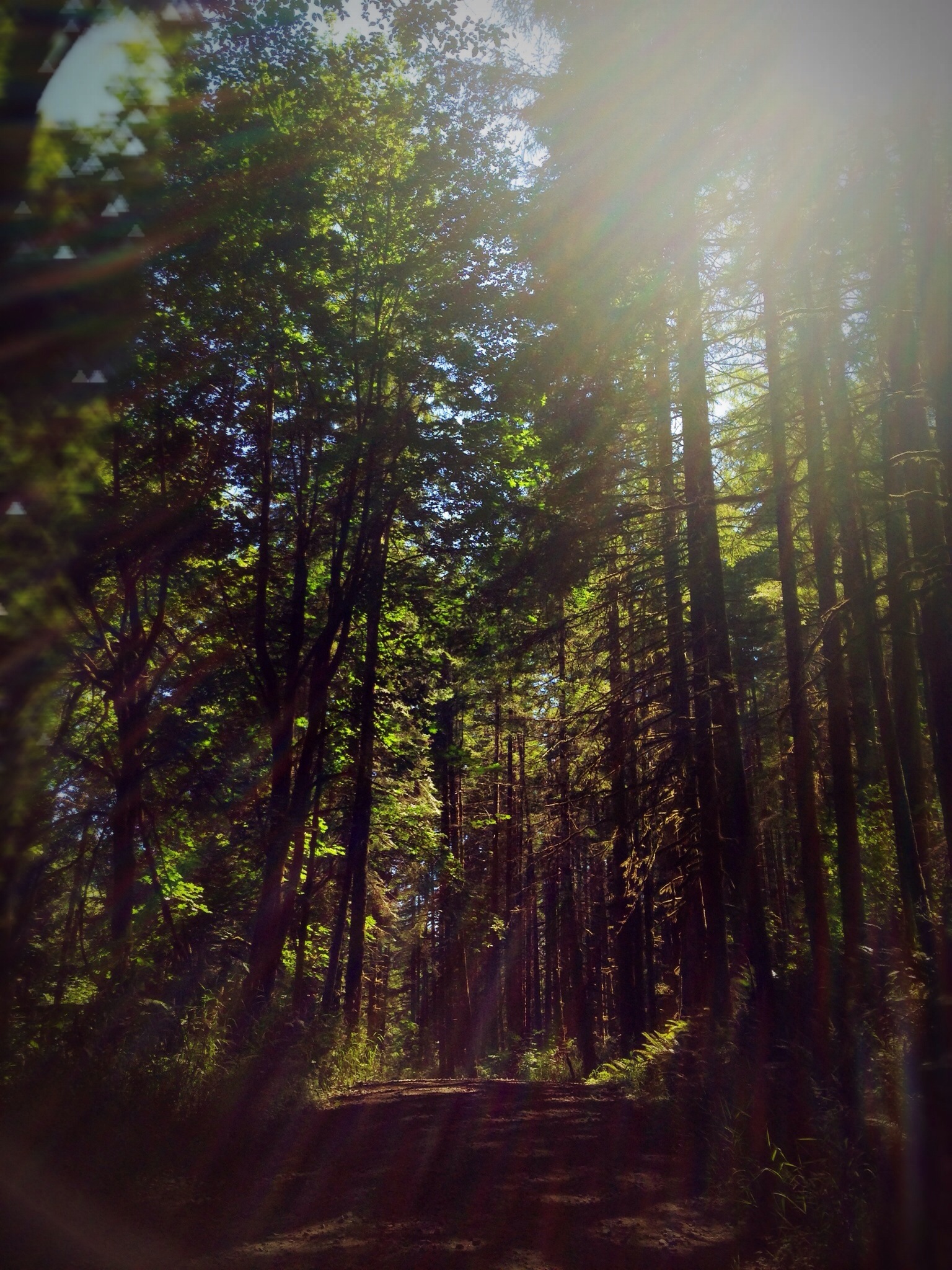
Sunrise Through Trees

Rainbow Falls State Park No. 2, Washington, 2015

Lovely sunset yesterday.
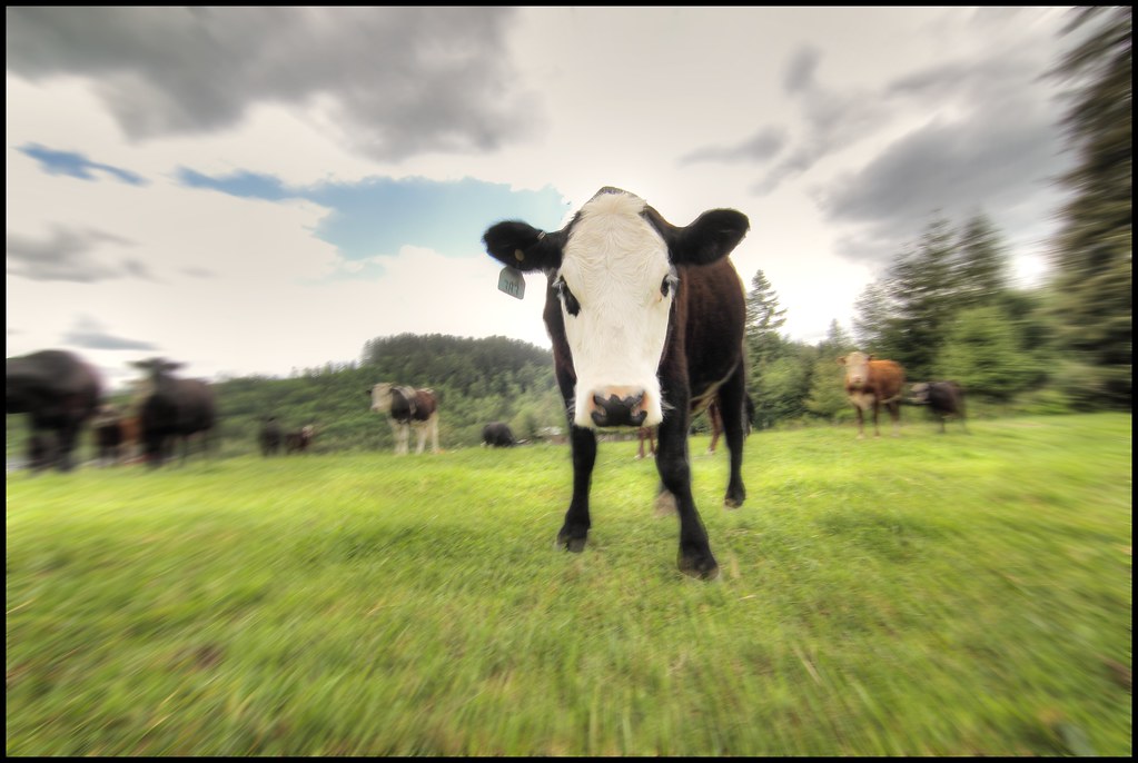
zoom cow

Poplar Tree Plantation, Lewis County, Washington, 2015

a poplar place to be

Rainbow Falls State Park No. 3, Washington, 2015

Rainbow Falls State Park No. 3, Washington, 2015

Rainbow Falls State Park No. 1, Washington, 2015
Poplar Tree Plantation, Lewis County, Washington, 2015
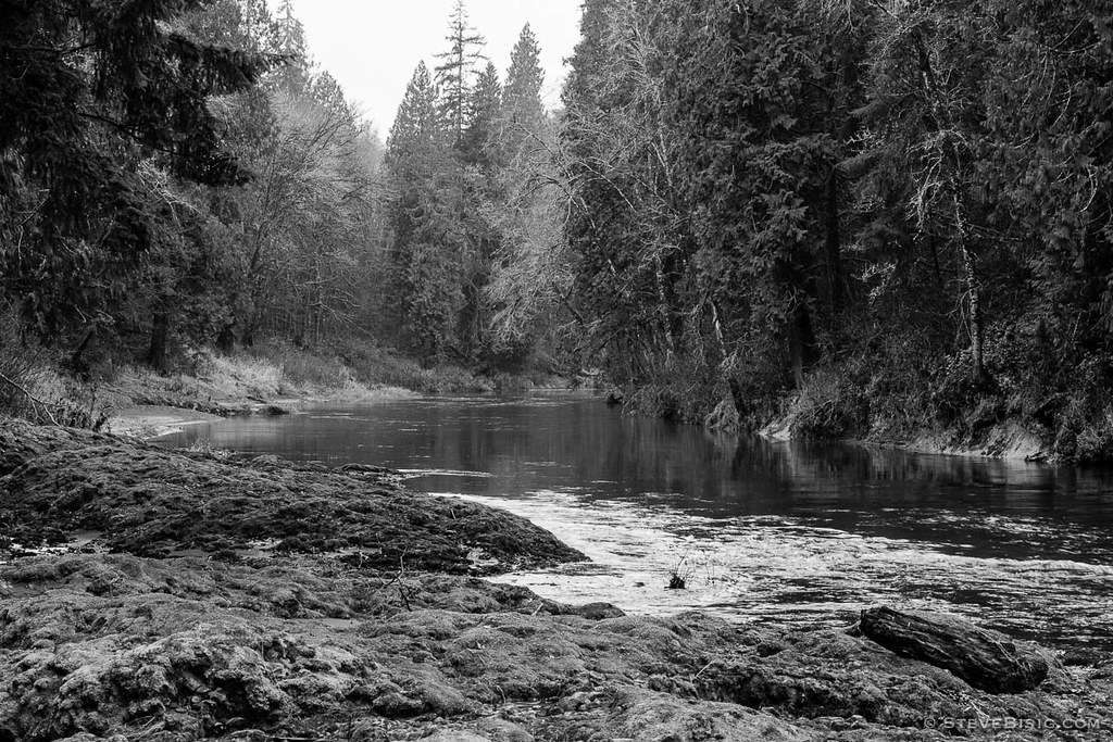
Rainbow Falls State Park No. 1, Washington, 2015
#DeepCreekRoad

Our Dog Halle
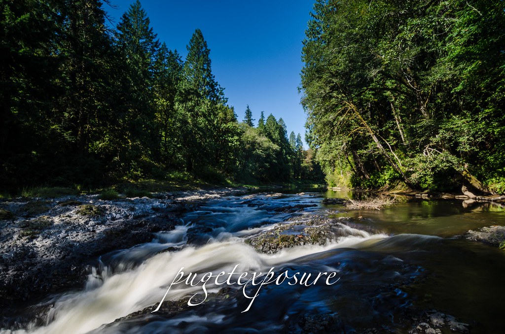
Rainbow Falls State Park
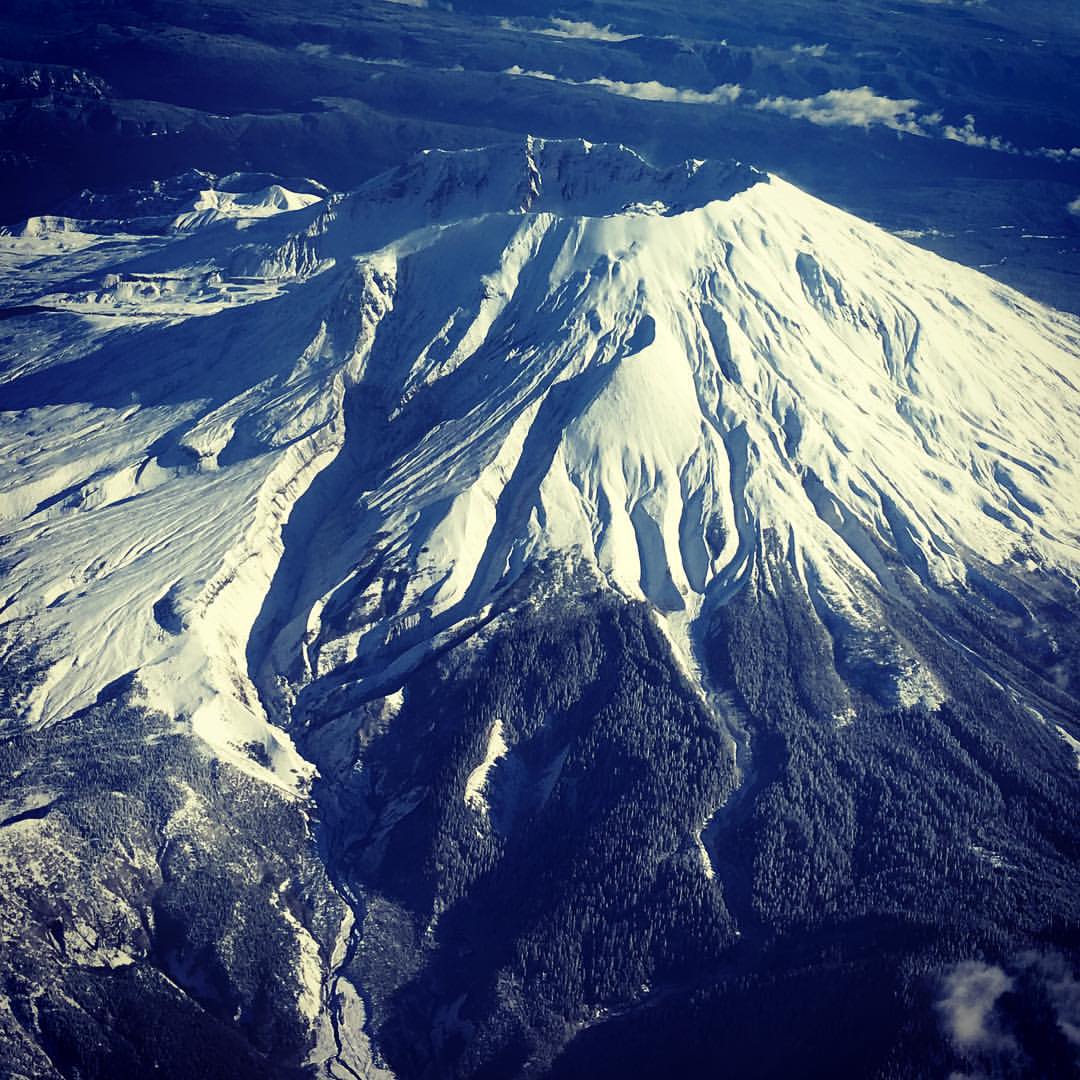
Mt St Helens from my seat on @alaskaair to Portland. Isn't it looking gorgeous for its closeup? Yep, I'm back already. #mischiefmanaged #snow #volcano

Barn and Silo, Adna, Washington, 2015
Topographic Map of Cousins Rd, Chehalis, WA, USA
Find elevation by address:

Places near Cousins Rd, Chehalis, WA, USA:
1164 Pleasant Valley Rd
Nix Road
619 Brown Rd E
103 Nix Rd
134 Sunset Dr
114 Pine Dr
198 Galaxie Rd
132 Jordy Ln
110 Sadie Ln
108 Sadie Ln
Newaukum Hill
156 Haight Rd
1941 Rice Rd
714 W Main St
Rice Road
225 Nw Cascade Ave
454 Ne Adams Ave
Chehalis
1601 Nw Louisiana Ave
1300 N National Ave
Recent Searches:
- Elevation of 116, Beartown Road, Underhill, Chittenden County, Vermont, 05489, USA
- Elevation of Window Rock, Colfax County, New Mexico, 87714, USA
- Elevation of 4807, Rosecroft Street, Kempsville Gardens, Virginia Beach, Virginia, 23464, USA
- Elevation map of Matawinie, Quebec, Canada
- Elevation of Sainte-Émélie-de-l'Énergie, Matawinie, Quebec, Canada
- Elevation of Rue du Pont, Sainte-Émélie-de-l'Énergie, Matawinie, Quebec, J0K2K0, Canada
- Elevation of 8, Rue de Bécancour, Blainville, Thérèse-De Blainville, Quebec, J7B1N2, Canada
- Elevation of Wilmot Court North, 163, University Avenue West, Northdale, Waterloo, Region of Waterloo, Ontario, N2L6B6, Canada
- Elevation map of Panamá Province, Panama
- Elevation of Balboa, Panamá Province, Panama
- Elevation of San Miguel, Balboa, Panamá Province, Panama
- Elevation of Isla Gibraleón, San Miguel, Balboa, Panamá Province, Panama
- Elevation of 4655, Krischke Road, Schulenburg, Fayette County, Texas, 78956, USA
- Elevation of Carnegie Avenue, Downtown Cleveland, Cleveland, Cuyahoga County, Ohio, 44115, USA
- Elevation of Walhonding, Coshocton County, Ohio, USA
- Elevation of Clifton Down, Clifton, Bristol, City of Bristol, England, BS8 3HU, United Kingdom
- Elevation map of Auvergne-Rhône-Alpes, France
- Elevation map of Upper Savoy, Auvergne-Rhône-Alpes, France
- Elevation of Chamonix-Mont-Blanc, Upper Savoy, Auvergne-Rhône-Alpes, France
- Elevation of 908, Northwood Drive, Bridge Field, Chesapeake, Virginia, 23322, USA