Elevation of Pleasant Valley Rd, Chehalis, WA, USA

Location: United States > Washington > Lewis County > Chehalis >

Longitude: -123.00062

Latitude: 46.5928906

Elevation: -10000m / -32808feet

Barometric Pressure: 295KPa

Elevation Map:

elevation map of Pleasant Valley Rd, Chehalis, WA, USA

Satellite Map:

Satellite map of Pleasant Valley Rd, Chehalis, WA, USA

Related Photos:

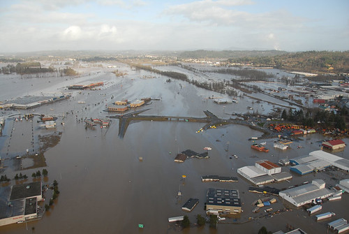
water washington highway i5 flood aerial interstate chehalis wsdot
Aerial view of I-5 in Chehalis
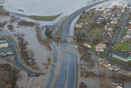
washington highway i5 flood interstate wsdot
Aerial view of I-5 in Chehalis
washington highway i5 flood centralia jc interstate governorgregoire
Governor Gregoire
willapahillstrail bikeride dlunused
08042018-34
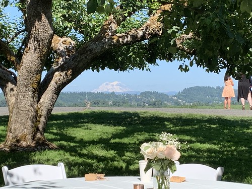
wedding theorchardatsunshinehill chehalis mtrainier dlused
06152019-056
wedding theorchardatsunshinehill chehalis dlunused
06152019-176
I'm on my way to Seattle stopped here for my lunch
road trip travel tourism digital canon way eos rebel high highway scenery kiss open view side scenic roadtrip tourist hwy views americana openroad interstate roadside dslr roadsideamerica touristtrap xsi x2 offtheinterstate winlock roadgeek 450d openroads ontheopenroad canoneos450d worldslargestegg canoneosdigitalrebelxsi kissdigitalx2canon thelargesteggintheworld
The Largest Egg in the World
road trip travel tourism digital canon way eos rebel high highway scenery kiss open view side scenic roadtrip tourist hwy views americana openroad interstate roadside dslr xsi x2 offtheinterstate roadgeek 450d openroads ontheopenroad canoneos450d canoneosdigitalrebelxsi kissdigitalx2canon
The Road from Winlock
snow tree rain bokeh chehalis
Snow and rain
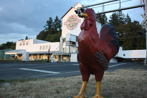
road trip travel tourism digital canon way eos rebel high highway scenery kiss open view side scenic roadtrip tourist hwy views americana openroad interstate roadside dslr roadsideamerica xsi x2 offtheinterstate roadgeek 450d openroads ontheopenroad canoneos450d canoneosdigitalrebelxsi kissdigitalx2canon
The Rooster Overlord sees all!
blue camping trees sky male guy green water hat rock river hands view baseball ripple bat ears swing camo jeans camouflage baseballbat
Fly Ball.... er.... Rock....
flickrandroidapp:filter=none valleyviewmedicalclinic
The Mummy Lives!
farm barley grain field
IMG_9011 Reisinger Farms barley field
geotagged cycling scot stp geolat46715606 geolon122961817
DSCN1625.JPG
geotagged cycling scot stp geolat46715606 geolon122961817
DSCN1622.JPG
geotagged cycling scot stp geolat46715606 geolon122961817
DSCN1624.JPG
wedding theorchardatsunshinehill chehalis mtrainier dlused
06152019-011
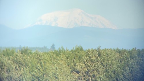
wedding theorchardatsunshinehill chehalis mtadams dlused
06152019-013
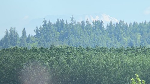
wedding theorchardatsunshinehill chehalis mtsthelens dlused
06152019-012
wedding theorchardatsunshinehill chehalis mtadams dlused
06152019-143
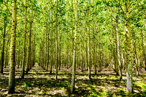
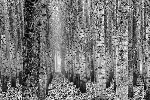
trees lewiscounty poplartreeplantation cityofchehalis
Poplar Tree Plantation
train rail railroad washington centrailia chehalis
Chehalis 17
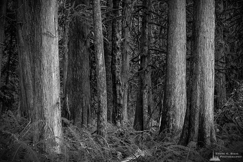
blackandwhite usa nature monochrome forest photography washington unitedstates northwest cedar pacificnorthwest northamerica ferns washingtonstate blackandwhitephotography photooftheday naturephotography lewiscounty lewisandclarkstatepark photographersontumblr originalphotographers
Cedar Forest, Lewis and Clark State Park, Washington, 2015
blackandwhite usa washington nikon poplar unitedstates northwest farm plantation pacificnorthwest northamerica washingtonstate manfrotto treefarm blackandwhitephotography lewiscounty nikonusa induro
Poplar Tree Plantation, Lewis County, Washington, 2015
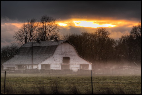
mist and barn
railroad chehaliscentralia train rail washington centrailia chehalis
Chehalis-Centralia Railroad 17
washington winlock pacificnorthwest southarmstudio aerial
Winlock, Wa area
square squareformat iphoneography instagramapp uploaded:by=instagram foursquare:venue=4d2cfbdc79bc721ec874e7ee
Lovely sunset yesterday.
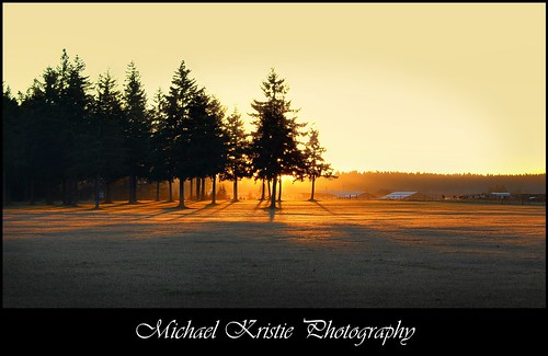
Sunrise Through Trees
lewiscounty chehalis
07.06 - Nacho Trip 07
flood
Road Closed
a poplar place to be
deepcreekroad uploaded:by=flickrmobile flickriosapp:filter=nofilter adnaanywhere
#DeepCreekRoad
square squareformat normal iphoneography instagramapp uploaded:by=instagram foursquare:venue=4ea6f88793ad76dfdb9da7aa
Spring time's here.
Our Dog Halle
blackandwhite usa washington nikon poplar unitedstates northwest farm plantation pacificnorthwest northamerica washingtonstate manfrotto treefarm blackandwhitephotography lewiscounty nikonusa induro
Poplar Tree Plantation, Lewis County, Washington, 2015
road seattle christmas street door city travel pink trees winter wedding sunset summer portrait sky woman usa dog mountain snow flower building art nature glass girl grass animals architecture bar cat sunrise canon river landscape waterfall washington nikon raw natural legs skin kodak bad frosty scene tights rapids foliage rainier western centralia olympia wa tacoma cascade dressed tranquil hdr oldbuilding kingcounty museaum mountainrange lewiscounty chehalis winlock piercecounty michaelberger emptyroad napavine michaelkristie michaelbergerphotography michaelkristiephotography michaelbergerphotographycom michaelkristiephotographycom
Sears Creek I
day cloudy partlycloudy uploaded:by=flickrmobile flickriosapp:filter=nofilter adnaanywhere
#PartlyCloudy
road seattle christmas street door city travel pink trees winter wedding sunset summer portrait sky woman usa dog mountain snow flower building art nature glass girl grass animals architecture bar cat sunrise canon river landscape waterfall washington nikon raw natural legs skin kodak bad frosty scene tights rapids foliage rainier western centralia olympia wa tacoma cascade dressed tranquil hdr oldbuilding kingcounty museaum mountainrange lewiscounty chehalis winlock piercecounty michaelberger emptyroad napavine michaelkristie michaelbergerphotography michaelkristiephotography michaelbergerphotographycom michaelkristiephotographycom
Sears Creek III
squid-tree