Elevation of County Rd, Columbia, MO, USA
Location: United States > Missouri > Callaway County > Cleveland Township >
Longitude: -92.134679
Latitude: 38.9400078
Elevation: 256m / 840feet
Barometric Pressure: 98KPa
Elevation Map:
Satellite Map:
Related Photos:
Grand Rear View
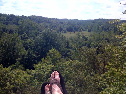
View Of The Valley
Phillips 66 Gas Station
View from the church parking lot
New view
bug's view
Columbia MO, Street view
The view from room 218 at the Fairfield Inn in Columbia, MO

Turkey Parade
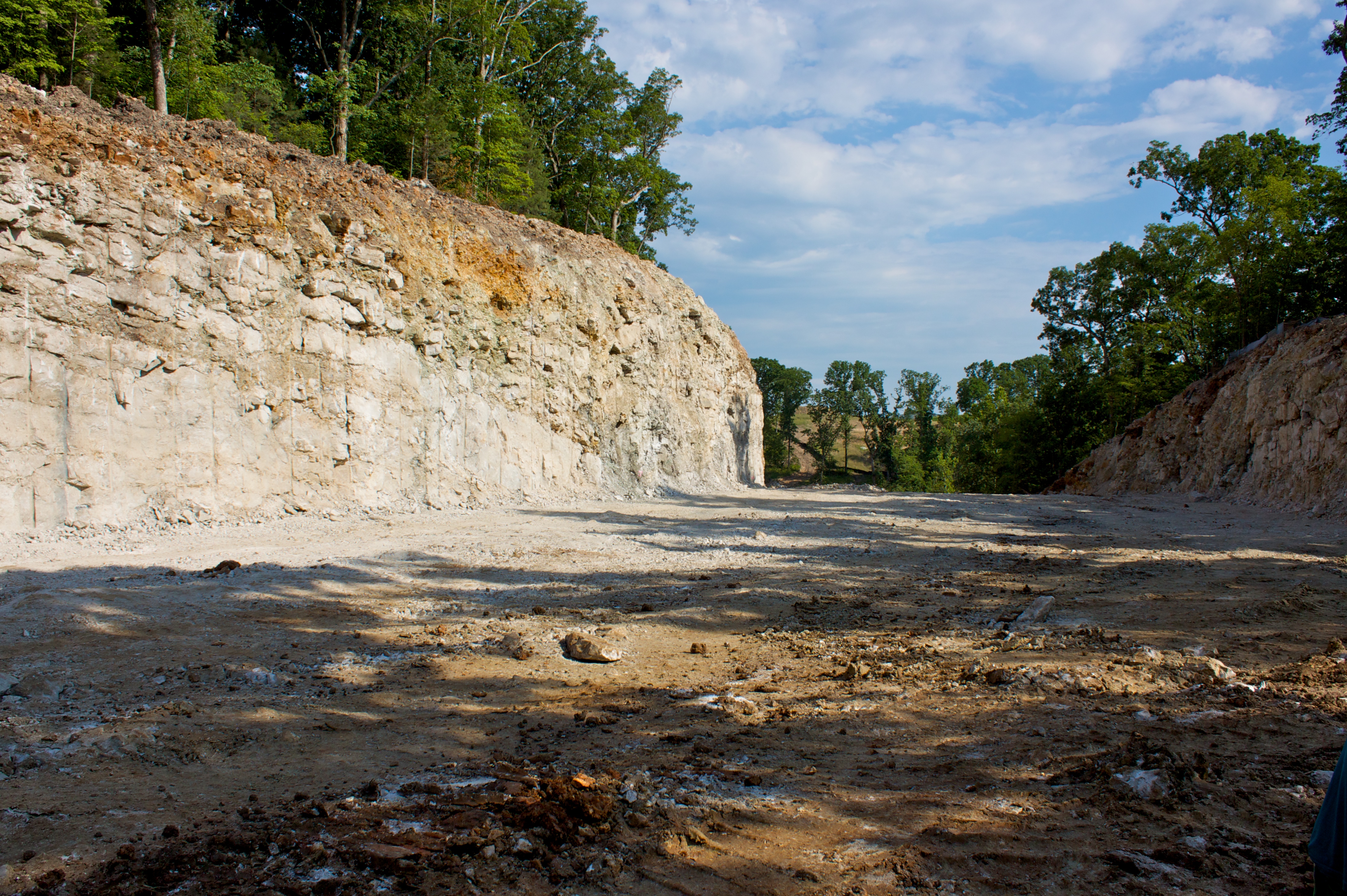
Another View of the New Roadbed
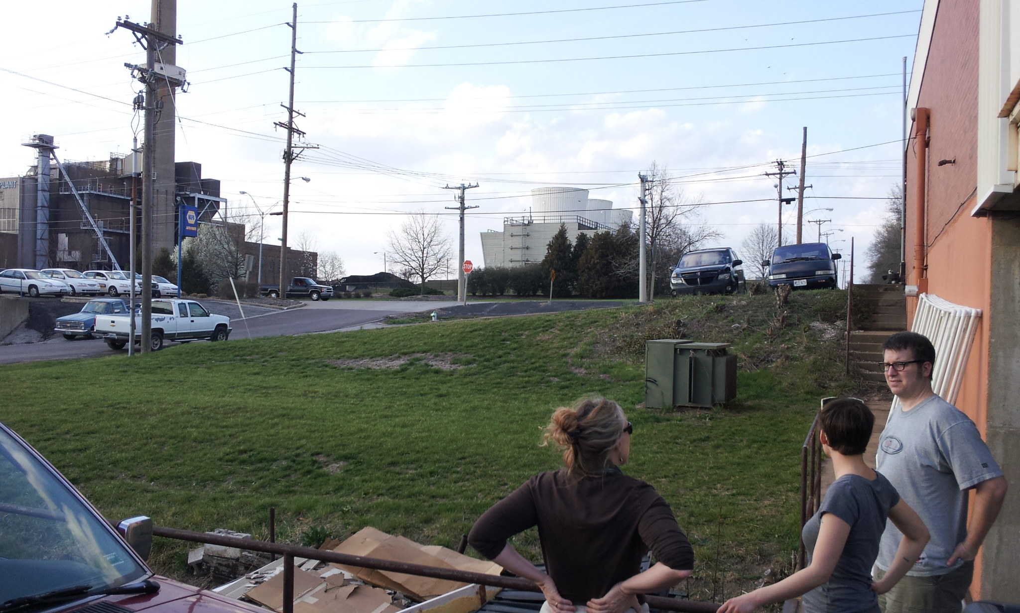
True/False Lab "front porch"

Volume button controls the shutter when camera app is active

Backyard with a view
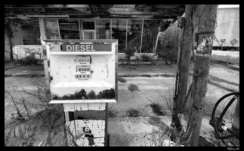
Diesel Pump
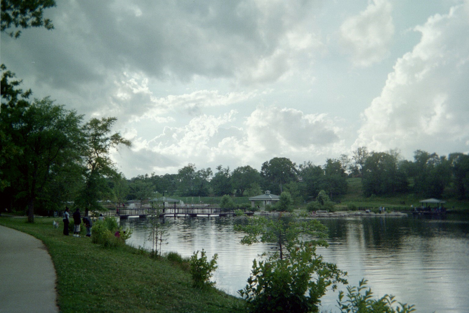
Enjoying the view at Capen Park.
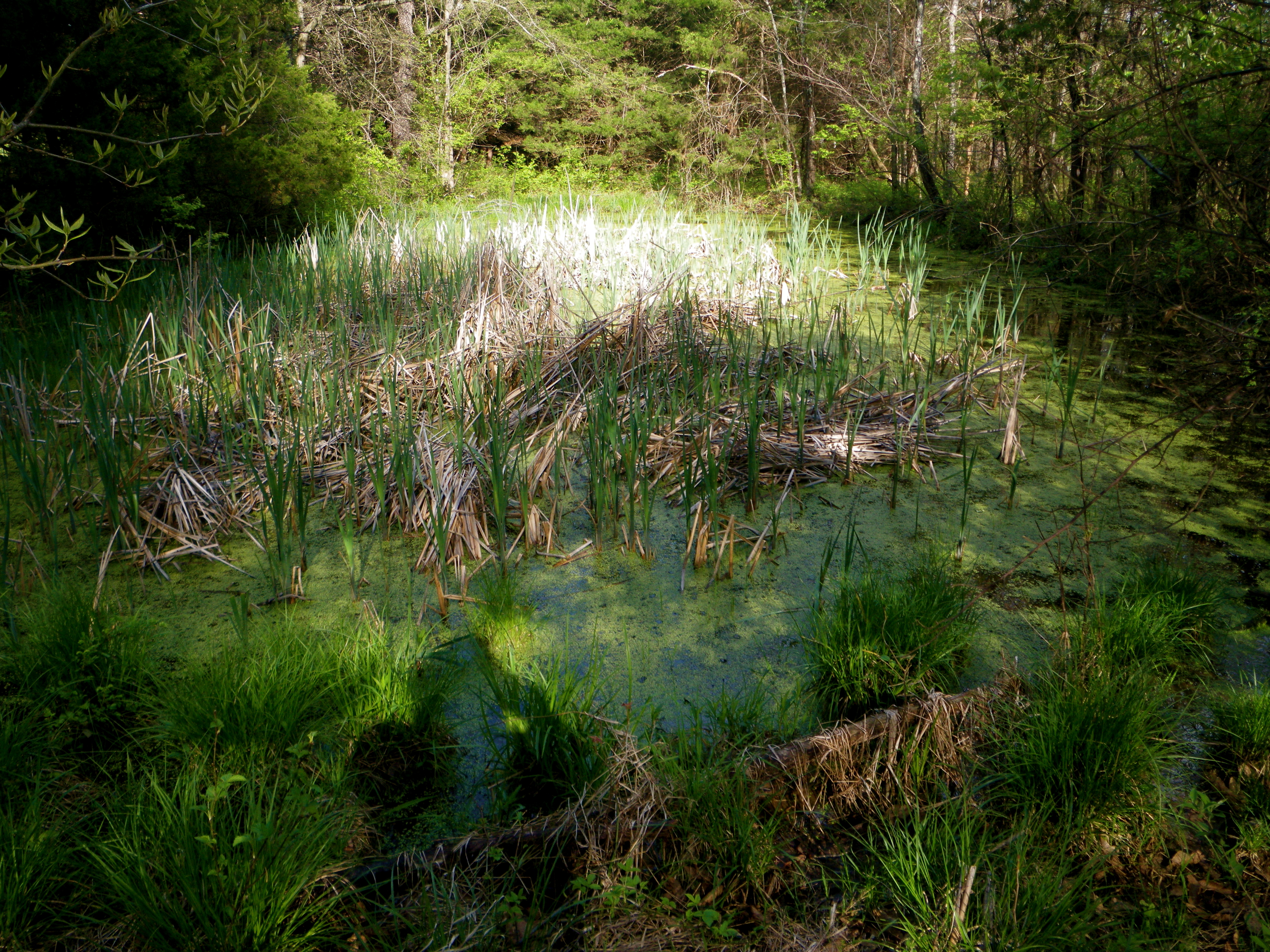
The Crick
Magical Water IMGP4031

Roots n Blues n BBQ Festival
Camera Roll-672

DSCF0032.JPG

DSCF0033.JPG
Columbia, MO
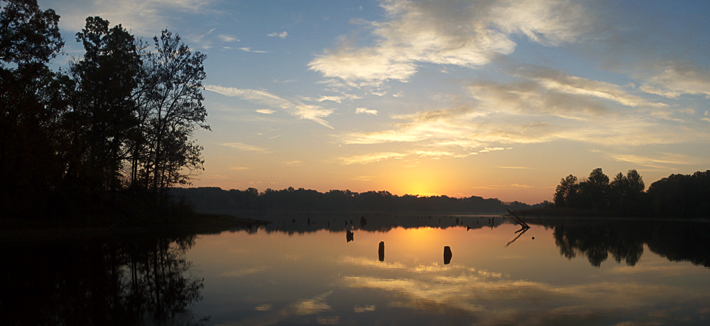
Little Dixie Lake Sunrise
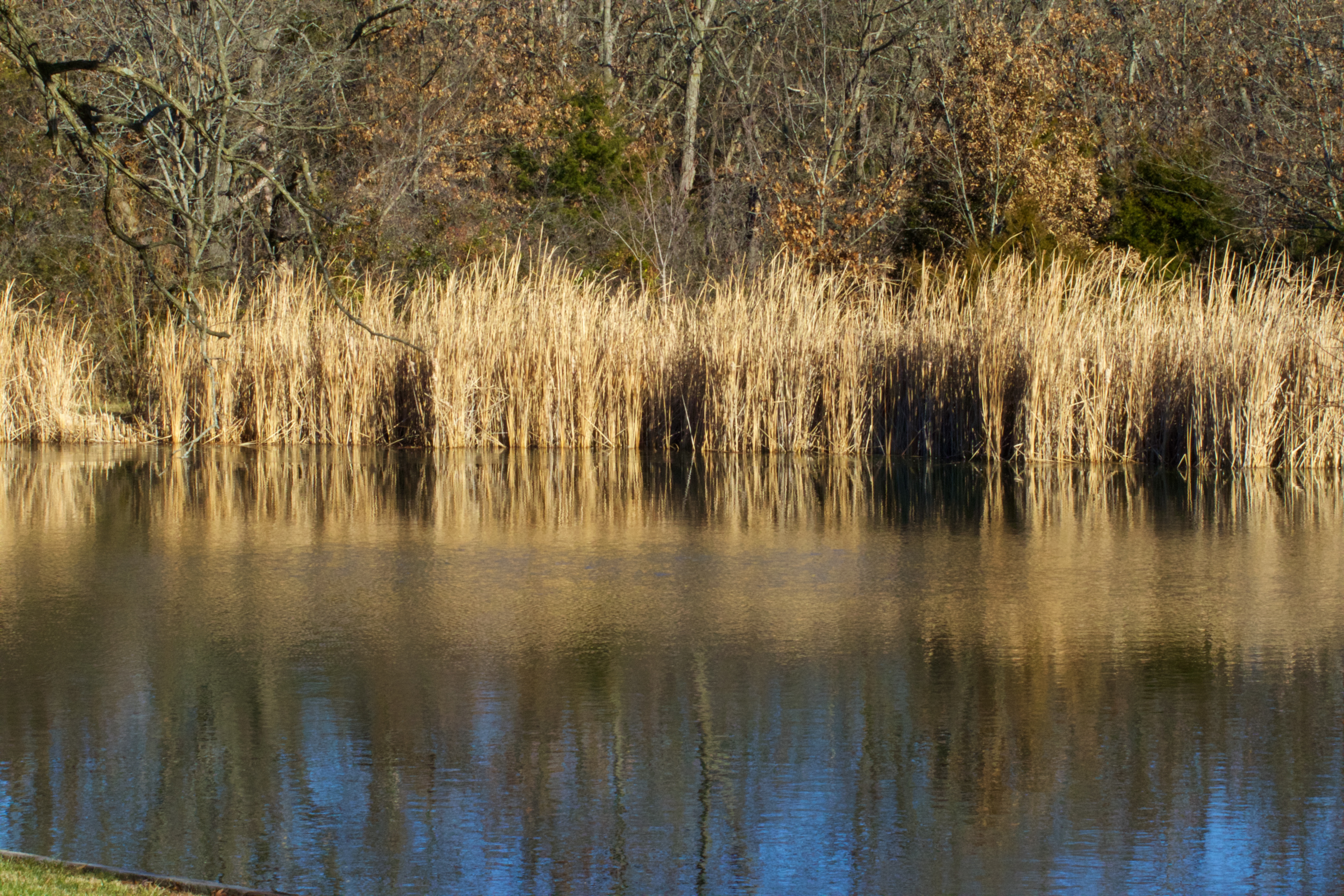
Winter Pond

DSCF0037.JPG

DSCF0036.JPG
Close to the Edge

Tunneled Winter

Little Dixie Sunrise
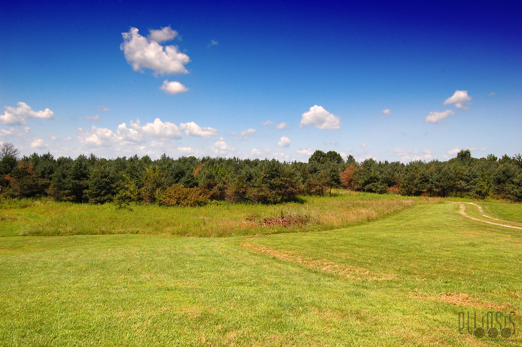
The Front 40

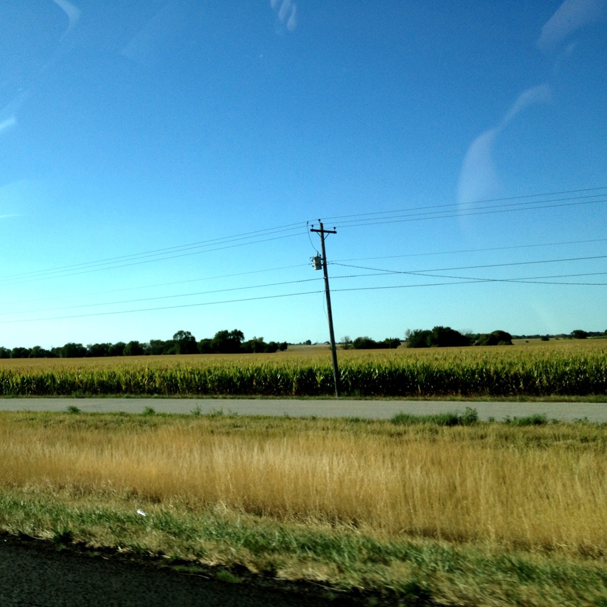
Dried Fields

غروب sunset

Wheat Field

DSCF0038.JPG
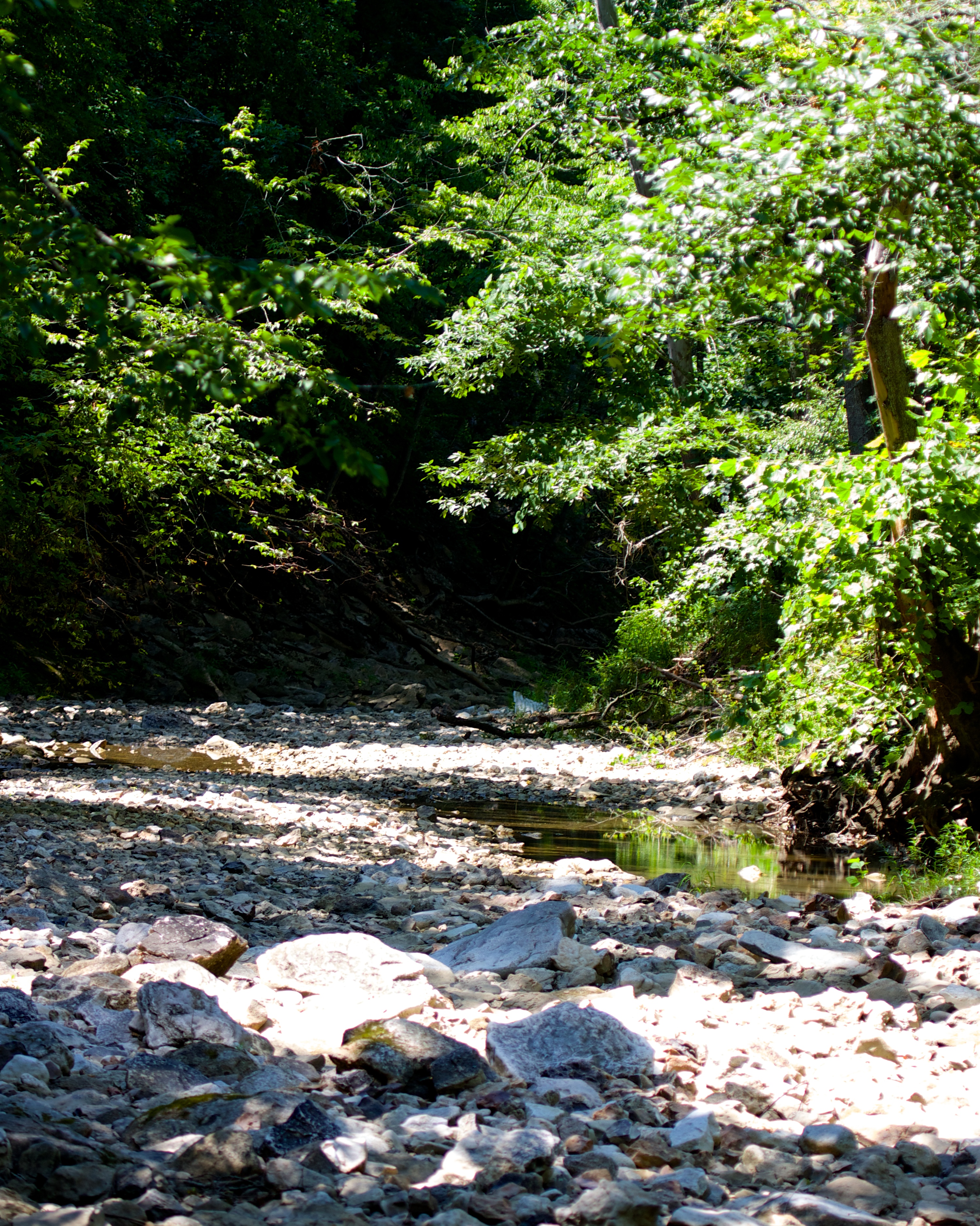
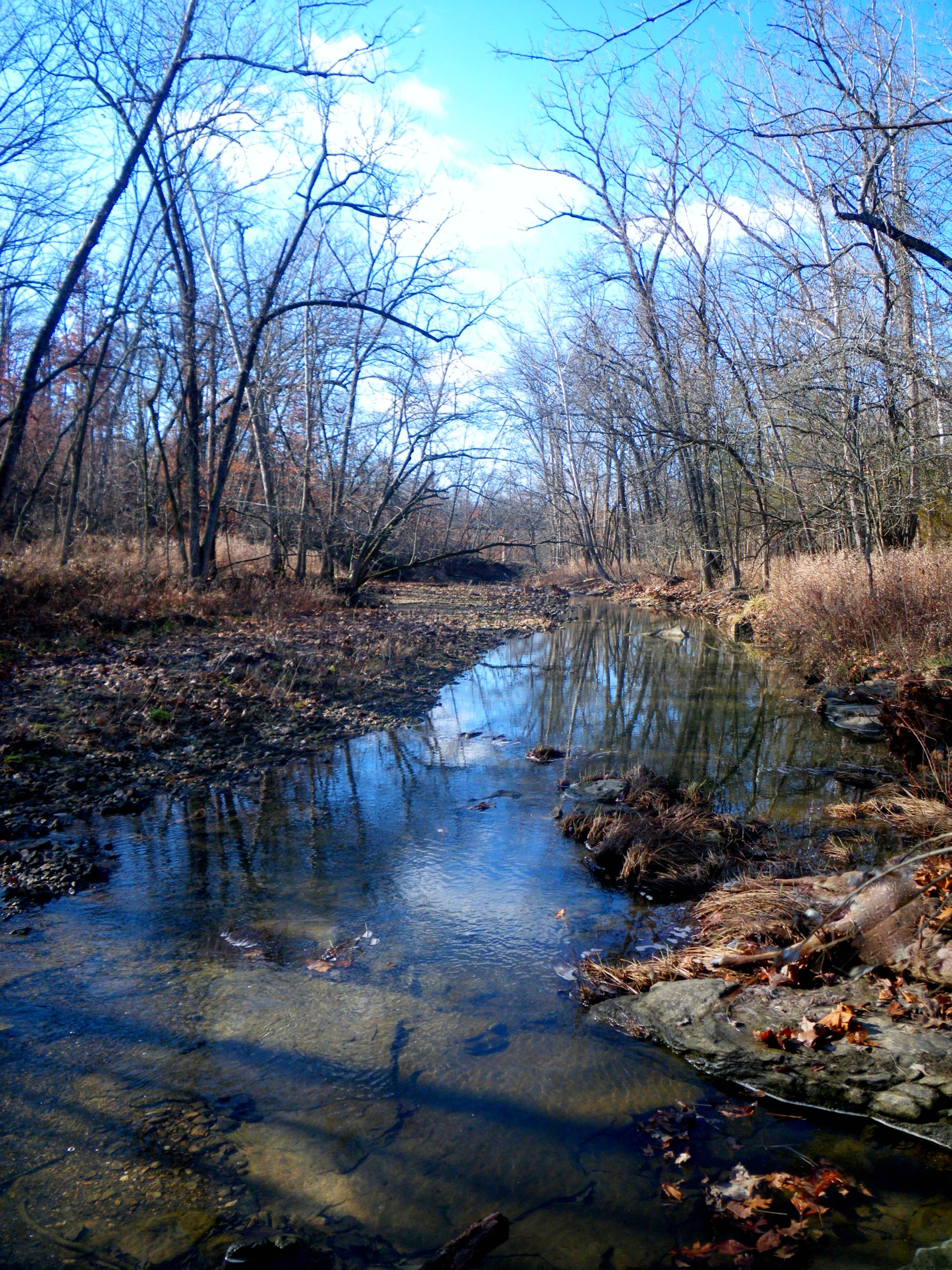
South Fork of the Grindstone Creek
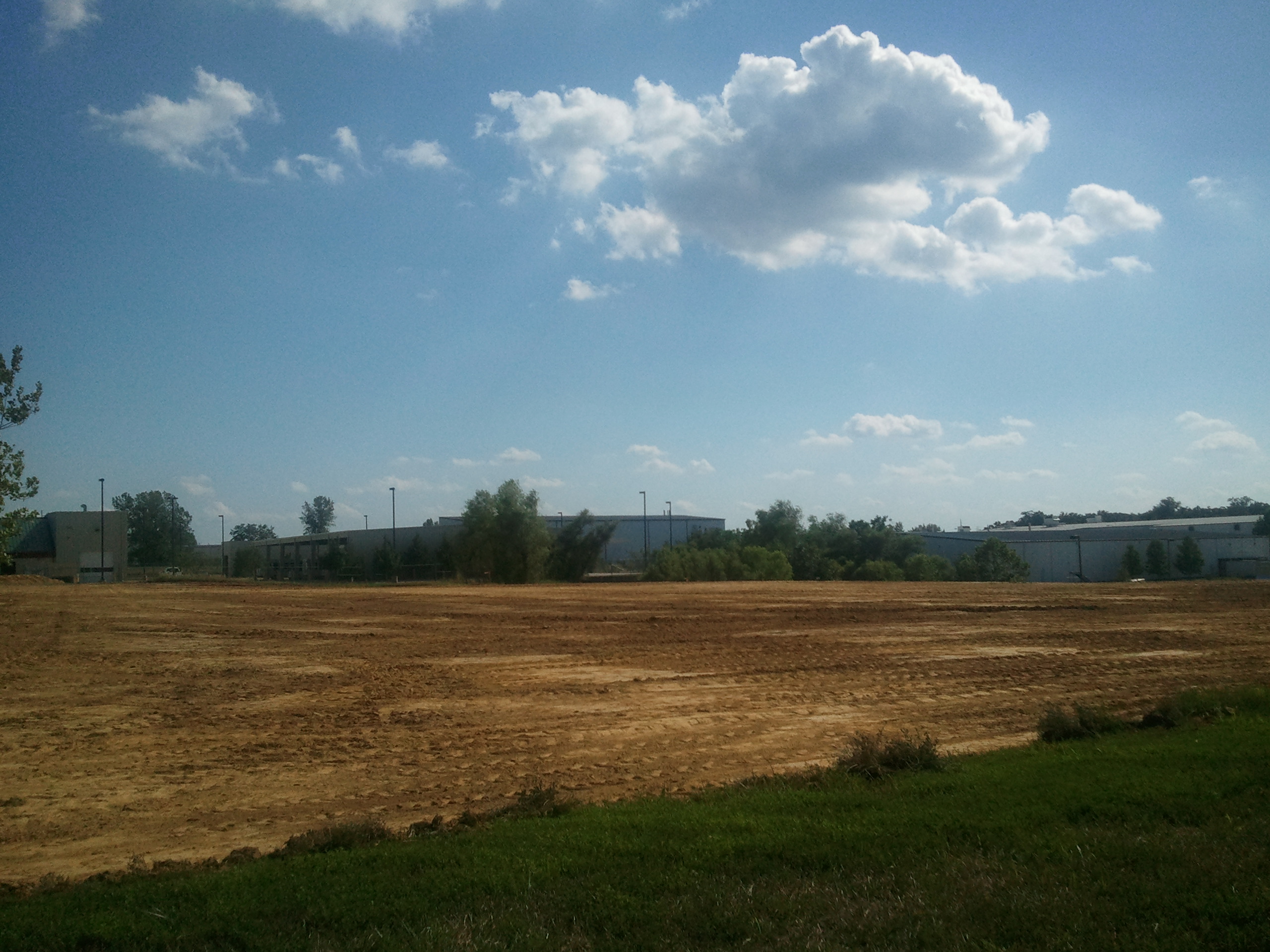
CARFAX Expansion - 2011
Topographic Map of County Rd, Columbia, MO, USA
Find elevation by address:

Places near County Rd, Columbia, MO, USA:
1677 Bent Creek Dr
1710 County Rd 276
1710 County Rd 276
Cleveland Township
50 N Rangeline Rd
Columbia Township
2600 Agate Way
E Deer Park Rd, Columbia, MO, USA
3900 Clark Ln
Pioneer Drive
State Hwy Ac & Old 63 S & Old U.s. 63
1646 Towne Dr
State Hwy Ac & S Bearfield Rd
South Bearfield Road
E Stadium Blvd & Old 63 S
4126 Juniper Pl
Paris Rd, Columbia, MO, USA
5170 N Oakland Gravel Rd
830 Kittyhawk Dr
830 Kittyhawk Dr
Recent Searches:
- Elevation of Corso Fratelli Cairoli, 35, Macerata MC, Italy
- Elevation of Tallevast Rd, Sarasota, FL, USA
- Elevation of 4th St E, Sonoma, CA, USA
- Elevation of Black Hollow Rd, Pennsdale, PA, USA
- Elevation of Oakland Ave, Williamsport, PA, USA
- Elevation of Pedrógão Grande, Portugal
- Elevation of Klee Dr, Martinsburg, WV, USA
- Elevation of Via Roma, Pieranica CR, Italy
- Elevation of Tavkvetili Mountain, Georgia
- Elevation of Hartfords Bluff Cir, Mt Pleasant, SC, USA