Elevation of Cleveland Township, MO, USA
Location: United States > Missouri > Callaway County >
Longitude: -92.115569
Latitude: 38.9998548
Elevation: 262m / 860feet
Barometric Pressure: 98KPa
Elevation Map:
Satellite Map:
Related Photos:
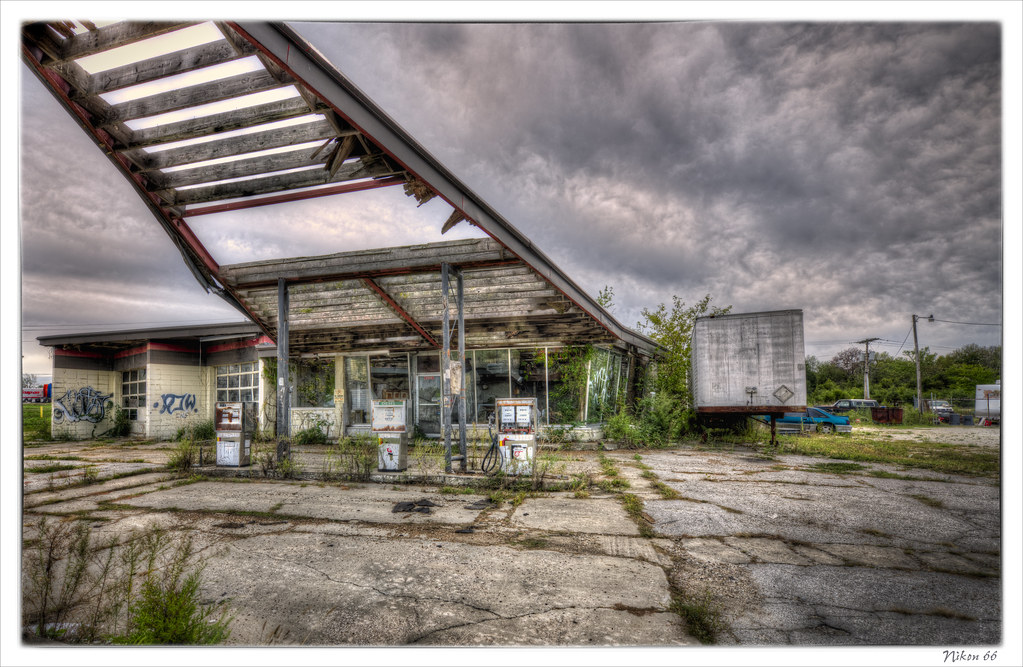
Phillips 66 Gas Station
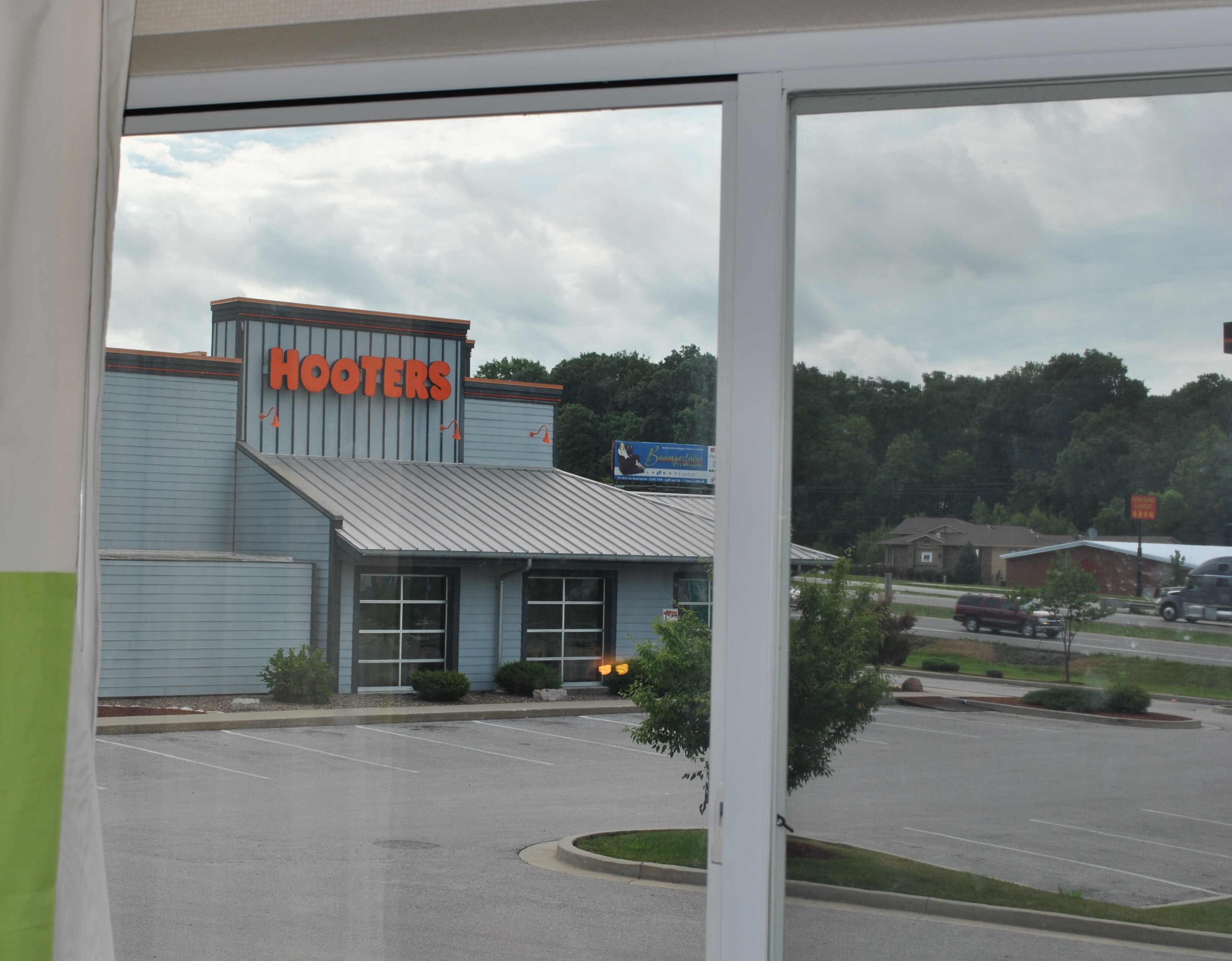
The view from room 218 at the Fairfield Inn in Columbia, MO
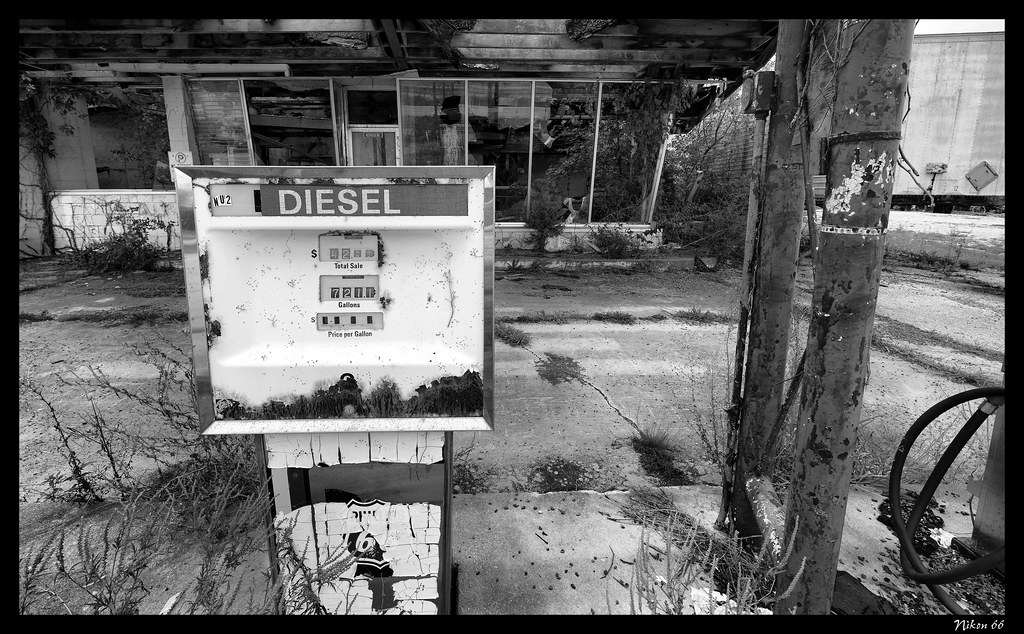
Diesel Pump
Camera Roll-672
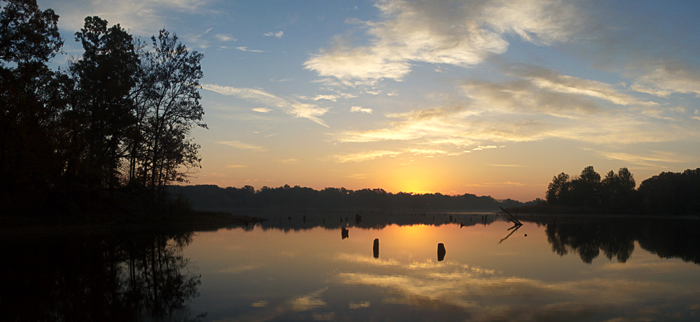
Little Dixie Lake Sunrise

Little Dixie Sunrise
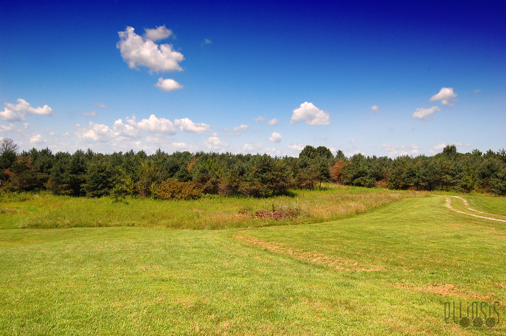
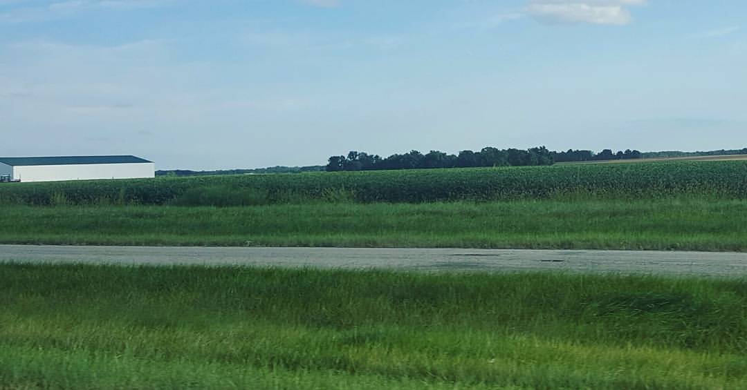
The Front 40

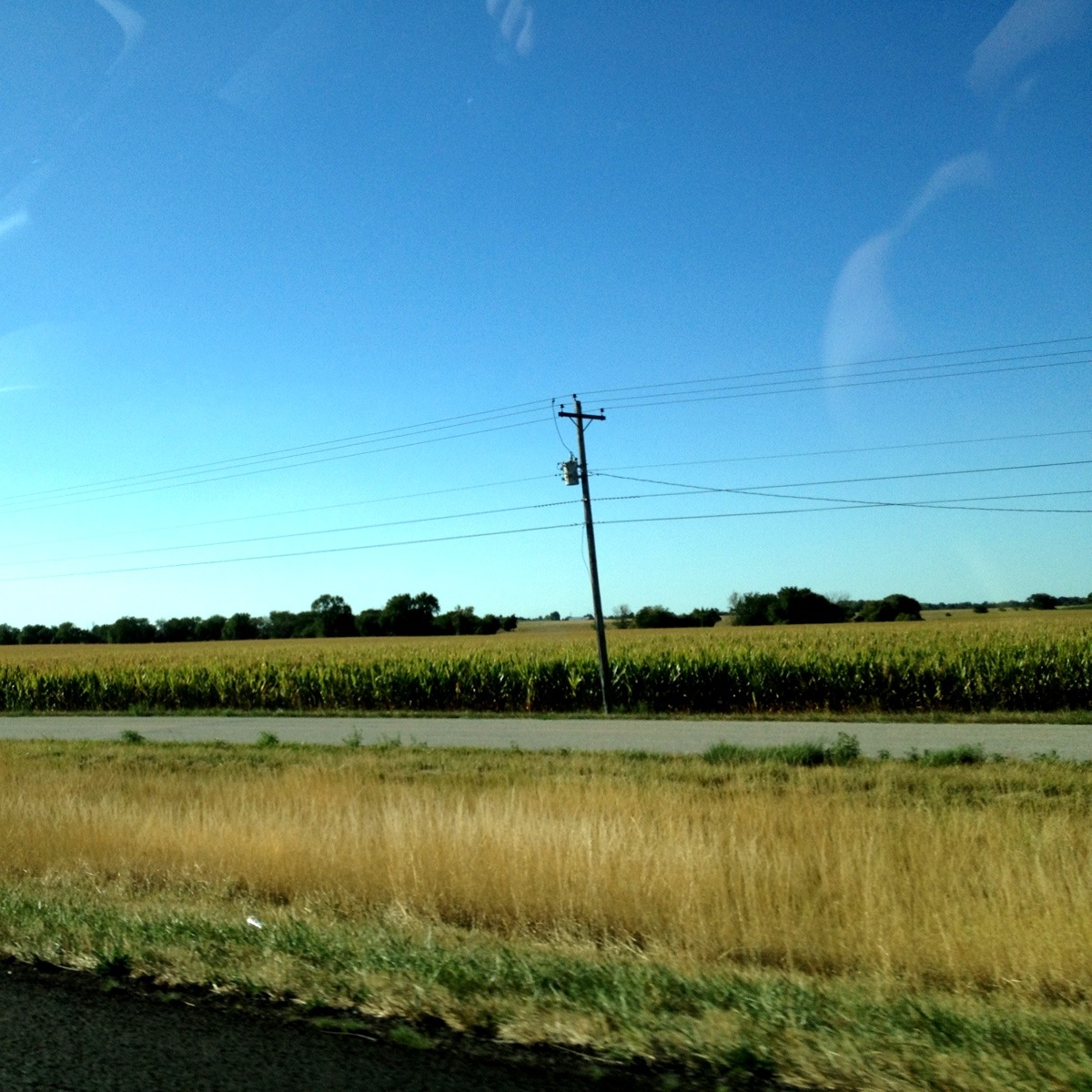
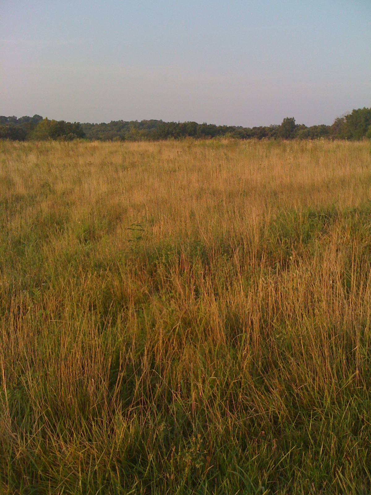
Wheat Field

Little Dixie Lake-5291
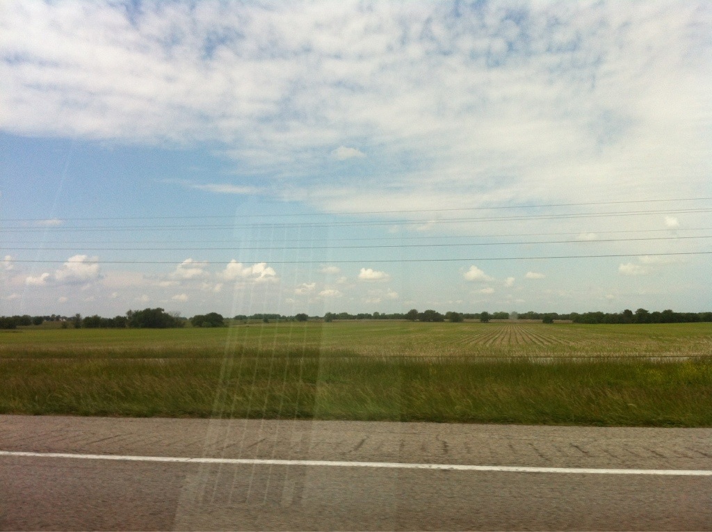
It's flat out here...
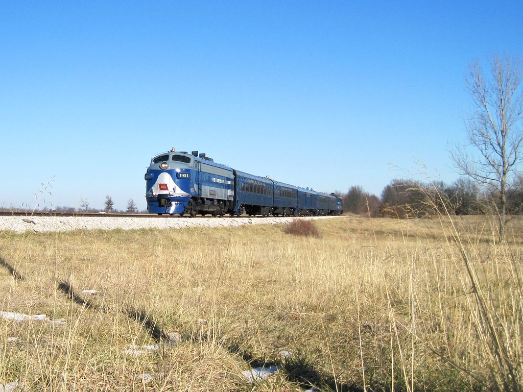
Modern Day Bluebird
Golden Light (48/365)
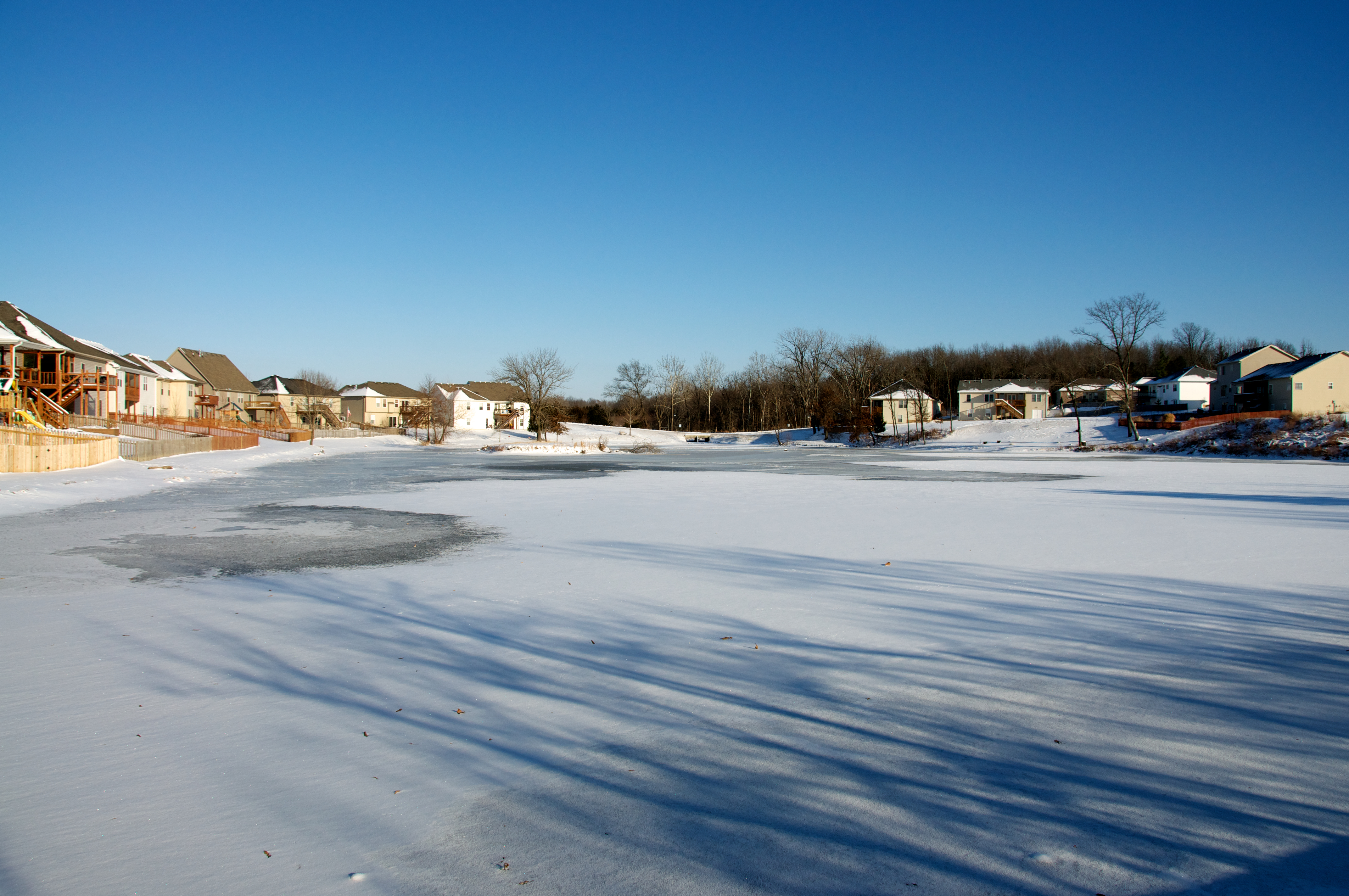
The Surface of a Frozen Pond
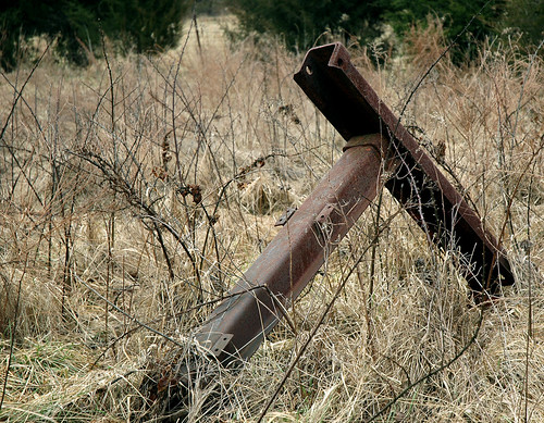
some iron
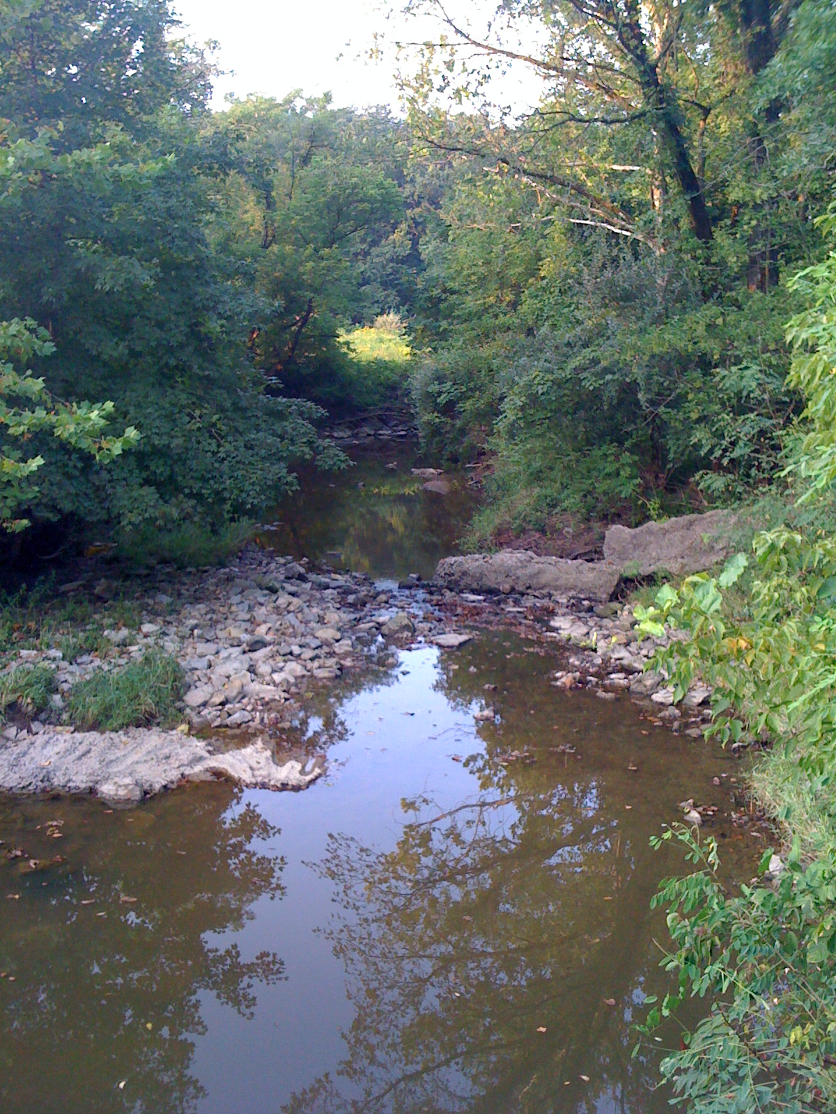
An Appealing Sight
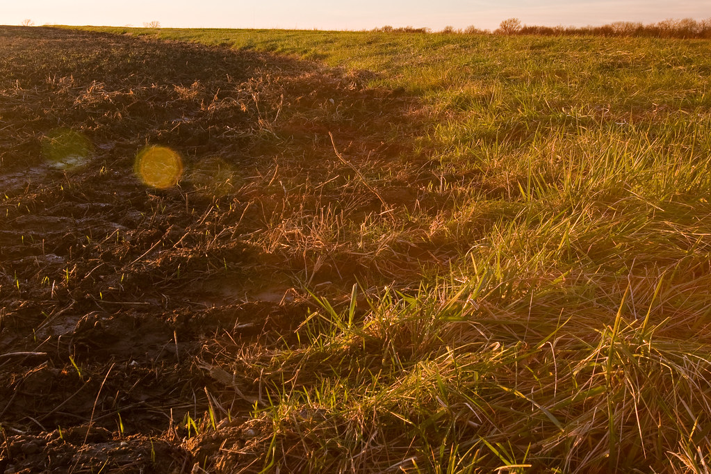
A Sea of Grasses

thorny sticks
how #green the #heartofamerica is this weekend ^^ #landscape
Freecycle offering 2
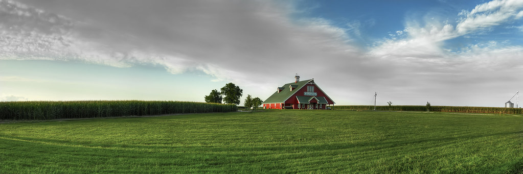
Shryocks Callaway Farms

Ari on #18.jpg
#8.jpg
OH.jpg
Dog and Shovel
Topographic Map of Cleveland Township, MO, USA
Find elevation by address:

Places near Cleveland Township, MO, USA:
1710 County Rd 276
1710 County Rd 276
1677 Bent Creek Dr
1561 County Rd 258
50 N Rangeline Rd
Columbia Township
2600 Agate Way
3900 Clark Ln
Pioneer Drive
5170 N Oakland Gravel Rd
1646 Towne Dr
E Deer Park Rd, Columbia, MO, USA
Columbia, MO, USA
Paris Rd, Columbia, MO, USA
1508 Carolina Dr
830 Kittyhawk Dr
830 Kittyhawk Dr
830 Kittyhawk Dr
830 Kittyhawk Dr
830 Kittyhawk Dr
Recent Searches:
- Elevation of Corso Fratelli Cairoli, 35, Macerata MC, Italy
- Elevation of Tallevast Rd, Sarasota, FL, USA
- Elevation of 4th St E, Sonoma, CA, USA
- Elevation of Black Hollow Rd, Pennsdale, PA, USA
- Elevation of Oakland Ave, Williamsport, PA, USA
- Elevation of Pedrógão Grande, Portugal
- Elevation of Klee Dr, Martinsburg, WV, USA
- Elevation of Via Roma, Pieranica CR, Italy
- Elevation of Tavkvetili Mountain, Georgia
- Elevation of Hartfords Bluff Cir, Mt Pleasant, SC, USA