Elevation of County Rd .5, Trinchera, CO, USA
Location: United States > Colorado > Las Animas County > Trinchera >
Longitude: -104.19668
Latitude: 37.0745722
Elevation: 1760m / 5774feet
Barometric Pressure: 82KPa
Elevation Map:
Satellite Map:
Related Photos:
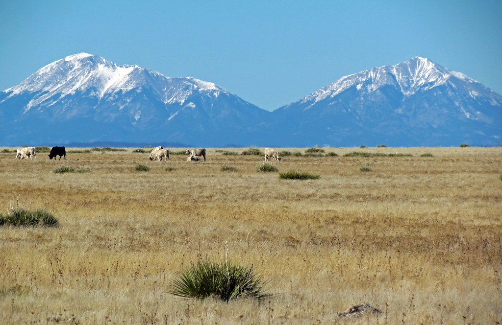
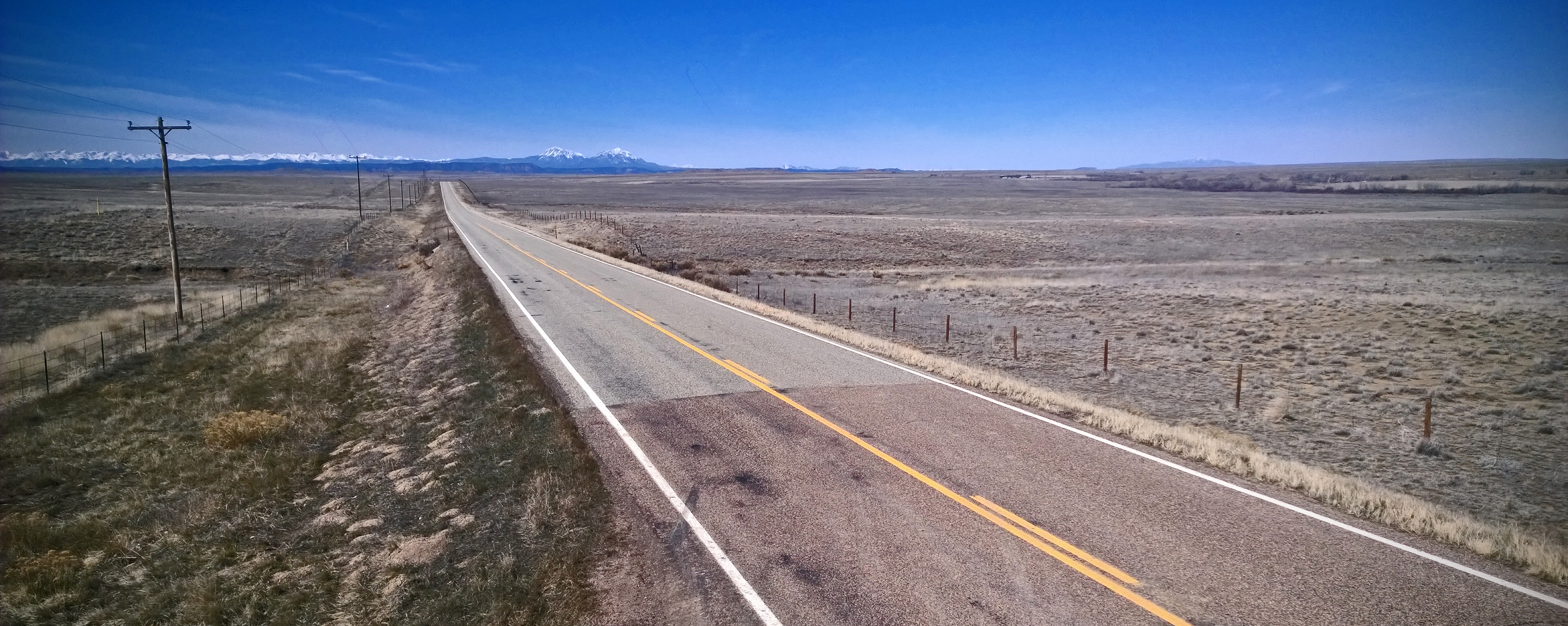
Spanish Peaks: Viewed from Trinchera, Colorado (CO)
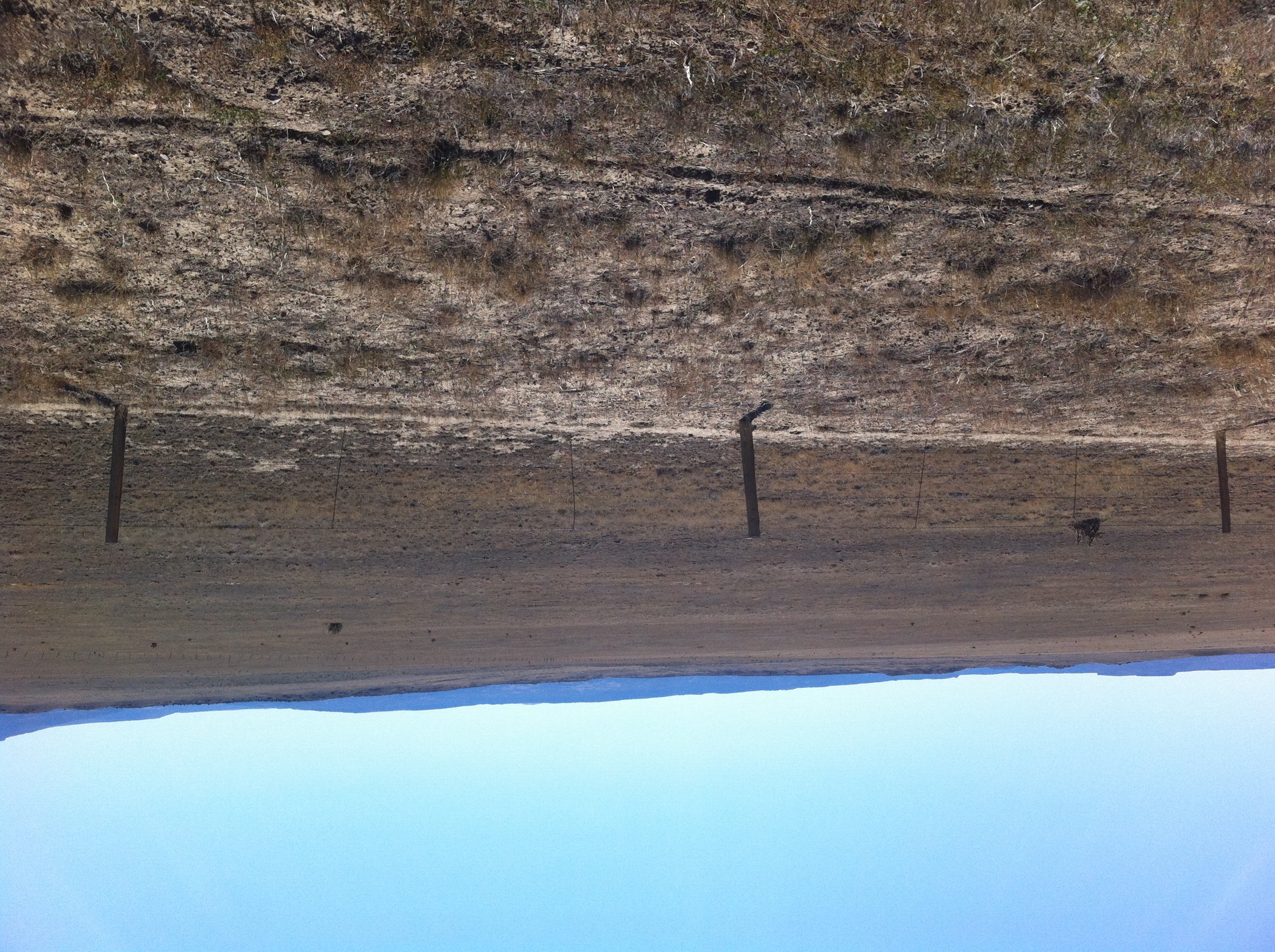
Dry!

Angry Skies at Trinchera
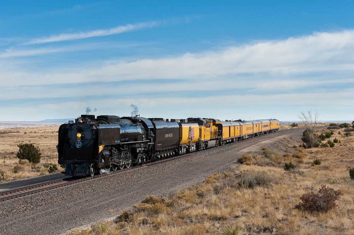
RR-20121104-TwinPeaksSub-114.jpg
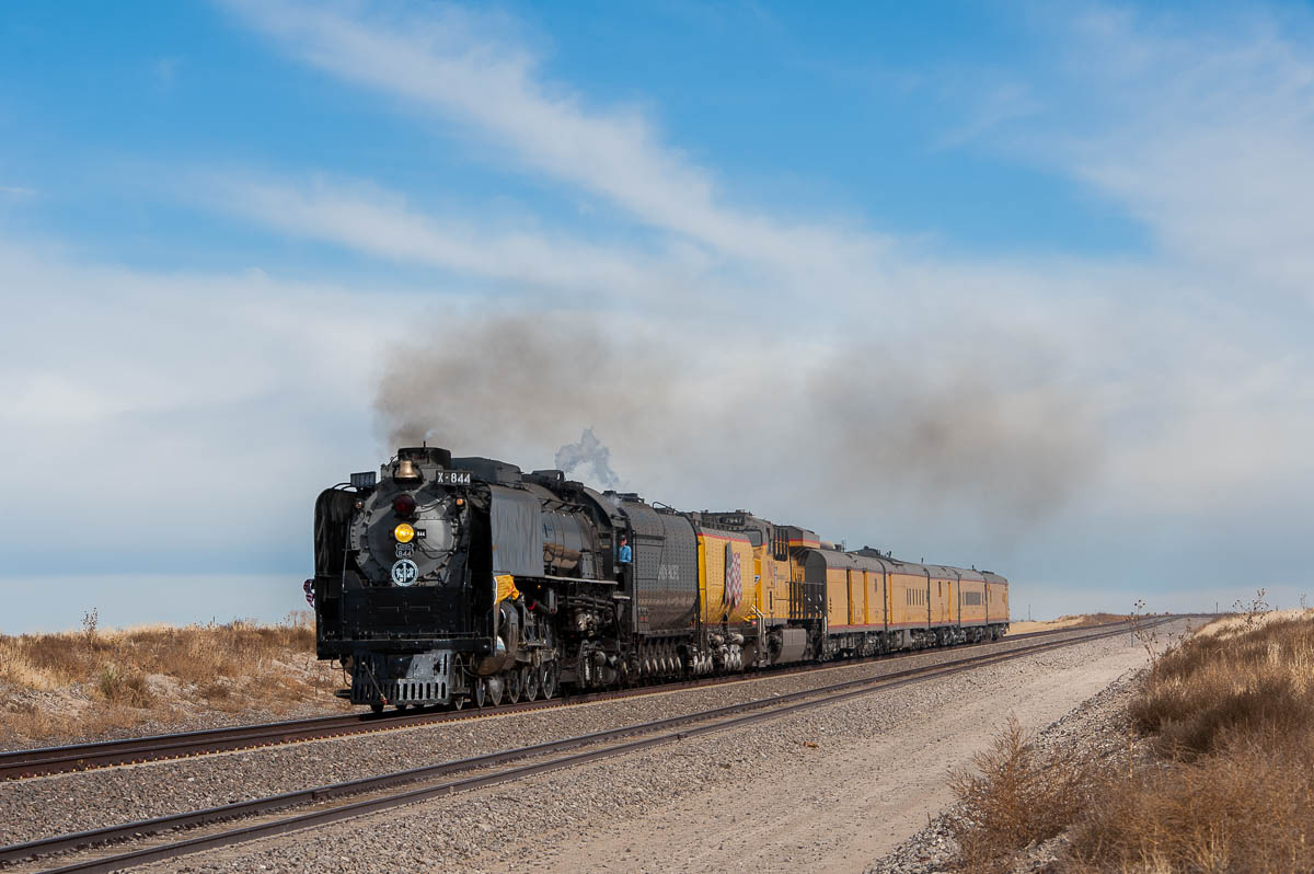
RR-20121104-TwinPeaksSub-87.jpg

Post Office 81081 (Trinchera, Colorado)
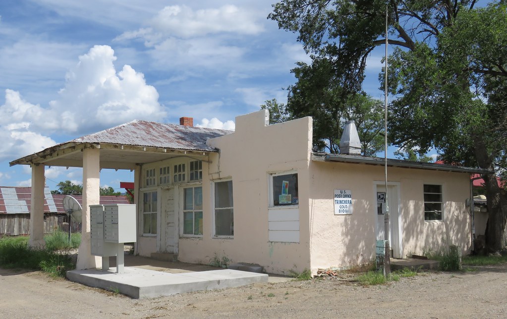
Post Office 81081 (Trinchera, Colorado)
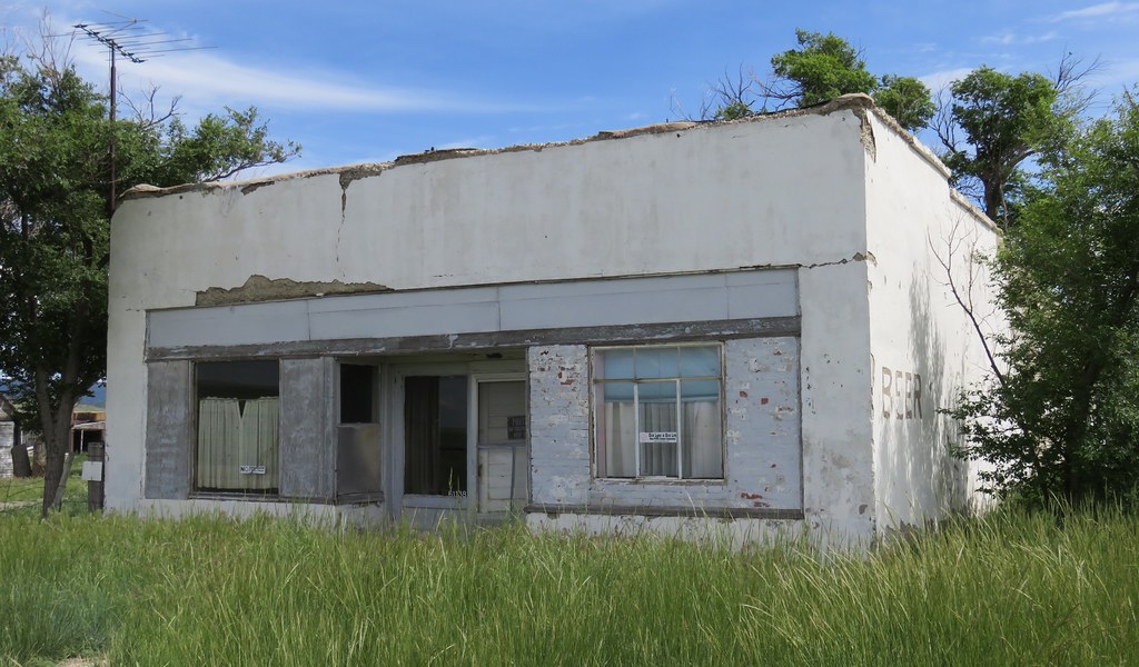
Old Building (Trinchera, Colorado)
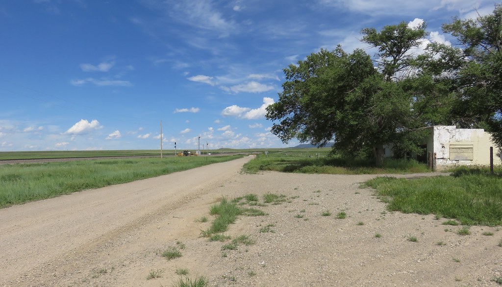
Trinchera, Colorado
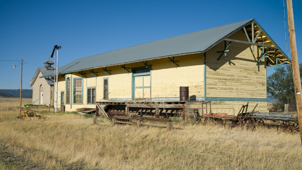
Depot - Trinchera, CO
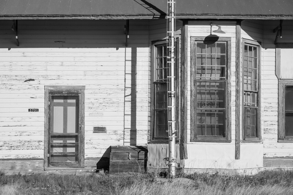
Bay Window, Depot - Trinchera, CO
Spring Break 2015 : Colorado Road Trip

Two-tailed Swallowtail
July 9th
Topographic Map of County Rd .5, Trinchera, CO, USA
Find elevation by address:

Places near County Rd .5, Trinchera, CO, USA:
33185 Old Mission Ridge
NM-, Raton, NM, USA
Las Animas County
33021 Sunset Dr
Fishers Peak
Hoehne
1357 N 1st St
220 Boundary St
Raton
Raton
333 Corundum Rd
County Rd 75.1, Trinidad, CO, USA
US-, Model, CO, USA
Model
Raton Pass
11831 Diamond View Rd
El Moro
37177 County Rd 26.4
1104 E 9th St
1264 Brilliant St
Recent Searches:
- Elevation of Corso Fratelli Cairoli, 35, Macerata MC, Italy
- Elevation of Tallevast Rd, Sarasota, FL, USA
- Elevation of 4th St E, Sonoma, CA, USA
- Elevation of Black Hollow Rd, Pennsdale, PA, USA
- Elevation of Oakland Ave, Williamsport, PA, USA
- Elevation of Pedrógão Grande, Portugal
- Elevation of Klee Dr, Martinsburg, WV, USA
- Elevation of Via Roma, Pieranica CR, Italy
- Elevation of Tavkvetili Mountain, Georgia
- Elevation of Hartfords Bluff Cir, Mt Pleasant, SC, USA