Elevation of Corporate Ave, Hayward, CA, USA
Location: United States > California > Alameda County > Hayward >
Longitude: -122.11347
Latitude: 37.6260004
Elevation: 4m / 13feet
Barometric Pressure: 101KPa
Elevation Map:
Satellite Map:
Related Photos:
the gatekeeper

Icon - vintage series
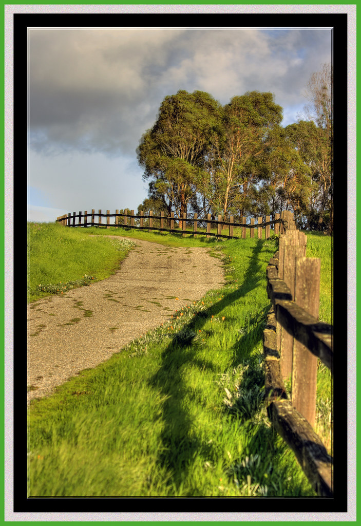
The Road Less Travelled...

Air and water, charging on!

Empty seats at the stadium

Fluorescein Dye
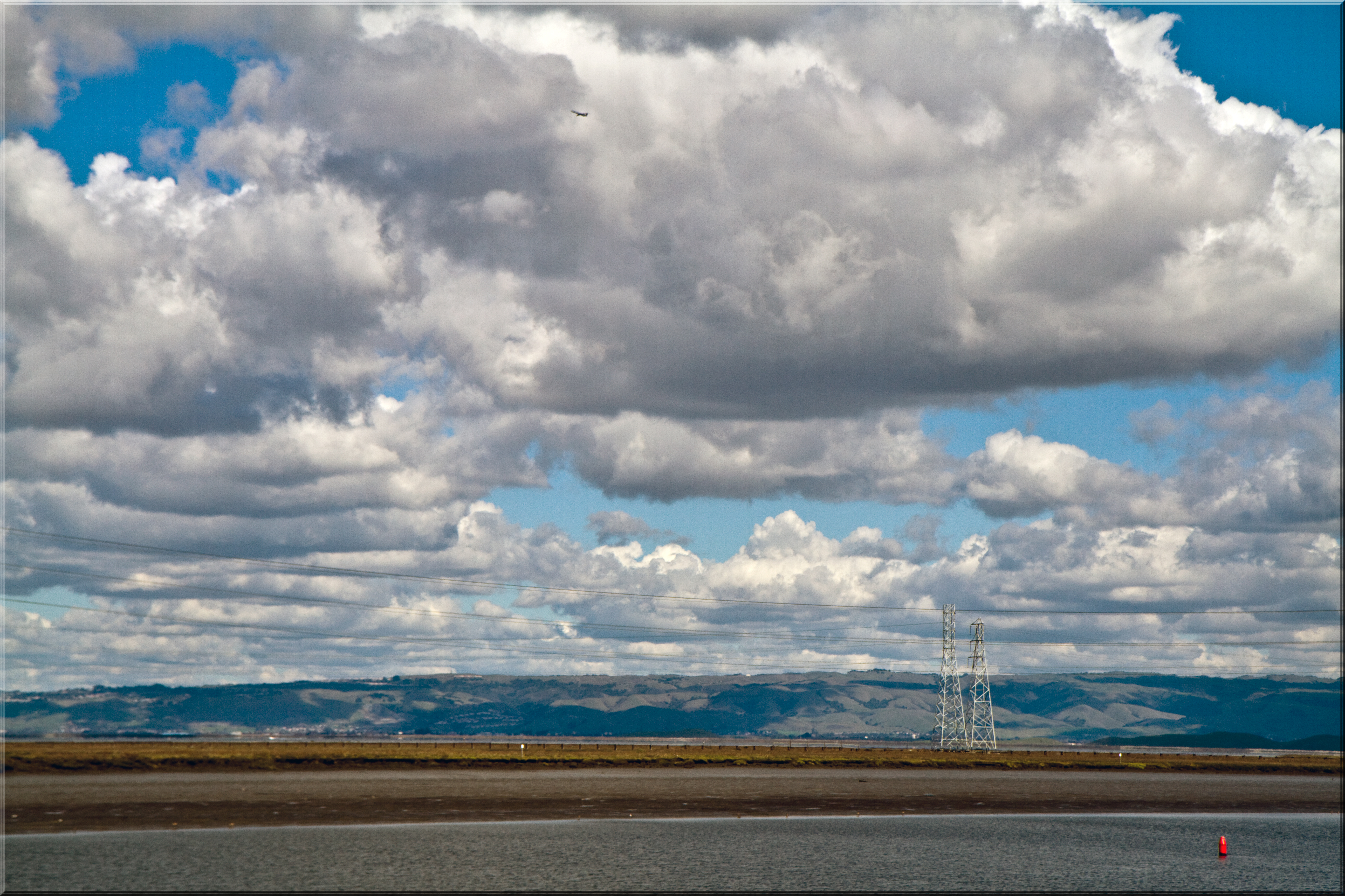
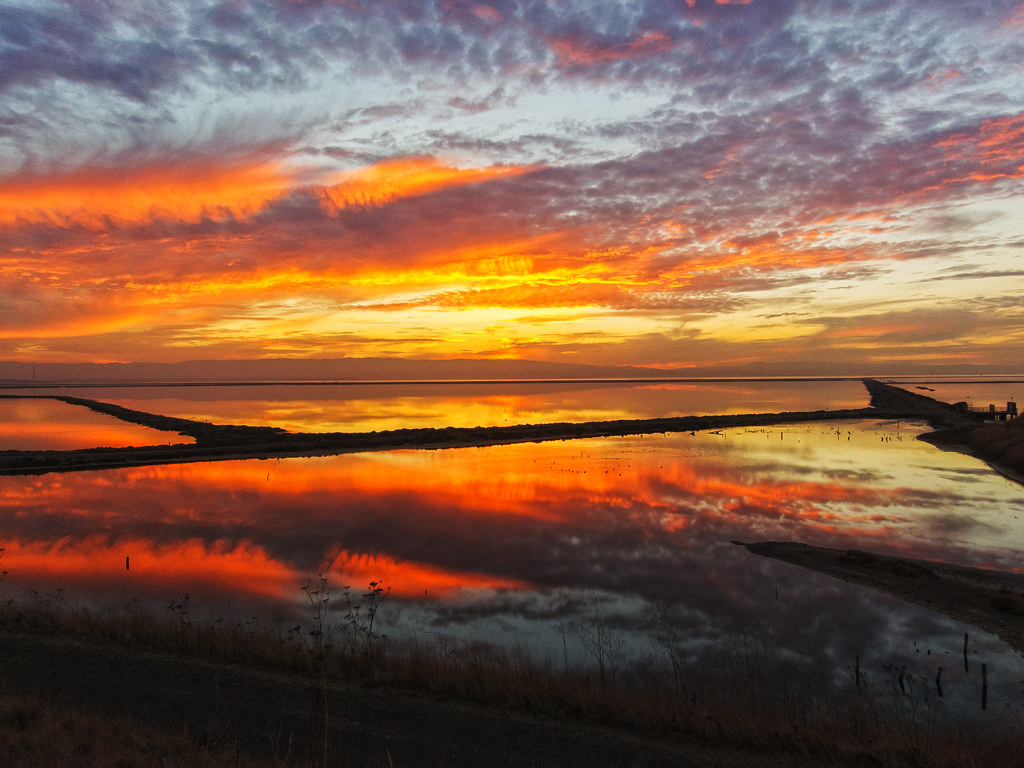
After the Storm
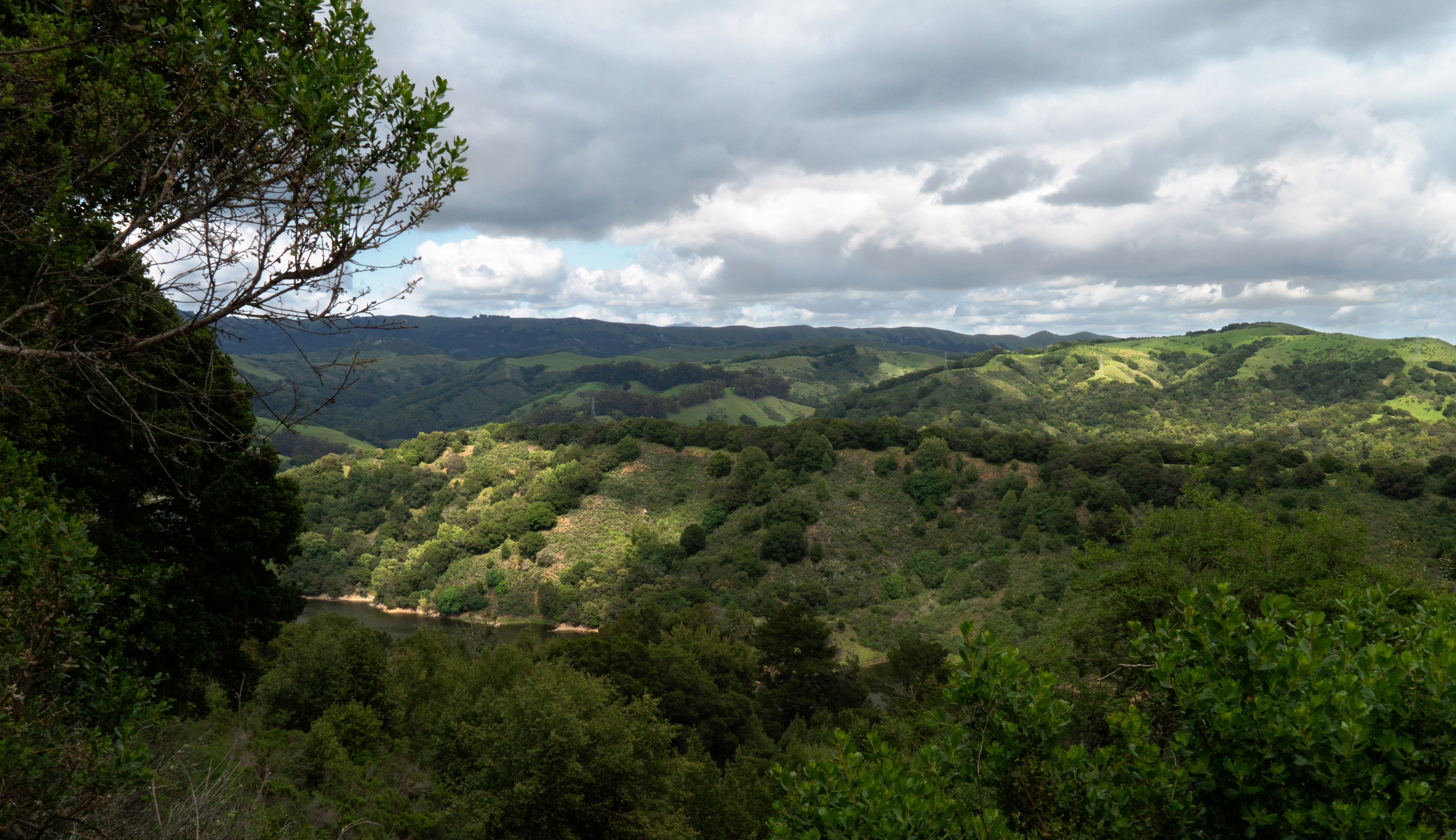
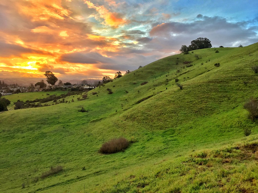
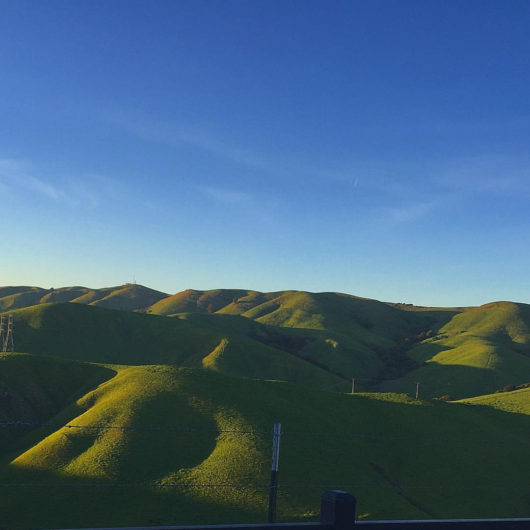
While the Hills are Green!
Oakland Tower

Moonset Over The Harbor
Feelin' Blue #7 - Sultry Skies

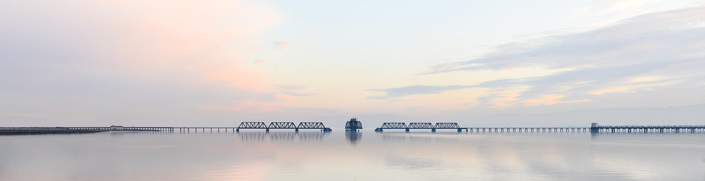
San Mateo, California: Bridge to Nowhere

Poised for takeoff

No Such Thing

#USAirways flight to #Charlotte, #NorthCarolina / #CLT / #CharlotteDouglasInternationalAirport

the beauty of decay

It Pays to be a 'Morning Person'

'out of nowhere'
The view from above.

I've been to

Giant lollipop
Lake Chabot
Lake Chabot
No Name Trail

Allen's Hummingbird
Garin 20150227

Mustard Flowers Field

"There's more beauty in truth, even if it is dreadful beauty." John Steinbeck, East of Eden
Capturing light.
Lake Chabot

Five Canyons Park 20170218
rain and sun alternating

Feel like reborn
DreamLand, Coyote Hills

Mustard Flower

Day 37/90

Tree in Yellow Field
Cotoye Hills Regional Park 11.jpg
Something about these hills...remind me of Shrek.

Mustard field

Marsh Wren
Topographic Map of Corporate Ave, Hayward, CA, USA
Find elevation by address:

Places near Corporate Ave, Hayward, CA, USA:
Arden Road
3410 Arden Rd
Eden Landing Road
2671 Darwin St
Leeward Street
2383 Cryer St
Mount Eden
Hesperian Boulevard
Glen Eden
1764 National Ave
2446 Bourbon Dr
24763 Kay Ave
26507 Flamingo Ave
West Jackson Street
1964 Elder Way
22638 Teakwood St
1819 Florida St
26608 Underwood Ave
The Timbers Apartments
Longwood - Winton Grove
Recent Searches:
- Elevation of Corso Fratelli Cairoli, 35, Macerata MC, Italy
- Elevation of Tallevast Rd, Sarasota, FL, USA
- Elevation of 4th St E, Sonoma, CA, USA
- Elevation of Black Hollow Rd, Pennsdale, PA, USA
- Elevation of Oakland Ave, Williamsport, PA, USA
- Elevation of Pedrógão Grande, Portugal
- Elevation of Klee Dr, Martinsburg, WV, USA
- Elevation of Via Roma, Pieranica CR, Italy
- Elevation of Tavkvetili Mountain, Georgia
- Elevation of Hartfords Bluff Cir, Mt Pleasant, SC, USA