Elevation of Coronado Dr, Redlands, CA, USA
Location: United States > California > San Bernardino County > Redlands > Riverside-san Bernardino-ontario, Ca > South Redlands >
Longitude: -117.16616
Latitude: 34.0493254
Elevation: 455m / 1493feet
Barometric Pressure: 96KPa
Elevation Map:
Satellite Map:
Related Photos:

Queen's Fine Food
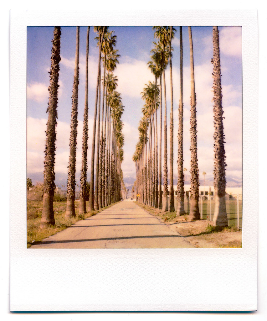
palm trees. north redlands, ca. 2011.
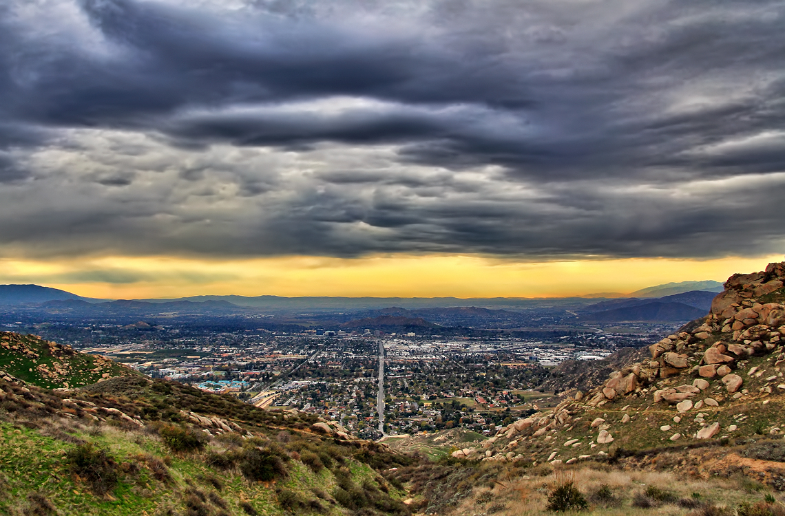
Storm over the Inland Empire
Redlands, CA

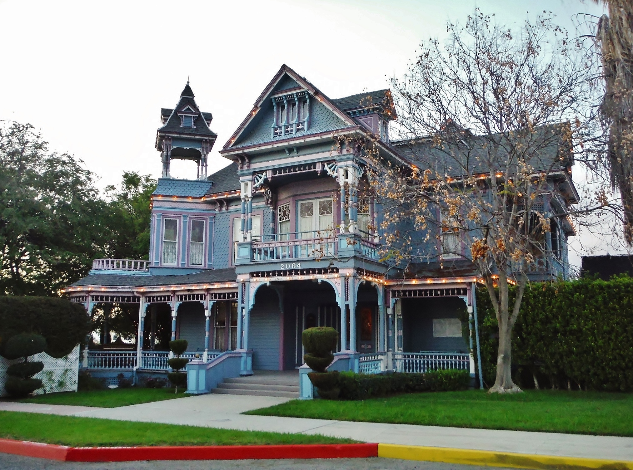
Not Too Shabby
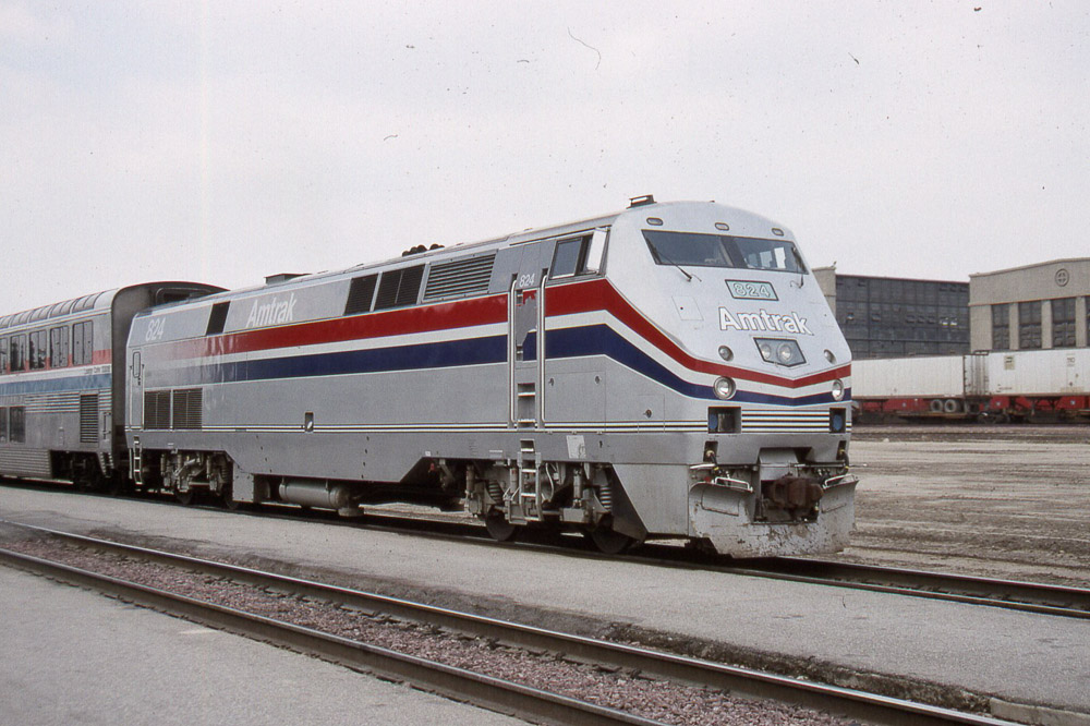
Amtrak AMD103 #824 at the San Bernadino CA depot on 4/28/94

little people in the nexus

Metrolink, San Bernardino

The Storms of Late Summer

Gray Flycatcher

Arched Doorway, Redlands Alleys 10-27-13s
Standing in the Shadows

Coming Off the Short Way

Sunset Valley I

SD Trucks In The Shops Over The Pit
Not So Beautiful Boosters

Spring Valley

UP 1943 East @ Rana

Better Blue Than Yellow Bonnet

Day 347/365: I know I'm going where the sun always shines (explored #328 on June 8, 2009)

San Bernardino Valley

Mill Creek Canyon

Snaking Up Beaumont

Beaumont, California

San Gabriel Mountains over Inland Empire, CA 2016 (In EXPLORE)

Metrolink San Bernardino Downtown Station

Lumonitious Landscape

Palms, Oranges and San Gabriel Mountains, CA Christmas 2016

Clouds over the San Bernardino Valley

Spring Valley Gorge

New Season

Last Drop
San Bernardino Mountains, Christmas 2016

Clouds over Moreno Valley

Fireside, the Burning

Coming in Hard

The Storm Starts
Strada Rossa 2015???

Mount San Bernardino
Topographic Map of Coronado Dr, Redlands, CA, USA
Find elevation by address:

Places near Coronado Dr, Redlands, CA, USA:
1032 Dracena Ct
528 Hibiscus Dr
Cajon Street
110 Franklin Ave
South Redlands
242 Cajon St
434 Grant St
302 S Eureka St
1316 Knoll Rd
1408 Elizabeth Crest Dr
Redlands
Pacific Street
521 Bond St
1356 La Loma Dr
1228 Monterey St
Sunset Drive
West Crescent Avenue
55 N Buena Vista St
Smiley Heights
325 Lakeside Ave
Recent Searches:
- Elevation of Corso Fratelli Cairoli, 35, Macerata MC, Italy
- Elevation of Tallevast Rd, Sarasota, FL, USA
- Elevation of 4th St E, Sonoma, CA, USA
- Elevation of Black Hollow Rd, Pennsdale, PA, USA
- Elevation of Oakland Ave, Williamsport, PA, USA
- Elevation of Pedrógão Grande, Portugal
- Elevation of Klee Dr, Martinsburg, WV, USA
- Elevation of Via Roma, Pieranica CR, Italy
- Elevation of Tavkvetili Mountain, Georgia
- Elevation of Hartfords Bluff Cir, Mt Pleasant, SC, USA