Elevation of Conchas Dam, Conchas, NM, USA
Location: United States > New Mexico > San Miguel County >
Longitude: -104.18997
Latitude: 35.4028261
Elevation: 1281m / 4203feet
Barometric Pressure: 87KPa
Elevation Map:
Satellite Map:
Related Photos:
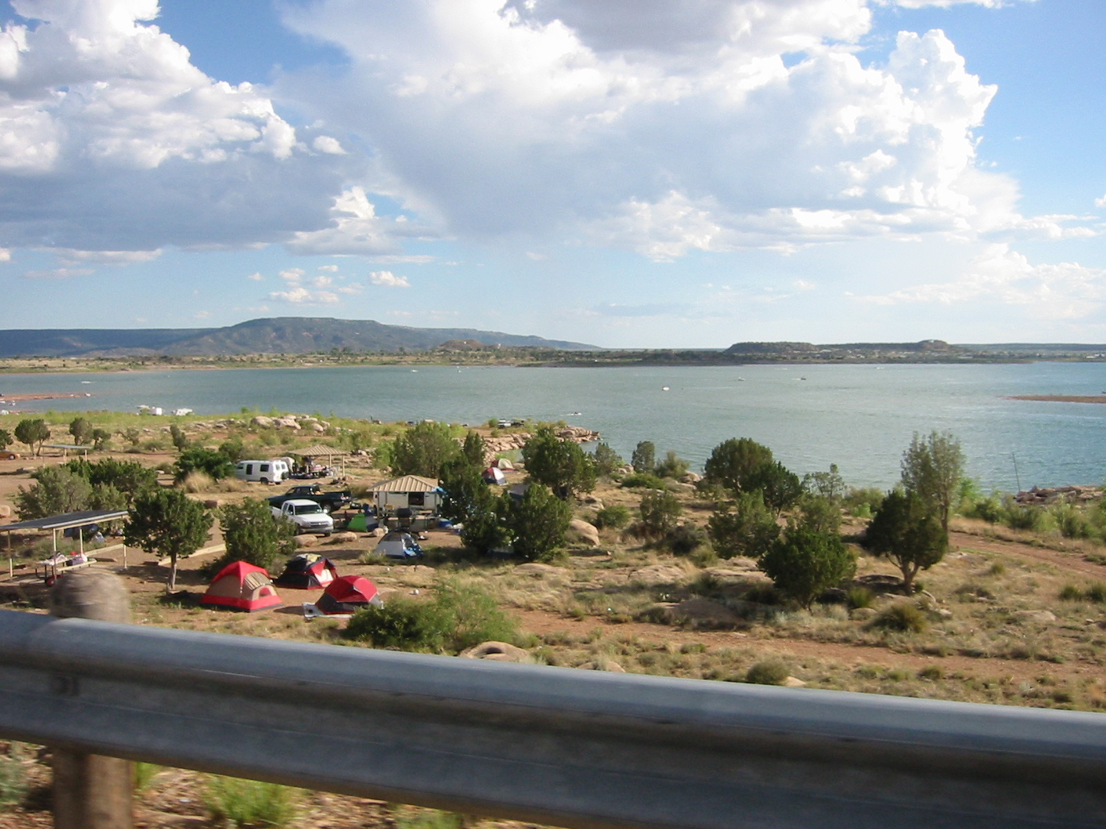
Conchas, NM
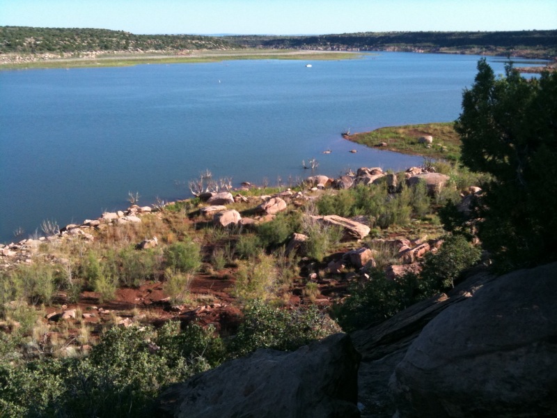
View from our campsite

7/3/11 - 56/365

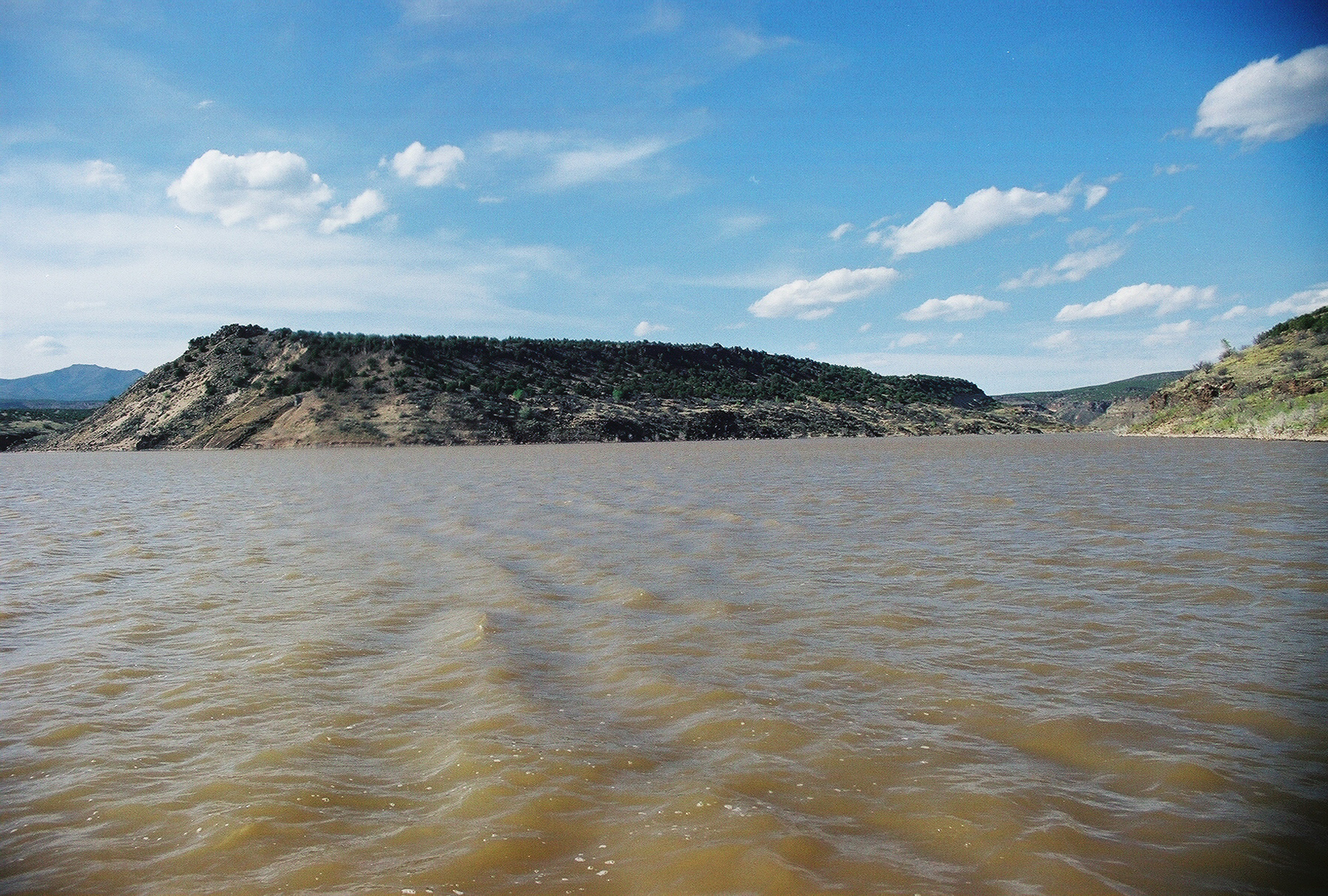
Storm in New Mexico
1999MY_2-0002 copy

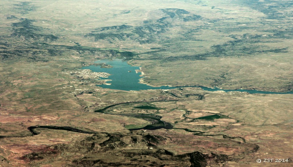
Lake Conchas

My Aero at Conchas Lake
IMG_5641.jpg

IMG_5643.jpg

Pectoral Sandpiper
Topographic Map of Conchas Dam, Conchas, NM, USA
Find elevation by address:

Places near Conchas Dam, Conchas, NM, USA:
Hooverville
Bell Ranch
3046 Nm-104
NM-, Las Vegas, NM, USA
Roy
Montosa
San Miguel County
County Rd 4 KJ, La Loma, NM, USA
La Loma
Fort Union Ranch
Anton Chico
County Rd B45C, Anton Chico, NM, USA
Las Vegas Municipal Airport
Apache Mesa Road
N Grand Ave, Las Vegas, NM, USA
Springer
600 Grand Ave
104 Legion Dr
931 Jackson St
Las Vegas Nm
Recent Searches:
- Elevation of Corso Fratelli Cairoli, 35, Macerata MC, Italy
- Elevation of Tallevast Rd, Sarasota, FL, USA
- Elevation of 4th St E, Sonoma, CA, USA
- Elevation of Black Hollow Rd, Pennsdale, PA, USA
- Elevation of Oakland Ave, Williamsport, PA, USA
- Elevation of Pedrógão Grande, Portugal
- Elevation of Klee Dr, Martinsburg, WV, USA
- Elevation of Via Roma, Pieranica CR, Italy
- Elevation of Tavkvetili Mountain, Georgia
- Elevation of Hartfords Bluff Cir, Mt Pleasant, SC, USA