Elevation of County Rd B45C, Anton Chico, NM, USA
Location: United States > New Mexico > San Miguel County > Anton Chico >
Longitude: -105.16000
Latitude: 35.2347965
Elevation: 1622m / 5322feet
Barometric Pressure: 83KPa
Elevation Map:
Satellite Map:
Related Photos:
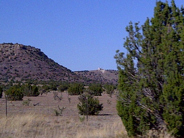
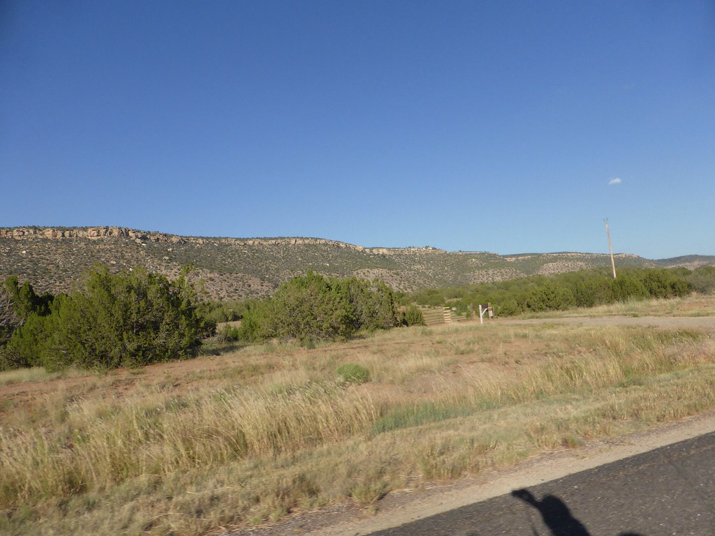
Villanueava State Park

NM Sheep
Villanueva State Park, New Mexico

IMG-20110925-00079
Villanuava 076.jpg
IMG-20110925-00080

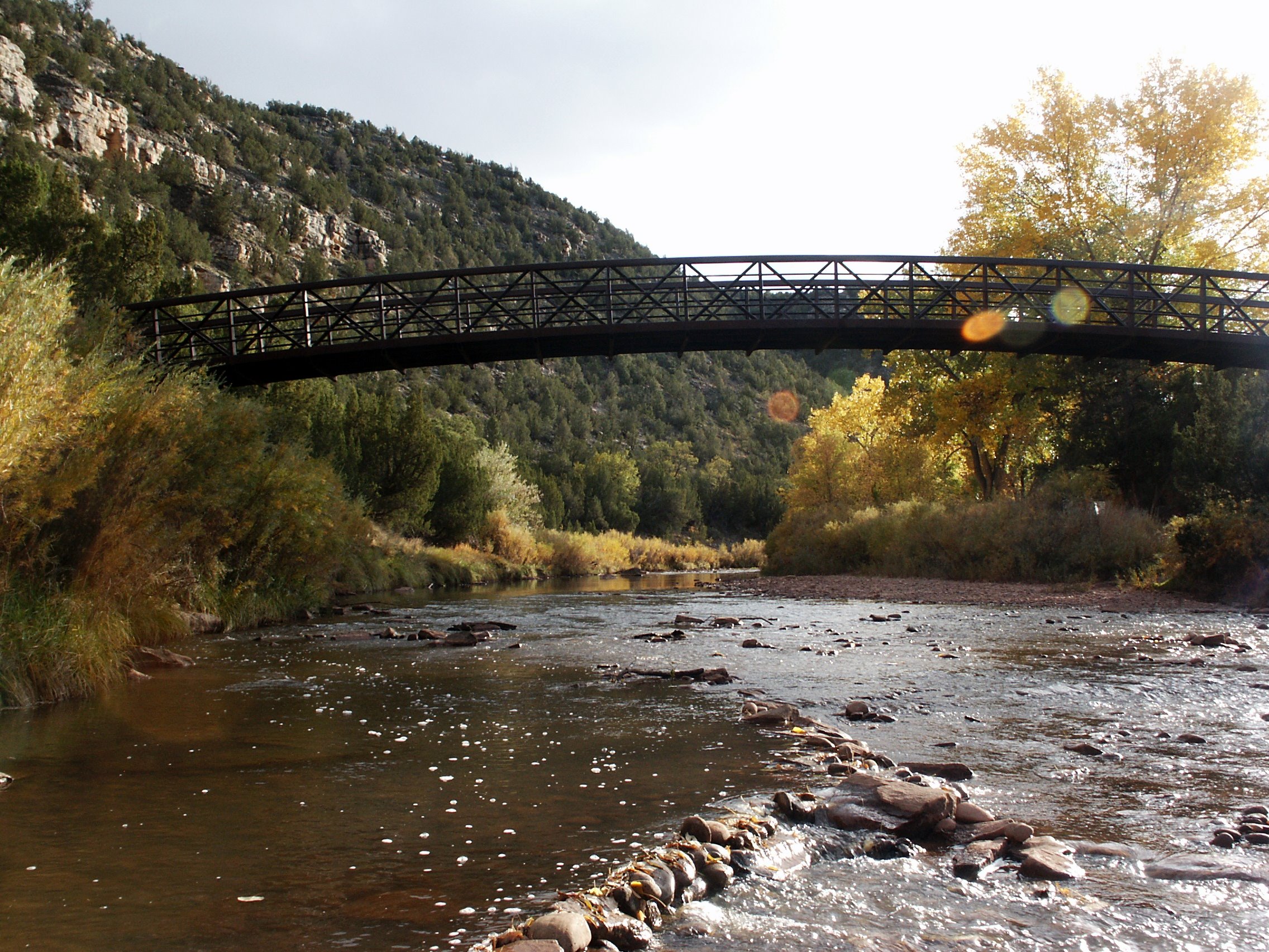
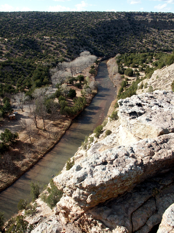
Reflections on the Pecos River NM
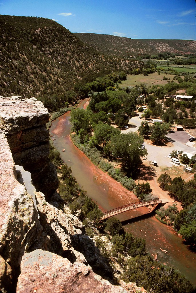
Pecos River - West
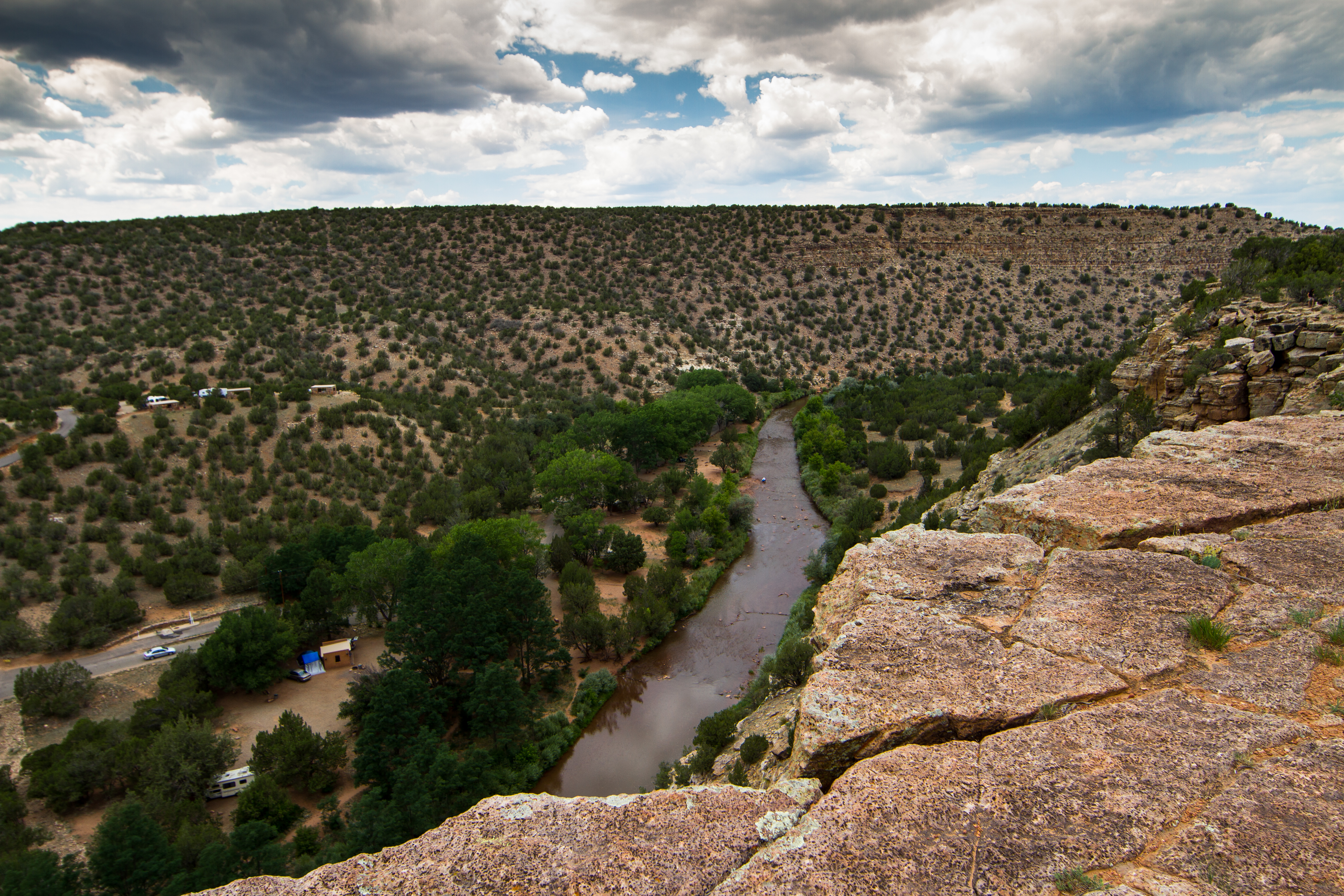
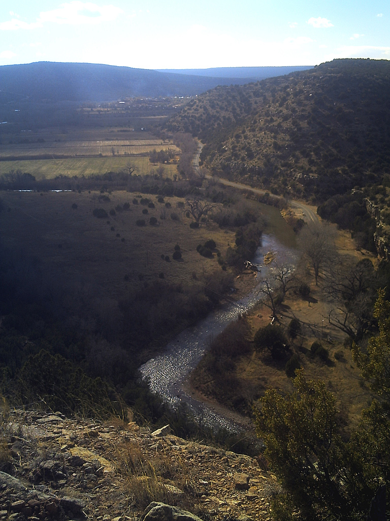
The Pecos River valley

IMG-20110925-00078
Dia 7/9
Topographic Map of County Rd B45C, Anton Chico, NM, USA
Find elevation by address:

Places near County Rd B45C, Anton Chico, NM, USA:
Anton Chico
La Loma
County Rd 4 KJ, La Loma, NM, USA
El Cerrito
Apache Mesa Road
Villanueva
14 County Rd B28A, Las Vegas, NM, USA
County Rd B26A, Serafina, NM, USA
758 Nm-3
22 Cristo Rey Rd, Las Vegas, NM, USA
NM-3, Ribera, NM, USA
224 Co Rd B41e
U.s. 84
Ribera
Camino Arbol
County Rd B41F, Ribera, NM, USA
Las Vegas Nm
12th St & Jackson St
12th St & Jackson St
12th St & Jackson St
Recent Searches:
- Elevation of Corso Fratelli Cairoli, 35, Macerata MC, Italy
- Elevation of Tallevast Rd, Sarasota, FL, USA
- Elevation of 4th St E, Sonoma, CA, USA
- Elevation of Black Hollow Rd, Pennsdale, PA, USA
- Elevation of Oakland Ave, Williamsport, PA, USA
- Elevation of Pedrógão Grande, Portugal
- Elevation of Klee Dr, Martinsburg, WV, USA
- Elevation of Via Roma, Pieranica CR, Italy
- Elevation of Tavkvetili Mountain, Georgia
- Elevation of Hartfords Bluff Cir, Mt Pleasant, SC, USA