Elevation of 14 County Rd B28A, Las Vegas, NM, USA
Location: United States > New Mexico > Las Vegas >
Longitude: -105.31710
Latitude: 35.3919677
Elevation: 1874m / 6148feet
Barometric Pressure: 81KPa
Elevation Map:
Satellite Map:
Related Photos:

Santo Nino de Atocha Chapel - La Manga, New Mexico
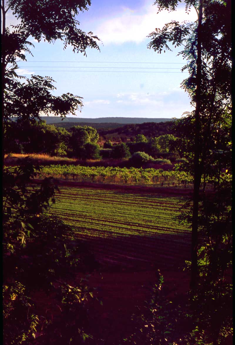
The Vineyard
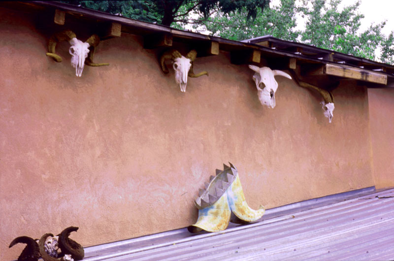
Courtyard View
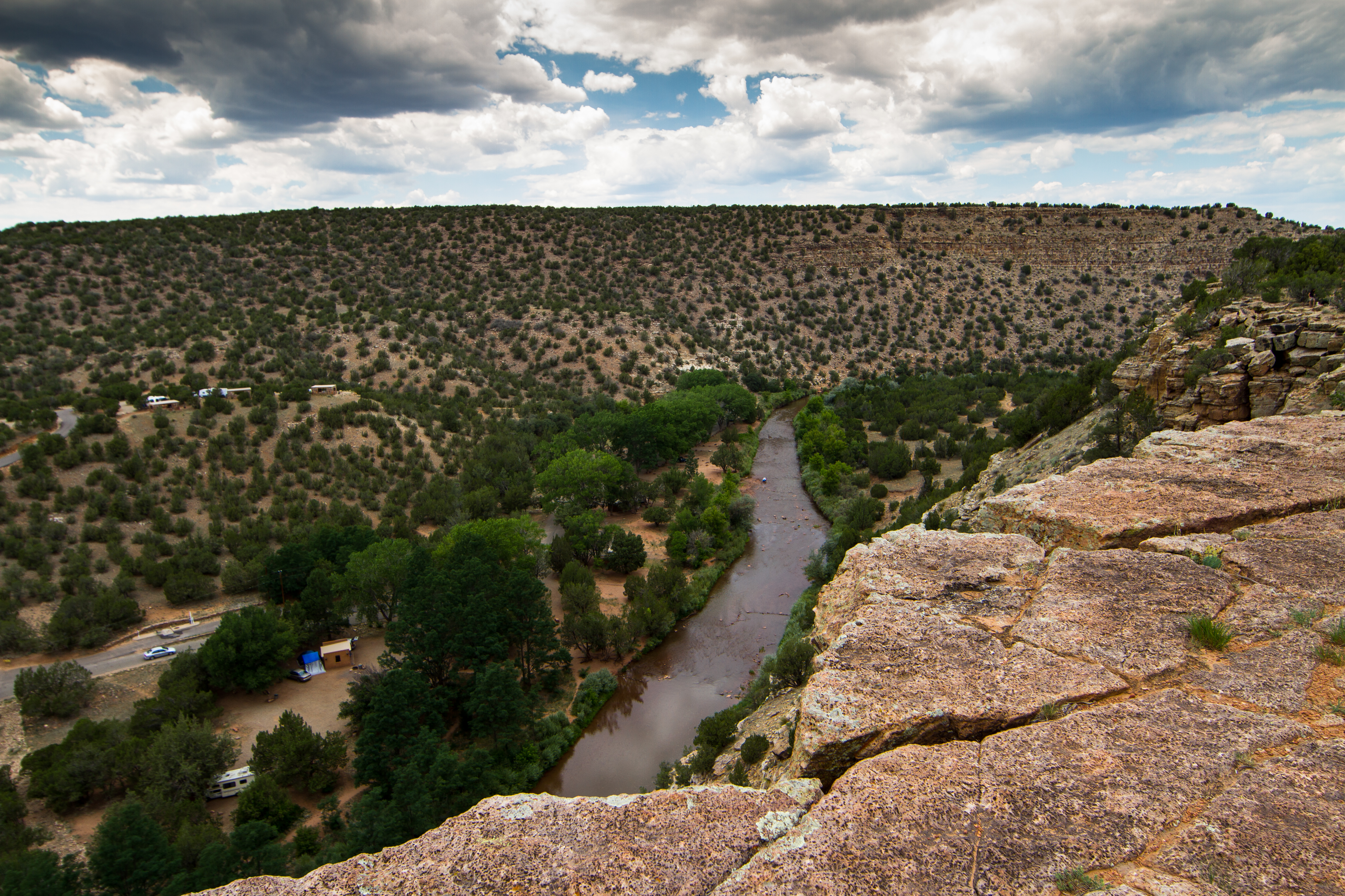
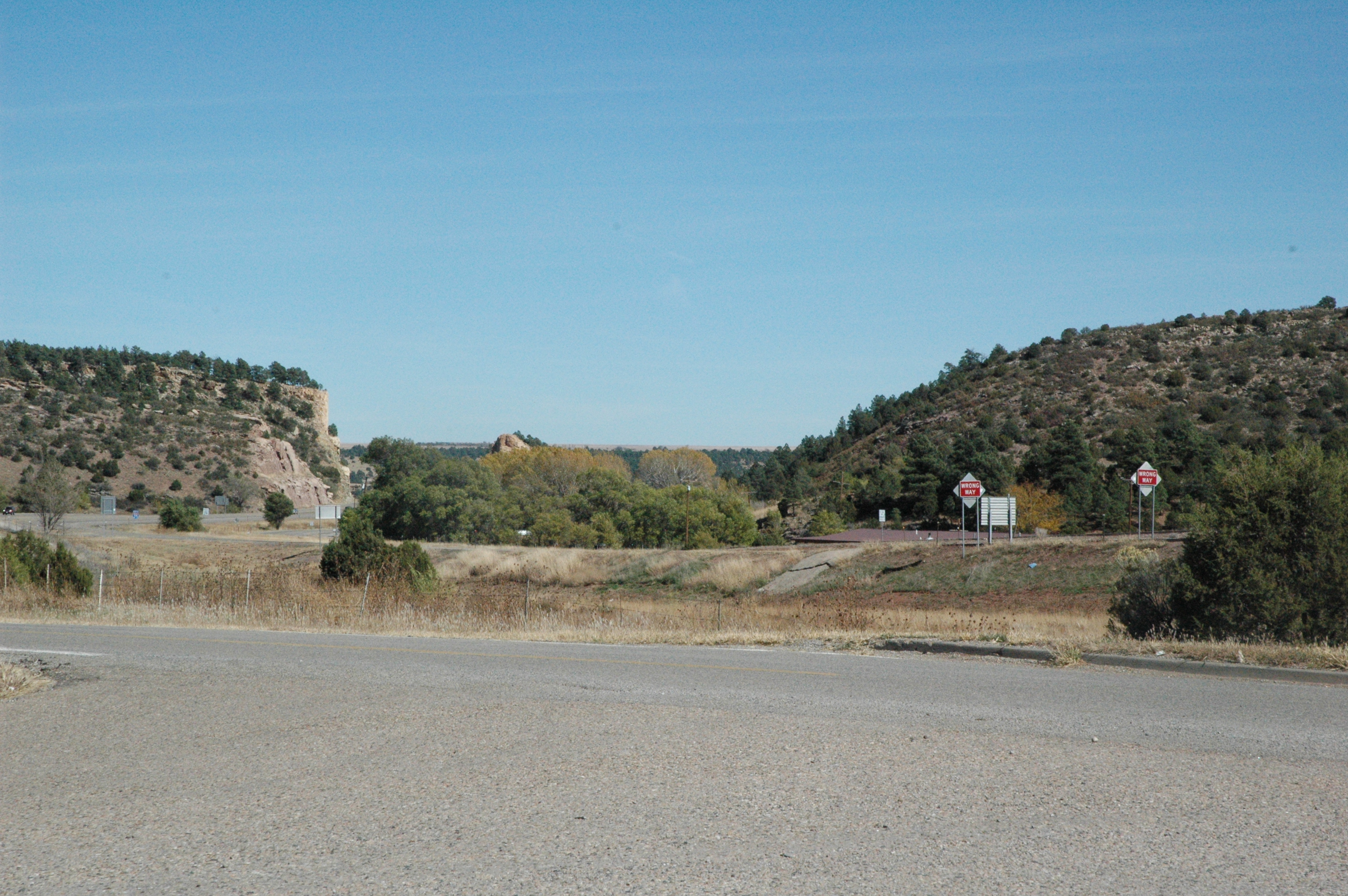
Villanueava State Park
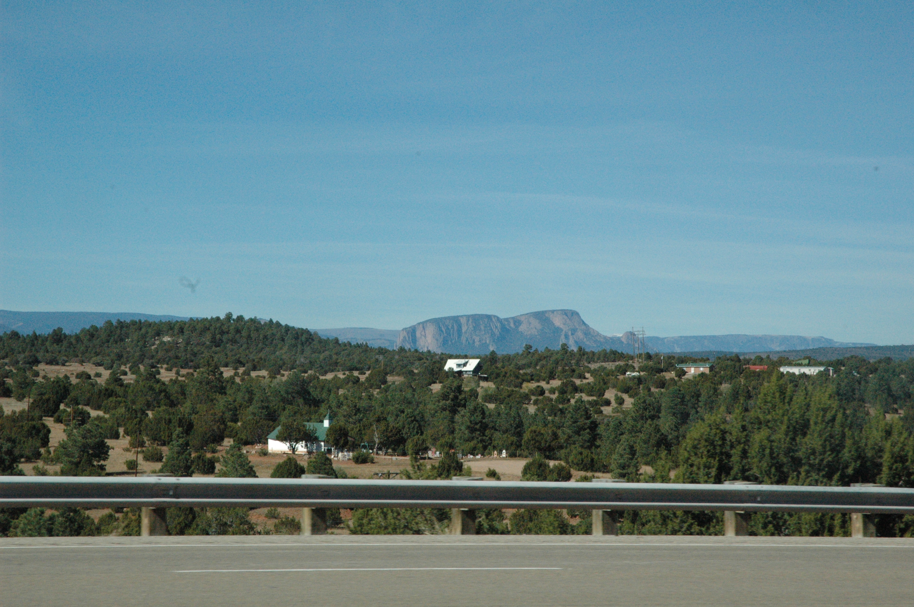
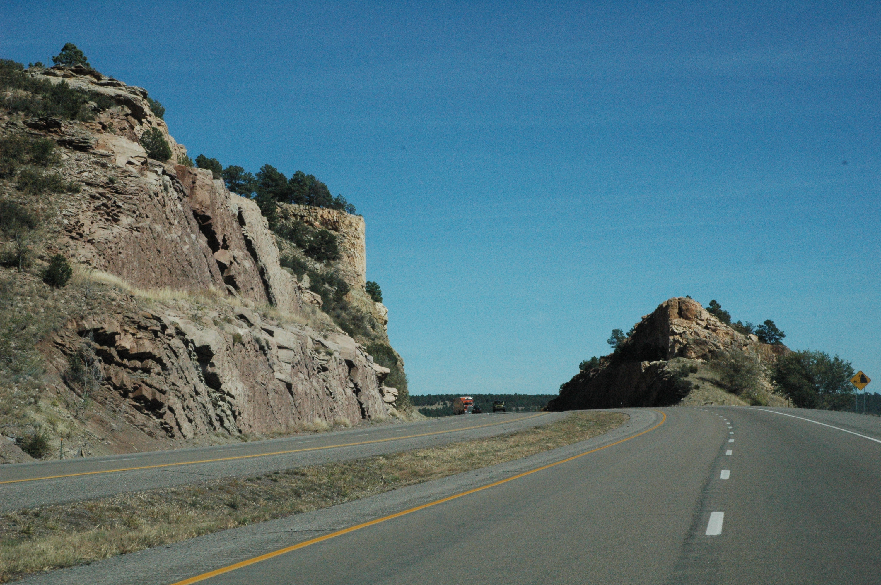
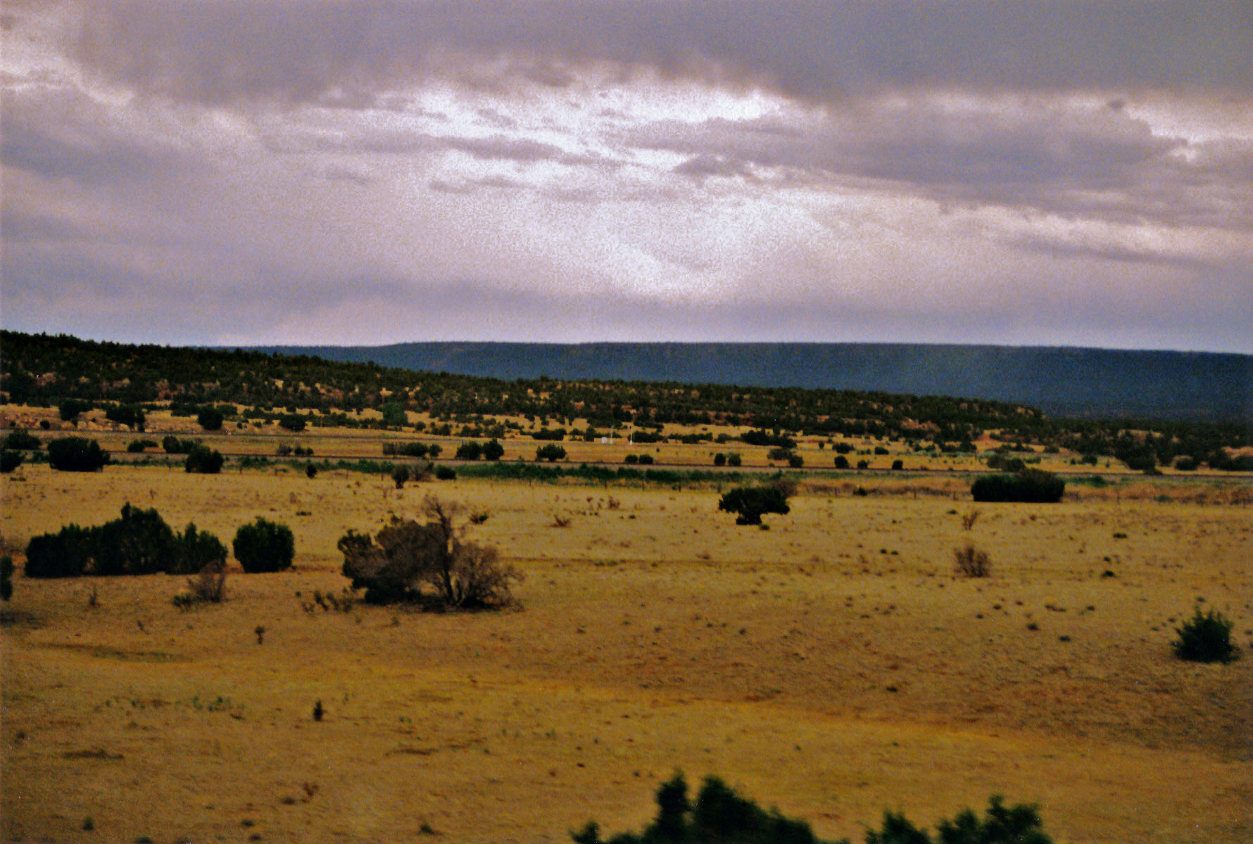
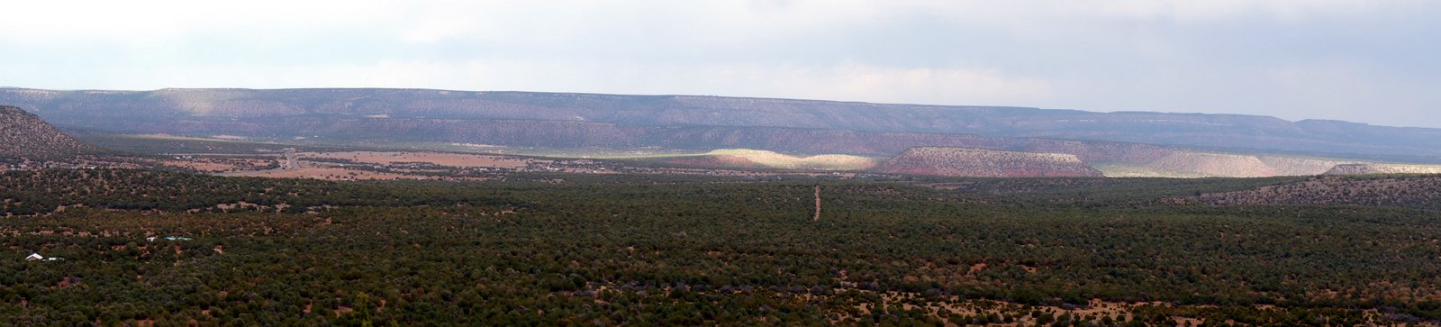
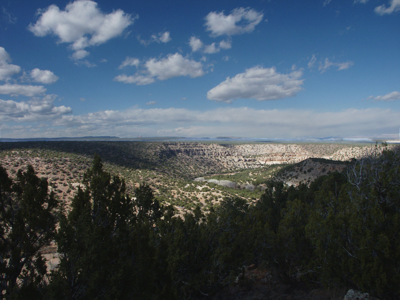
Views from Interstate 25 in northern New Mexico
Views from Interstate 25 in northern New Mexico

Views from Interstate 25 in northern New Mexico
Views from Interstate 25 in northern New Mexico
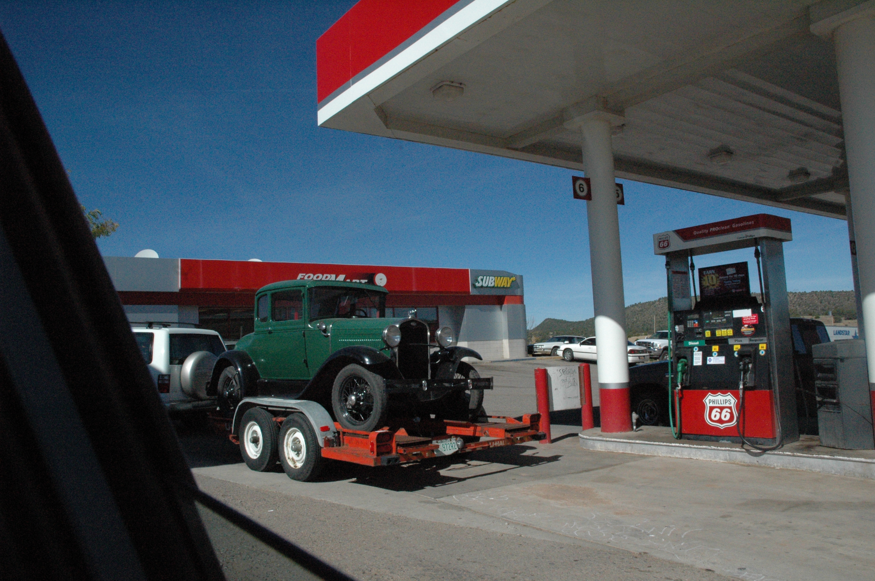
Old Ford on a trailer in northern New Mexico
Views from Interstate 25 in northern New Mexico
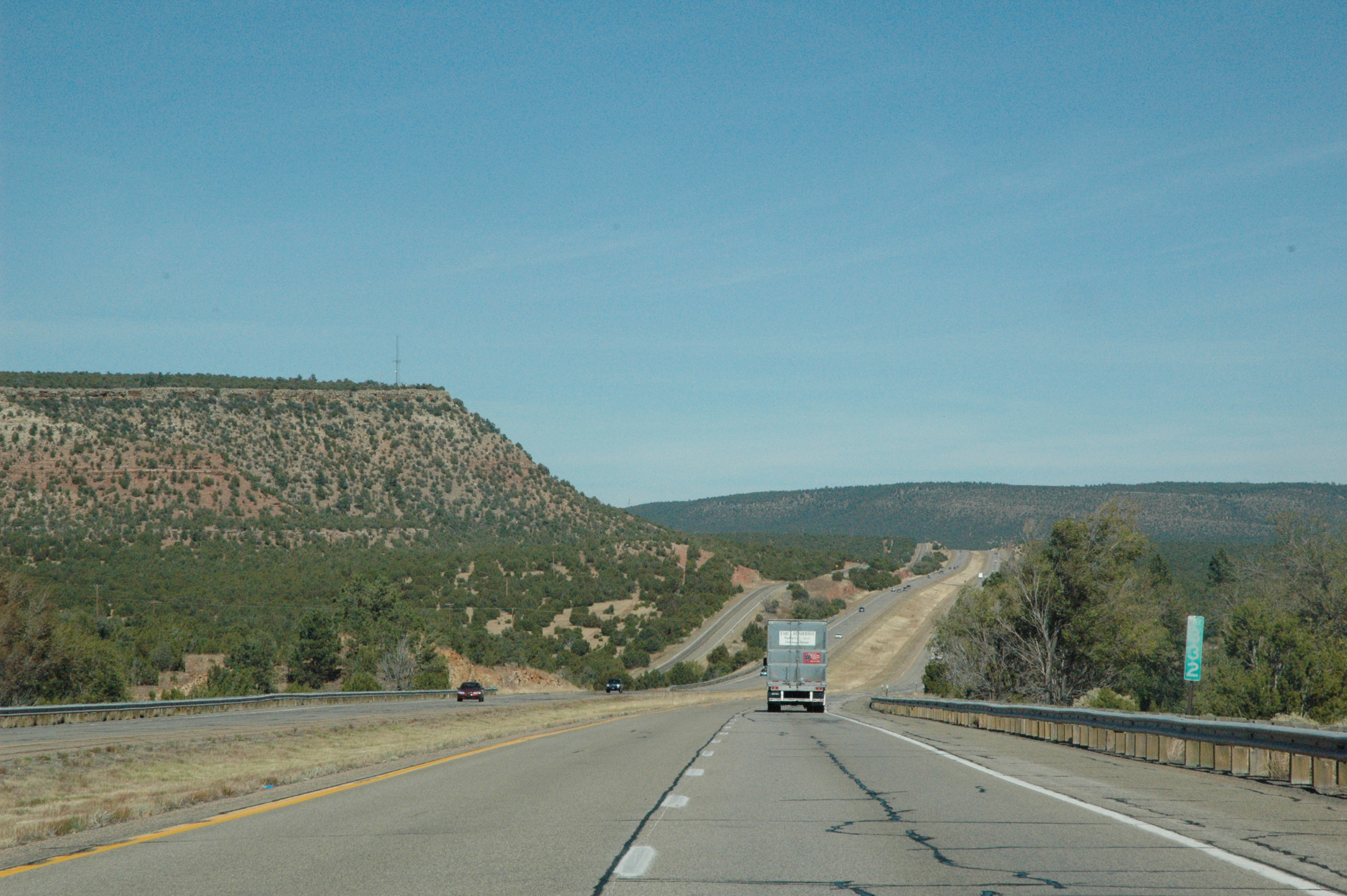
Views from Interstate 25 in northern New Mexico

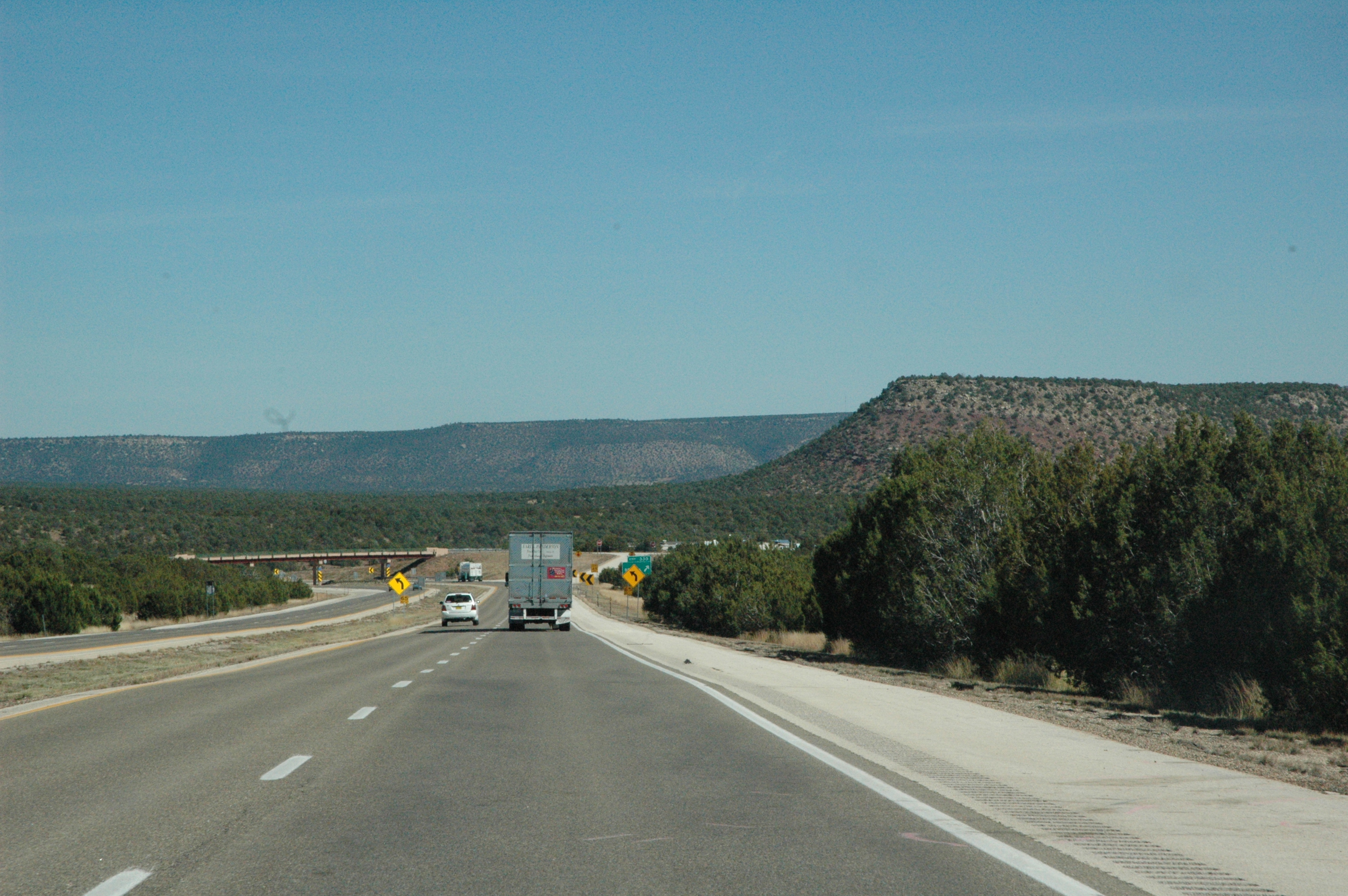
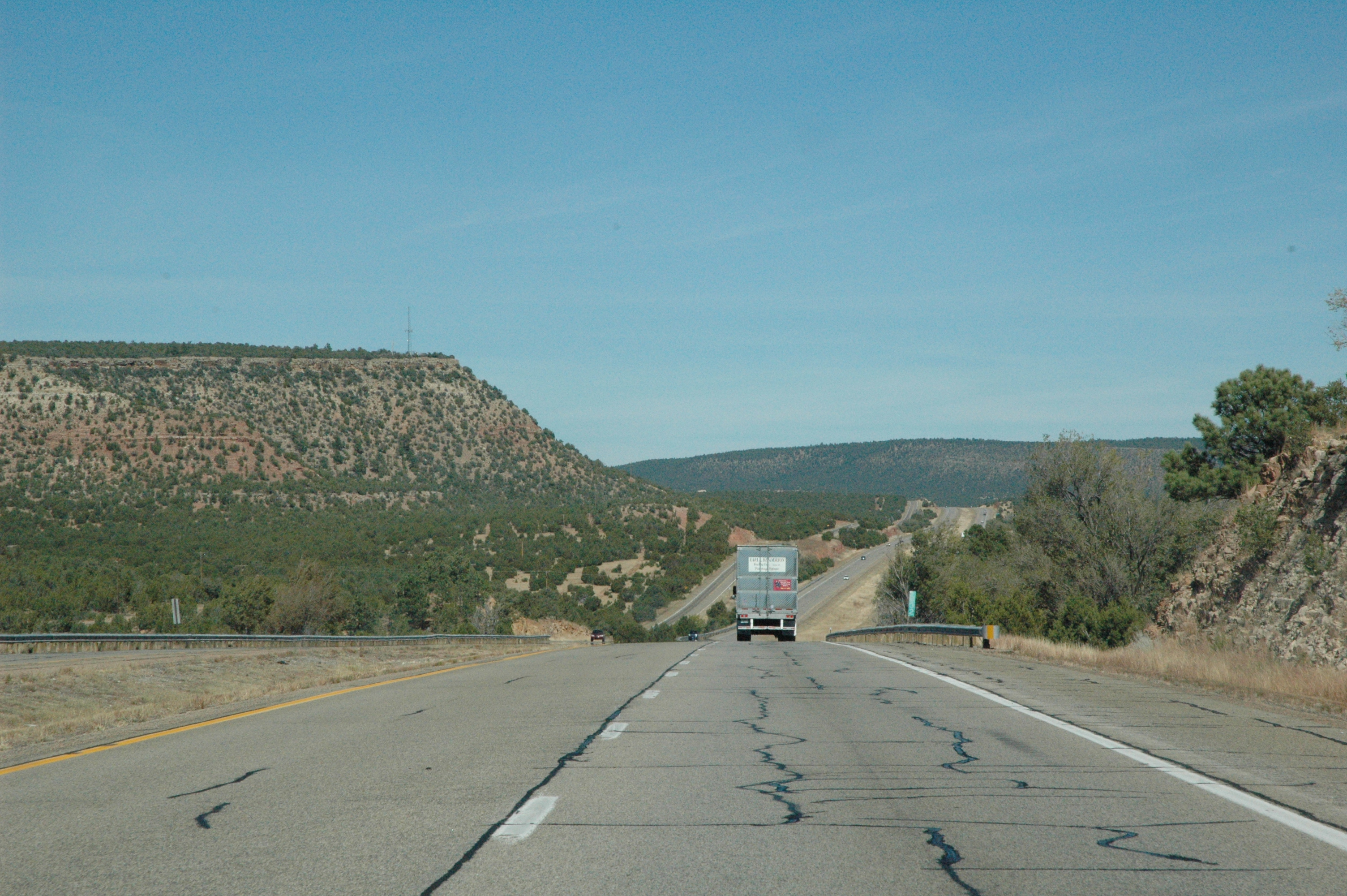
Interstate 25 from northern New Mexico
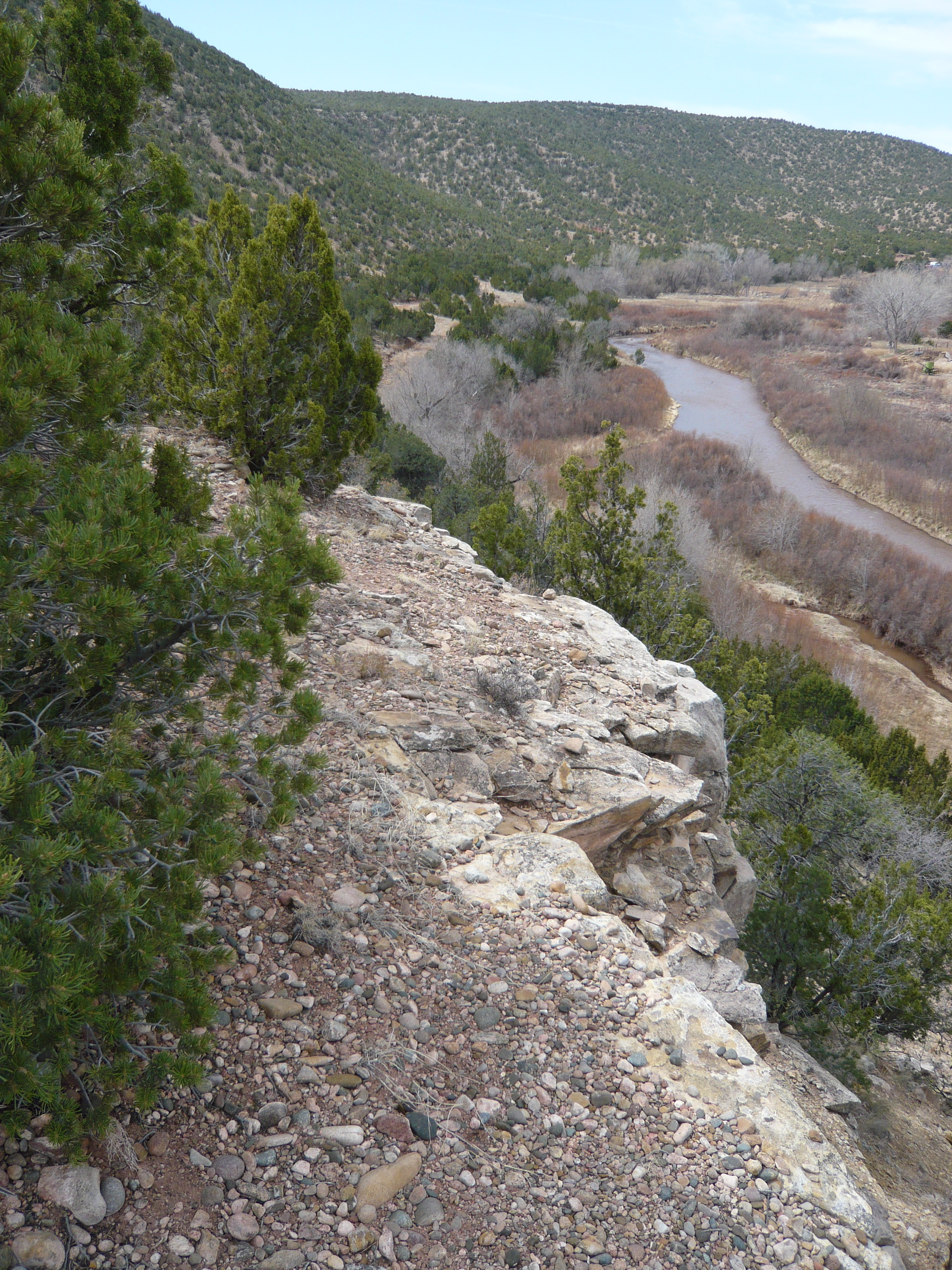
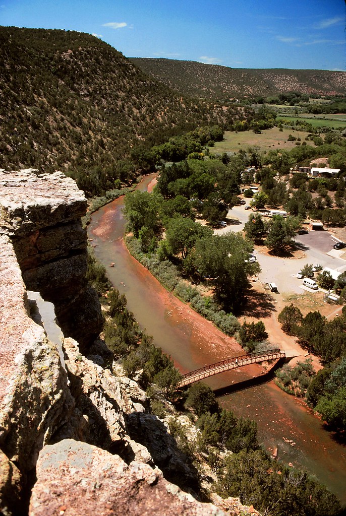
Pecos River from Rim Trail
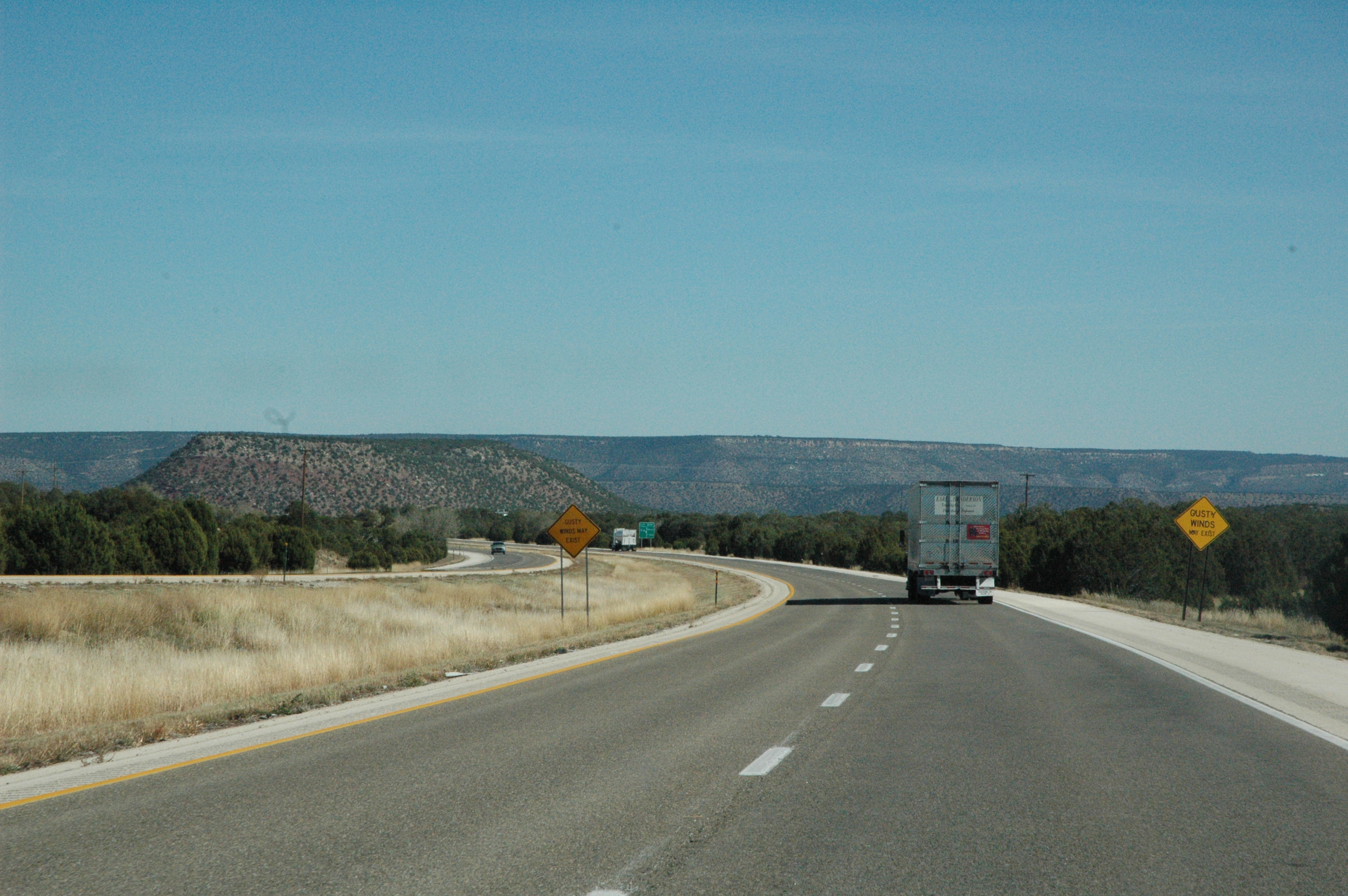
Views from Interstate 25 in northern New Mexico
Views from Interstate 25 in northern New Mexico

Interstate 25 from northern New Mexico
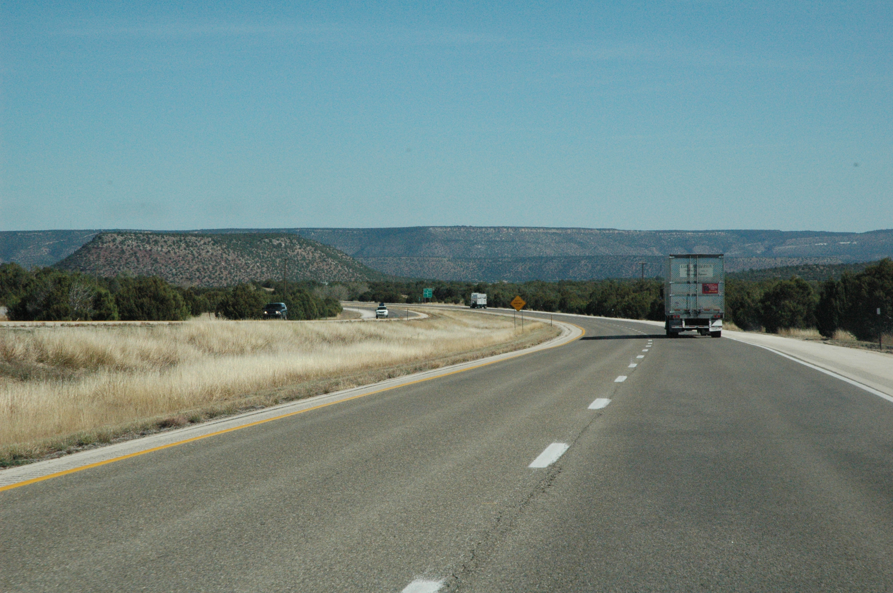
Views from Interstate 25 in northern New Mexico
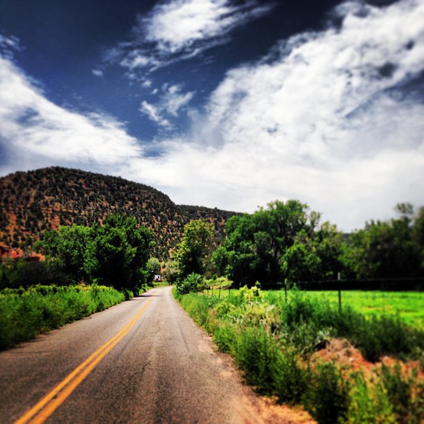
Beautiful drive through Villa Nueva yesterday. It's always a nice detour.
Train Ride
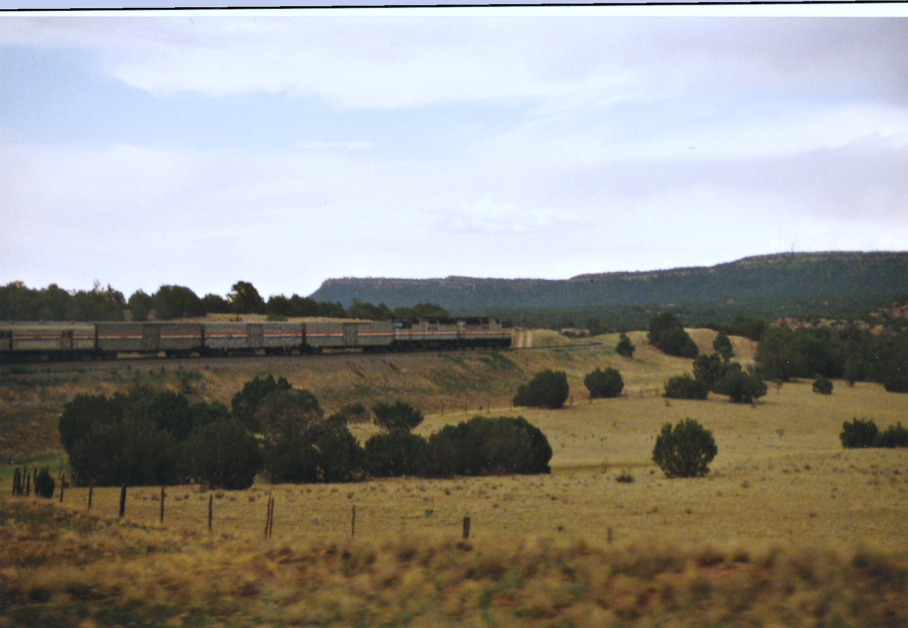
Southwest Chief Working Through New Mexico
Looking Back At The Tracks

Amtrak 207, Tecolote, NM
New Mexico on the Fly

Nr Las Vegas, New Mexico.
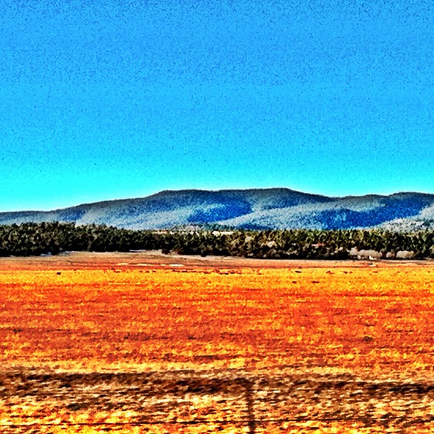
New Mexico Colors #newmexico #i25
Villanueva State Park, New Mexico
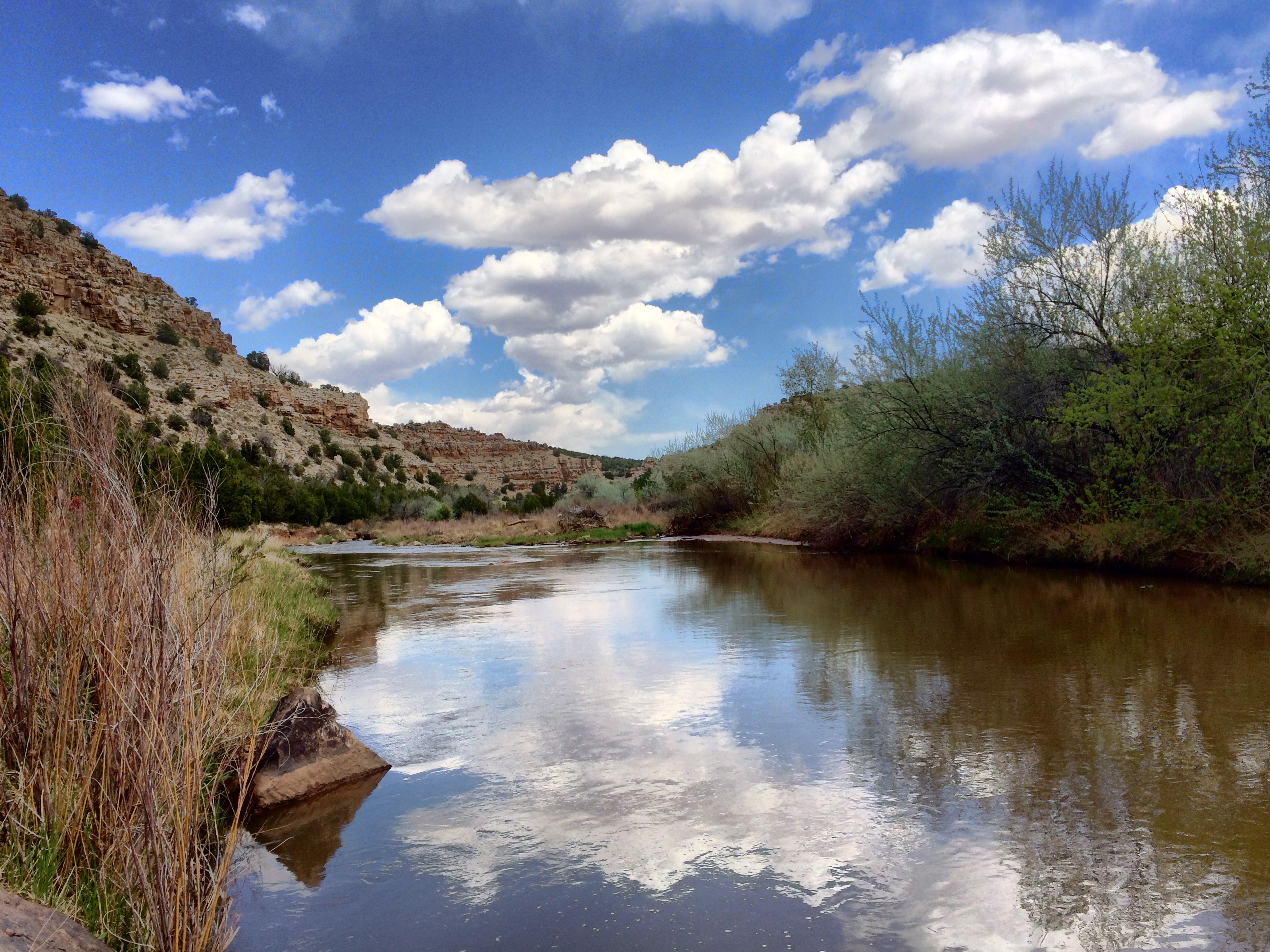
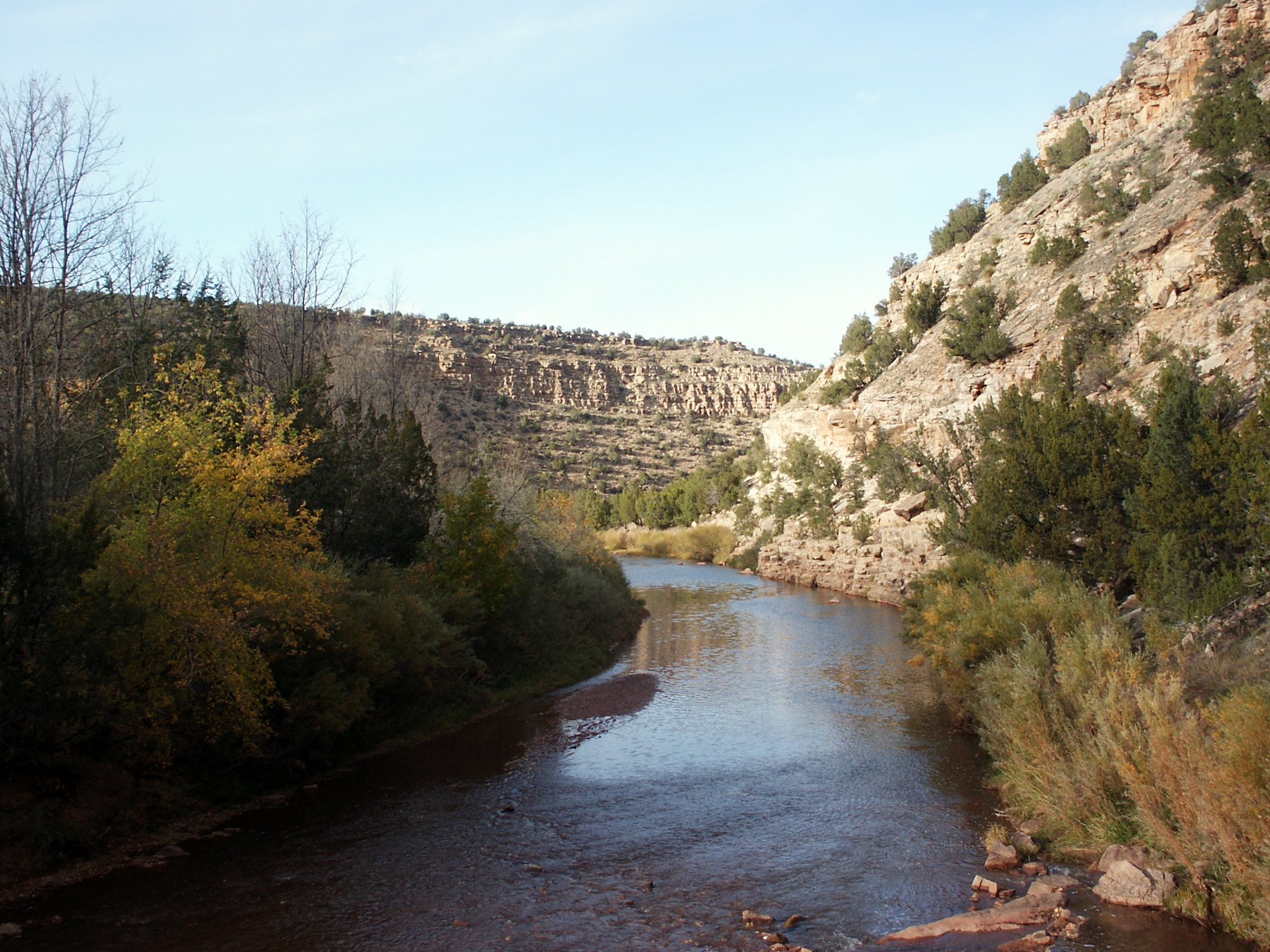
Reflections on the Pecos River NM
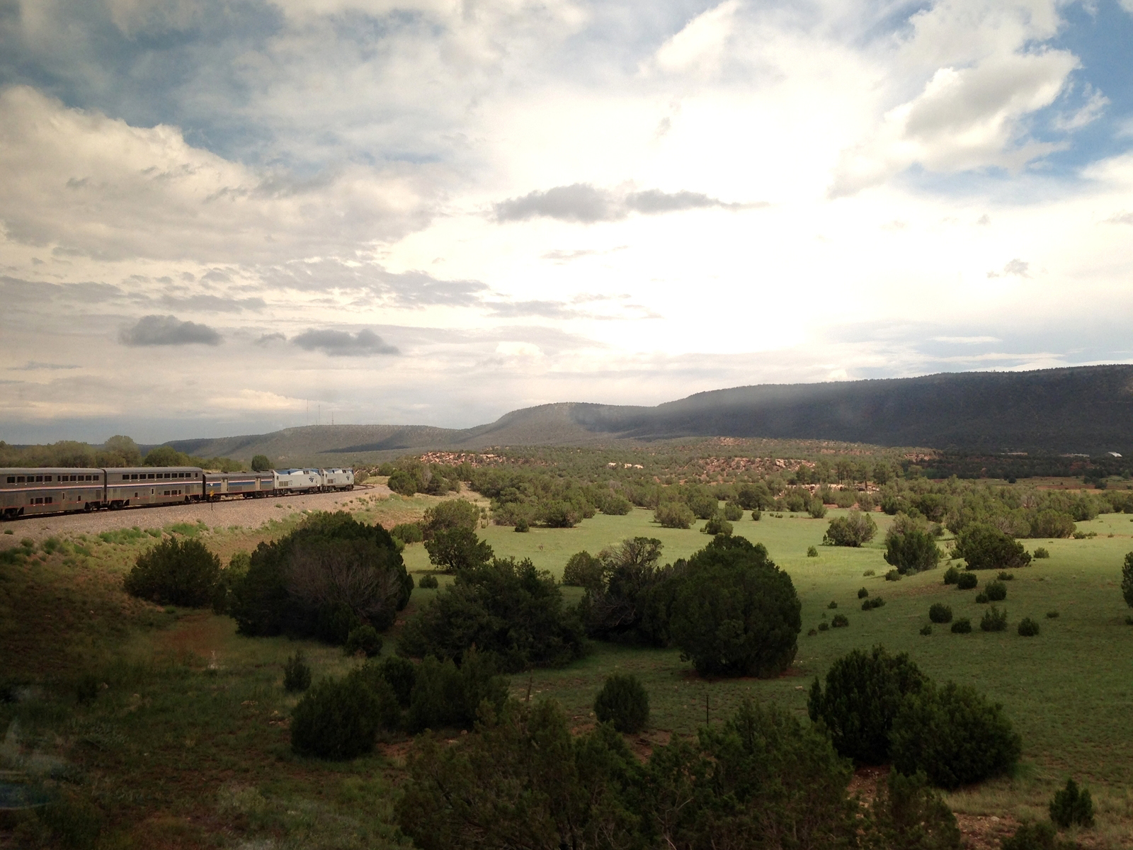
The Southwest Chief
Villanuava 074.jpg
1-DSC02796
South-West

AMTK 41 East, Ojita, NM
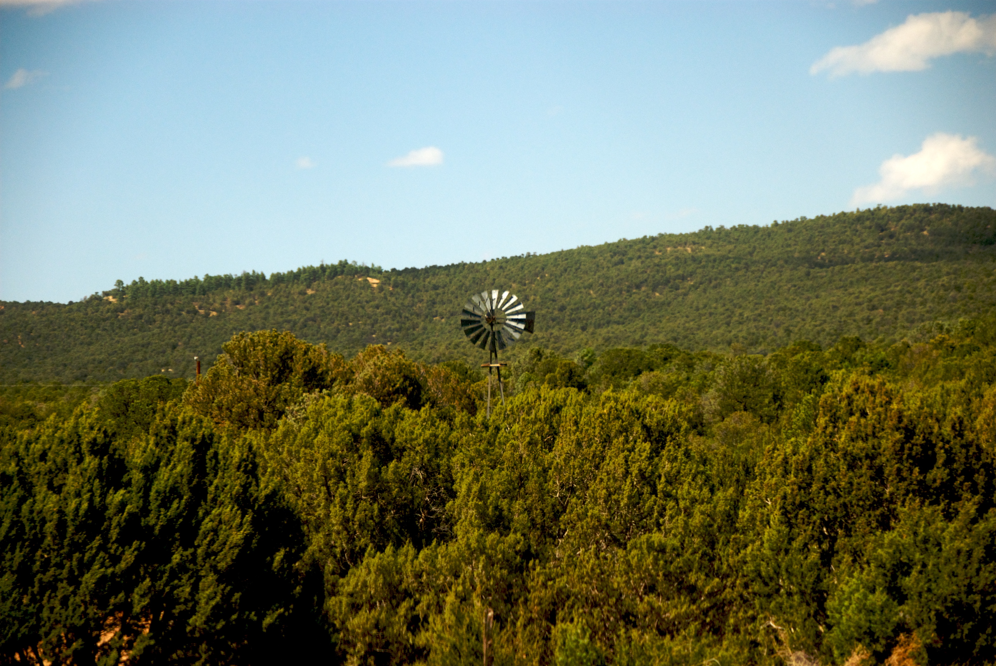
Windmill And Trees
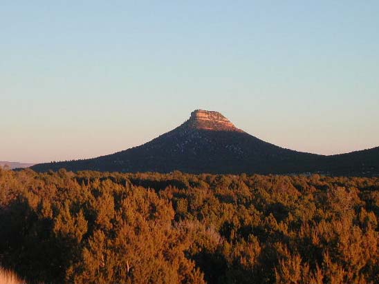
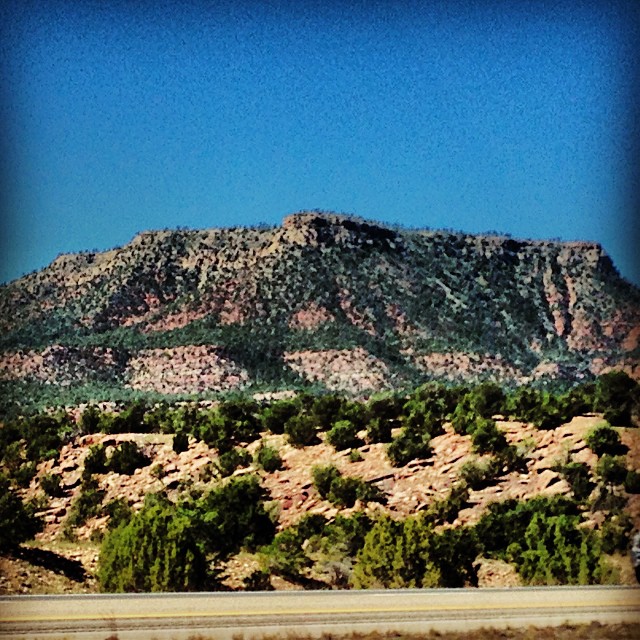
Starvation Peak

Villanueva, NM
Topographic Map of 14 County Rd B28A, Las Vegas, NM, USA
Find elevation by address:

Places near 14 County Rd B28A, Las Vegas, NM, USA:
County Rd B26A, Serafina, NM, USA
22 Cristo Rey Rd, Las Vegas, NM, USA
El Cerrito
758 Nm-3
224 Co Rd B41e
NM-3, Ribera, NM, USA
Camino Arbol
Ribera
Villanueva
Apache Mesa Road
County Rd B41F, Ribera, NM, USA
U.s. 84
Las Vegas Nm
San Geronimo Cabo Lucero Fire Department
12th St & Jackson St
12th St & Jackson St
12th St & Jackson St
2213 Hot Springs Blvd
2213 Hot Springs Blvd
407 11th St
Recent Searches:
- Elevation of Corso Fratelli Cairoli, 35, Macerata MC, Italy
- Elevation of Tallevast Rd, Sarasota, FL, USA
- Elevation of 4th St E, Sonoma, CA, USA
- Elevation of Black Hollow Rd, Pennsdale, PA, USA
- Elevation of Oakland Ave, Williamsport, PA, USA
- Elevation of Pedrógão Grande, Portugal
- Elevation of Klee Dr, Martinsburg, WV, USA
- Elevation of Via Roma, Pieranica CR, Italy
- Elevation of Tavkvetili Mountain, Georgia
- Elevation of Hartfords Bluff Cir, Mt Pleasant, SC, USA