Elevation of Montosa, NM, USA
Location: United States > New Mexico > Las Vegas >
Longitude: -104.77832
Latitude: 35.3722702
Elevation: 1573m / 5161feet
Barometric Pressure: 84KPa
Elevation Map:
Satellite Map:
Related Photos:
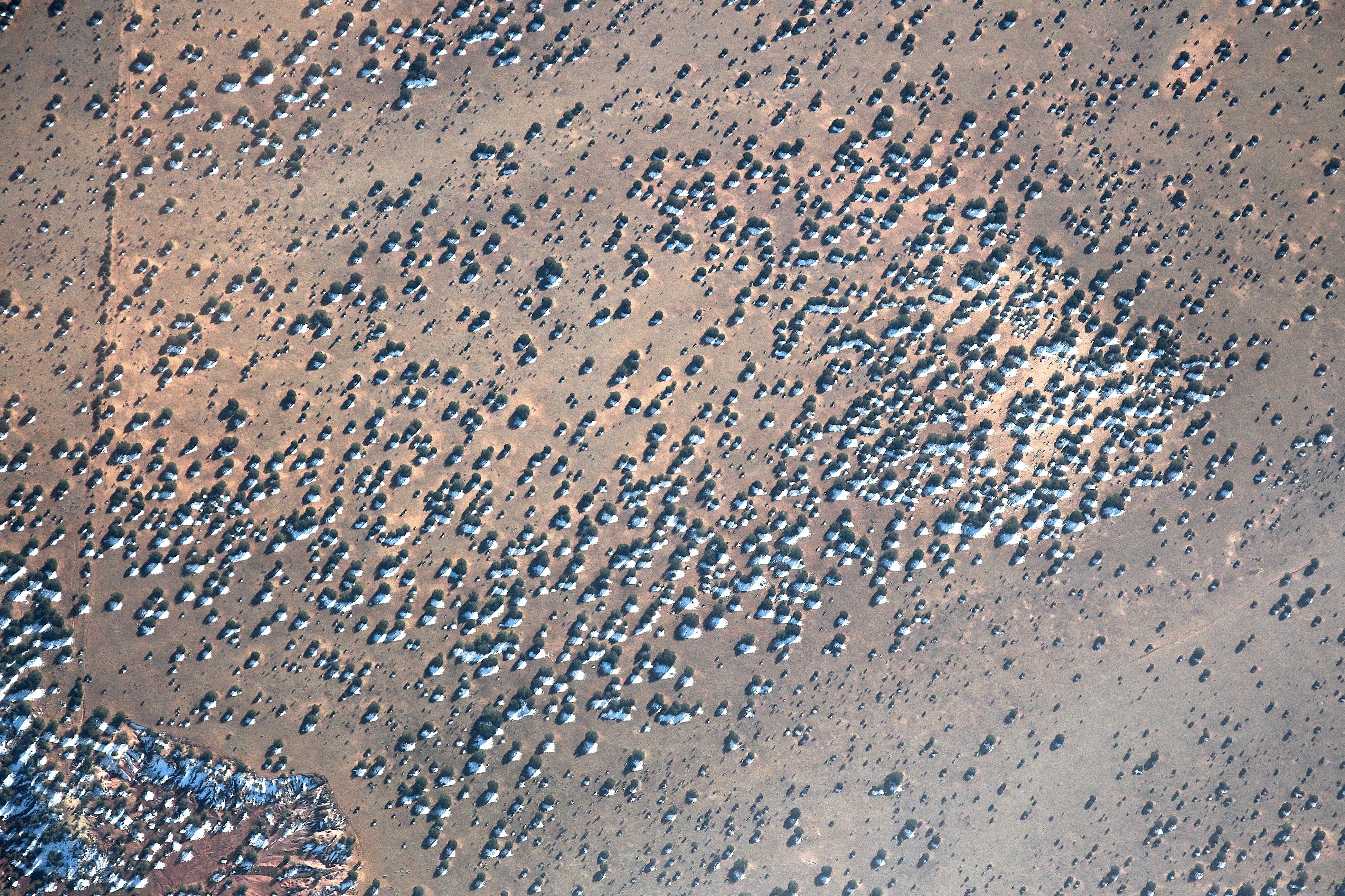
Snowy shadows
Topographic Map of Montosa, NM, USA
Find elevation by address:

Places near Montosa, NM, USA:
San Miguel County
NM-, Las Vegas, NM, USA
3046 Nm-104
County Rd 4 KJ, La Loma, NM, USA
La Loma
Anton Chico
Apache Mesa Road
County Rd B45C, Anton Chico, NM, USA
Las Vegas Municipal Airport
Las Vegas Nm
600 Grand Ave
931 Jackson St
U.s. 84
407 11th St
407 11th St
407 11th St
407 11th St
12th St & Jackson St
12th St & Jackson St
12th St & Jackson St
Recent Searches:
- Elevation of Corso Fratelli Cairoli, 35, Macerata MC, Italy
- Elevation of Tallevast Rd, Sarasota, FL, USA
- Elevation of 4th St E, Sonoma, CA, USA
- Elevation of Black Hollow Rd, Pennsdale, PA, USA
- Elevation of Oakland Ave, Williamsport, PA, USA
- Elevation of Pedrógão Grande, Portugal
- Elevation of Klee Dr, Martinsburg, WV, USA
- Elevation of Via Roma, Pieranica CR, Italy
- Elevation of Tavkvetili Mountain, Georgia
- Elevation of Hartfords Bluff Cir, Mt Pleasant, SC, USA