Elevation of Collingwood Corner, NS B0M 1E0, Canada
Location: Canada > Nova Scotia >
Longitude: -63.933333
Latitude: 45.616667
Elevation: 43m / 141feet
Barometric Pressure: 101KPa
Elevation Map:
Satellite Map:
Related Photos:
View of river

Springhill Miners Memorial

Morris Street at Night
Blueberry fields

Fall colours

Pentax SMC M120
Back field panorama
Collingwood Corner
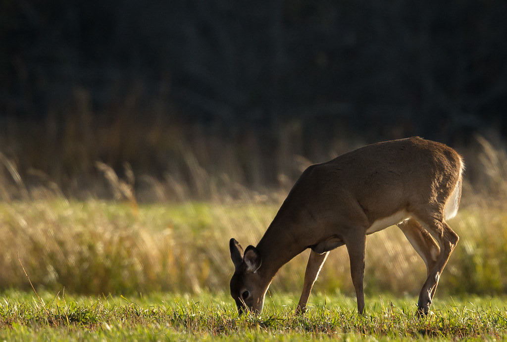
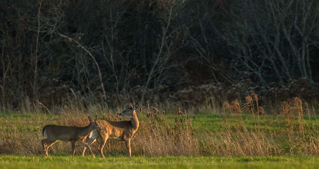
IMG_7970 Deer in an Oxford Field

Canadian Roadtrip (225)
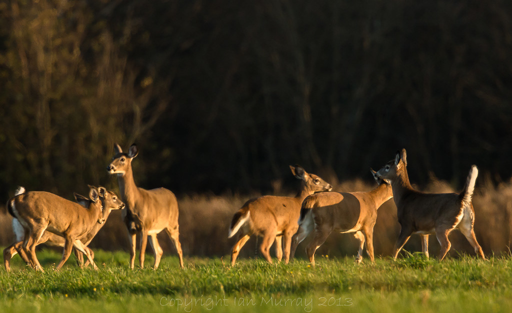
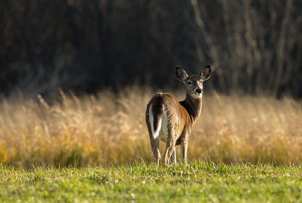
IMG_1991 Deer in a Field
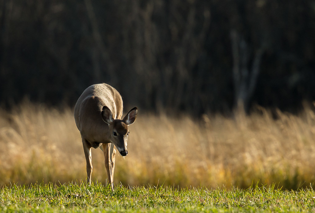
IMG_7979 Deer in an Oxford Field
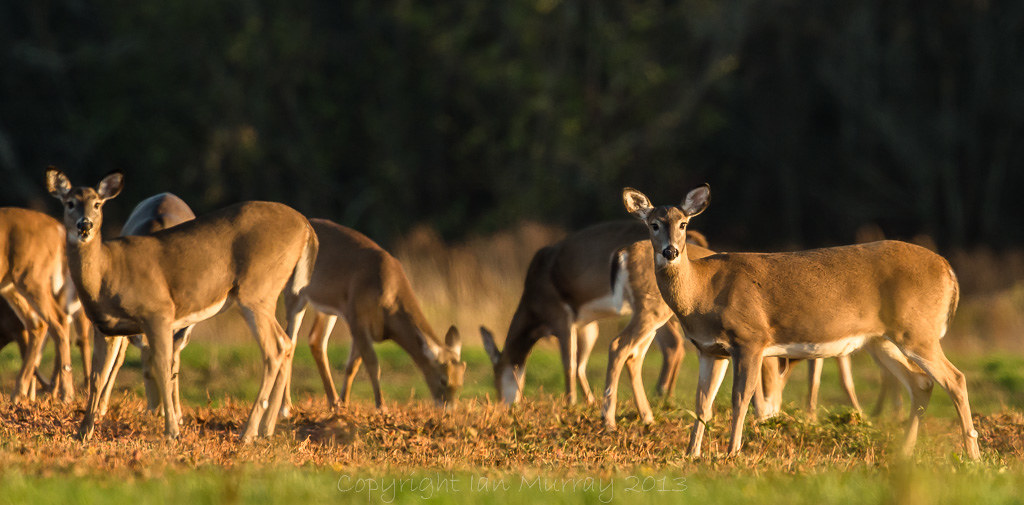
IMG_1958 Deer in a Field
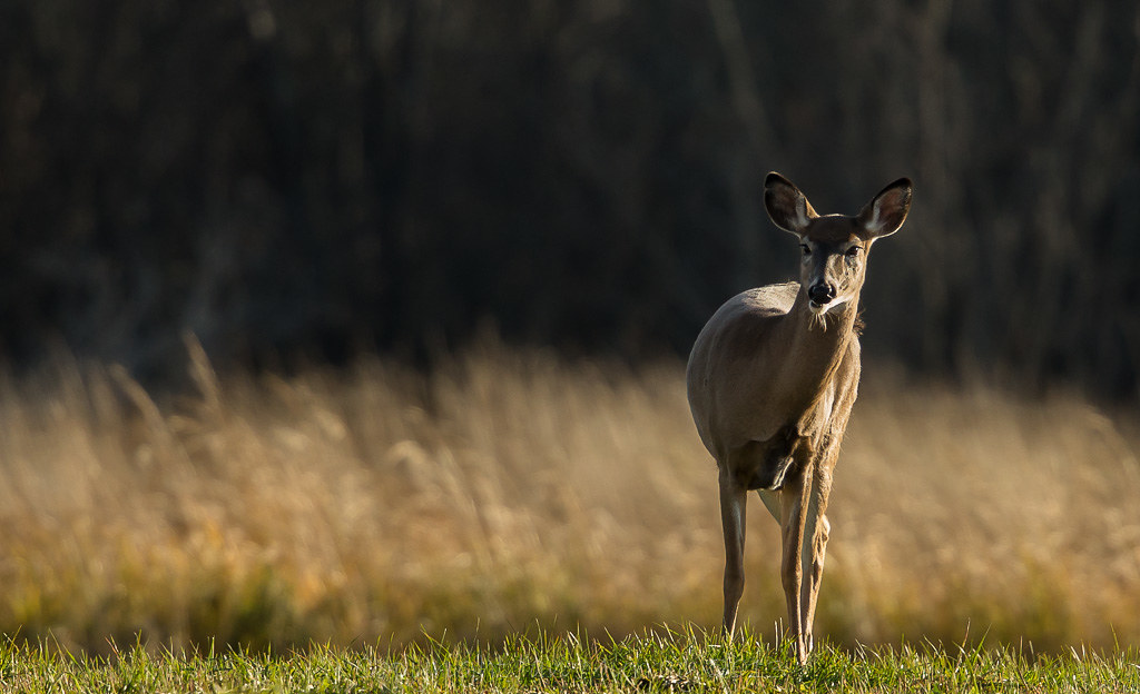
IMG_7983 Deer in an Oxford Field
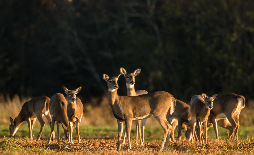
IMG_1967 Deer in a Field
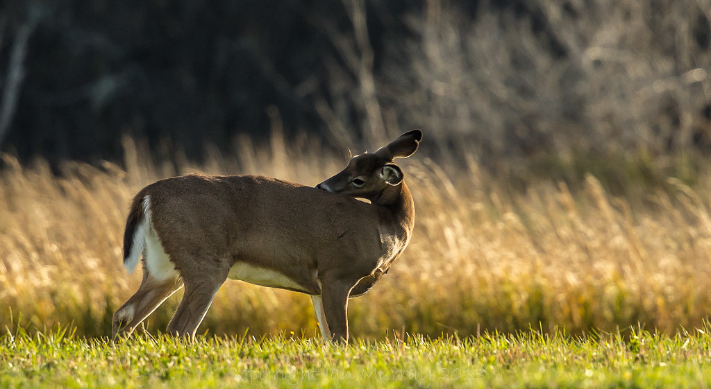
IMG_7989 Deer in an Oxford Field
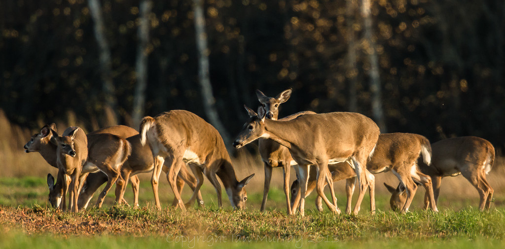
IMG_1946 Deer in a Field

IMG_1971 Deer in a Field
IMG_2036 Deer in a Field
IMG_7988 Deer in an Oxford Field
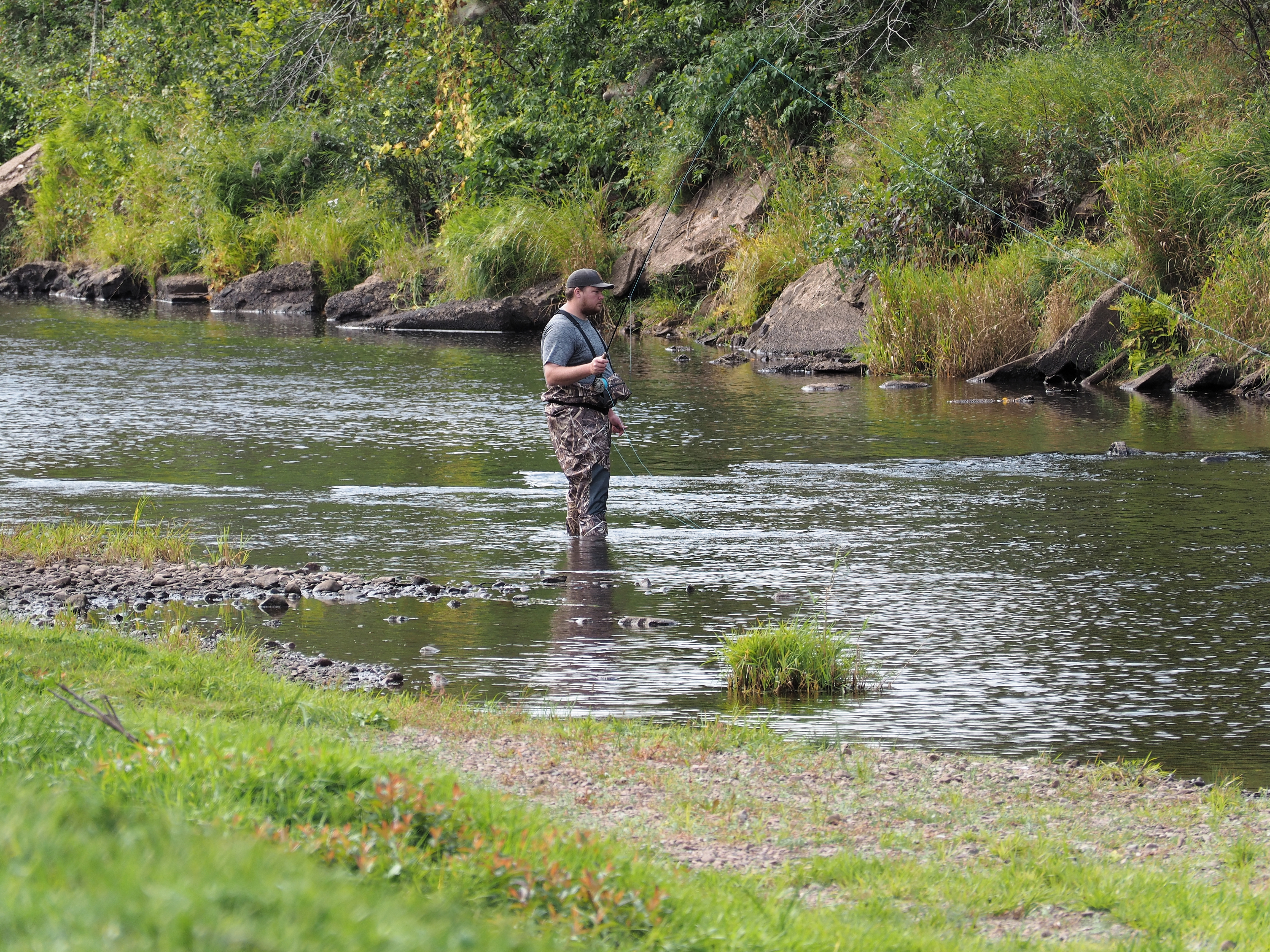
Fly fishing, Oxford NS
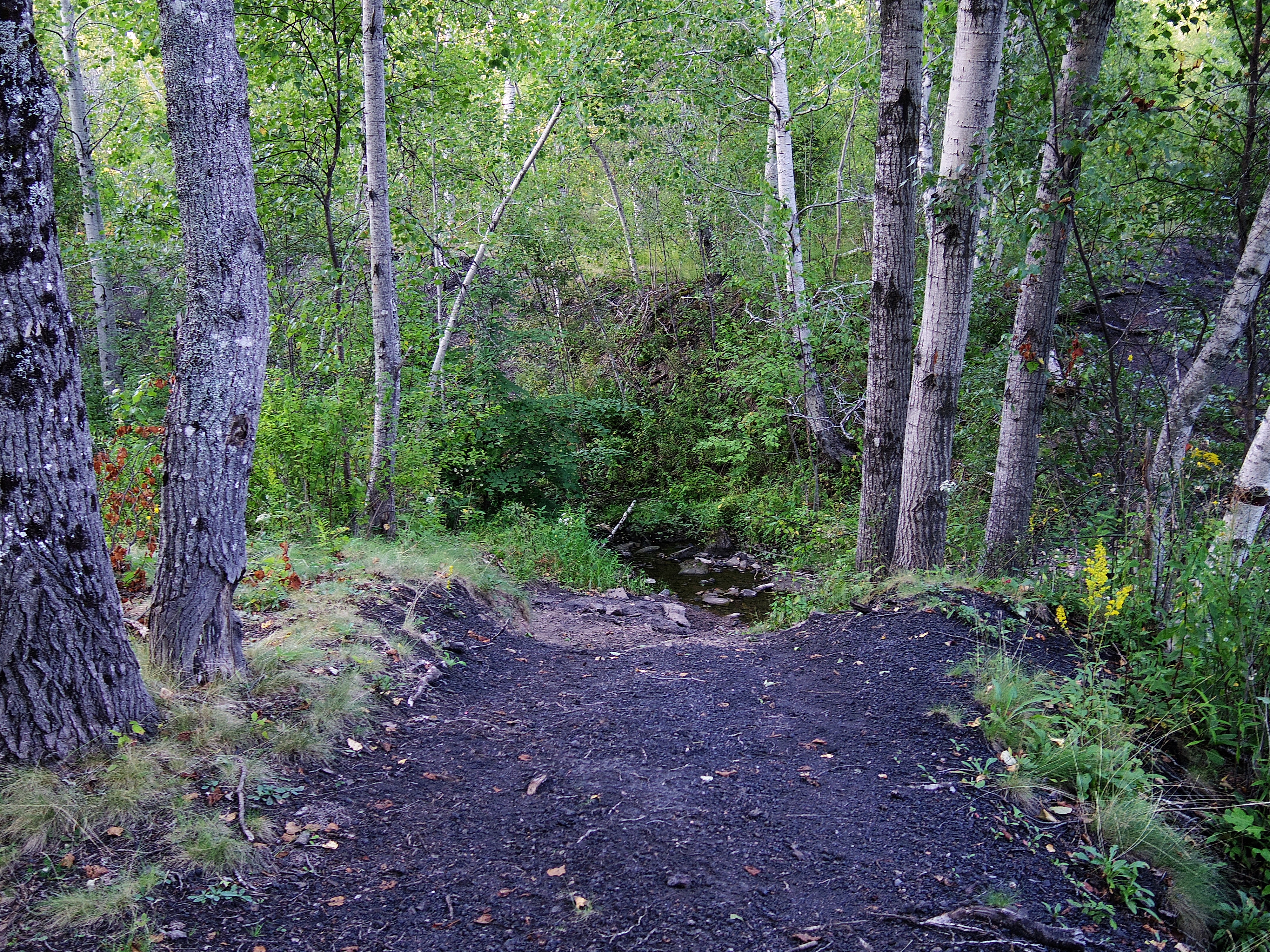
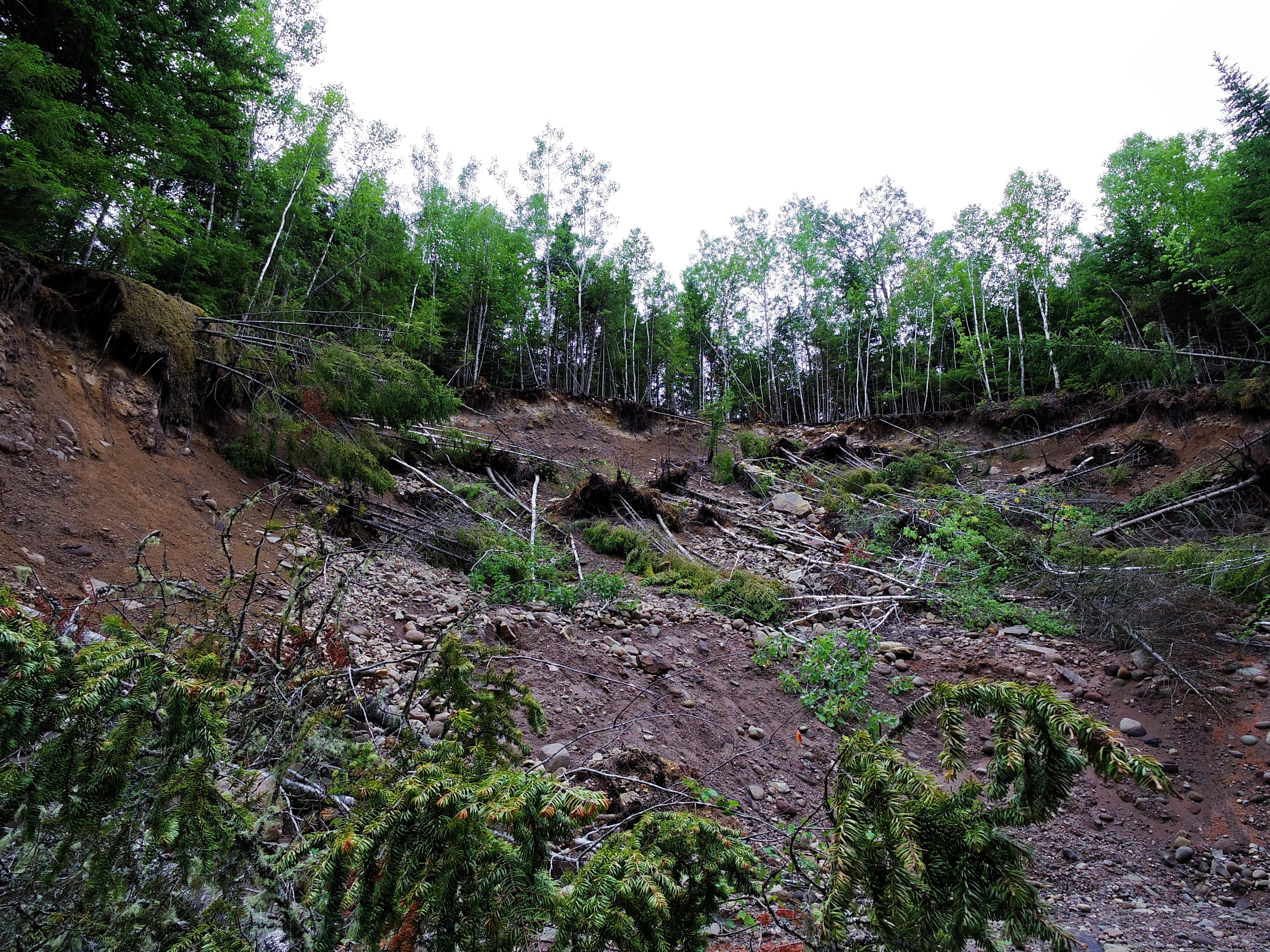
Old "black track"
Pentax 08 lens
Topographic Map of Collingwood Corner, NS B0M 1E0, Canada
Find elevation by address:

Places near Collingwood Corner, NS B0M 1E0, Canada:
124 Wentworth Collingwood Rd
Wentworth Collingwood Rd, Collingwood Corner, NS B0M 1E0, Canada
647 Wentworth Collingwood Rd
41 Track Rd
Oxford Junction
Windham Hill Rd, Springhill, NS B0M 1X0, Canada
4146 Main St
Tim Hortons
3 Princess St
126 North St
5 Junction Rd
2 Victoria St
Springhill
Mcdougal Street
5072 Main St
85 Junction Rd
185 Junction Rd
20 Queen St
32 James St
Oxford
Recent Searches:
- Elevation of Corso Fratelli Cairoli, 35, Macerata MC, Italy
- Elevation of Tallevast Rd, Sarasota, FL, USA
- Elevation of 4th St E, Sonoma, CA, USA
- Elevation of Black Hollow Rd, Pennsdale, PA, USA
- Elevation of Oakland Ave, Williamsport, PA, USA
- Elevation of Pedrógão Grande, Portugal
- Elevation of Klee Dr, Martinsburg, WV, USA
- Elevation of Via Roma, Pieranica CR, Italy
- Elevation of Tavkvetili Mountain, Georgia
- Elevation of Hartfords Bluff Cir, Mt Pleasant, SC, USA