Elevation of 20 Queen St, Maccan, NS B0L 1B0, Canada
Location: Canada > Nova Scotia > Cumberland County > Cumberland, Subd. B > Springhill >
Longitude: -64.063303
Latitude: 45.6508616
Elevation: 143m / 469feet
Barometric Pressure: 100KPa
Elevation Map:
Satellite Map:
Related Photos:
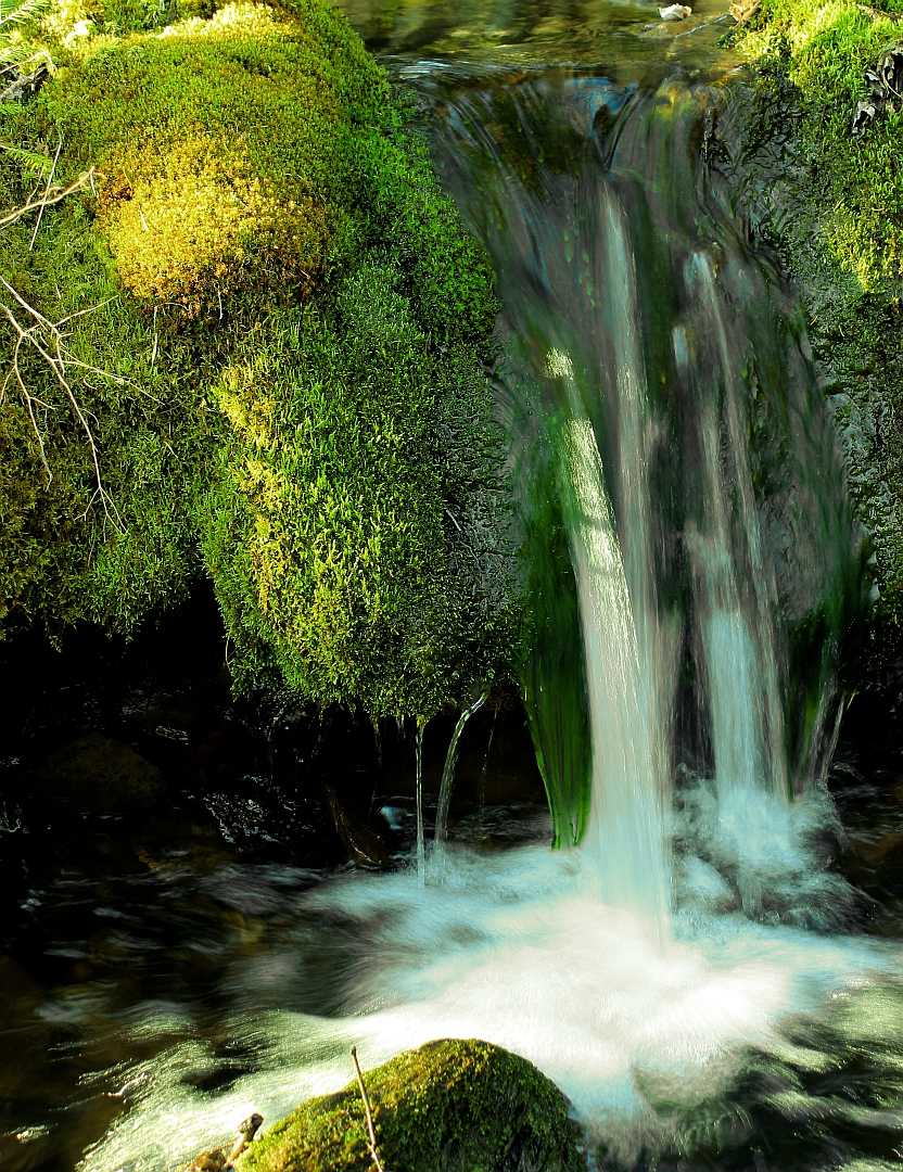
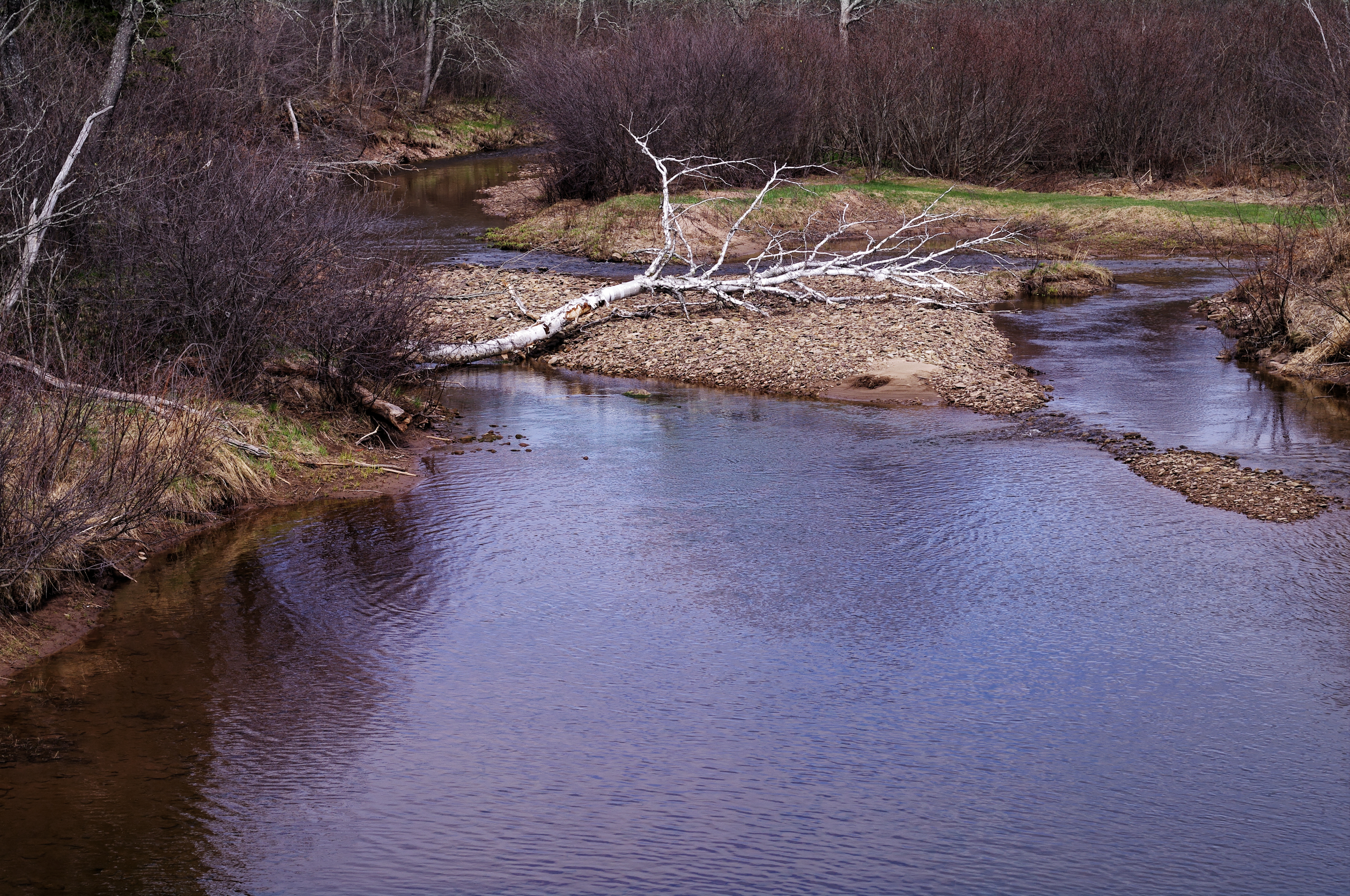
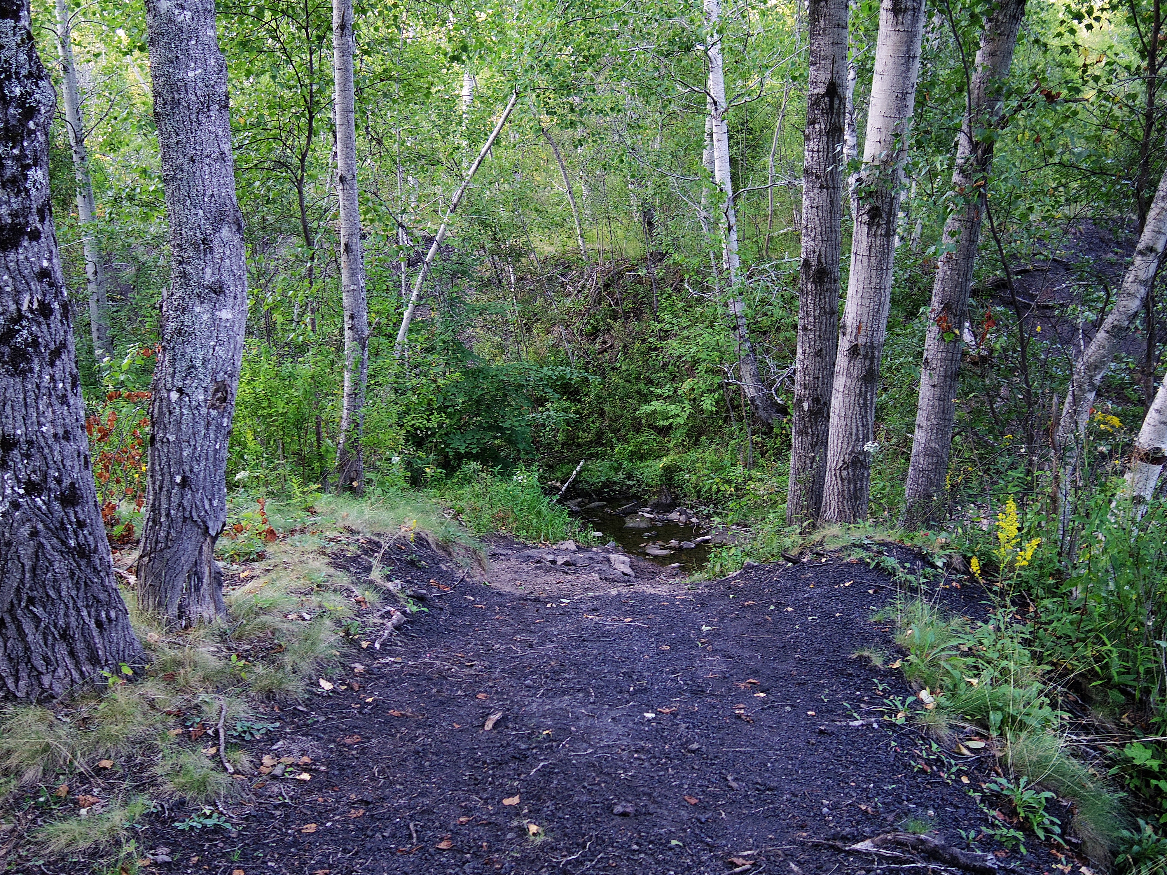
View of river
Springhill NS

Springhill Miners Memorial
Rainy day, Springhill,NS

Morris Street at Night
Collingwood Corner
velvet pillow

Pentax SMC M120

This was taken through the windshield so there is some distortion but the ice covered trees were so pretty through the Cobequid Pass I couldn't resist.
A50 1.7
Pentax A50 1.7
Old "black track"
Pentax 08 lens
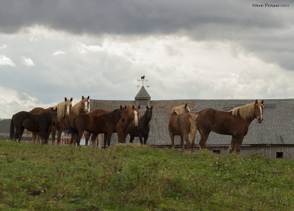
"Look everyone, that guys got a camera"
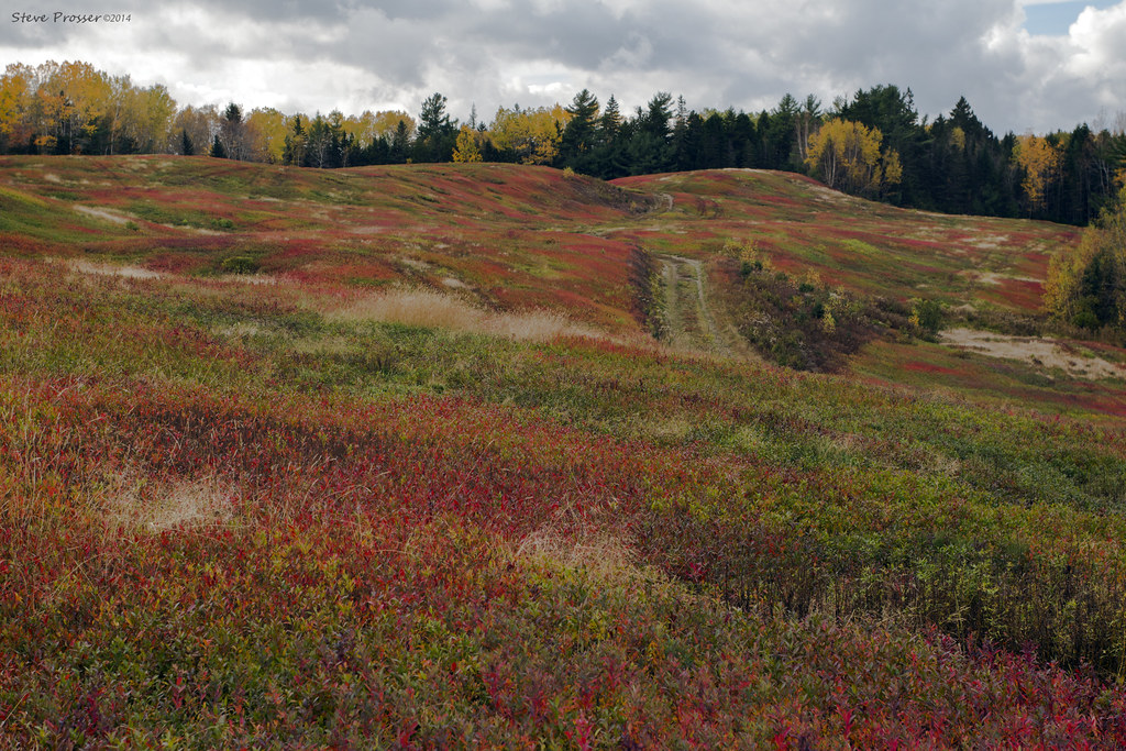
Autumn colours
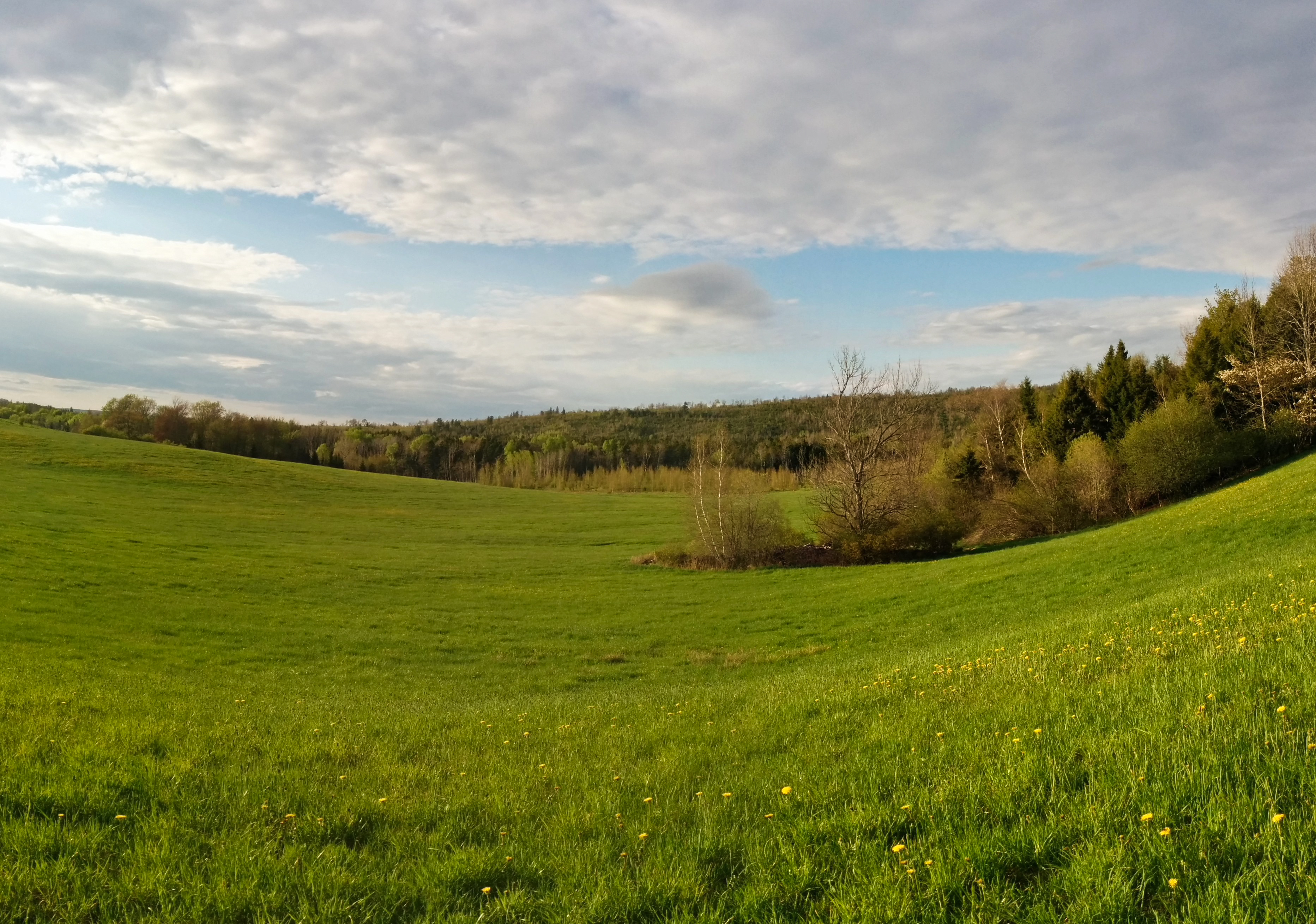
Back field panorama
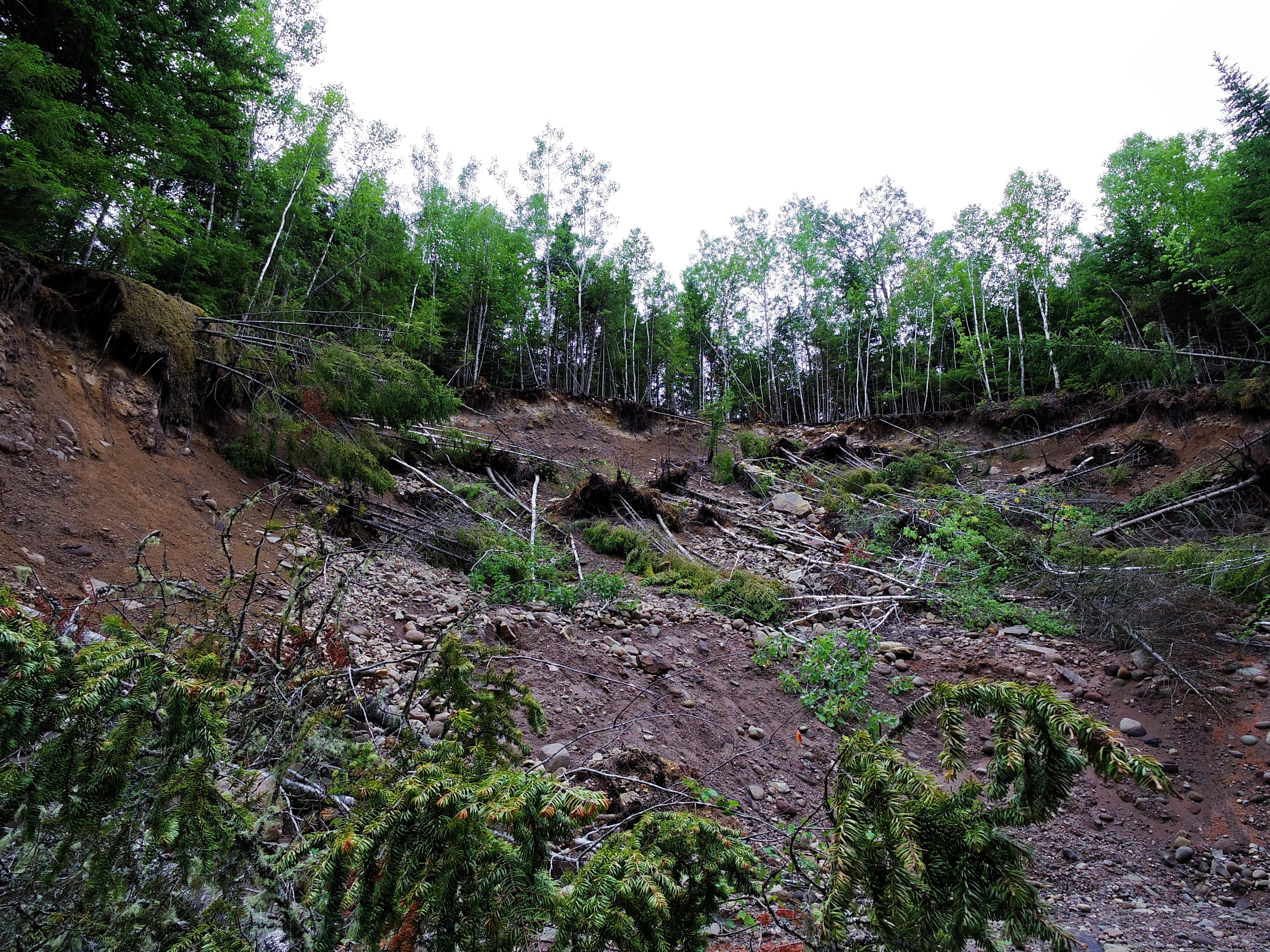
CFI short ecological forestry course
Topographic Map of 20 Queen St, Maccan, NS B0L 1B0, Canada
Find elevation by address:

Places near 20 Queen St, Maccan, NS B0L 1B0, Canada:
Springhill
2 Victoria St
Mcdougal Street
5 Junction Rd
85 Junction Rd
185 Junction Rd
3 Princess St
126 North St
Athol Rd, Springhill, NS B0M 1X0, Canada
Windham Hill Rd, Springhill, NS B0M 1X0, Canada
Springhill Junction
NS-, Amherst, NS B4H 3Y3, Canada
Collingwood Corner
124 Wentworth Collingwood Rd
91 Athol Station Rd, Southampton, NS B0M 1W0, Canada
115 Hastings Rd
Wentworth Collingwood Rd, Collingwood Corner, NS B0M 1E0, Canada
Five Islands
647 Wentworth Collingwood Rd
NS-, Amherst, NS B4H 3Y1, Canada
Recent Searches:
- Elevation of Corso Fratelli Cairoli, 35, Macerata MC, Italy
- Elevation of Tallevast Rd, Sarasota, FL, USA
- Elevation of 4th St E, Sonoma, CA, USA
- Elevation of Black Hollow Rd, Pennsdale, PA, USA
- Elevation of Oakland Ave, Williamsport, PA, USA
- Elevation of Pedrógão Grande, Portugal
- Elevation of Klee Dr, Martinsburg, WV, USA
- Elevation of Via Roma, Pieranica CR, Italy
- Elevation of Tavkvetili Mountain, Georgia
- Elevation of Hartfords Bluff Cir, Mt Pleasant, SC, USA