Elevation of 91 Athol Station Rd, Southampton, NS B0M 1W0, Canada
Location: Canada > Nova Scotia > Cumberland County > Cumberland, Subd. A > Southampton >
Longitude: -64.215083
Latitude: 45.687319
Elevation: 39m / 128feet
Barometric Pressure: 101KPa
Elevation Map:
Satellite Map:
Related Photos:
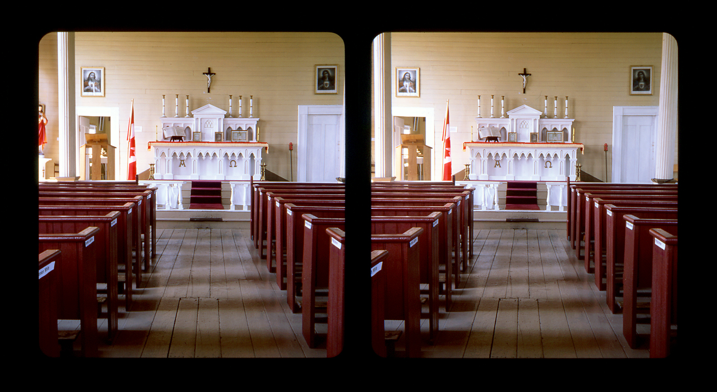
St. Denis Church, Minudie, Nova Scotia... 3D cross-view
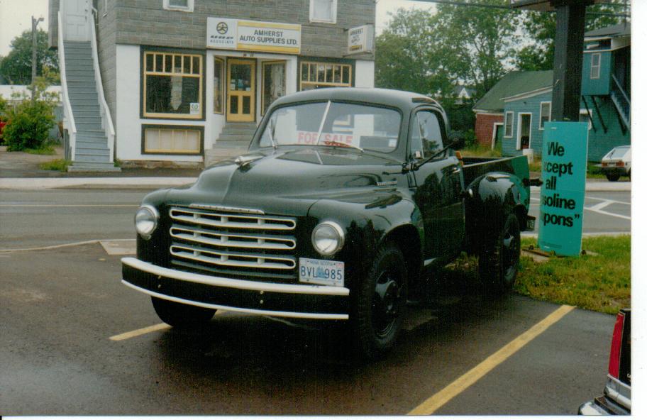
1949 Studebaker 2R10 1-ton pickup

Morris Street at Night

Springhill Miners Memorial
Pentax SMC M120
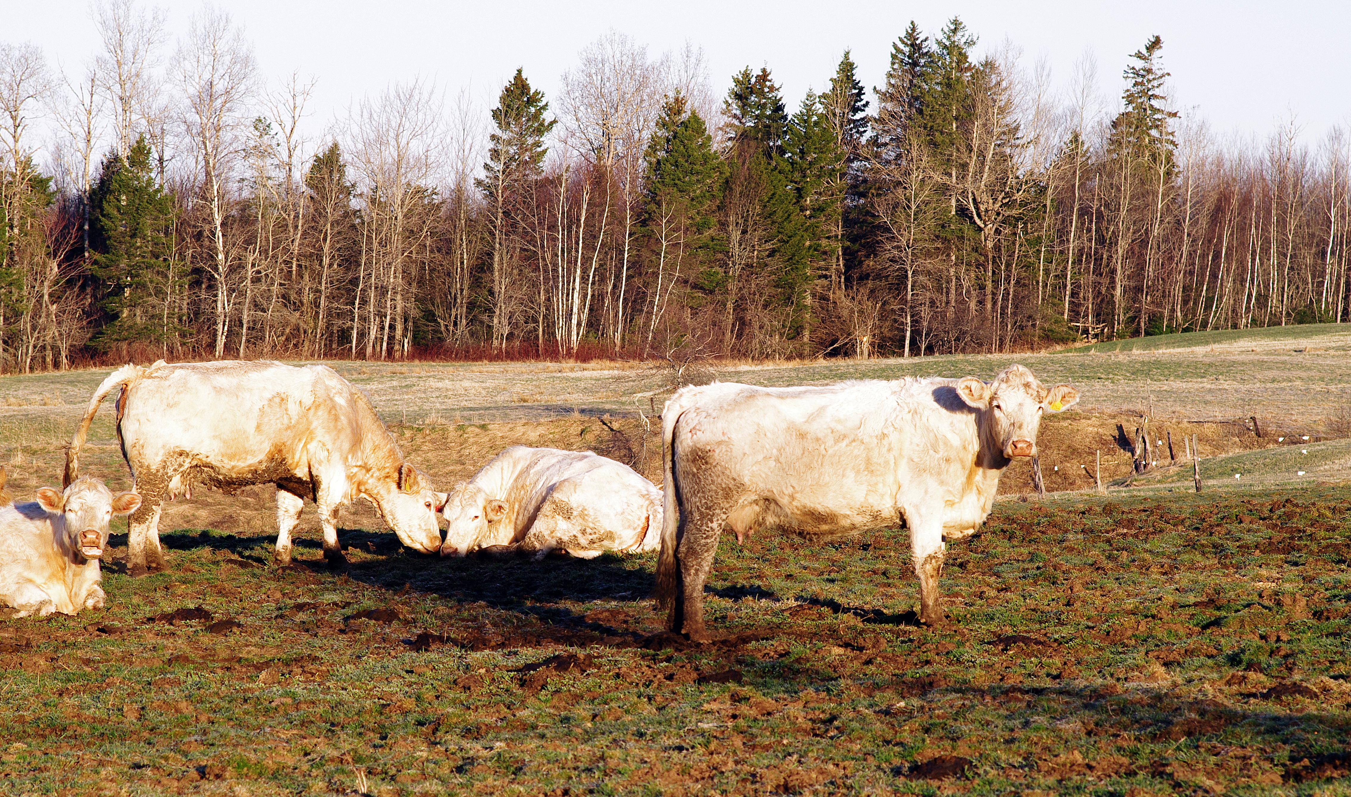
CFI short ecological forestry course
Autumn colours
velvet pillow
Gas Station, Amherst, NS
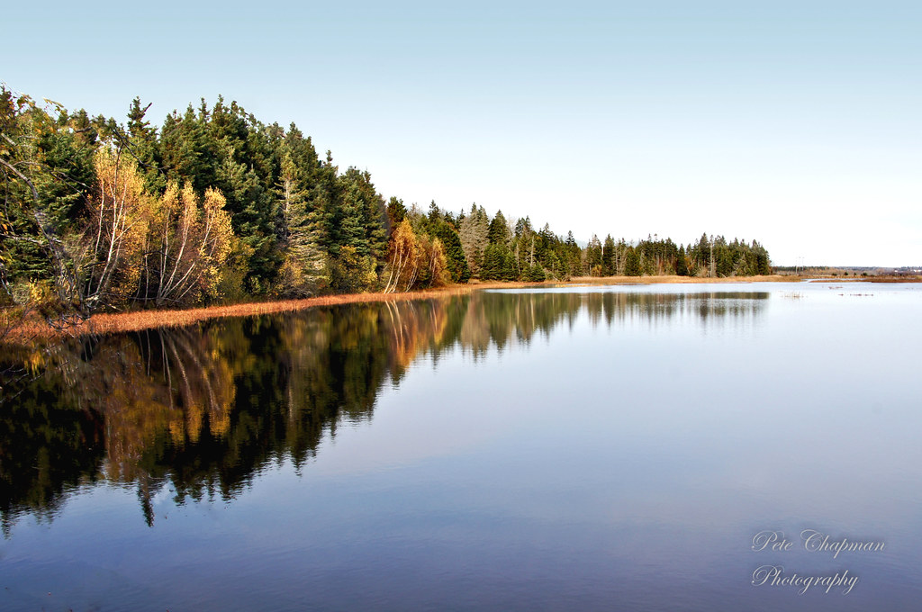
River Hebert
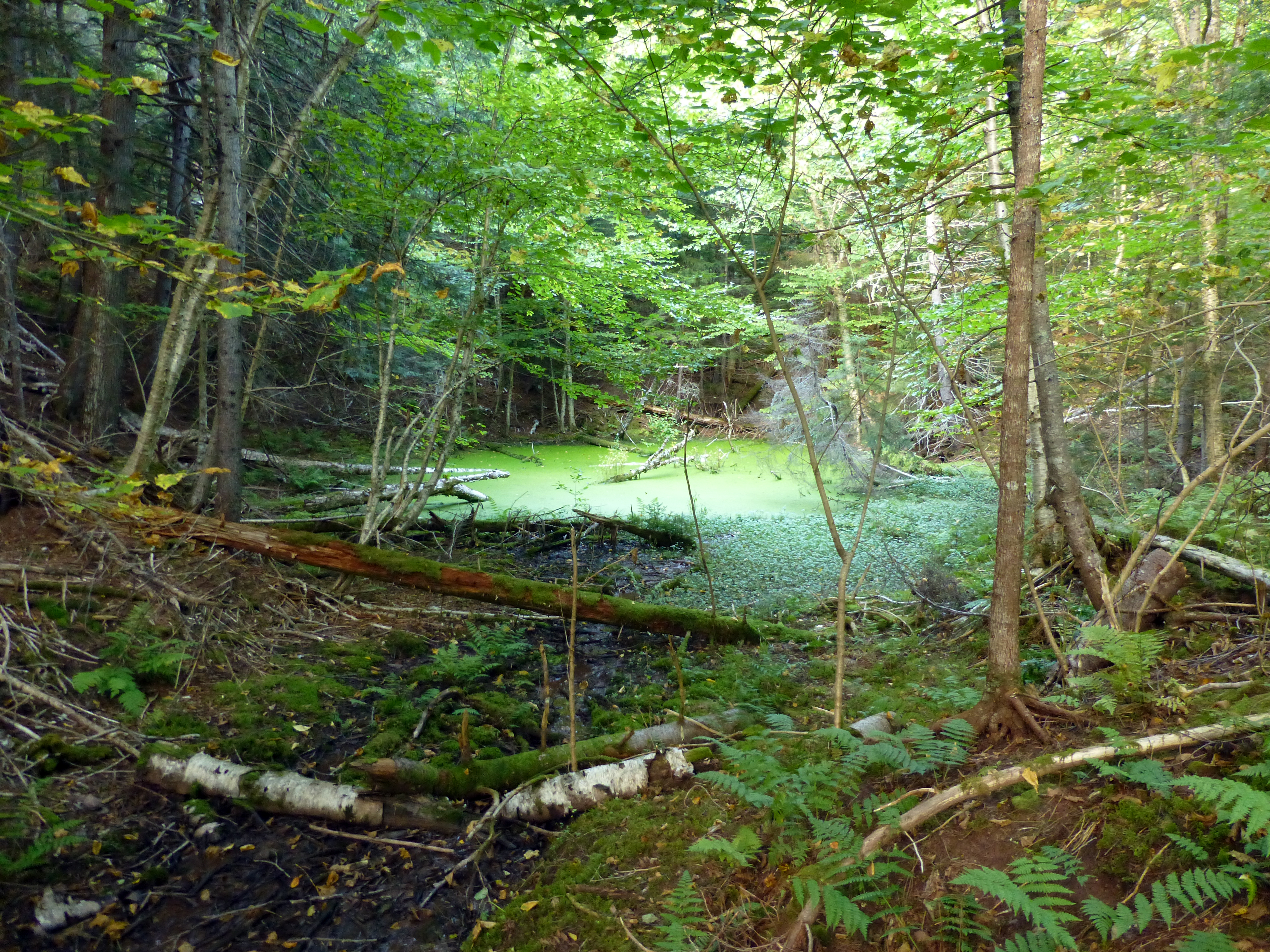
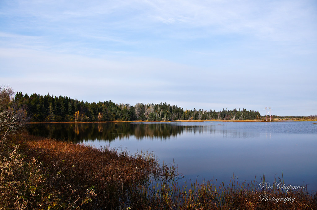
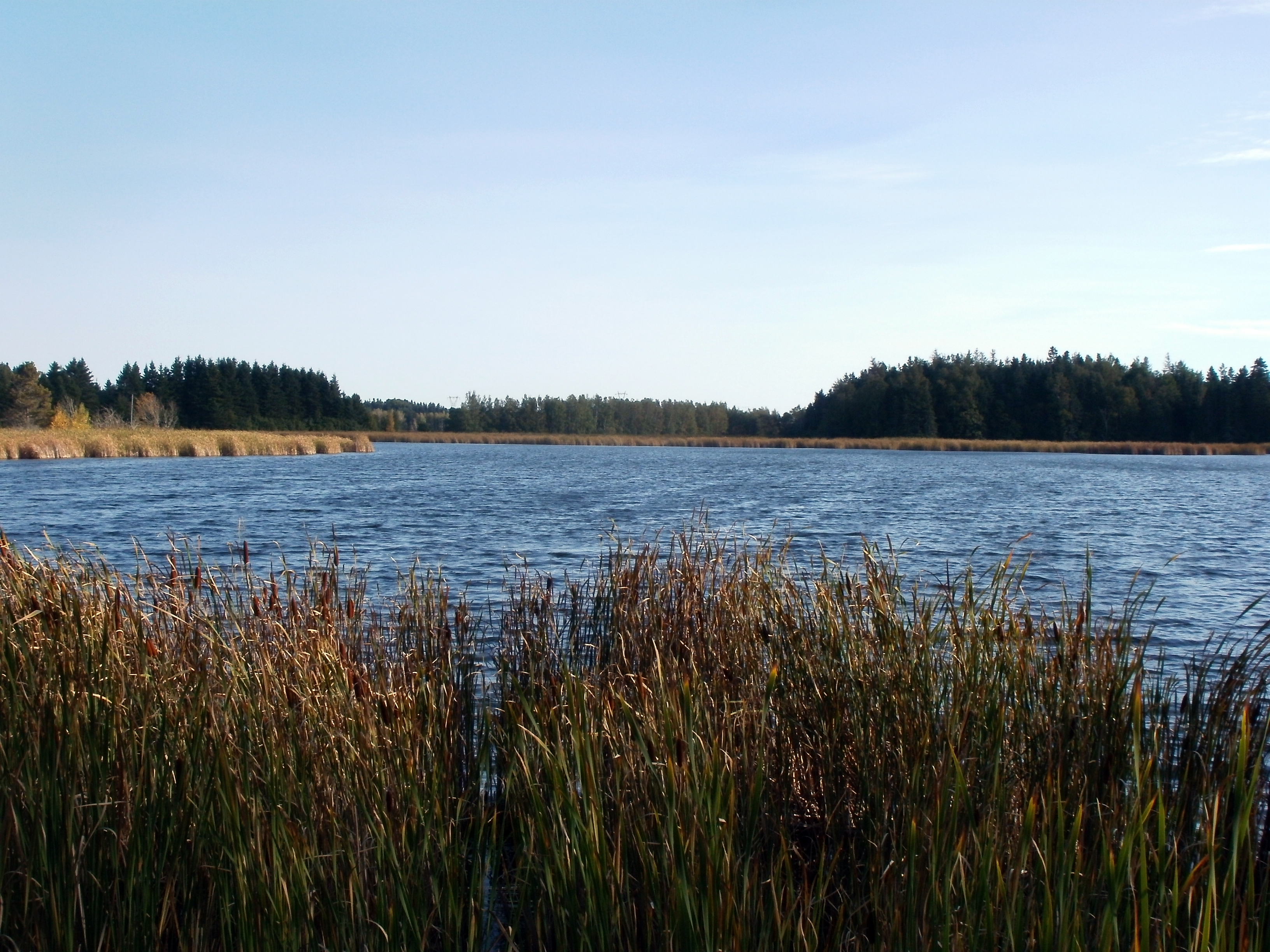
A Network of Ponds
Wildlife Sanctuary 2
Amherst NS overcast
"Look everyone, that guys got a camera"
Wildlife Sanctuary 3
IMG_4656.jpg
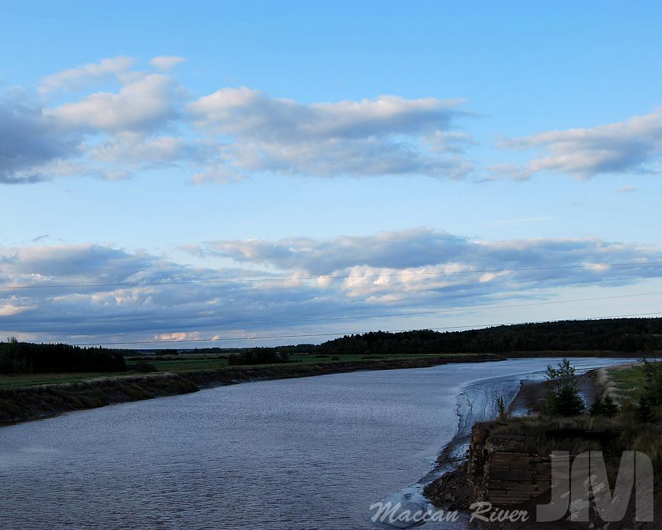
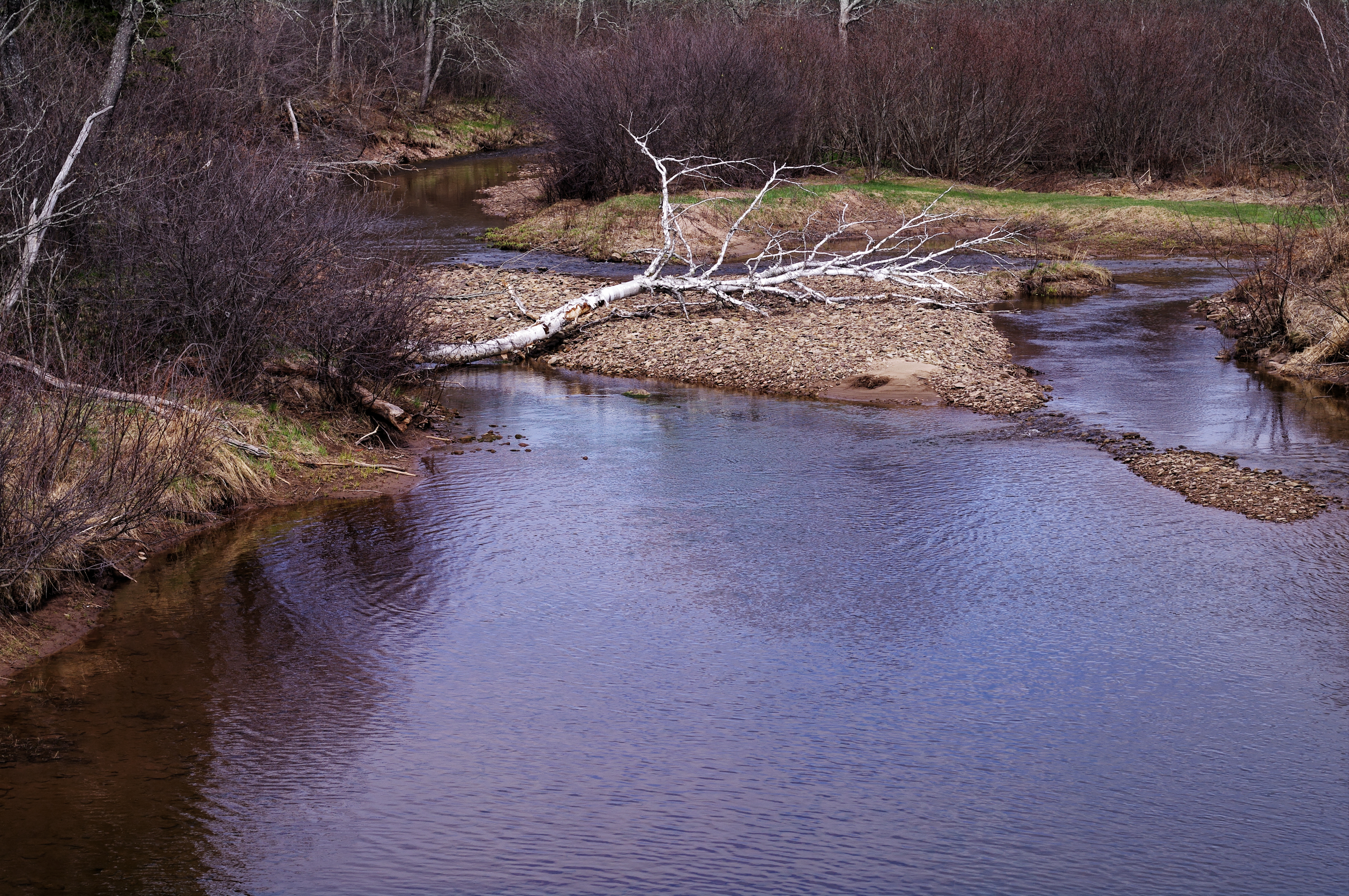
Maccan River
Amherst ns clouds

Maples!
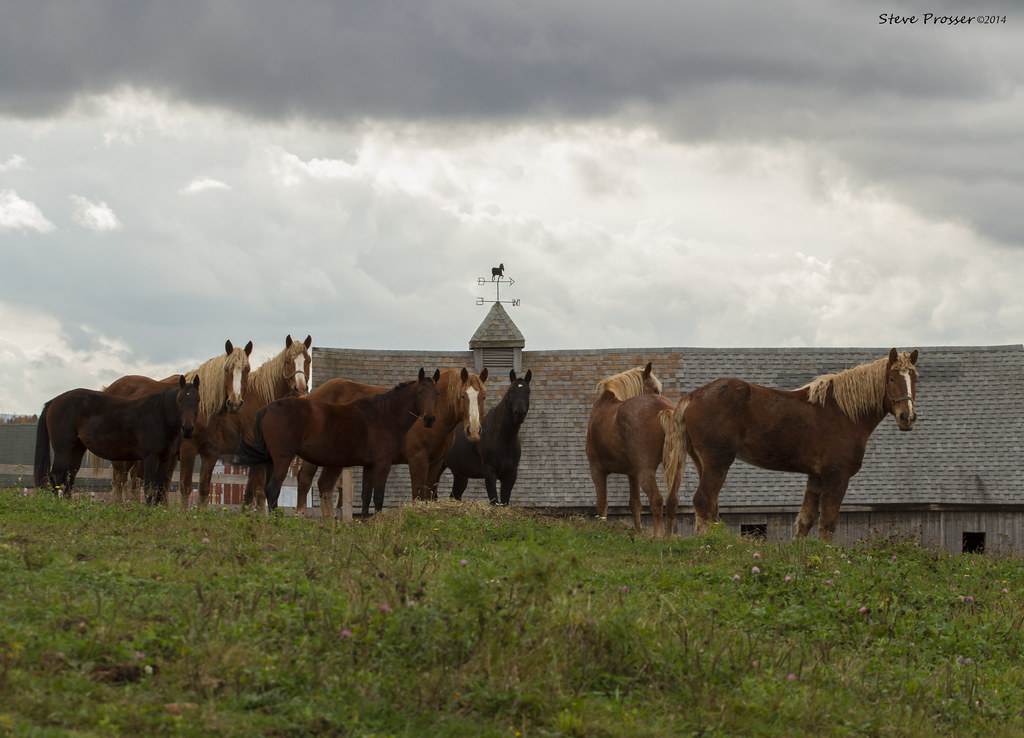
Amherst Point Bird Sanctuary

This was taken through the windshield so there is some distortion but the ice covered trees were so pretty through the Cobequid Pass I couldn't resist.
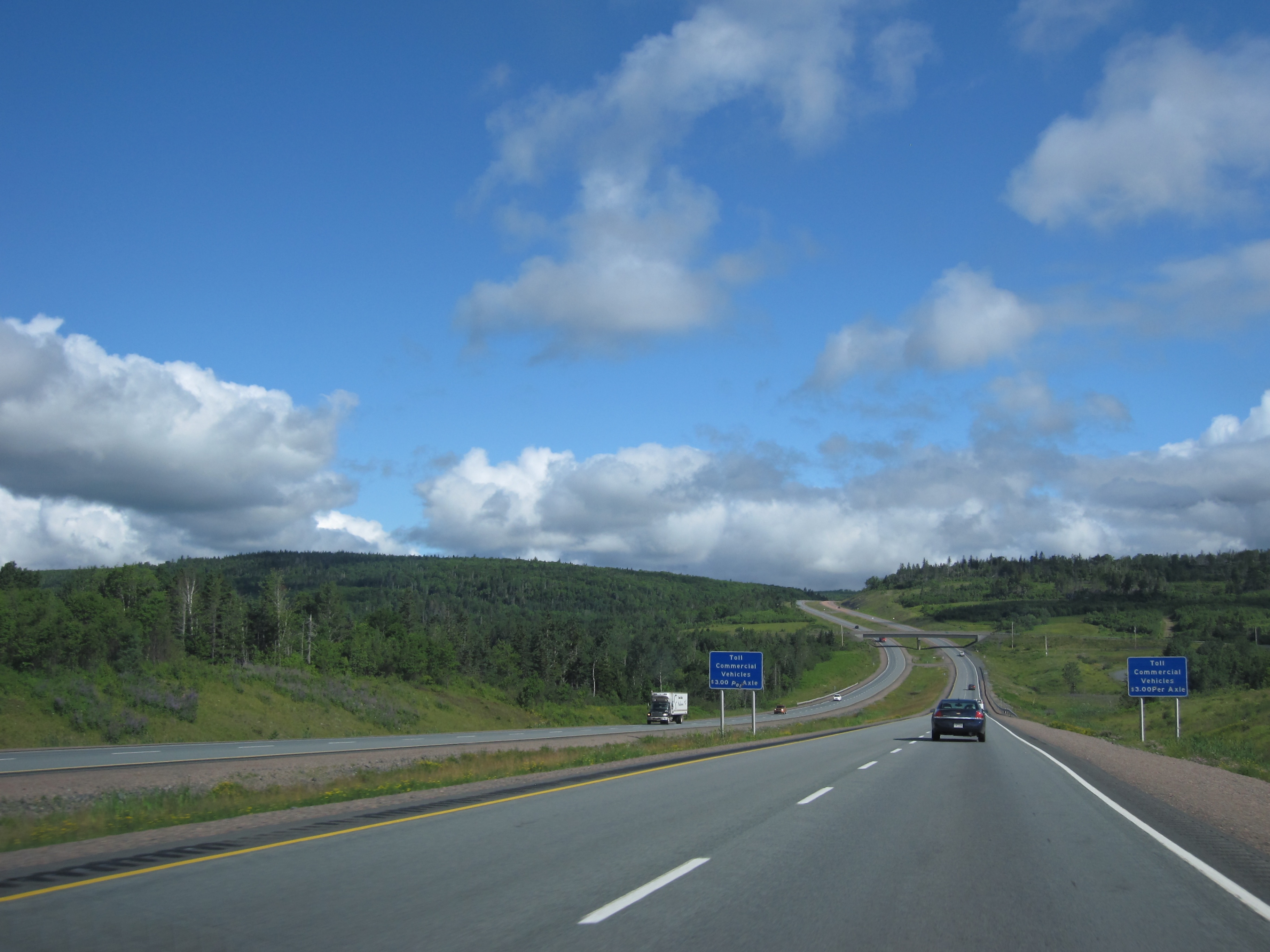
Day 7, Halifax, NS - Kingfield, ME 007
A50 1.7
Pentax SMC M120
Pentax A50 1.7
Topographic Map of 91 Athol Station Rd, Southampton, NS B0M 1W0, Canada
Find elevation by address:

Places near 91 Athol Station Rd, Southampton, NS B0M 1W0, Canada:
30 Mines Rd, Maccan, NS B0L 1B0, Canada
Maccan
Lower Maccan Rd, Maccan, NS B0L 1B0, Canada
Cumberland, Subd. B
99 Fenwick Rd
Nappan
4626 Ns-302
Southampton
Springhill Junction
Athol Rd, Springhill, NS B0M 1X0, Canada
Amherst
2 Hamlet Ct
115 Hastings Rd
20 Summer St
1 Lusby St
21 Crescent Ave
34 Rupert St
20 Eddy St
24 Eddy St
26 Eddy St
Recent Searches:
- Elevation of Corso Fratelli Cairoli, 35, Macerata MC, Italy
- Elevation of Tallevast Rd, Sarasota, FL, USA
- Elevation of 4th St E, Sonoma, CA, USA
- Elevation of Black Hollow Rd, Pennsdale, PA, USA
- Elevation of Oakland Ave, Williamsport, PA, USA
- Elevation of Pedrógão Grande, Portugal
- Elevation of Klee Dr, Martinsburg, WV, USA
- Elevation of Via Roma, Pieranica CR, Italy
- Elevation of Tavkvetili Mountain, Georgia
- Elevation of Hartfords Bluff Cir, Mt Pleasant, SC, USA