Elevation of Cumberland, Subd. A, NS, Canada
Location: Canada > Nova Scotia > Cumberland County >
Longitude: -64.633142
Latitude: 45.4620868
Elevation: 137m / 449feet
Barometric Pressure: 100KPa
Elevation Map:
Satellite Map:
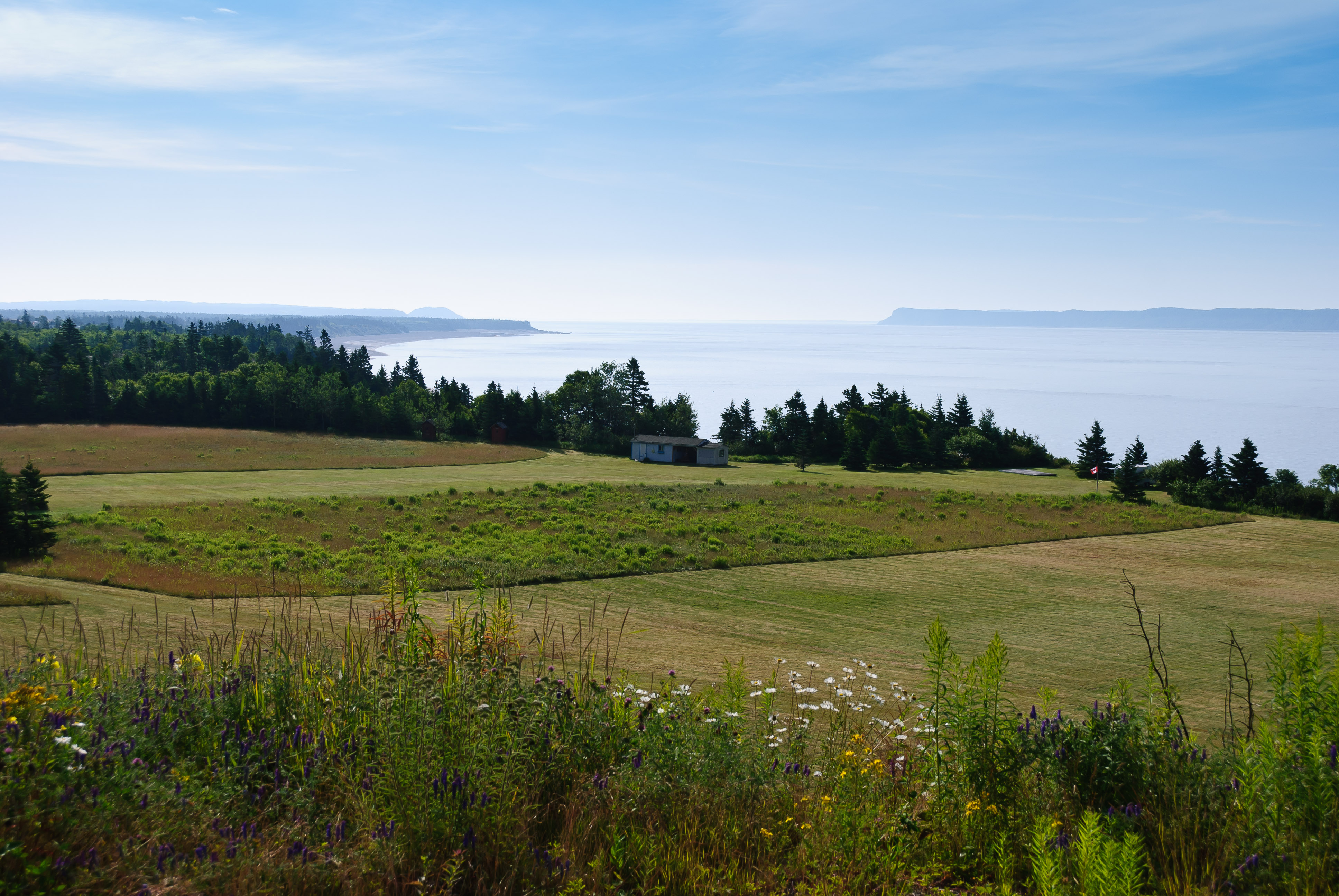
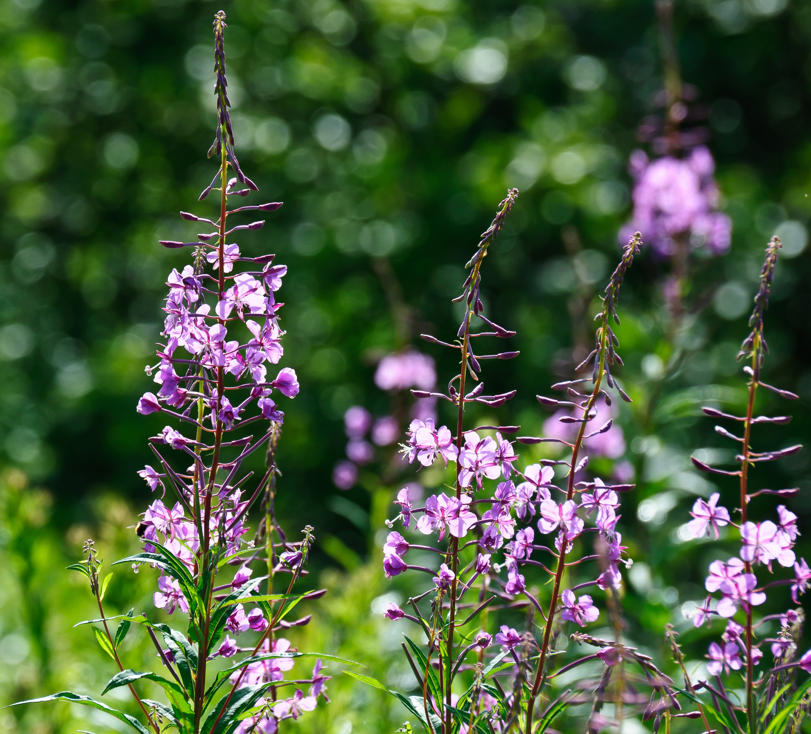
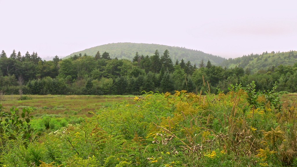
Related Photos:

Blueberry fields, Diligent River, Nova Scotia.. Iscorama anamorphic

Blueberry fields, Yorke Settlement, Nova Scotia... Iscorama anamorphic

Glasgow Mountain, Nova Scotia... Iscorama anamorphic
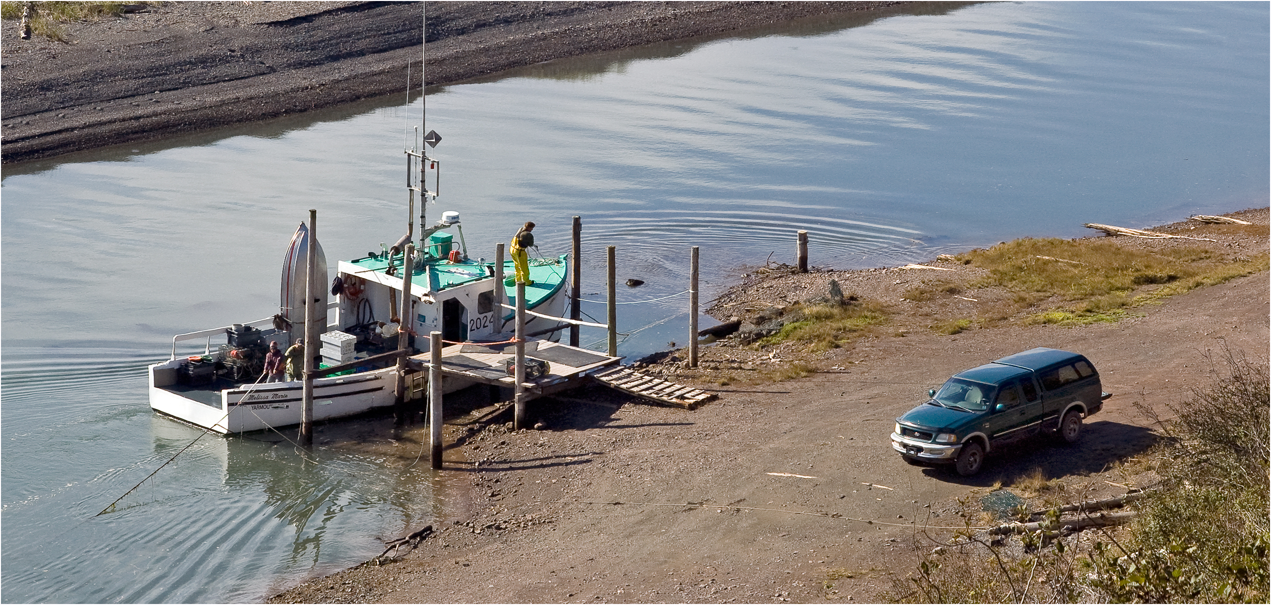
"Melissa Marie" tying up, Port Greville, Nova Scotia... Iscorama anamorphic
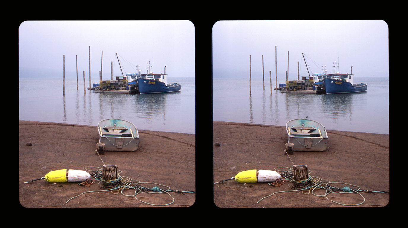
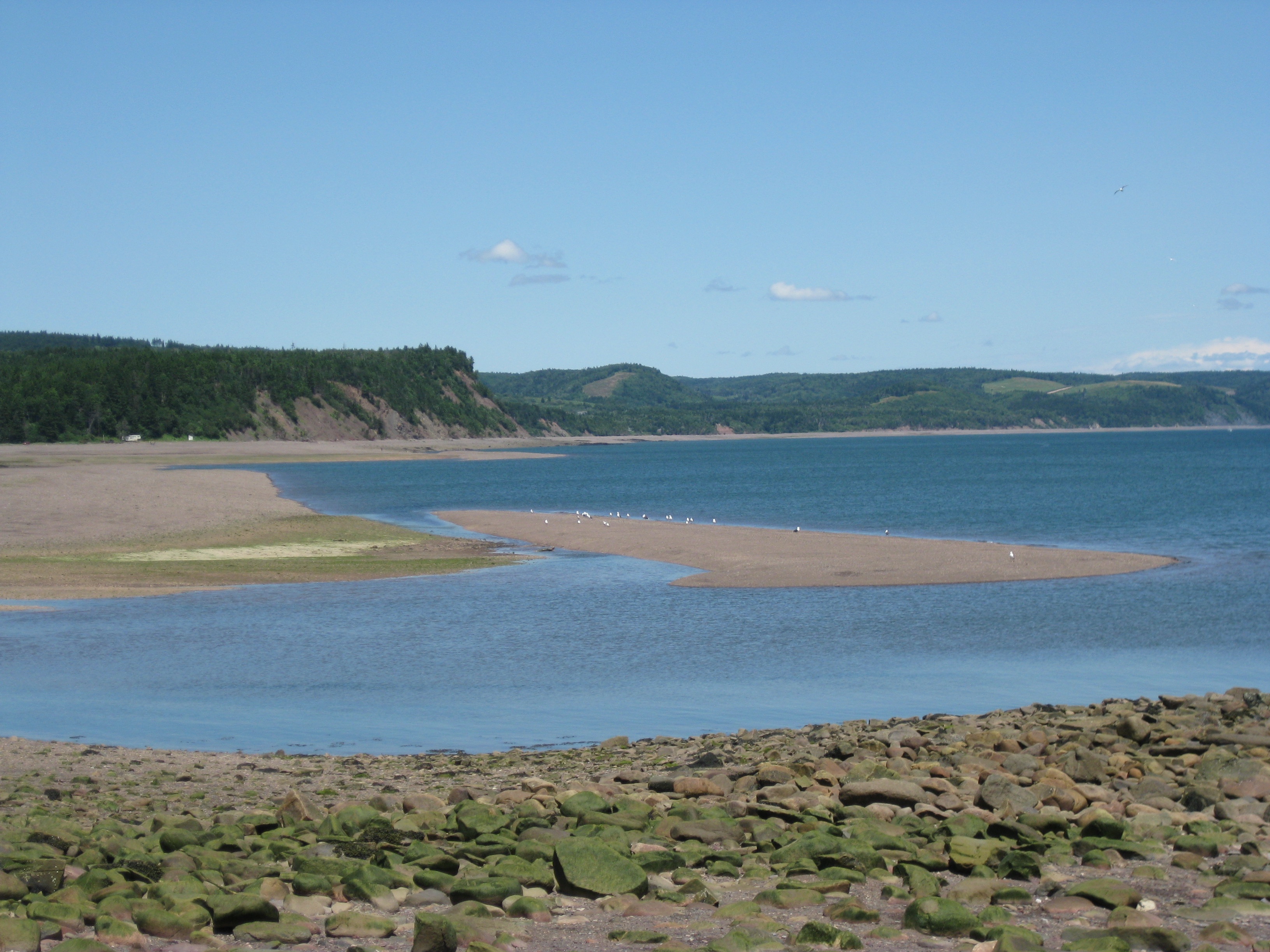
Rising tide-Apple River, Nova Scotia... 3D cross-view
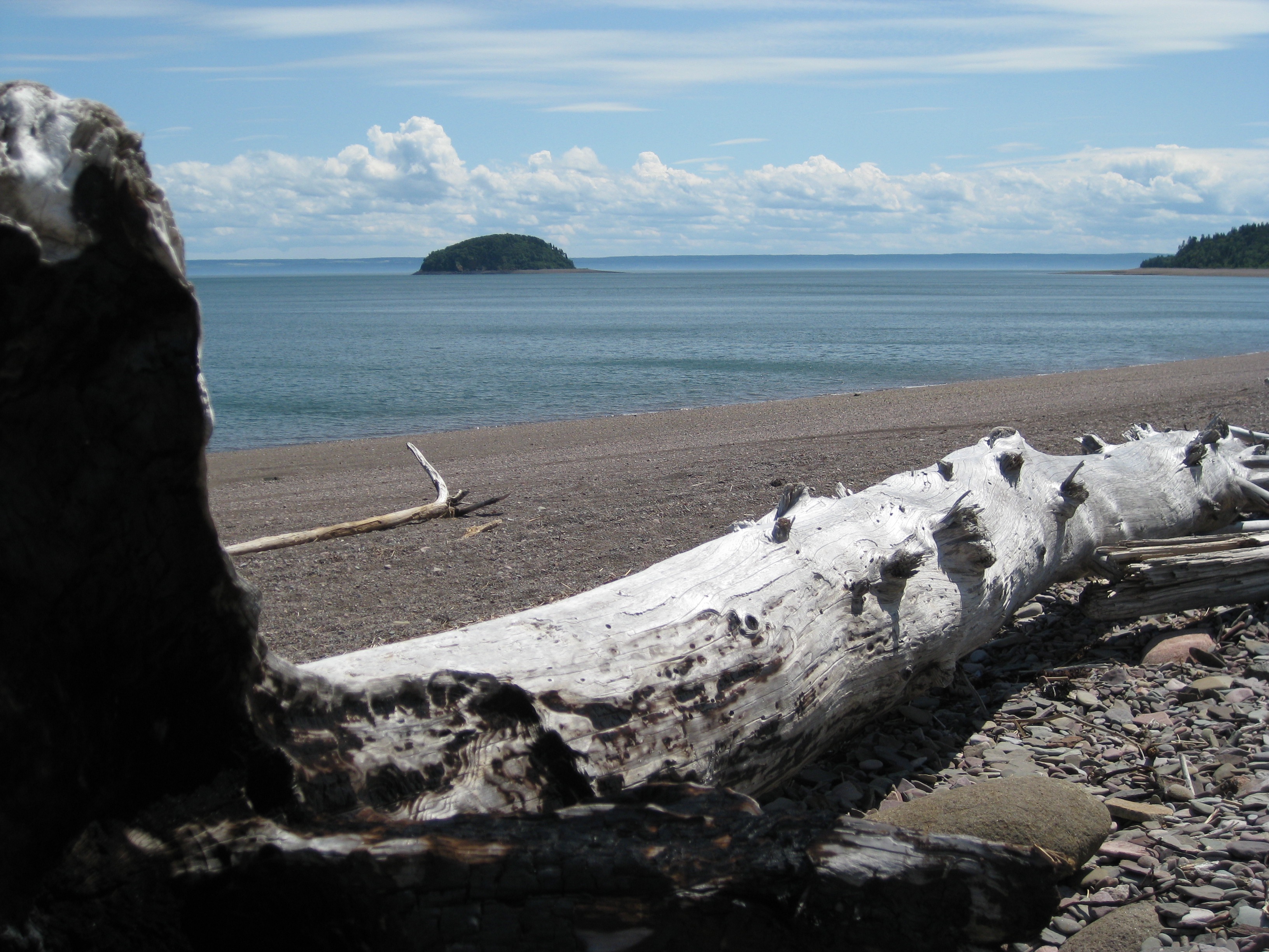
Scenic View at Spencer's Island Light
Scenic View at Spencer's Island Light
Scenic View at Spencer's Island Light

Blueberry fields, Diligent River, Nova Scotia... Iscorama anamorphic.
Age of Sail Heritage Centre

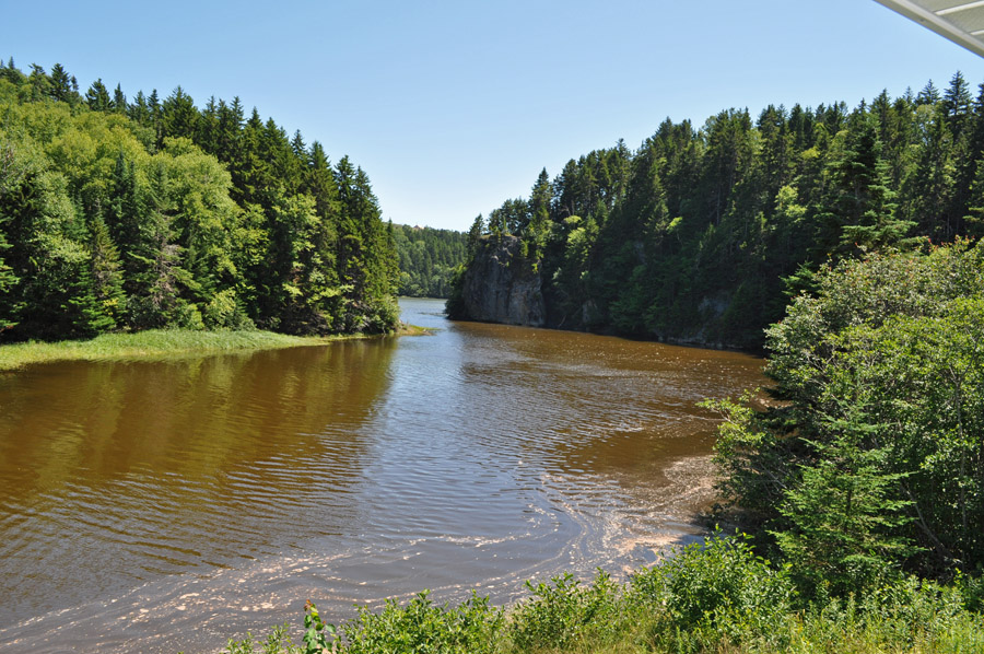
Little creek

Apple River, Nova Scotia
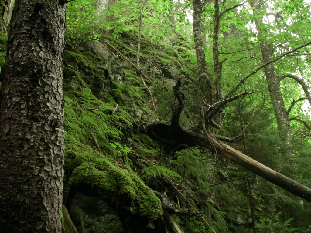
On the hike
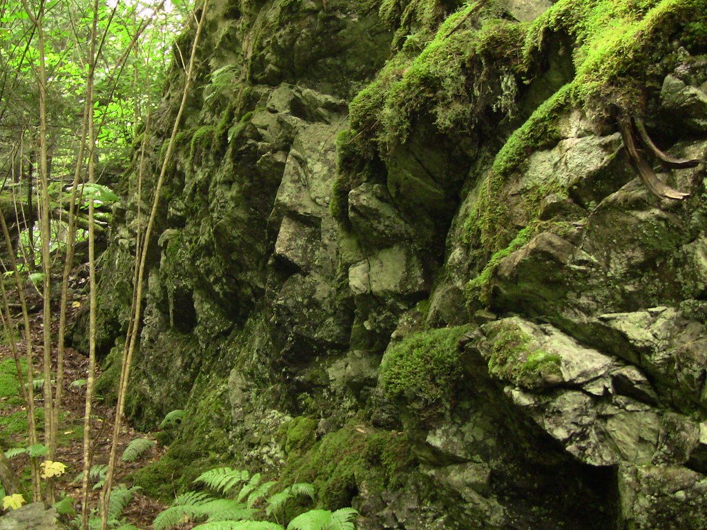
More green rocks
DSC_0985.jpg
_DSC3915.jpg

Rainy morning, Bay of Fundy
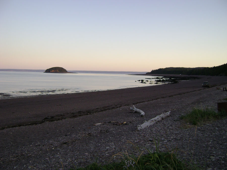
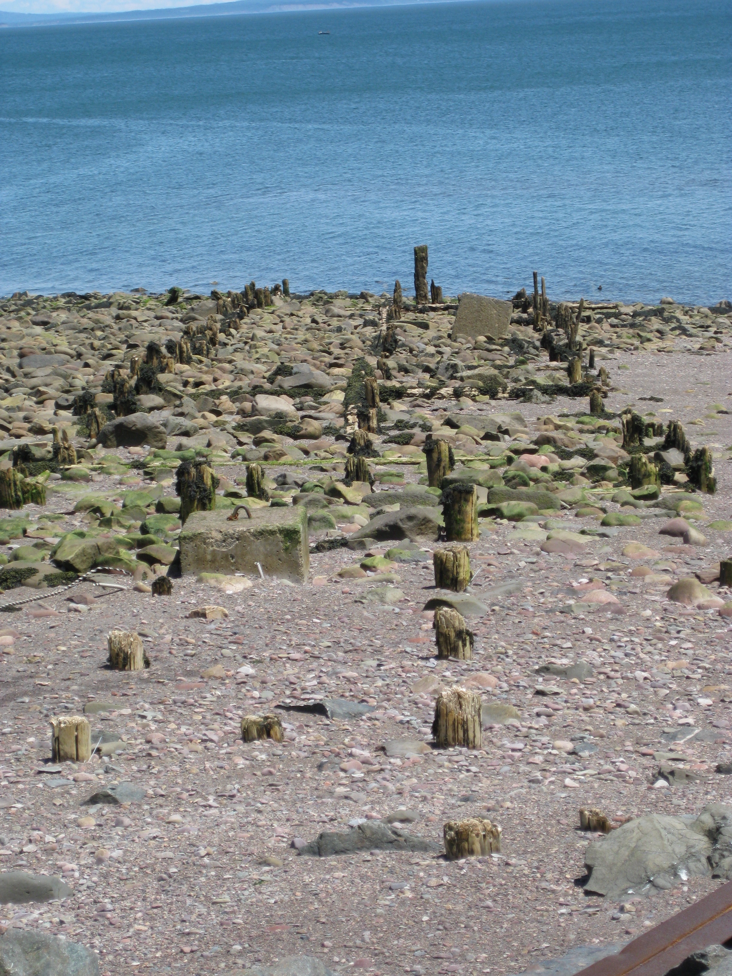
Beach at Spencers Island
The Hills Are Alive
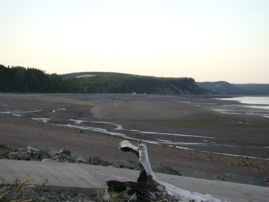
Beach at Spencers Island
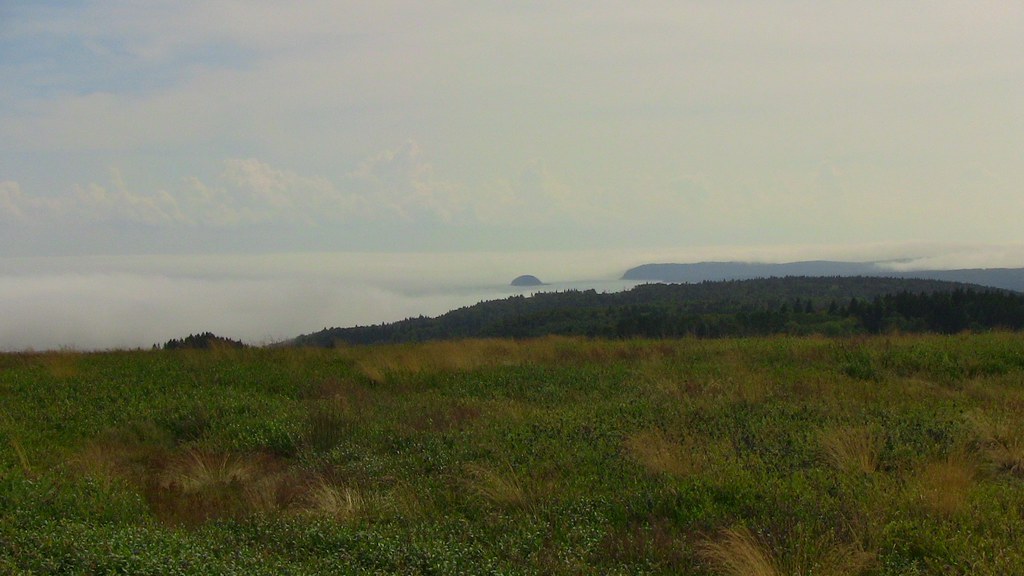
Gathering mists
Topographic Map of Cumberland, Subd. A, NS, Canada
Find elevation by address:

Places in Cumberland, Subd. A, NS, Canada:
Southampton
Advocate Harbour
River Hebert
Harrison Settlement Rd, Diligent River, NS B0M 1H0, Canada
Brookville
Diligent River
Sand River
Places near Cumberland, Subd. A, NS, Canada:
Brookville
NS-, Advocate Harbour, NS B0M 1A0, Canada
Sand River
8790 Ns-209
Diligent River
1100 W Bay Rd
Harrison Settlement Rd, Diligent River, NS B0M 1H0, Canada
W Halls Harbour Rd, Centreville, NS B0P 1J0, Canada
Kings, Subd. B
3674 Ns-359
185 Al Bennett Rd
Marys Point Rd, Harvey, NB E4H 2M8, Canada
Scots Bay
Boars Back Rd, Southampton, NS B0M 1W0, Canada
40 Gospel Woods Rd, Centreville, NS B0P 1J0, Canada
NS-, Canning, NS B0P 1H0, Canada
1146 Gospel Woods Rd
Hopewell March Rd, Hopewell Hill, NB E4H 3M8, Canada
2420 Western Ave
94 Lambs Hill Rd
Recent Searches:
- Elevation of Corso Fratelli Cairoli, 35, Macerata MC, Italy
- Elevation of Tallevast Rd, Sarasota, FL, USA
- Elevation of 4th St E, Sonoma, CA, USA
- Elevation of Black Hollow Rd, Pennsdale, PA, USA
- Elevation of Oakland Ave, Williamsport, PA, USA
- Elevation of Pedrógão Grande, Portugal
- Elevation of Klee Dr, Martinsburg, WV, USA
- Elevation of Via Roma, Pieranica CR, Italy
- Elevation of Tavkvetili Mountain, Georgia
- Elevation of Hartfords Bluff Cir, Mt Pleasant, SC, USA