Elevation of Oxford Junction, NS B0M 1R0, Canada
Location: Canada > Nova Scotia > Cumberland County > Cumberland, Subd. D >
Longitude: -63.883856
Latitude: 45.69906
Elevation: 16m / 52feet
Barometric Pressure: 101KPa
Elevation Map:
Satellite Map:
Related Photos:

Springhill,NS

Springhill NS

Rainy day, Springhill,NS

Springhill Miners Memorial

Morris Street at Night

Springhill, NS

View of river

Pentax SMC M120
Canadian Roadtrip (225)

Blueberry fields

IMG_1991 Deer in a Field

IMG_1967 Deer in a Field

Back field panorama

IMG_2005 Deer in a Field

IMG_1946 Deer in a Field

_-41

IMG_7988 Deer in an Oxford Field

IMG_1975 Deer in a Field
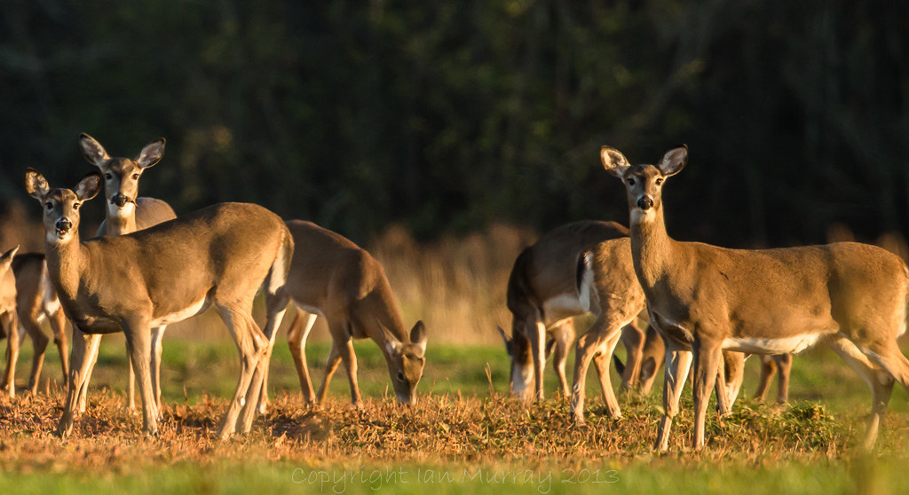
IMG_1959 Deer in a Field

IMG_1962 Deer in a Field

IMG_1971 Deer in a Field

IMG_7970 Deer in an Oxford Field
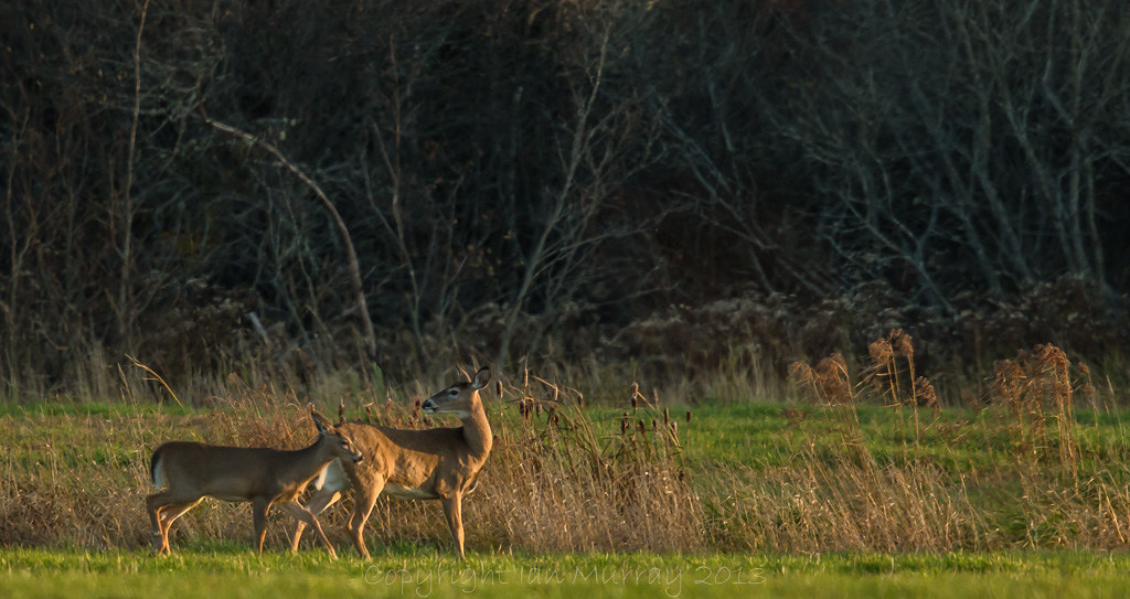
IMG_2036 Deer in a Field

Collingwood Corner

Old "black track"

IMG_7989 Deer in an Oxford Field

Fly fishing, Oxford NS

IMG_1958 Deer in a Field
Topographic Map of Oxford Junction, NS B0M 1R0, Canada
Find elevation by address:

Places near Oxford Junction, NS B0M 1R0, Canada:
41 Track Rd
4146 Main St
Tim Hortons
5072 Main St
Oxford
32 James St
5449 Little River Rd
NS-, Northport, NS B0L 1E0, Canada
Collingwood Corner
647 Wentworth Collingwood Rd
Wentworth Collingwood Rd, Collingwood Corner, NS B0M 1E0, Canada
124 Wentworth Collingwood Rd
Cumberland County
4 Klondike Rd, Amherst, NS B4H 3Y1, Canada
NS-, Amherst, NS B4H 3Y1, Canada
2074 Kolbec Rd
126 North St
Windham Hill Rd, Springhill, NS B0M 1X0, Canada
3 Princess St
5 Junction Rd
Recent Searches:
- Elevation of Corso Fratelli Cairoli, 35, Macerata MC, Italy
- Elevation of Tallevast Rd, Sarasota, FL, USA
- Elevation of 4th St E, Sonoma, CA, USA
- Elevation of Black Hollow Rd, Pennsdale, PA, USA
- Elevation of Oakland Ave, Williamsport, PA, USA
- Elevation of Pedrógão Grande, Portugal
- Elevation of Klee Dr, Martinsburg, WV, USA
- Elevation of Via Roma, Pieranica CR, Italy
- Elevation of Tavkvetili Mountain, Georgia
- Elevation of Hartfords Bluff Cir, Mt Pleasant, SC, USA