Elevation of Coastal Rd, Brooksville, ME, USA
Location: United States > Maine > Hancock County > Brooksville >
Longitude: -68.738216
Latitude: 44.3415802
Elevation: 14m / 46feet
Barometric Pressure: 101KPa
Elevation Map:
Satellite Map:
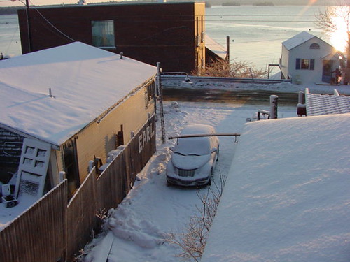
Related Photos:
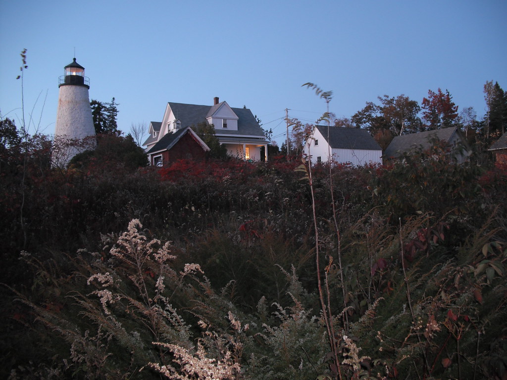
Dyce Head Light in Castine, Maine

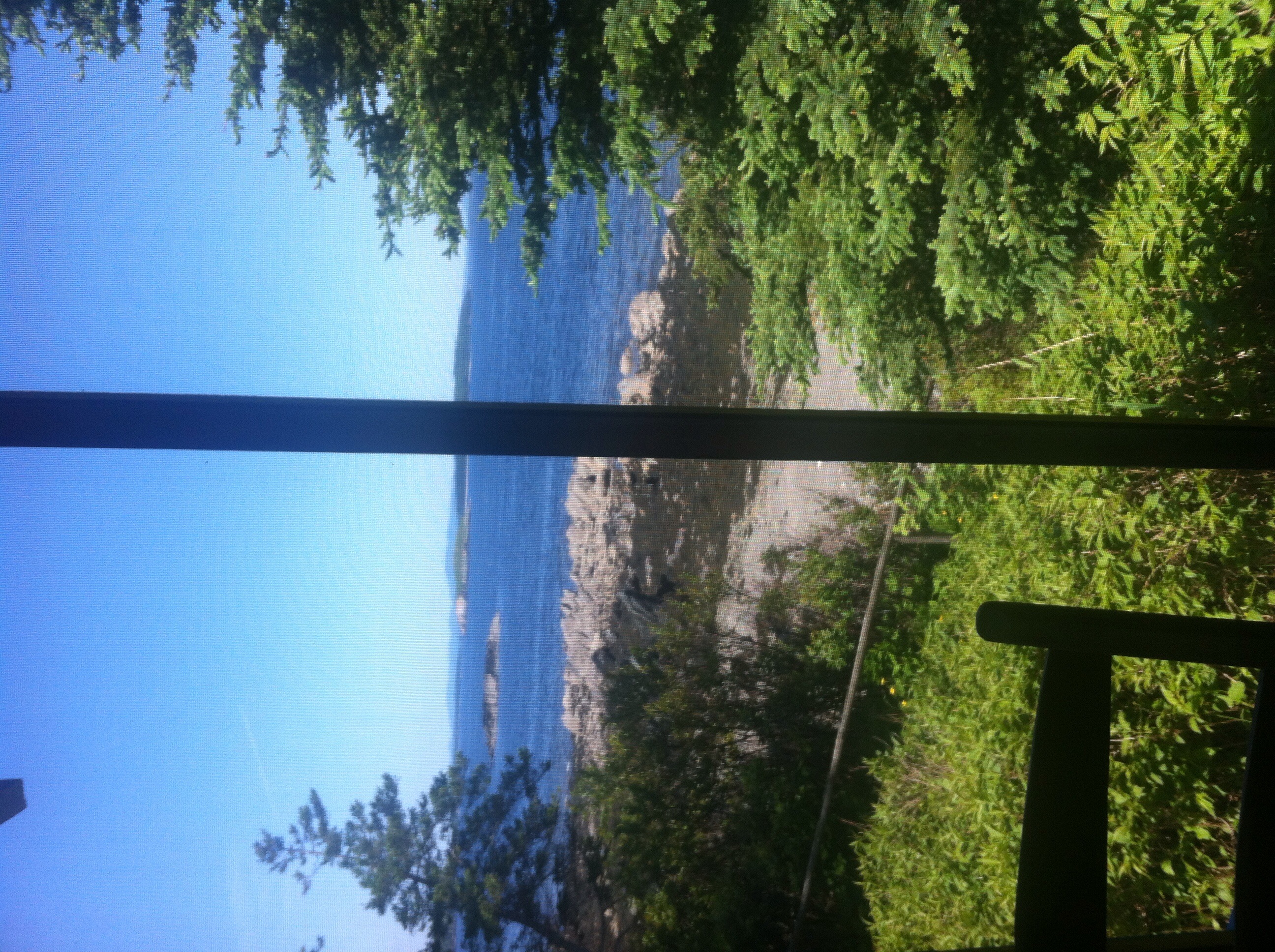
Fall coastal views

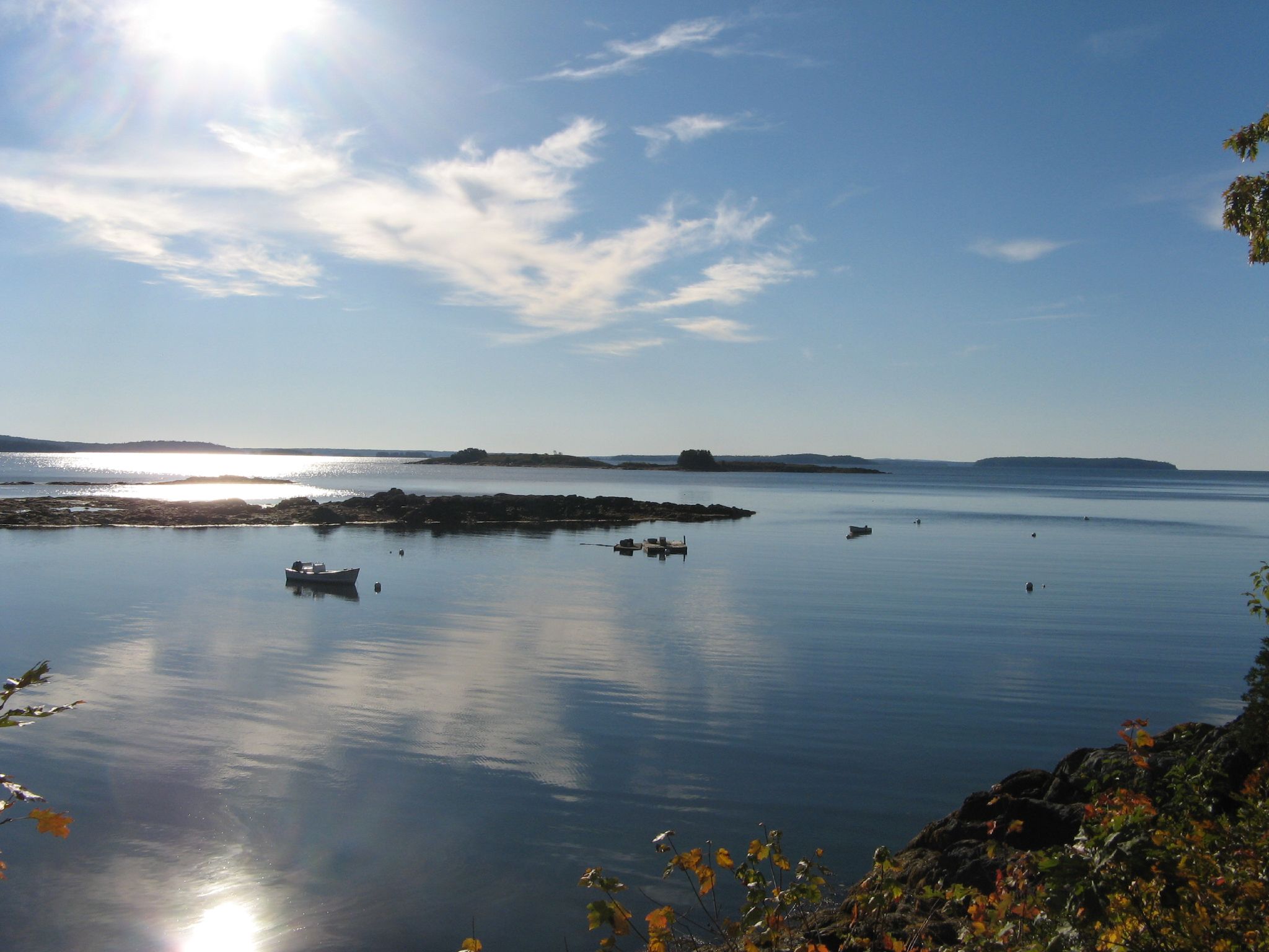
Coastal October views from Islesboro
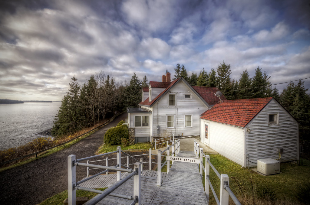
Keeper's Access
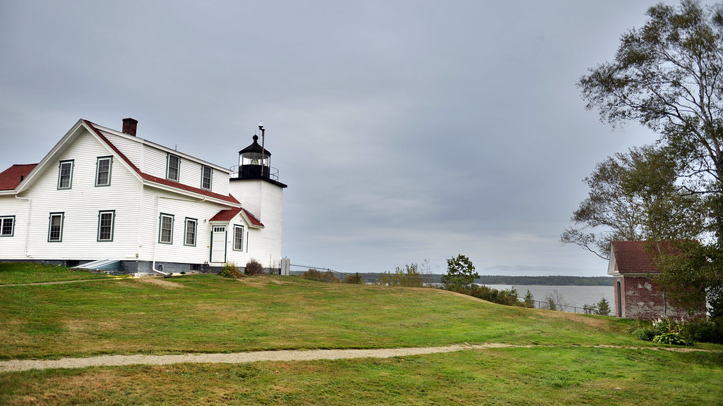
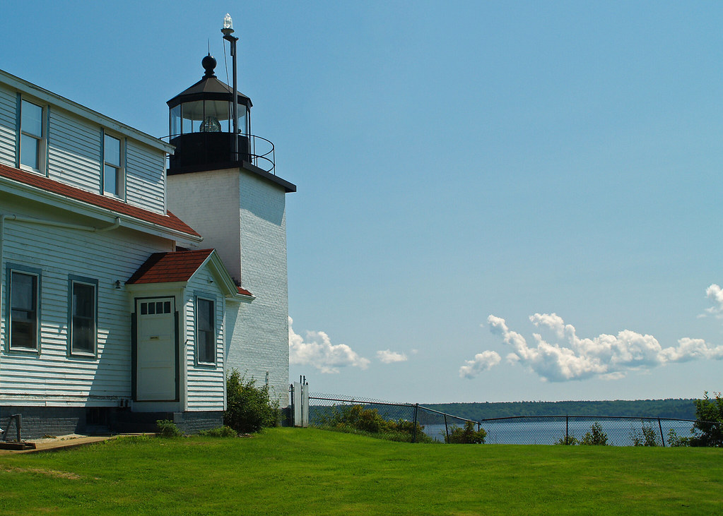
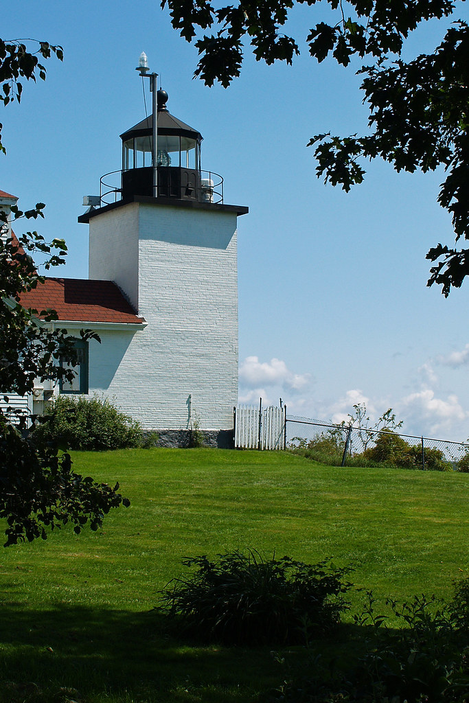
Fort Point Lighthouse, Maine

Hardhead Island in northeastern Penobscot Bay, Maine

R_20090831181356_162-Edit
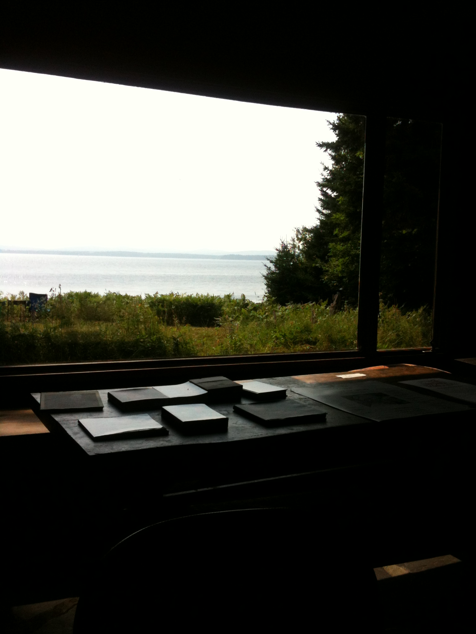
View from the Good Life Center

The lighthouse at Fort Point, Maine

Aerial View of Deer Isle, Maine
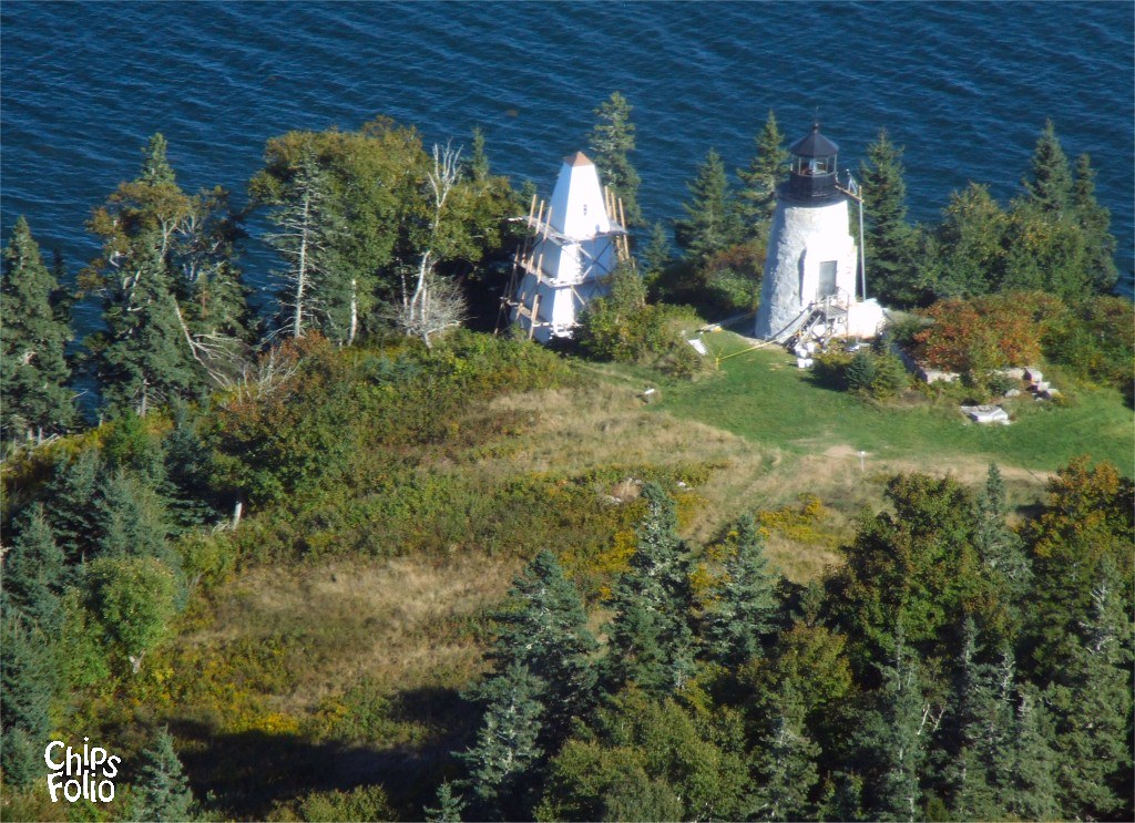
Aerial View of Eagle Island Light
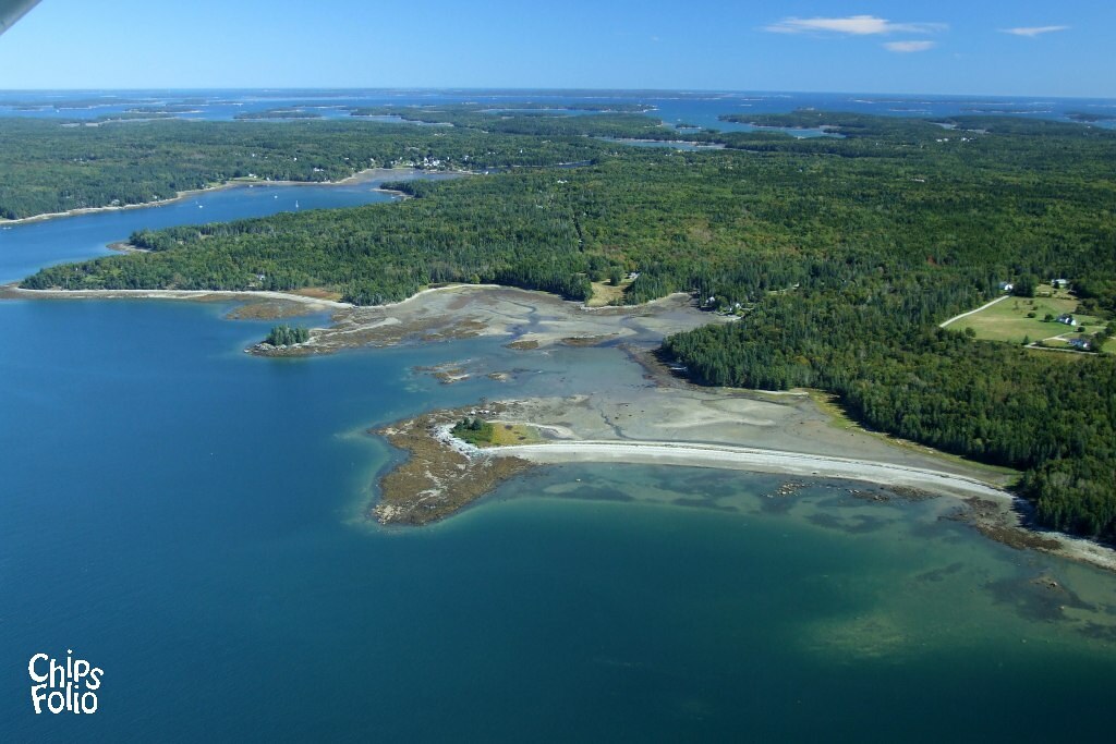
Aerial View of Deer Isle, Maine

Aerial View (1) of the Deer Isle - Sedgwick Bridge
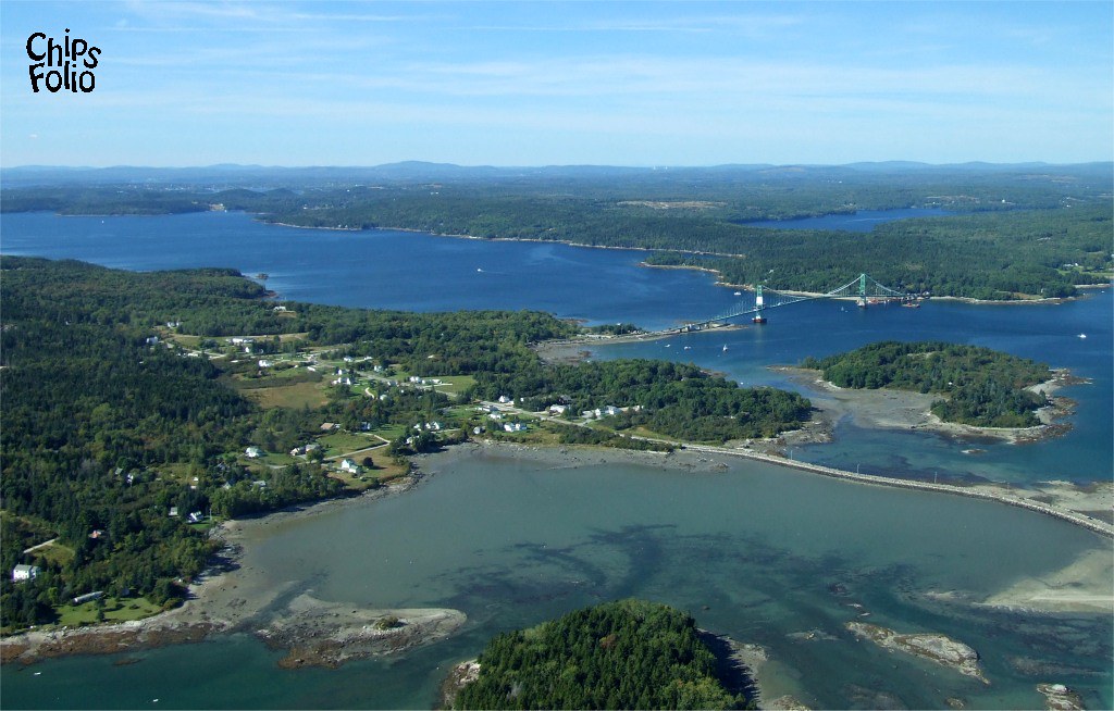
Aerial View of Little Deer Isle and the Deer Isle - Sedgwick Bridge
Penobscot View
the view from the sleeping porch
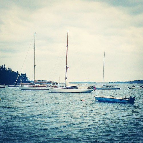
In port and our view. Waiting for rain and storm. May be here next twenty four hours. Time to figure out how to relax.
View from cabin at Hiram Blake Camp

View From A Hill
A Shaded View
View from Bah's Bakehouse

Marriner's Park at Dawn

British Canal
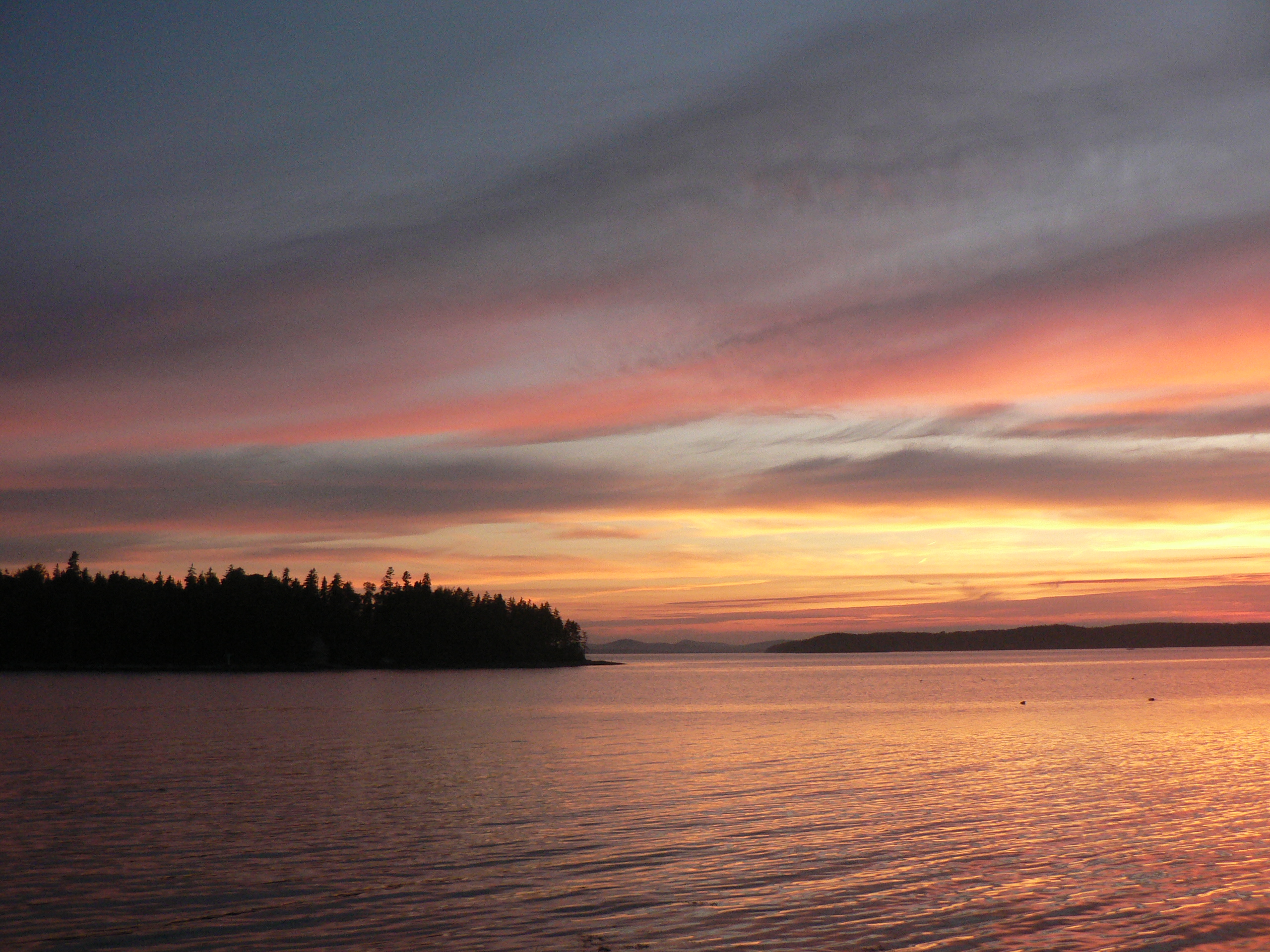
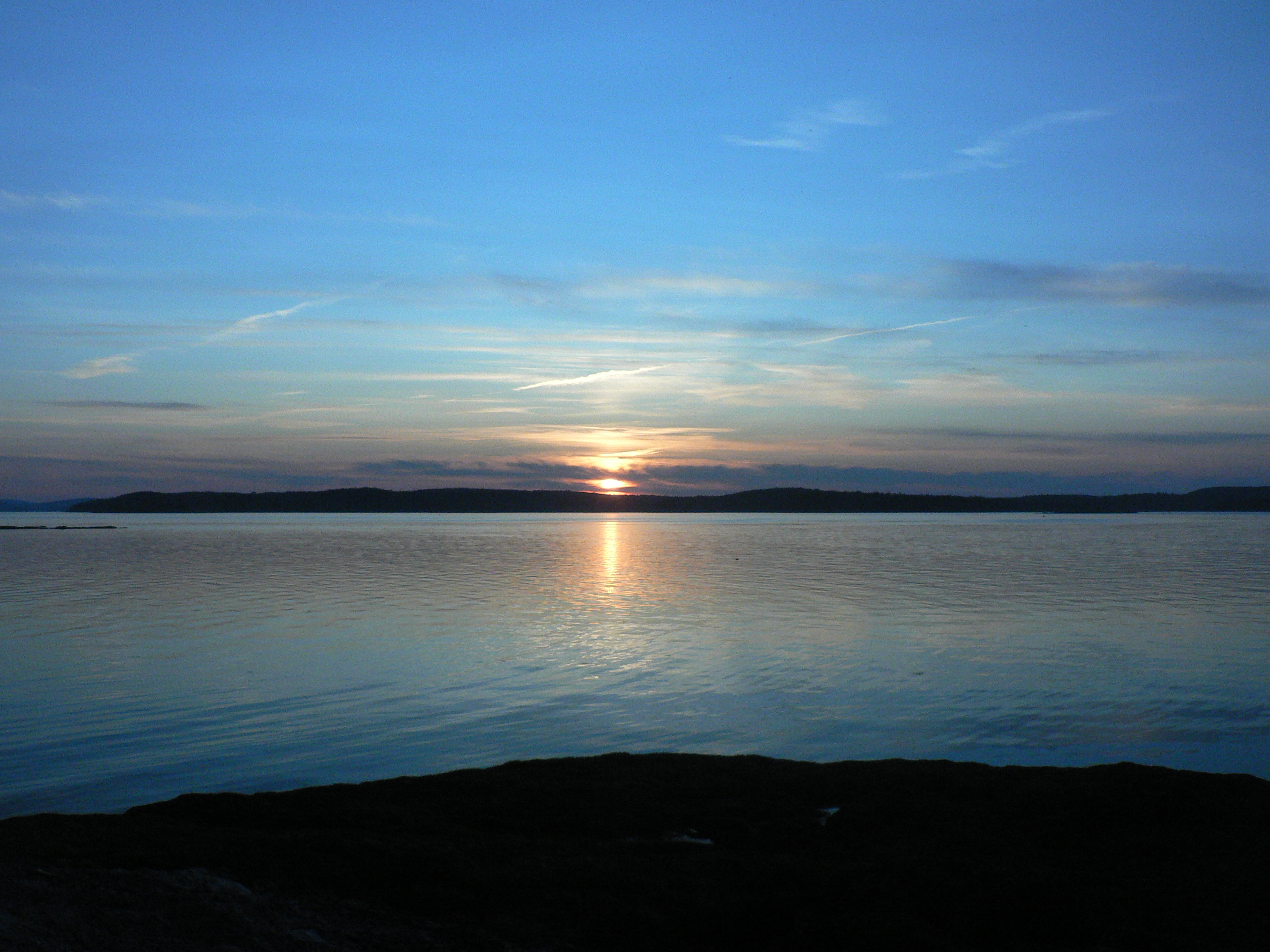
Thresholds sunset - Little Deer Isle ME 20090721 066
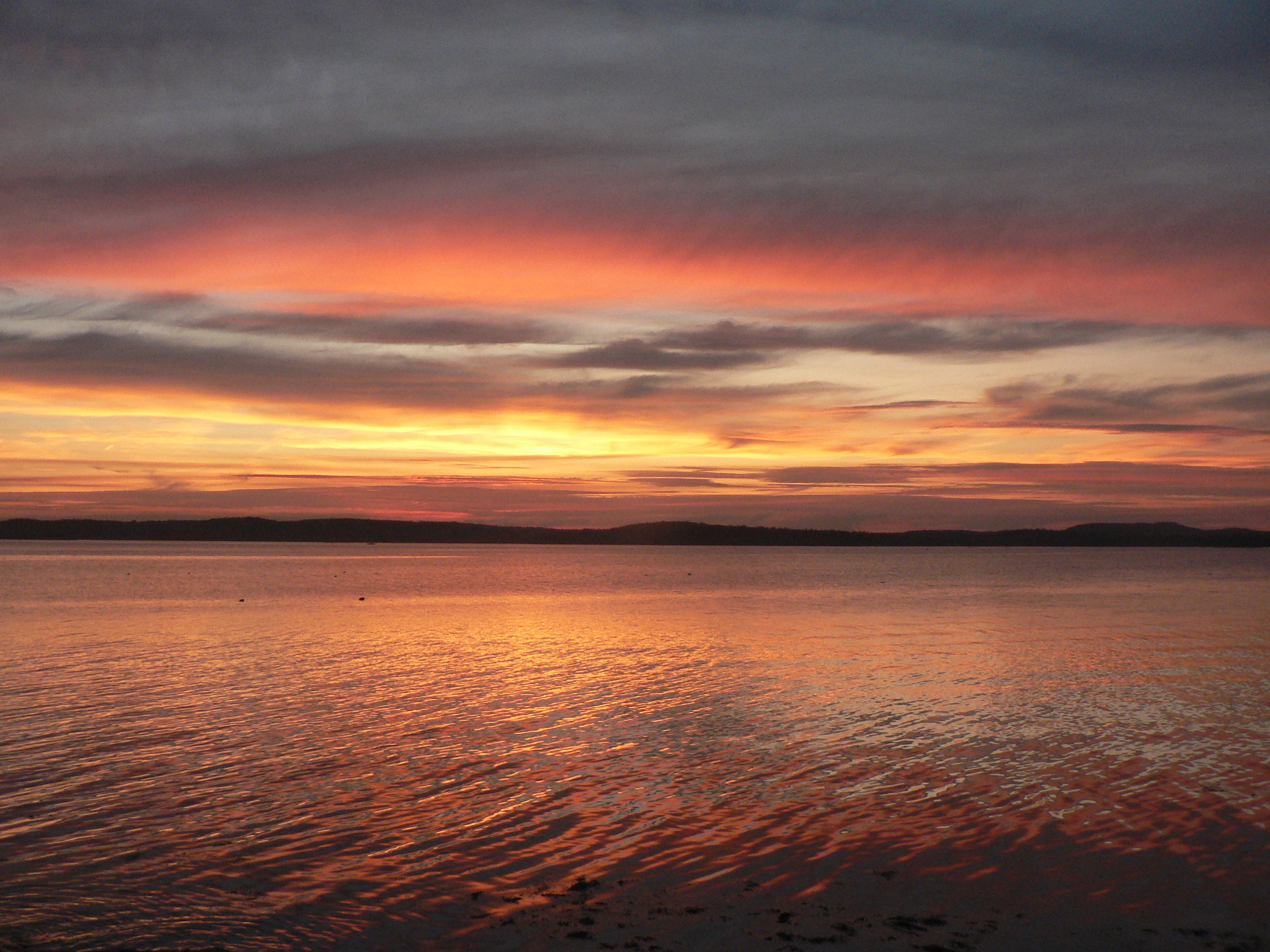
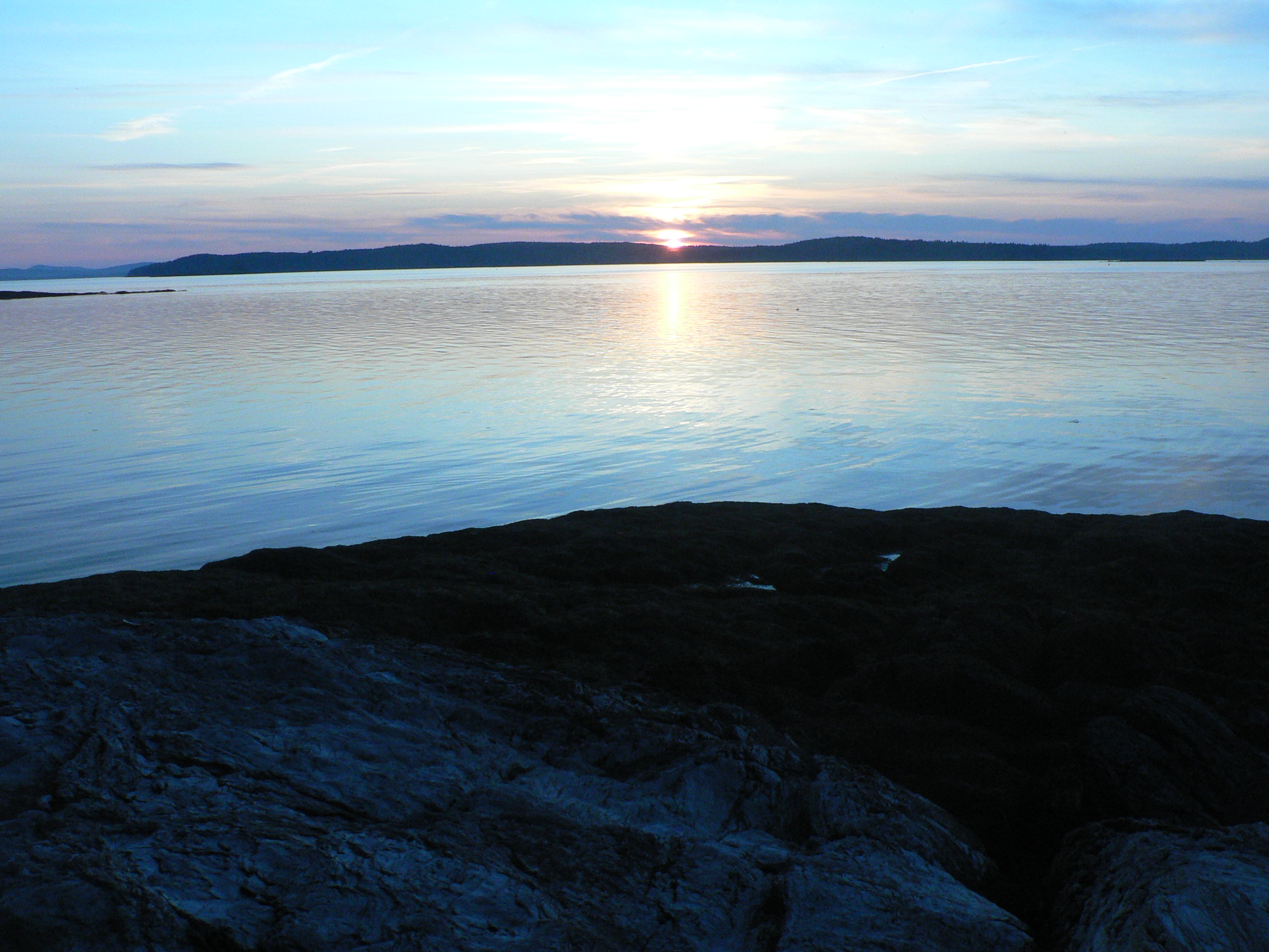
Thresholds sunset - Little Deer Isle ME 20090721 064
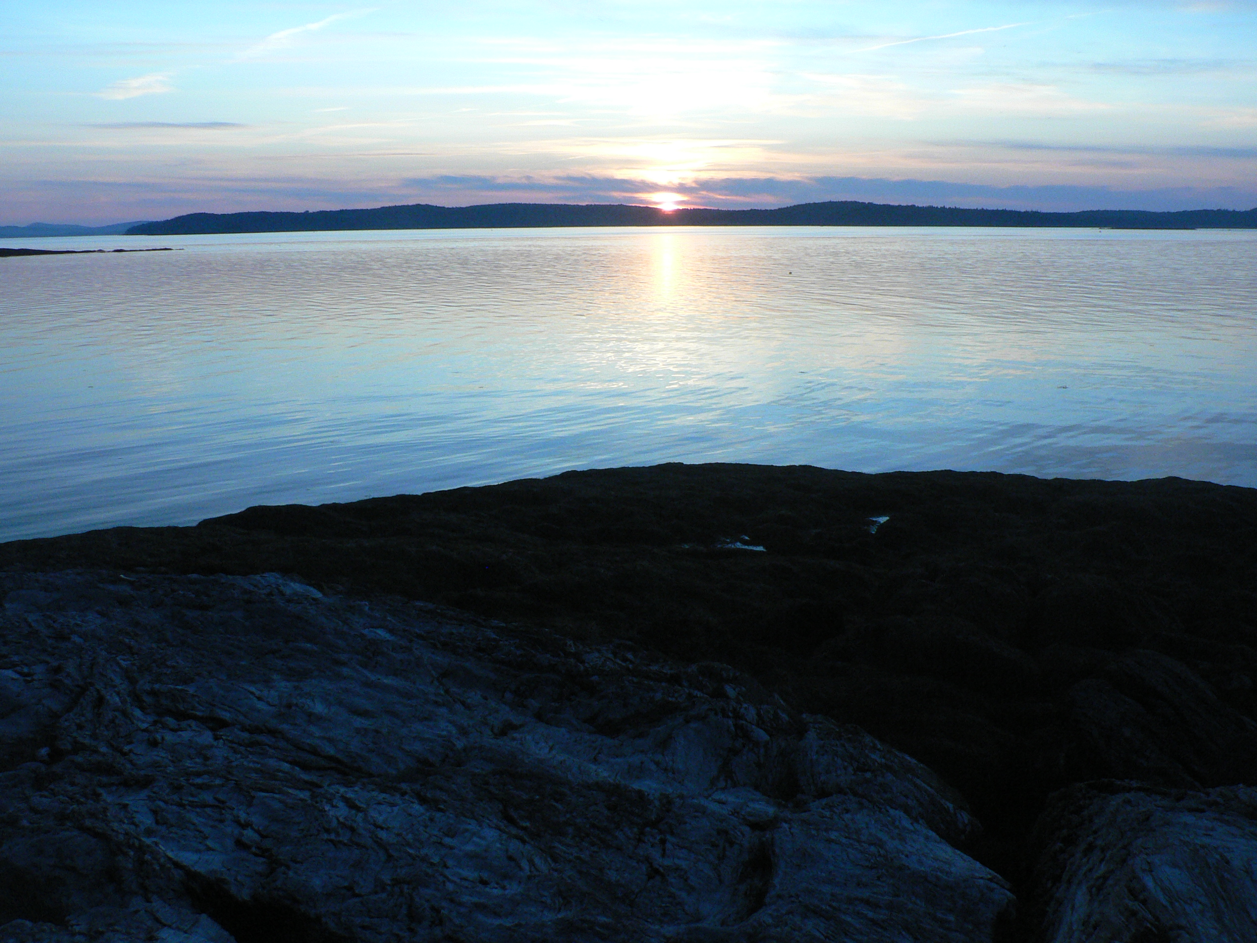
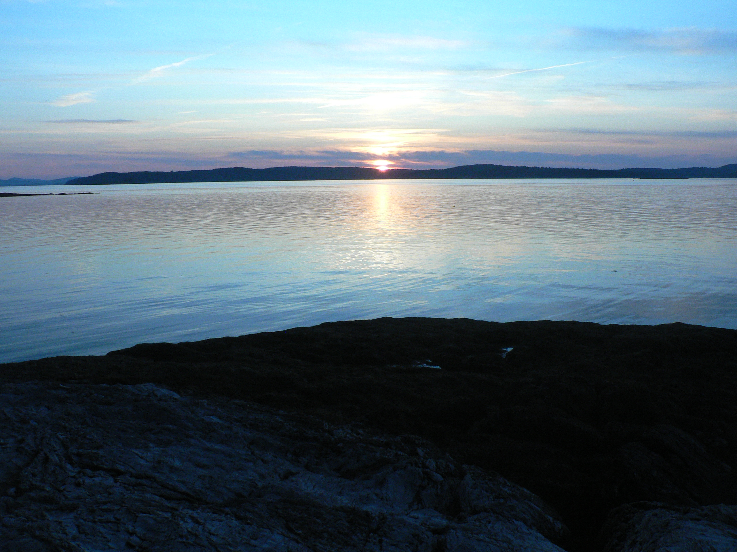
Thresholds sunset - Little Deer Isle ME 20090711 036
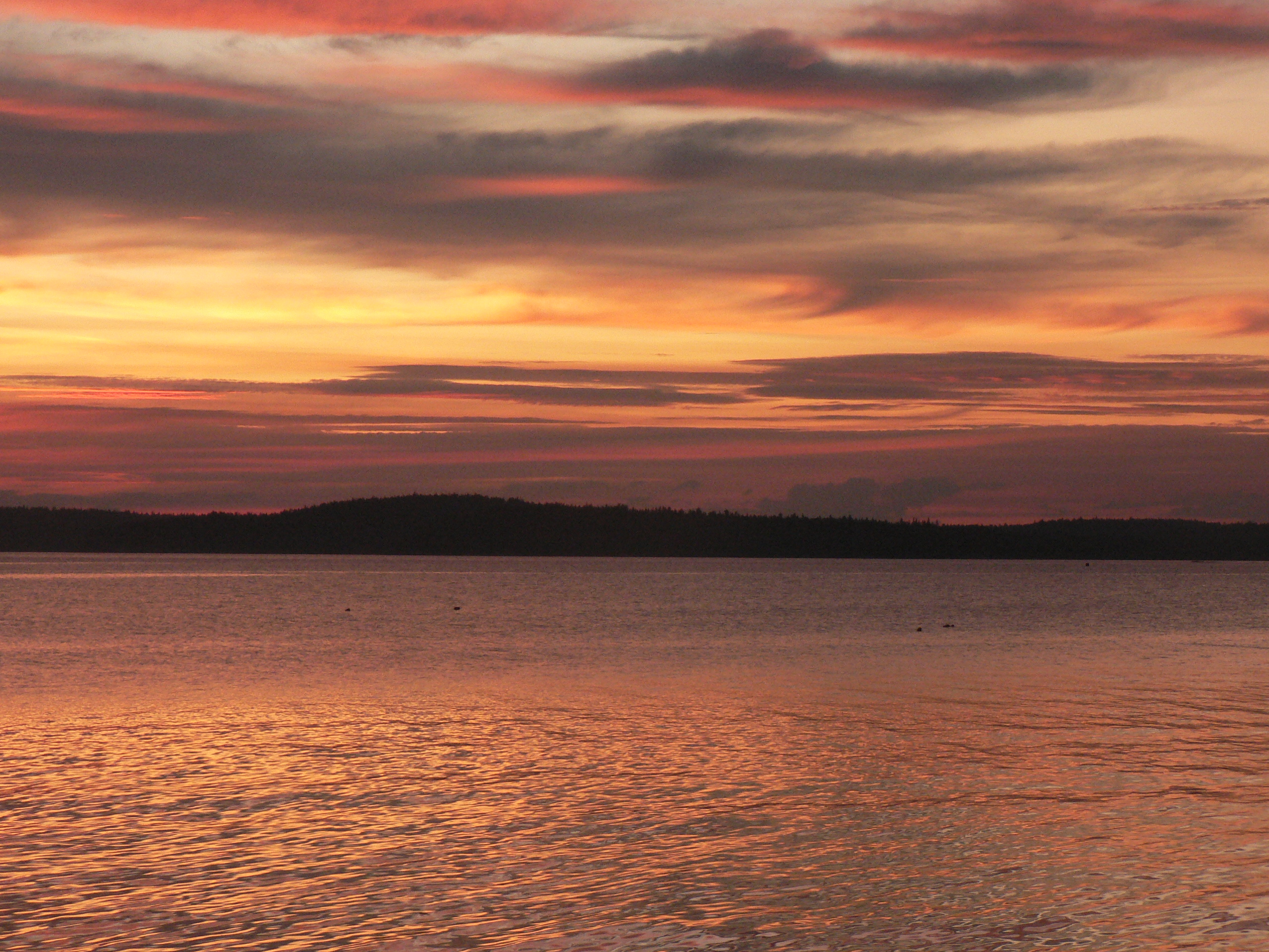
Thresholds sunset - Little Deer Isle ME 20090711 051
Thresholds sunset - Little Deer Isle ME 20090711 050
Thresholds sunset - Little Deer Isle ME 20090711 034
Thresholds sunset - Little Deer Isle ME 20090711 055
Thresholds sunset - Little Deer Isle ME 20090711 035

Thresholds sunset - Little Deer Isle ME 20090711 054
Thresholds sunset - Little Deer Isle ME 20090711 037

Thresholds sunset - Little Deer Isle ME 20090711 041
Thresholds sunset - Little Deer Isle ME 20090711 038
Thresholds sunset - Little Deer Isle ME 20090721 077

Thresholds sunset - Little Deer Isle ME 20090711 039
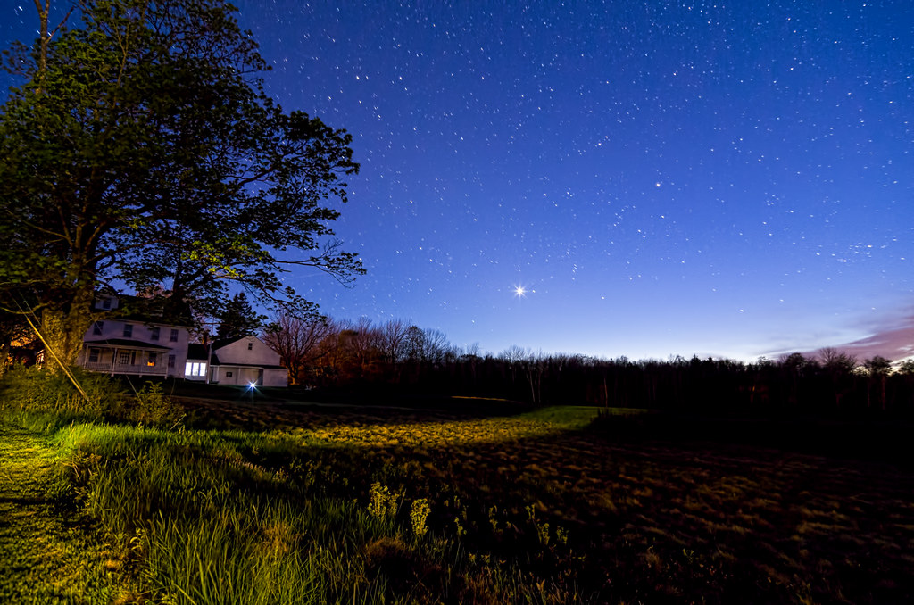
Deer Isle Night 7480
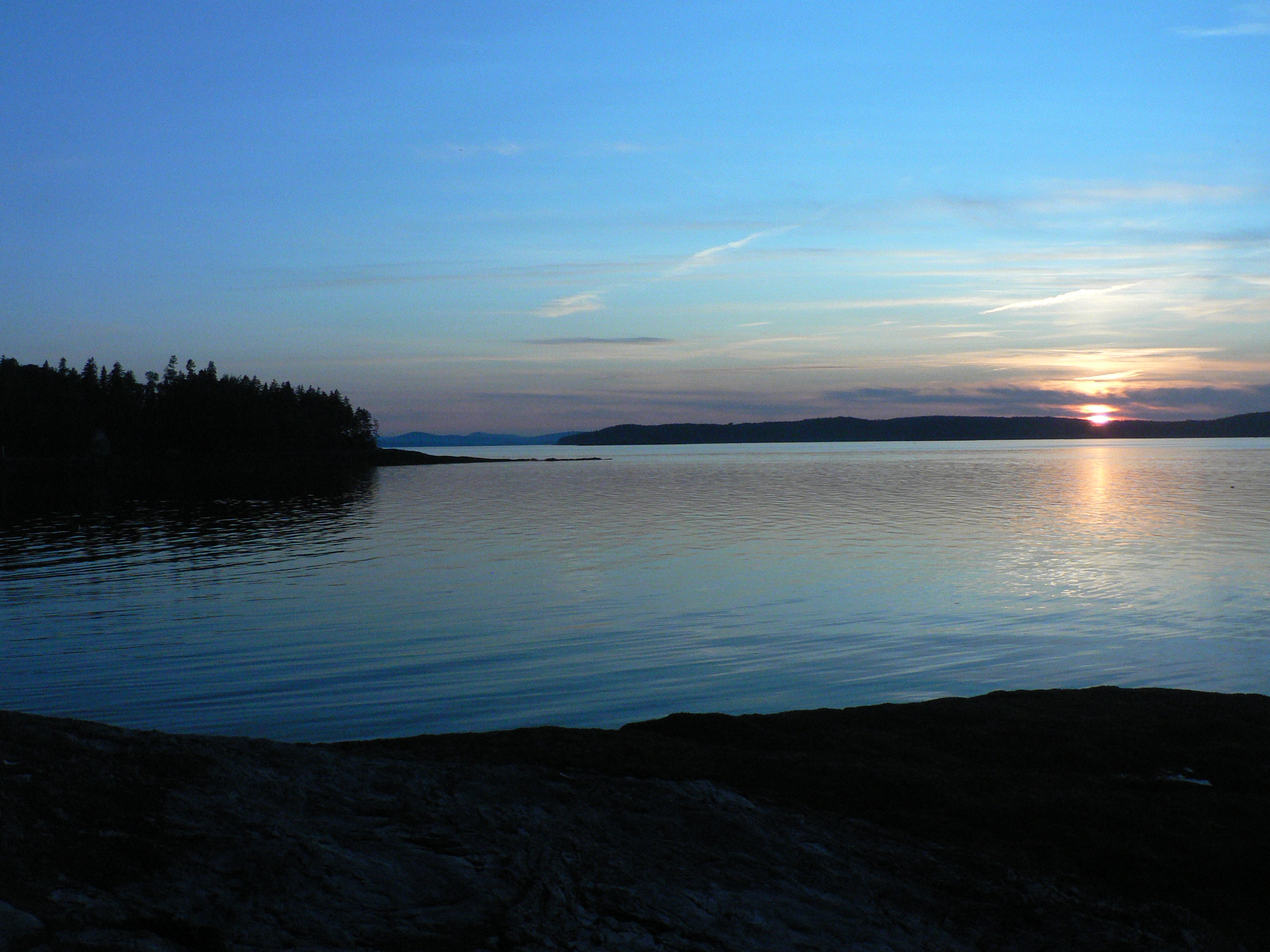
Thresholds sunset - Little Deer Isle ME 20090711 040
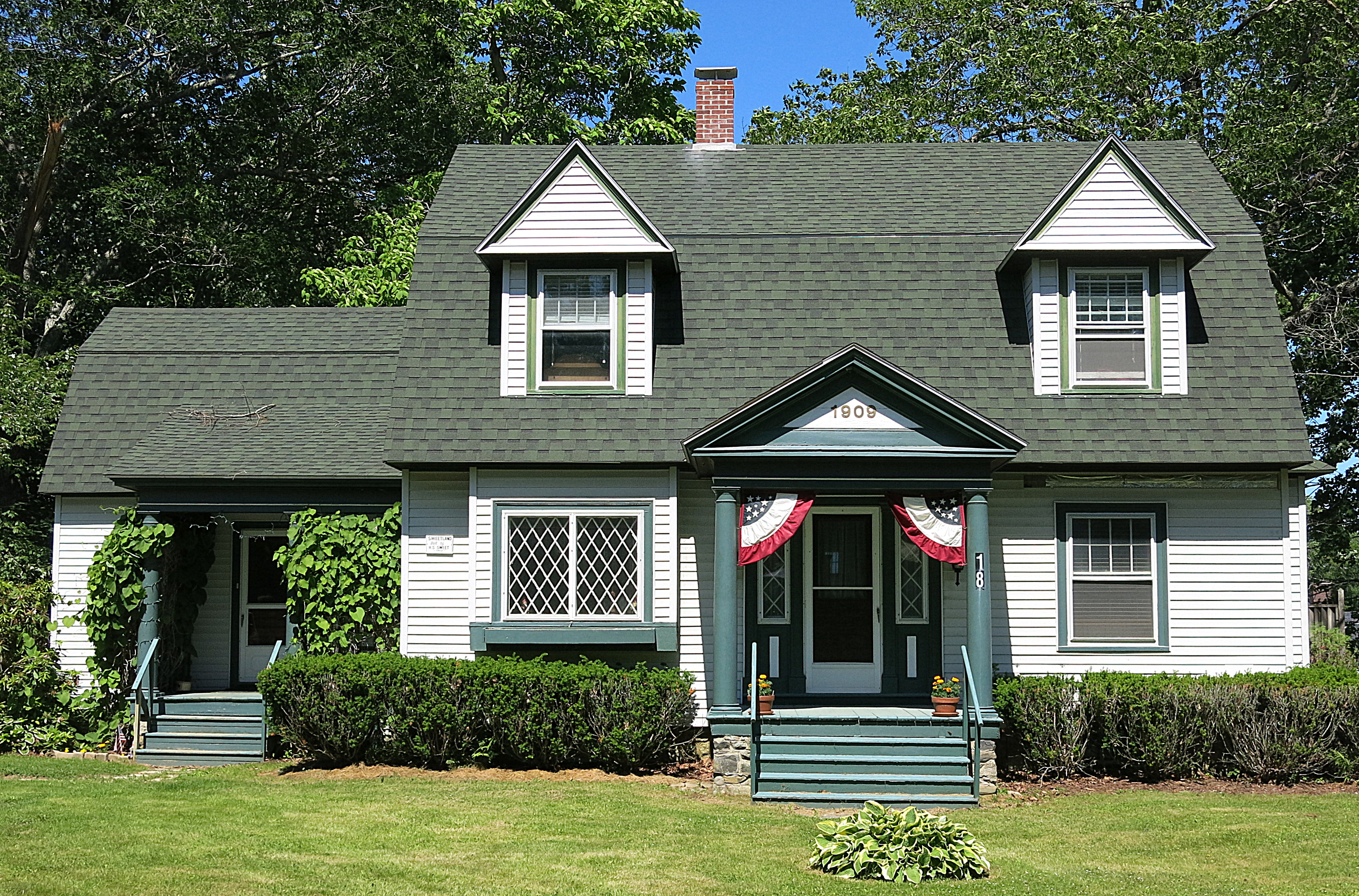
1909: A house in Blue Hill, Maine, USA
Van Buren's - Little Deer Isle ME 20090714091
Topographic Map of Coastal Rd, Brooksville, ME, USA
Find elevation by address:

Places near Coastal Rd, Brooksville, ME, USA:
15 Timothy Ln
1001 Coastal Rd
706 Coastal Rd
258 Coastal Rd
62 Winneganek Way
310 Cape Rosier Rd
Oakland House Cottages By The Side Of The Sea
435 Herrick Rd
494 Cape Rosier Rd
186 Varnum Rd
494 Cape Rosier Rd
554 Cape Rosier Rd
41 Sunset Rd
63 Dog Island Rd
83 Dog Island Rd
151 Coastal Rd
151 Coastal Rd
68 Flatlander Ave
Brooksville
118 Coastal Rd
Recent Searches:
- Elevation of Corso Fratelli Cairoli, 35, Macerata MC, Italy
- Elevation of Tallevast Rd, Sarasota, FL, USA
- Elevation of 4th St E, Sonoma, CA, USA
- Elevation of Black Hollow Rd, Pennsdale, PA, USA
- Elevation of Oakland Ave, Williamsport, PA, USA
- Elevation of Pedrógão Grande, Portugal
- Elevation of Klee Dr, Martinsburg, WV, USA
- Elevation of Via Roma, Pieranica CR, Italy
- Elevation of Tavkvetili Mountain, Georgia
- Elevation of Hartfords Bluff Cir, Mt Pleasant, SC, USA