Elevation of Coalinga Plaza, Coalinga, CA, USA
Location: United States > California > Fresno County > Coalinga >
Longitude: -120.35990
Latitude: 36.1397614
Elevation: 205m / 673feet
Barometric Pressure: 99KPa
Elevation Map:
Satellite Map:
Related Photos:
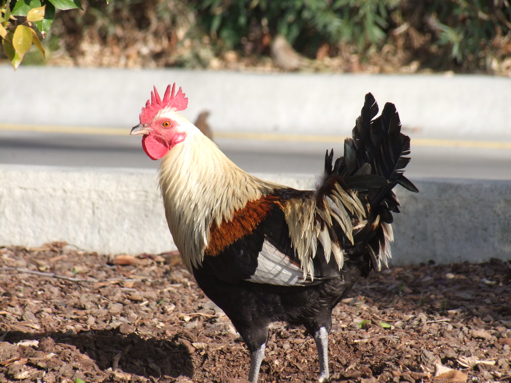
Spotted outside fast-food joint - Saturday, January 03, 2009

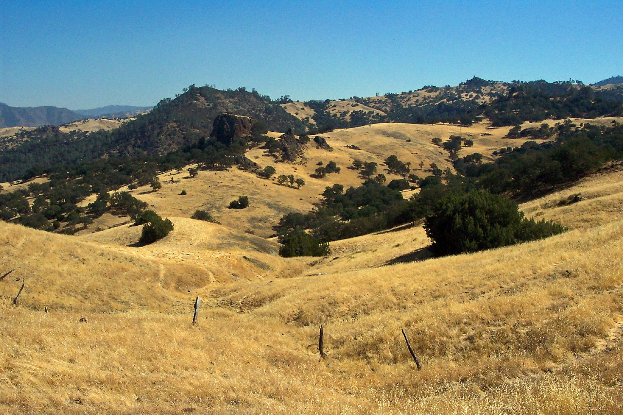
North of Coalinga
Coalinga CA 4014a
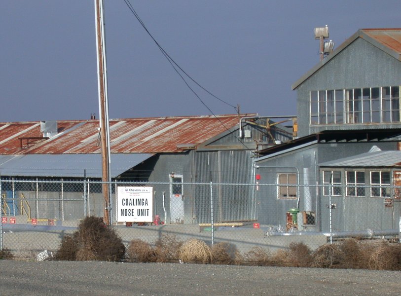
Coalinga oil 3093a

Image 21482.

The Unmarked Hill, The Painted Rock

1988 December _0020
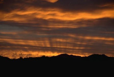
Coalinga Dawn

1988 December _0022

Parkfield Grade North

Coalinga solar (3550)

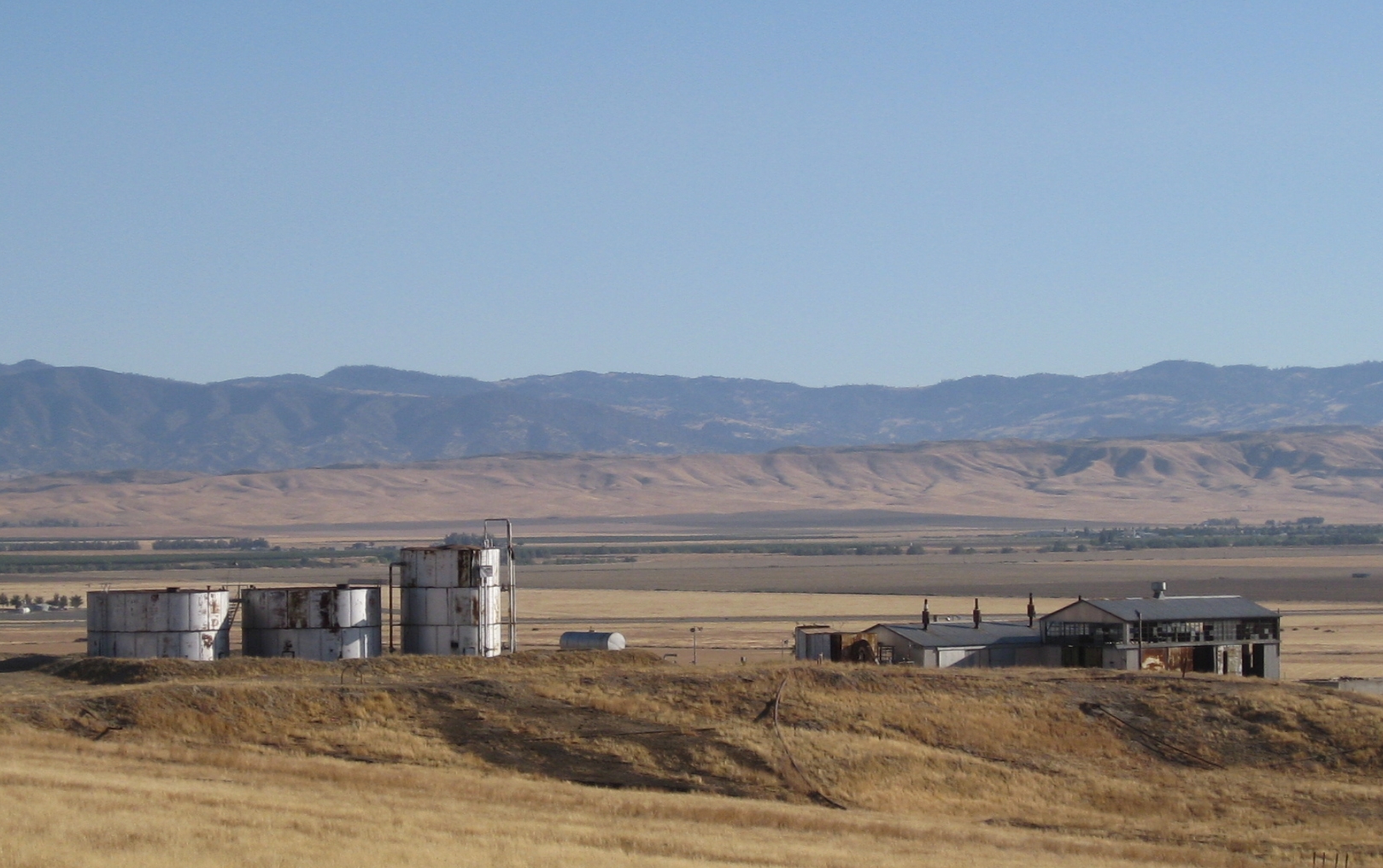
Image 21505.

1988 December _0021

1988 December _0016
Church Rock
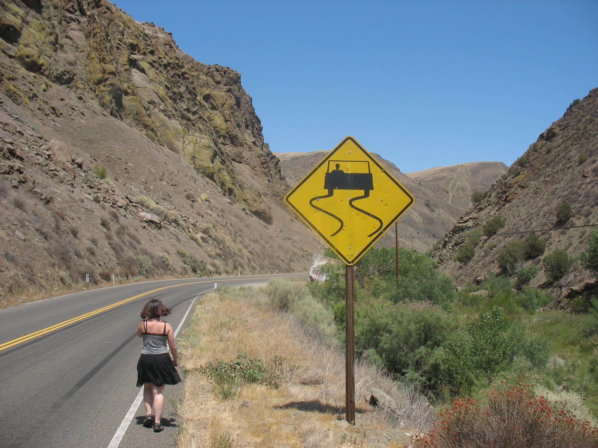
California Highway 198

Juniper Ridge

Meadow in western Fresno Co.

Curry Mountain

Image 21478.
Along the Abandoned Canyon
Passing Through
Topographic Map of Coalinga Plaza, Coalinga, CA, USA
Find elevation by address:

Places near Coalinga Plaza, Coalinga, CA, USA:
Coalinga
West Hills Community College District
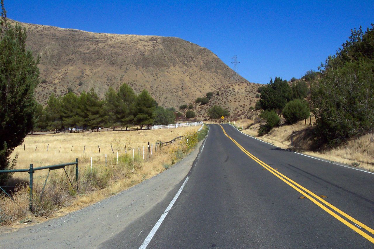
Parkfield Grade, Coalinga, CA, USA
40475 S El Dorado Ave
40475 S El Dorado Ave
40475 S El Dorado Ave
50901 Parkfield Grade
Turkey Flat Rd, San Miguel, CA, USA
Huron
Avenal
Skyline Blvd, Avenal, CA, USA
Hydril Rd, Avenal, CA, USA
W Excelsior Ave, Five Points, CA, USA
30th Ave, Kettleman City, CA, USA
W Clarkson Ave, Cantua Creek, CA, USA
Cantua Creek
76275 Ranchita Ave
Five Points
CA-33, Kettleman City, CA, USA
Kettleman City
Recent Searches:
- Elevation of Corso Fratelli Cairoli, 35, Macerata MC, Italy
- Elevation of Tallevast Rd, Sarasota, FL, USA
- Elevation of 4th St E, Sonoma, CA, USA
- Elevation of Black Hollow Rd, Pennsdale, PA, USA
- Elevation of Oakland Ave, Williamsport, PA, USA
- Elevation of Pedrógão Grande, Portugal
- Elevation of Klee Dr, Martinsburg, WV, USA
- Elevation of Via Roma, Pieranica CR, Italy
- Elevation of Tavkvetili Mountain, Georgia
- Elevation of Hartfords Bluff Cir, Mt Pleasant, SC, USA