Elevation of CO-, Redvale, CO, USA
Location: United States > Colorado > Montrose County > Redvale >
Longitude: -108.37426
Latitude: 38.159948
Elevation: 2036m / 6680feet
Barometric Pressure: 79KPa
Elevation Map:
Satellite Map:
Related Photos:
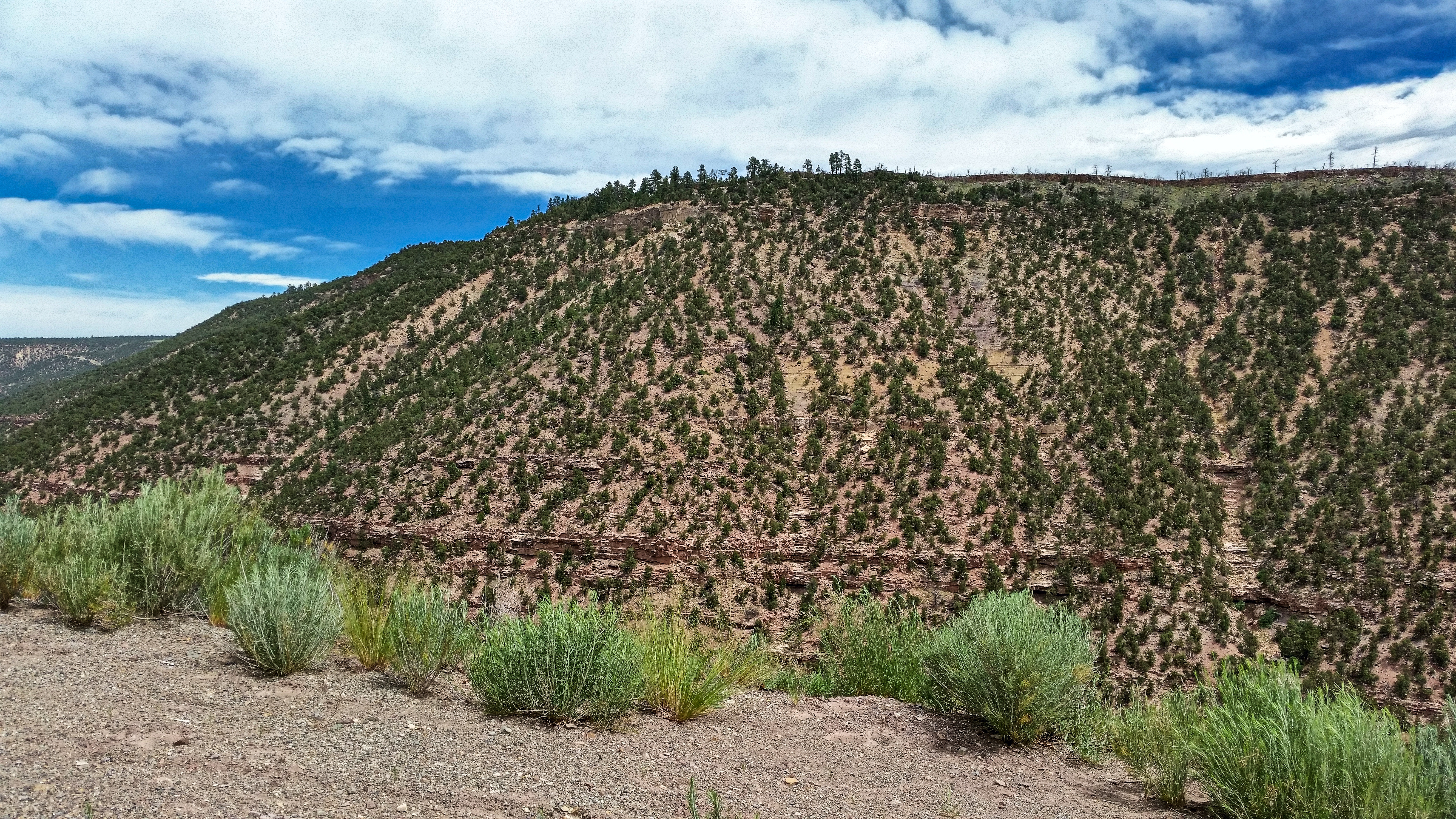
Near Norwood, CO

Huge view on Day 3

View of Lone Cone from home. I've missed that little mountain and all the wide open lush green spaces. A nice change from city life.
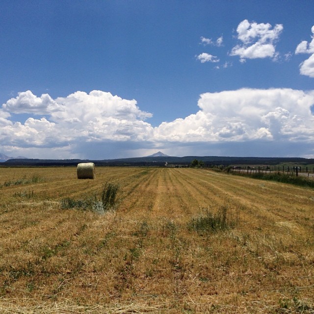
Looking towards Lone Cone #home
20111020_010web.jpg
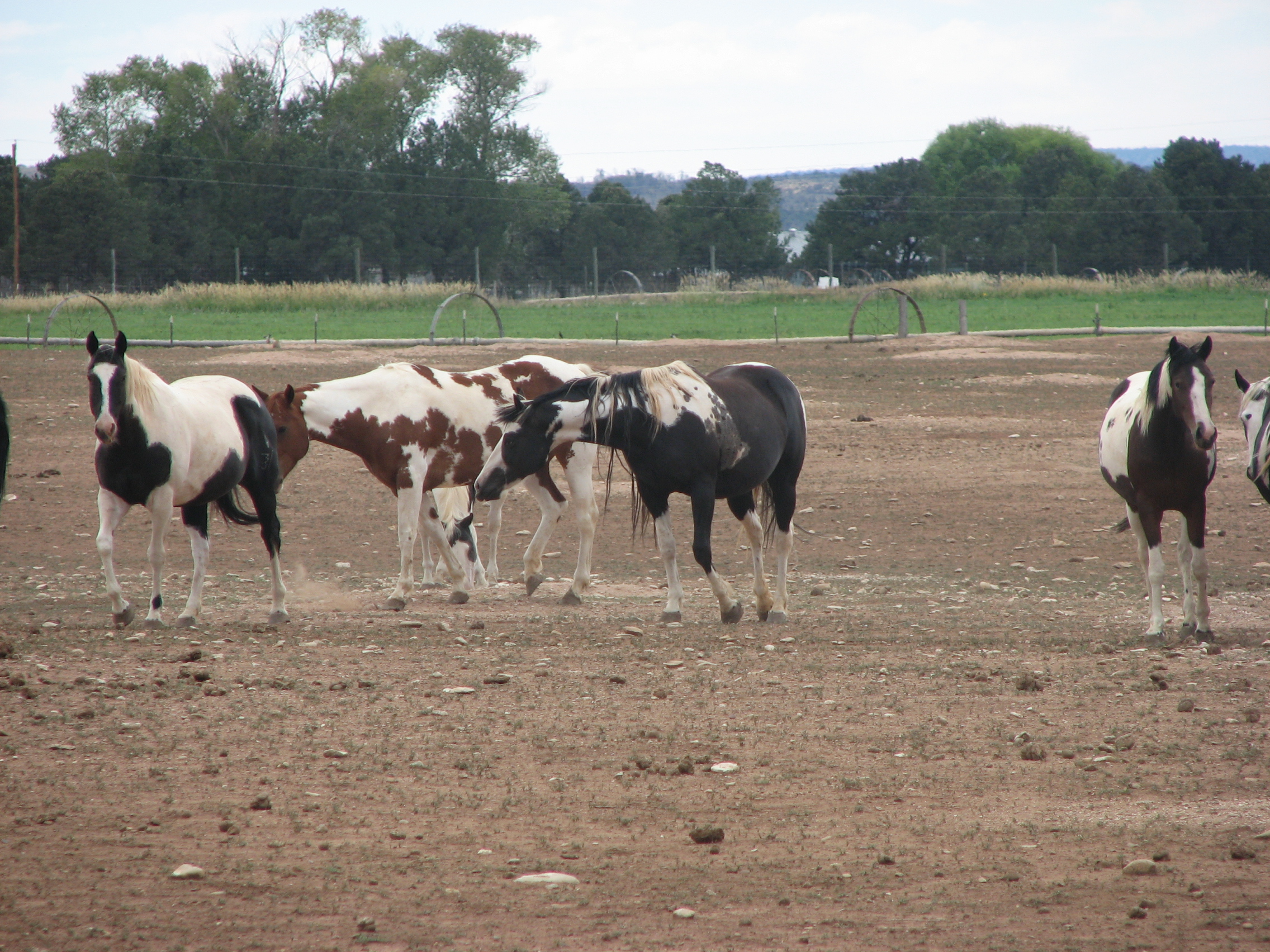
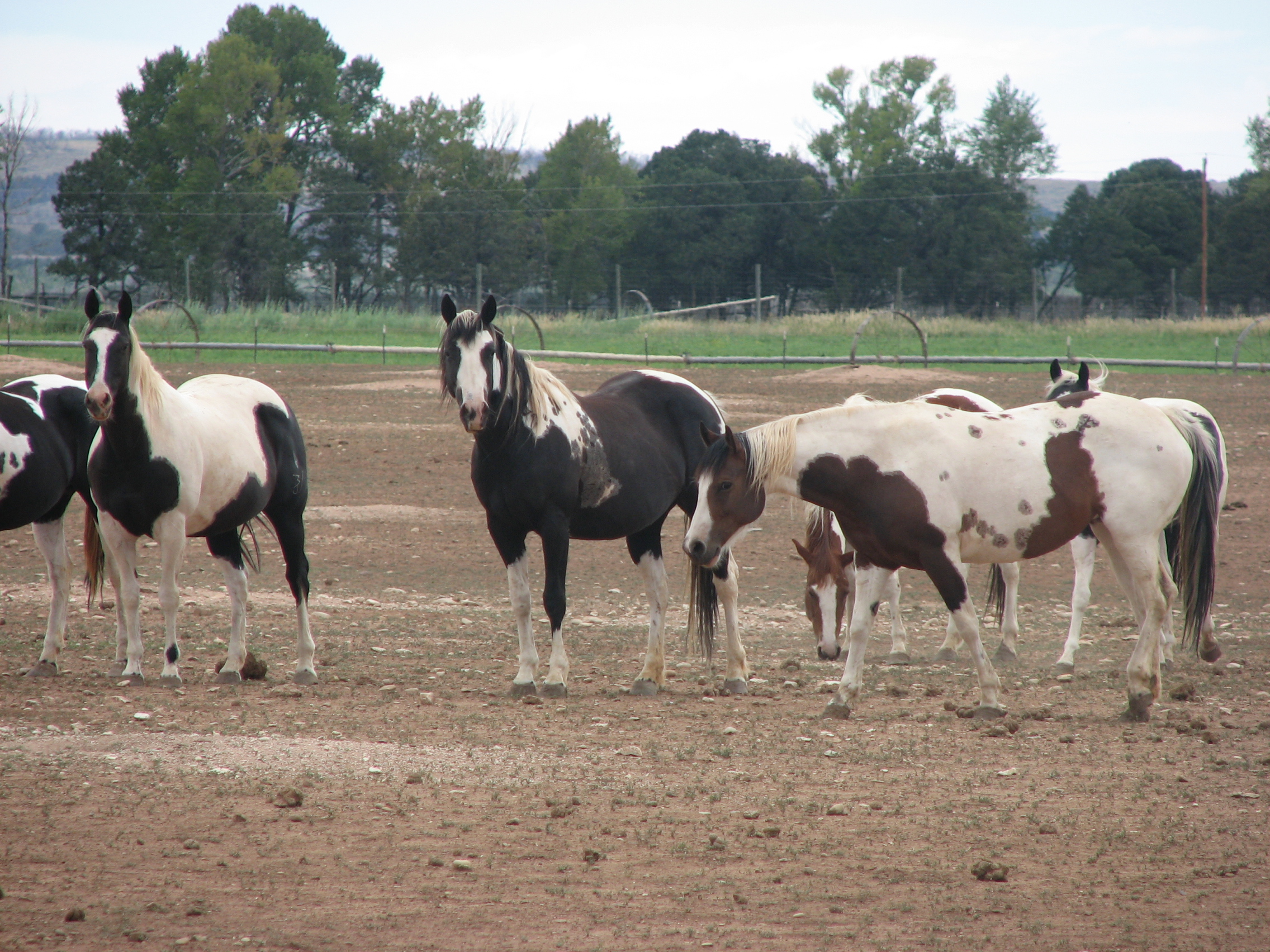
America Paint horse
America Paint horse
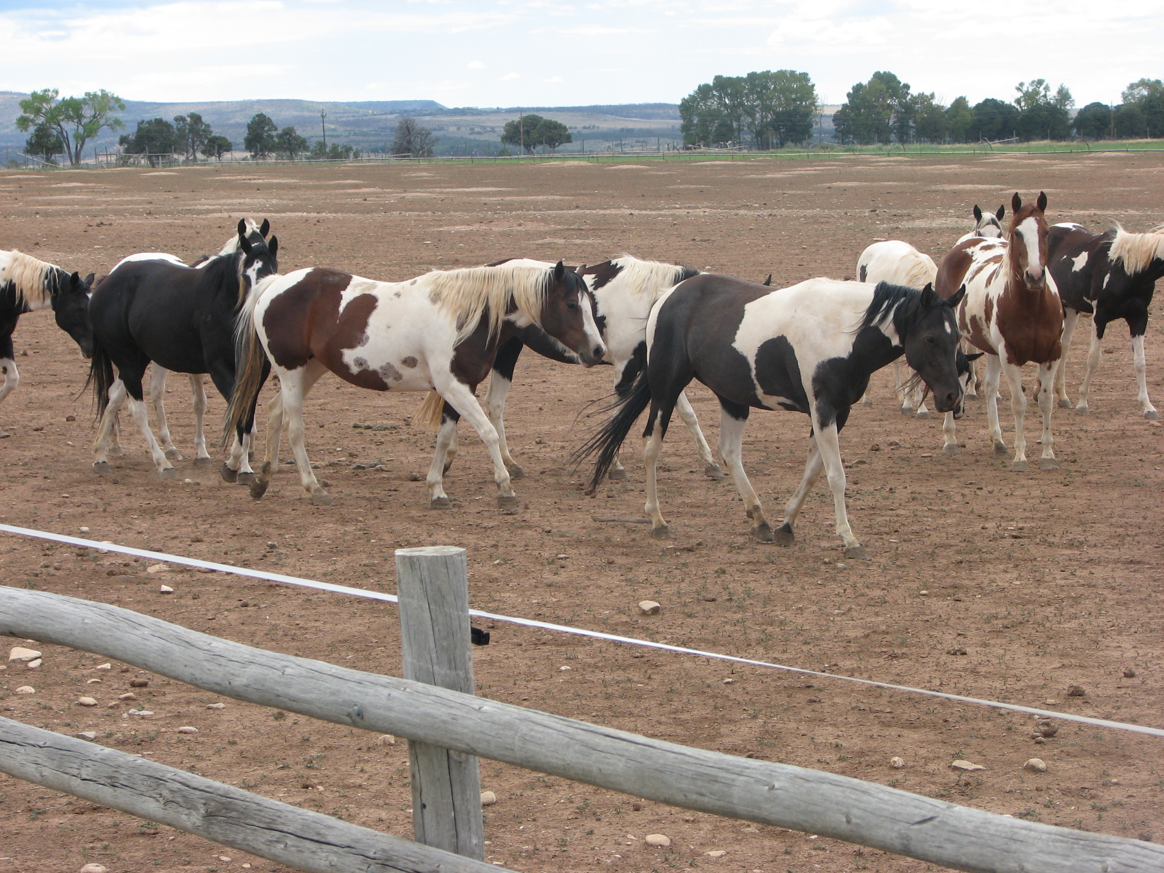
America Paint horse

America Paint horse
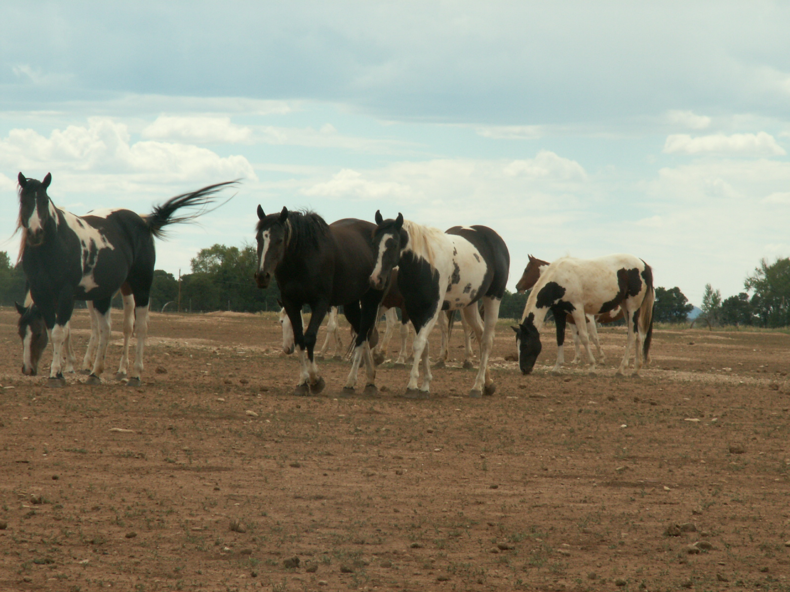
America Paint horse

America Paint horse

America Paint horse

Open cattle range
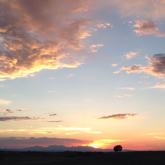
Colorado sunset #home
Topographic Map of CO-, Redvale, CO, USA
Find elevation by address:

Places near CO-, Redvale, CO, USA:
Redvale
Rd, Nucla, CO, USA
Norwood
Grand Ave, Norwood, CO, USA
County 31U Rd, Egnar, CO, USA
Norwood, CO, USA
Payson St, Nucla, CO, USA
Nucla
33310 Co-141
L37 Rd, Olathe, CO, USA
Dinosaur Quarry Trailhead
Uncompahgre Butte
Snipe Mountain
Escalante Creek
Rd, Delta, CO, USA
Rd, Delta, CO, USA
Bedrock
Divide Forks Campground
Rd, Bedrock, CO, USA
Paradox
Recent Searches:
- Elevation of Corso Fratelli Cairoli, 35, Macerata MC, Italy
- Elevation of Tallevast Rd, Sarasota, FL, USA
- Elevation of 4th St E, Sonoma, CA, USA
- Elevation of Black Hollow Rd, Pennsdale, PA, USA
- Elevation of Oakland Ave, Williamsport, PA, USA
- Elevation of Pedrógão Grande, Portugal
- Elevation of Klee Dr, Martinsburg, WV, USA
- Elevation of Via Roma, Pieranica CR, Italy
- Elevation of Tavkvetili Mountain, Georgia
- Elevation of Hartfords Bluff Cir, Mt Pleasant, SC, USA