Elevation of Escalante Creek, Colorado, USA
Location: United States > Colorado > Delta County > Delta >
Longitude: -108.33109
Latitude: 38.6674172
Elevation: -10000m / -32808feet
Barometric Pressure: 295KPa
Elevation Map:
Satellite Map:
Related Photos:

What is he doing?

Escalante Canyon #10 (Crooked wall of mystery)

Escalante Canyon Sky

Escalante Canyon petroglyphs

Escalante Canyon petroglyphs
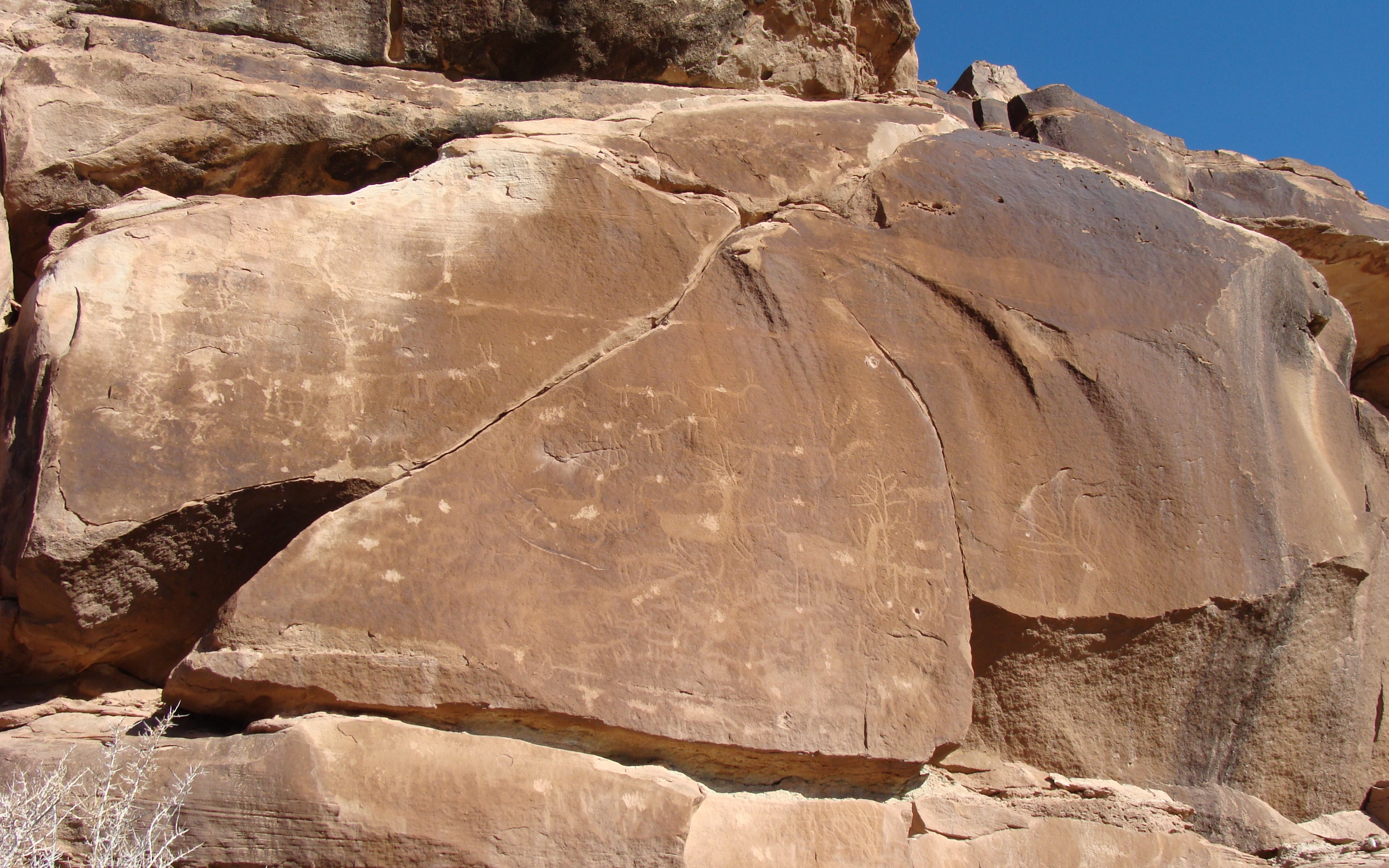
Escalante Canyon petroglyphs

The McCarty Trail just after dropping off the main part of McCarty Bench in Dominguez-Escalante National Conservation Area

Escalante Canyon 1

Coming down off McCarty Bench towards Palmer Gulch and Escalante Canyon, in Dominguez-Escalante National Conservation Area

The Escalante Canyon potholes #3
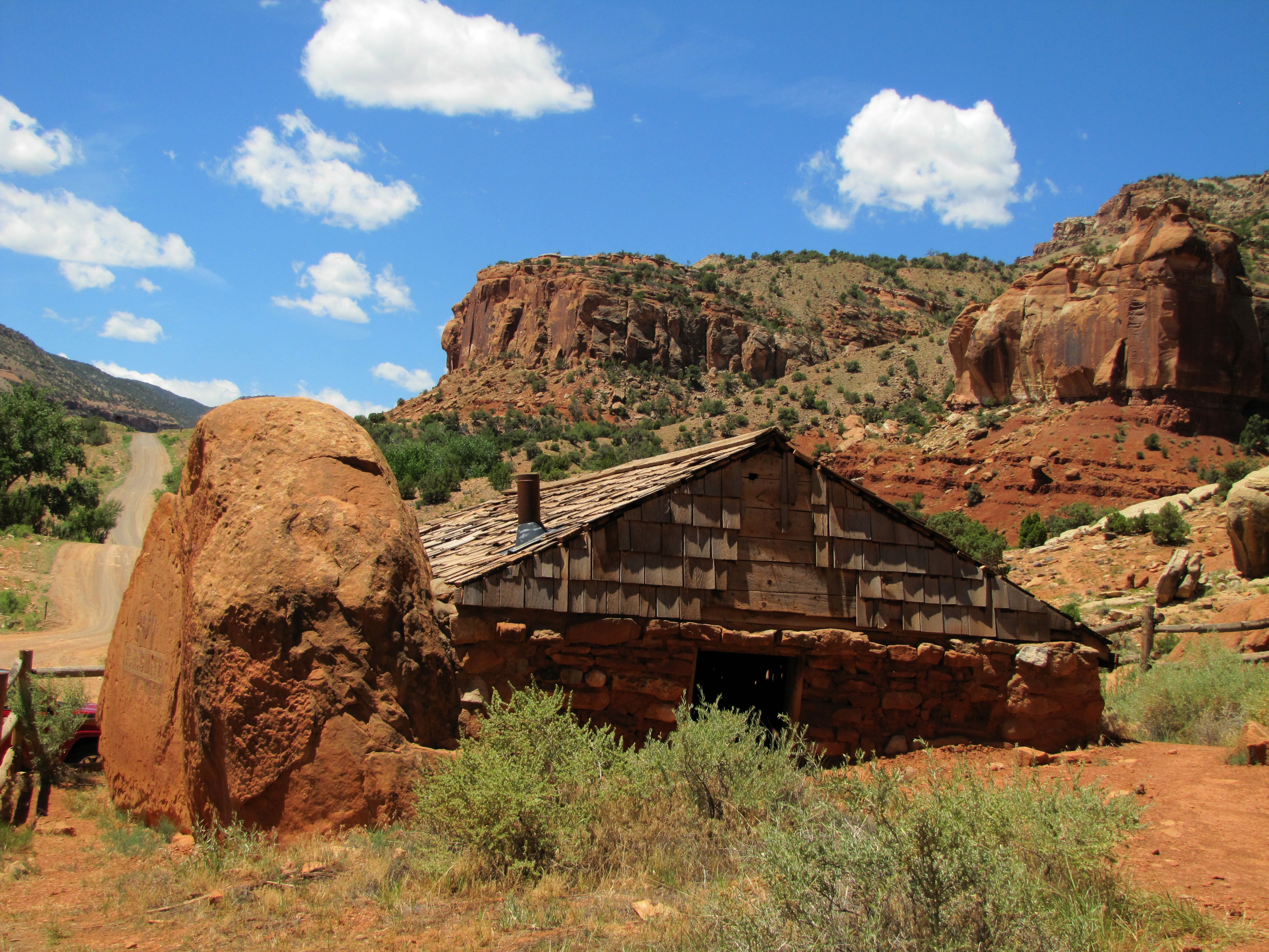
Captain Smith's Cabin (3 of 9)

Captain Smith's Cabin (7 of 9)
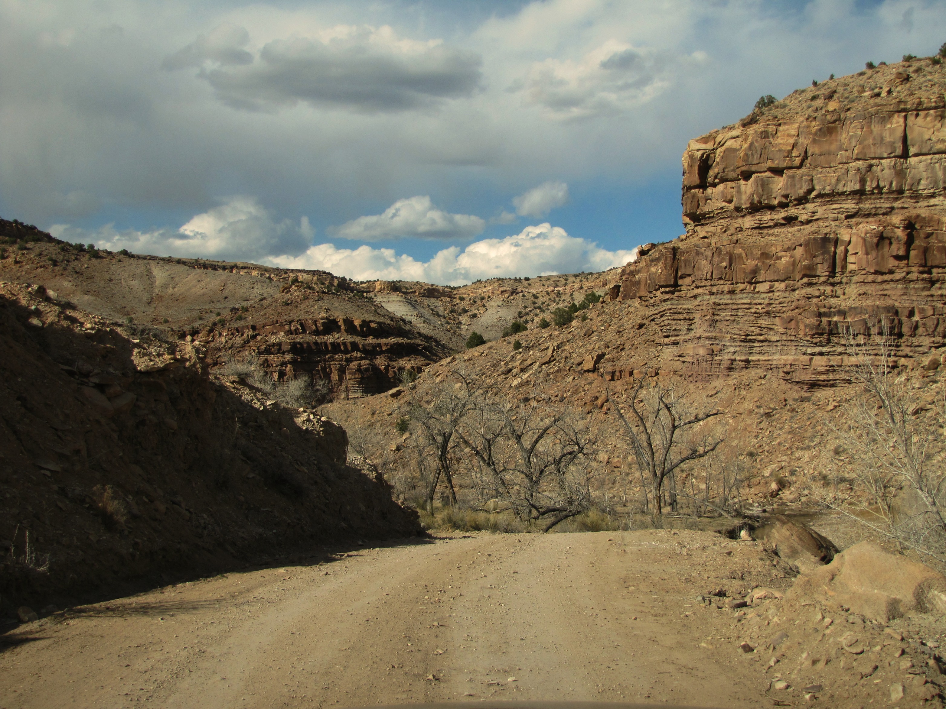
Roubideau road

Palmer Gulch from McCarty Bench in Dominguez-Escalante National Conservation Area, the Grand Mesa is in the distance

Roubideau Canyon homestead

Captain Smith's Cabin (8 of 9)
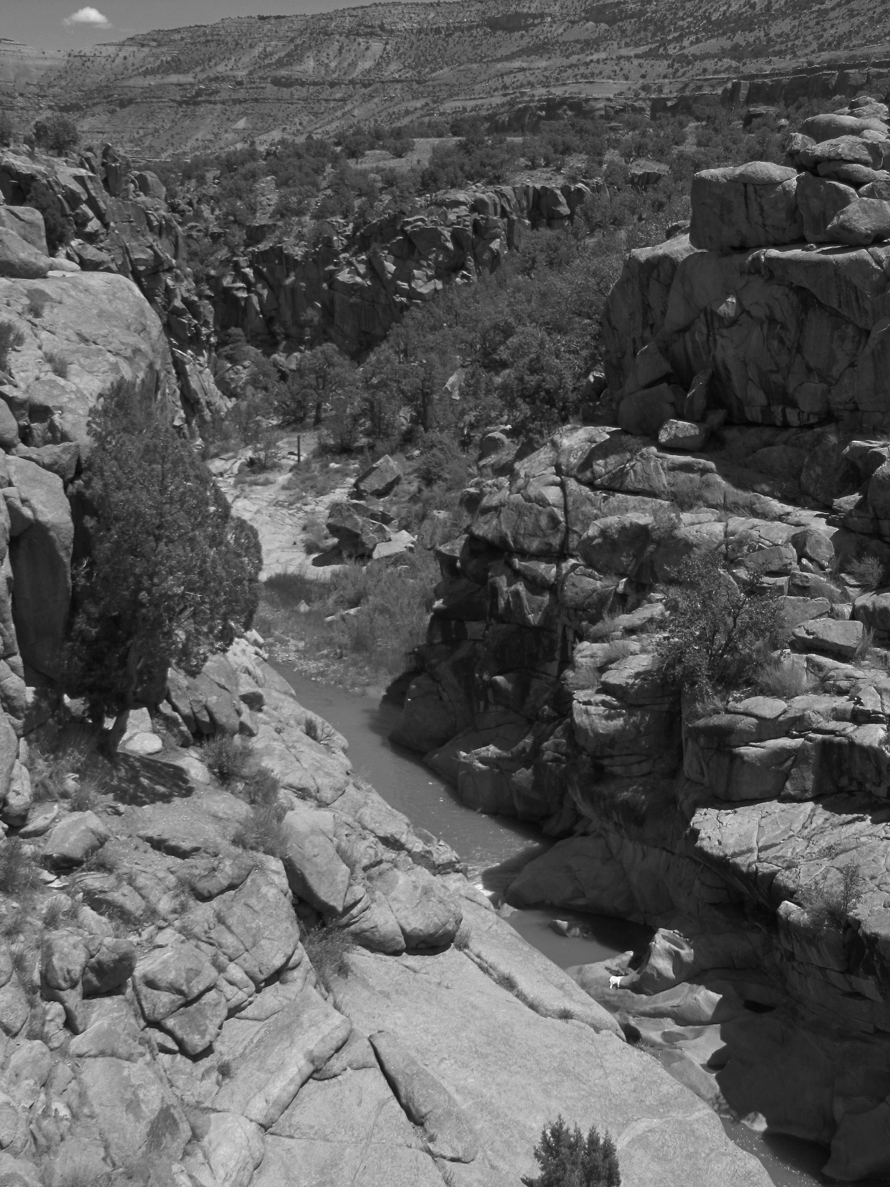
The Escalante Canyon potholes #6

Captain Smith's Cabin (5 of 9)

The Escalante Canyon potholes #2
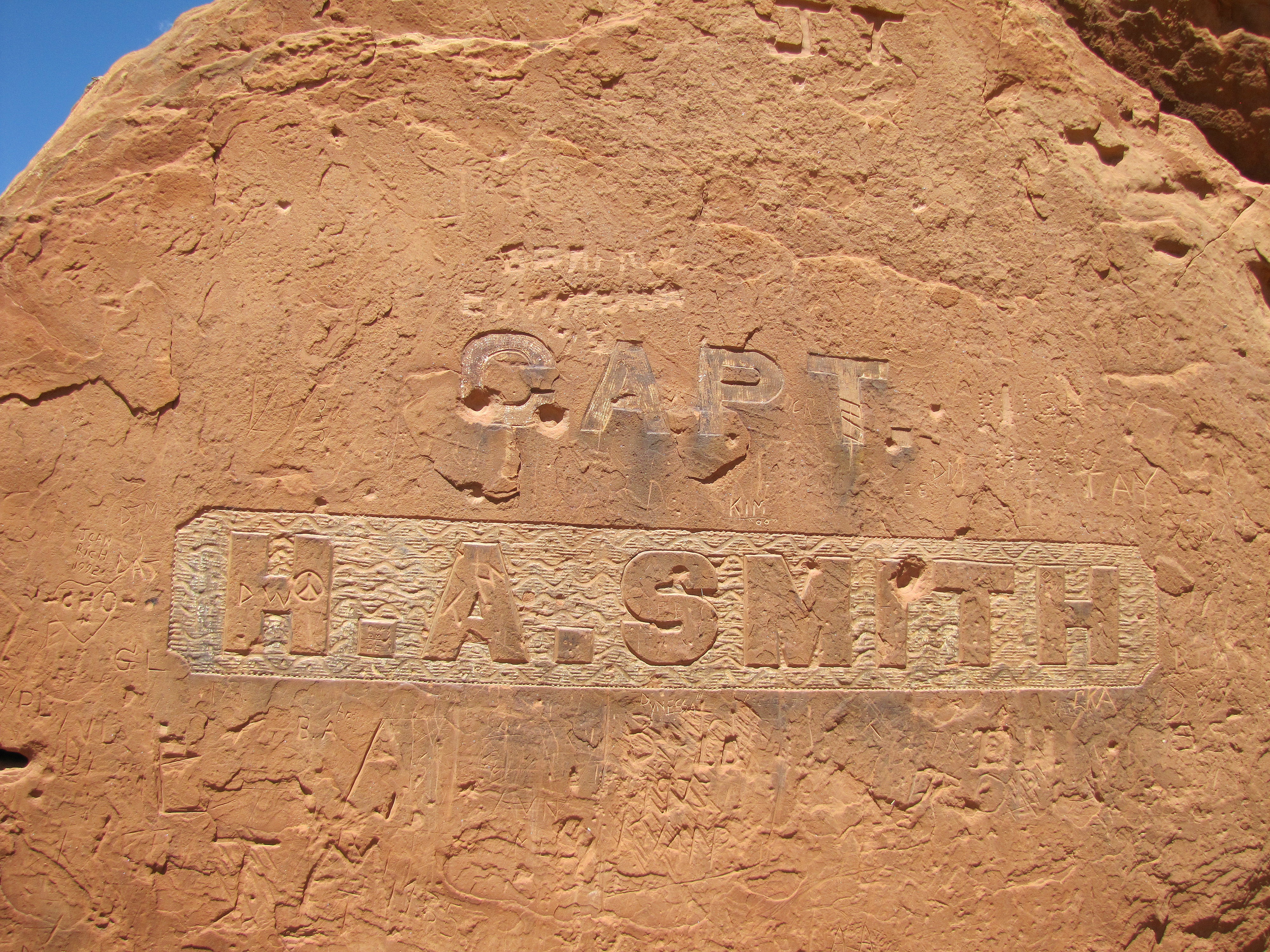
Captain Smith's Cabin (2 of 9)

The Escalante Canyon potholes #7
Topographic Map of Escalante Creek, Colorado, USA
Find elevation by address:

Places near Escalante Creek, Colorado, USA:
Rd, Delta, CO, USA
Rd, Delta, CO, USA
L37 Rd, Olathe, CO, USA
Dinosaur Quarry Trailhead
Dominguez Canyon Rd, Delta, CO, USA
Dominguez Canyon Rd, Delta, CO, USA
Dominguez Canyon Rd, Delta, CO, USA
Bean Ranch Rd, Whitewater, CO, USA
8161 Bean Ranch Rd
7930 Bean Ranch Rd
250 Divide Rd
Snipe Mountain
Lands End Road
Siminoe Rd, Whitewater, CO, USA
17700 Co-141
Uncompahgre Butte
3000 Callow Creek Ln
Whitewater
Divide Forks Campground
Western Colorado Dragway
Recent Searches:
- Elevation of Corso Fratelli Cairoli, 35, Macerata MC, Italy
- Elevation of Tallevast Rd, Sarasota, FL, USA
- Elevation of 4th St E, Sonoma, CA, USA
- Elevation of Black Hollow Rd, Pennsdale, PA, USA
- Elevation of Oakland Ave, Williamsport, PA, USA
- Elevation of Pedrógão Grande, Portugal
- Elevation of Klee Dr, Martinsburg, WV, USA
- Elevation of Via Roma, Pieranica CR, Italy
- Elevation of Tavkvetili Mountain, Georgia
- Elevation of Hartfords Bluff Cir, Mt Pleasant, SC, USA