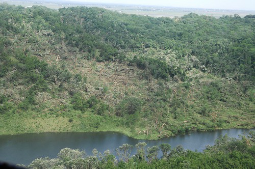
Elevation of Co Rd 45, Tekamah, NE, USA
Location: United States > Nebraska > Burt County > Arizona > Tekamah >
Longitude: -96.136439
Latitude: 41.7275126
Elevation: 311m / 1020feet
Barometric Pressure: 98KPa
Related Photos:
Topographic Map of Co Rd 45, Tekamah, NE, USA
Find elevation by address:

Places near Co Rd 45, Tekamah, NE, USA:
Arizona
Tekamah
Clay
Maple St, Mondamin, IA, USA
Little Sioux
Main St, Little Sioux, IA, USA
Little Sioux
Zahner Farms Inc
300 W Anderson St
IA-, Modale, IA, USA
Modale
1028 Joann Dr
2948 Westridge Dr
Black Elk Neihardt Park
1529 Jackson St
Blair
Washington County
Taylor
Raglan
Hillside Ave, Mondamin, IA, USA
Recent Searches:
- Elevation of Corso Fratelli Cairoli, 35, Macerata MC, Italy
- Elevation of Tallevast Rd, Sarasota, FL, USA
- Elevation of 4th St E, Sonoma, CA, USA
- Elevation of Black Hollow Rd, Pennsdale, PA, USA
- Elevation of Oakland Ave, Williamsport, PA, USA
- Elevation of Pedrógão Grande, Portugal
- Elevation of Klee Dr, Martinsburg, WV, USA
- Elevation of Via Roma, Pieranica CR, Italy
- Elevation of Tavkvetili Mountain, Georgia
- Elevation of Hartfords Bluff Cir, Mt Pleasant, SC, USA

