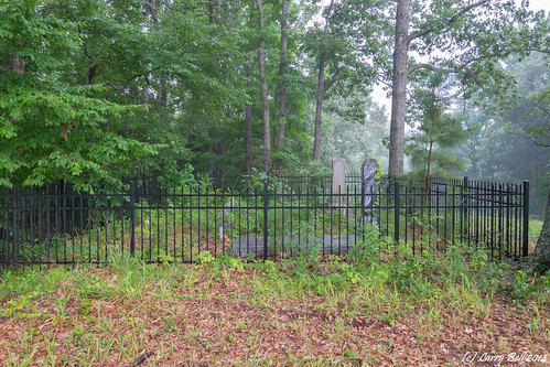
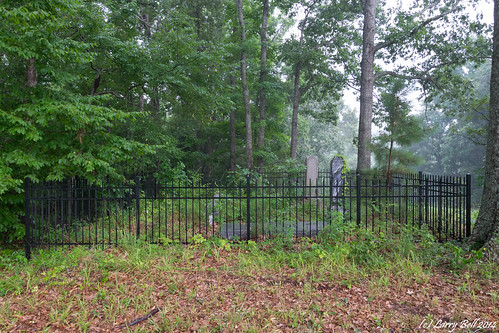
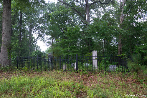
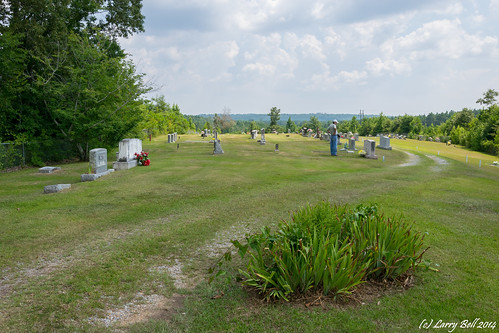
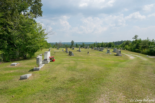
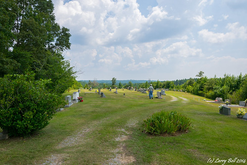
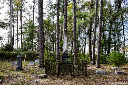
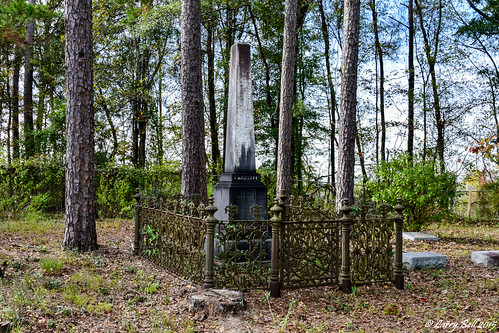
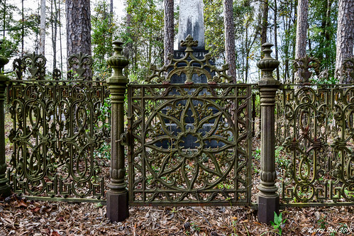
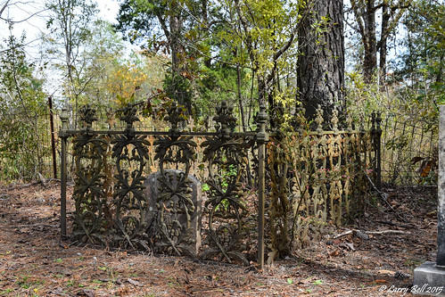
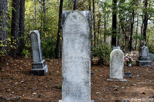
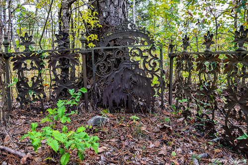
Elevation of Co Rd 42, Ward, AL, USA
Location: United States > Alabama > Choctaw County > Ward >
Longitude: -88.074877
Latitude: 32.2869181
Elevation: 31m / 102feet
Barometric Pressure: 101KPa
Related Photos:
Topographic Map of Co Rd 42, Ward, AL, USA
Find elevation by address:

Places near Co Rd 42, Ward, AL, USA:
AL-, Pennington, AL, USA
Pennington
AL-, Pennington, AL, USA
Jachin
Old Lock Rd, Pennington, AL, USA
47 Co Rd 32, Jachin, AL, USA
AL-, Butler, AL, USA
AL-69, Sweet Water, AL, USA
Co Rd 9, Lisman, AL, USA
Tuscahana Rd, Butler, AL, USA
Lisman
Butler
S Hamburg Ave, Butler, AL, USA
Putnam
AL-69, Thomasville, AL, USA
Choctaw County
Ararat Rd, Toxey, AL, USA
Linden
Sweet Water
US-43, Linden, AL, USA
Recent Searches:
- Elevation of Corso Fratelli Cairoli, 35, Macerata MC, Italy
- Elevation of Tallevast Rd, Sarasota, FL, USA
- Elevation of 4th St E, Sonoma, CA, USA
- Elevation of Black Hollow Rd, Pennsdale, PA, USA
- Elevation of Oakland Ave, Williamsport, PA, USA
- Elevation of Pedrógão Grande, Portugal
- Elevation of Klee Dr, Martinsburg, WV, USA
- Elevation of Via Roma, Pieranica CR, Italy
- Elevation of Tavkvetili Mountain, Georgia
- Elevation of Hartfords Bluff Cir, Mt Pleasant, SC, USA
