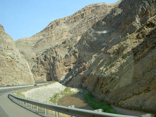
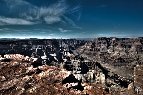
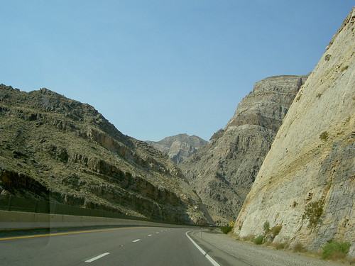
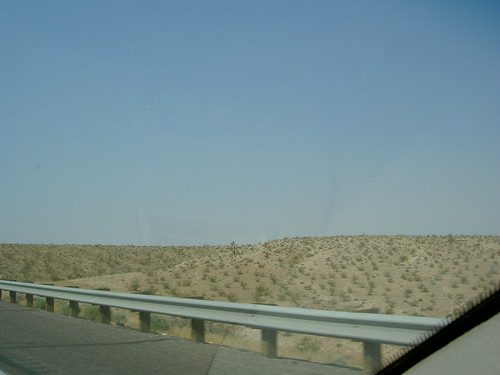
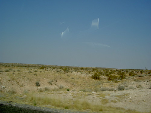
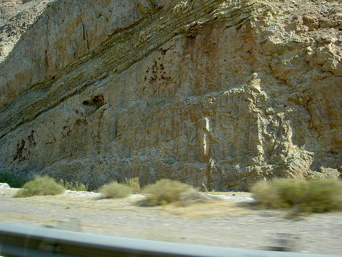
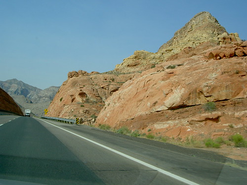
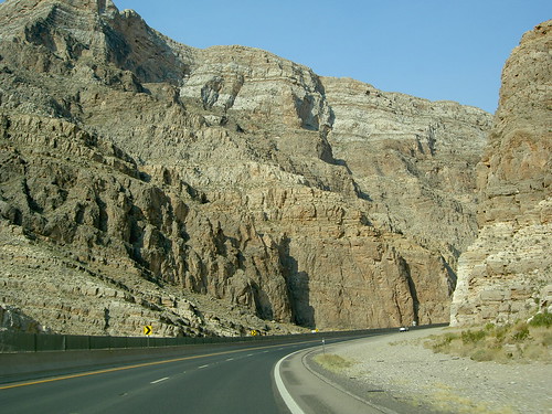
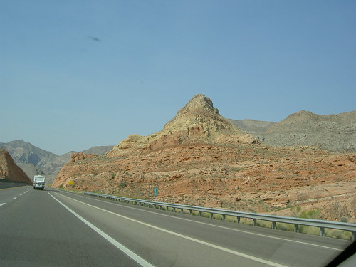
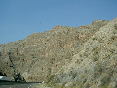
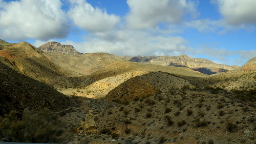
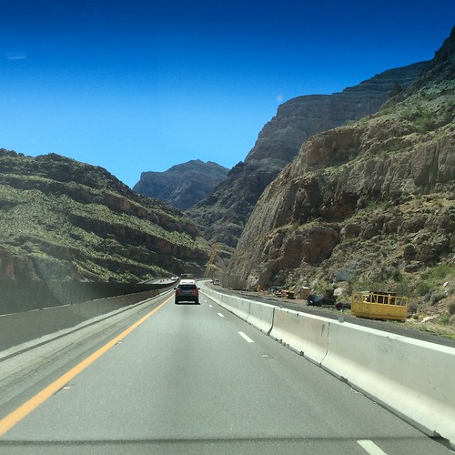
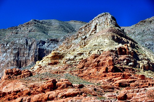
Elevation of Co Hwy 91, Littlefield, AZ, USA
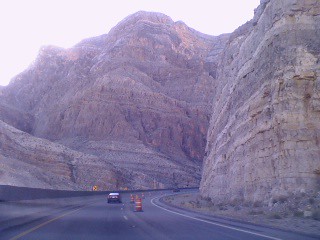
Location: United States > Arizona > Mohave County > Beaver Dam >

Longitude: -113.93602

Latitude: 36.9001904

Elevation: 567m / 1860feet

Barometric Pressure: 95KPa

Elevation Map:

elevation map of Co Hwy 91, Littlefield, AZ, USA
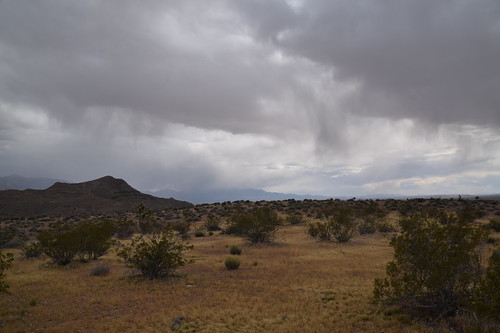
Satellite Map:

Satellite map of Co Hwy 91, Littlefield, AZ, USA
Related Photos:

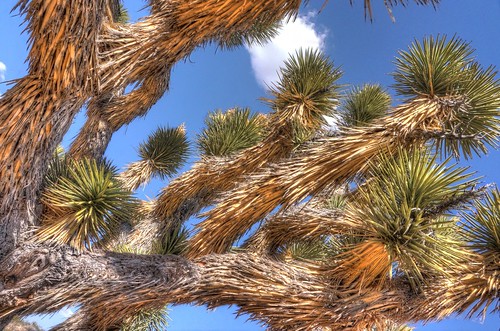
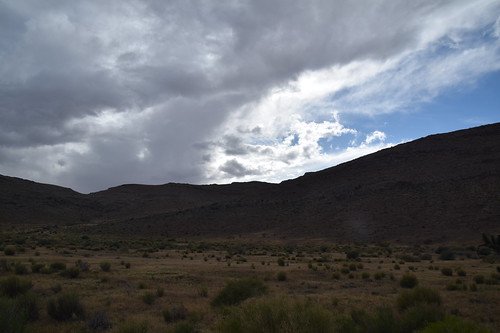
county mountains tree landscape bush open forsale desert joshuatree getty may13 yucca mohave brevifolia arrizona yuccapalm treeyucca palmtreeyucca
A Tree with a View
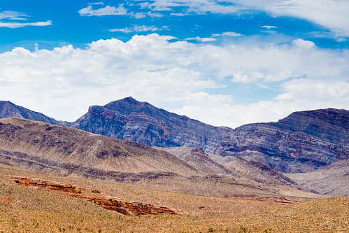
arizona fav50 joshuatree hdr yuccabrevifolia 3xp photomatix nex6 selp1650
Nothing is too hot for me
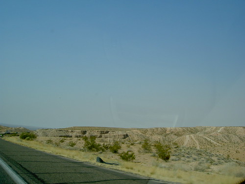
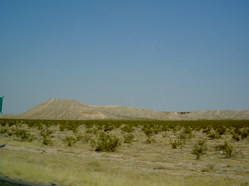
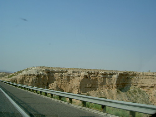
road county travel arizona panorama mountains landscape open forsale perspective hills getty mohave jul13
Hills put in perspective by Road
From Cedar City to Las Vegas, Views from the Road
arizona
Utah nice view
From Cedar City to Las Vegas, Views from the Road
arizona west river colorado view desert grandcanyon canyon helicopter rim montains skywalk route66grandcanyonarizonawestrimhelicopterviewcanyonskywalkcoloradodesertmontainsriver
Grand Canyon West Rym - Arizona
From Cedar City to Las Vegas, Views from the Road
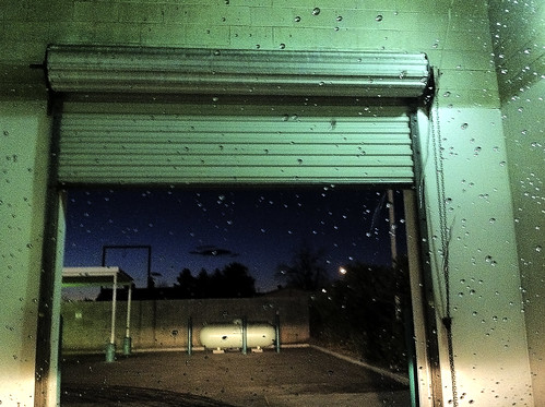
water night nevada roadtrip carwash dirt mesquite
Car Wash at Night
From Cedar City to Las Vegas, Views from the Road
The Magnificant Mohave
square squareformat iphoneography instagramapp uploaded:by=instagram foursquare:venue=4dd994a252b1a5c644816204
Driving through The Gorge in Utah
square lofi squareformat iphoneography instagramapp uploaded:by=instagram foursquare:venue=4ca89842b0b8236a46d1b4e6
#tourlife #ineedmoney #gogetit #AZ #djcavem @ietef Work smart
usa utah us
20160415 172020 1S
usa utah us
20160415 172502 1S
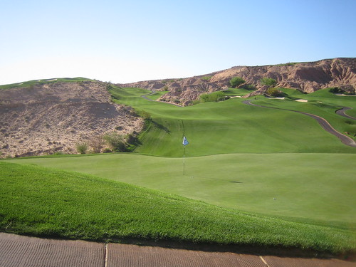
golf mesquite wolfcreek
7th tee
unitedstates nevada mesquite
Wolf Creek H03
Grammys Road Trip iPhone Pics
usa utah us
20160415 180140 1S
light shadow river redrock january2009
1000 Miles in a Day
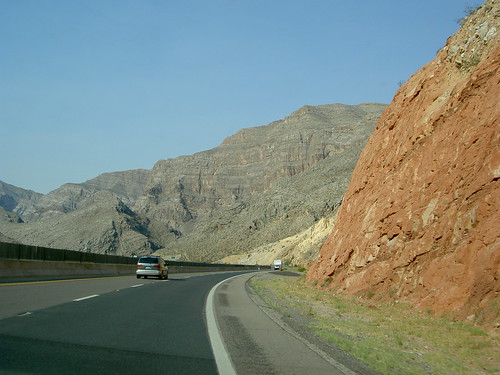
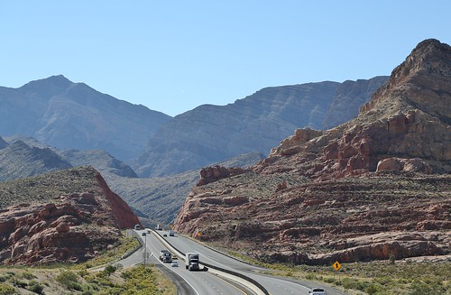
arizona interstate15 2013 virginrivergorge cedarpocket arizonastripdistrict
0U1A0935 Virgin River Gorge - Interstate 15 Cedar Pocket exit
_X4Y0511.jpg
arizona mountains landscape desert virginrivergorge
Virgin River 13
Massive Mountains
usa utah us
20160415 163222 1S
usa utah us
20160415 164952 1S
On The Road
travel summer vacation usa utah us unitedstates unitedstatesofamerica littlefield
Arizona spaces
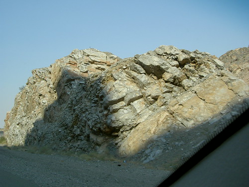
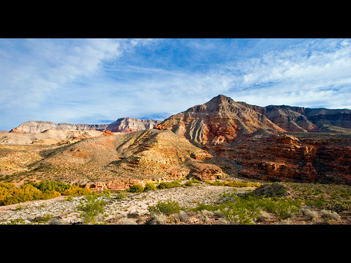
arizona digital landscape photo canyon strata noon geology virginrivergorge
In the Virgin River Gorge