Elevation of Pebble Creek Run, Mesquite, NV, USA
Location: United States > Nevada > Clark County > Mesquite >

Longitude: -114.06562

Latitude: 36.8280144

Elevation: 527m / 1729feet

Barometric Pressure: 95KPa

Elevation Map:

elevation map of Pebble Creek Run, Mesquite, NV, USA
Satellite Map:

Satellite map of Pebble Creek Run, Mesquite, NV, USA
Related Photos:

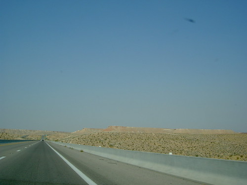
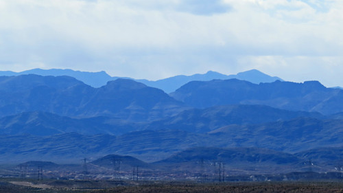
From Cedar City to Las Vegas, Views from the Road
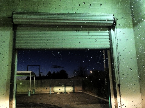
water night nevada roadtrip carwash dirt mesquite
Car Wash at Night
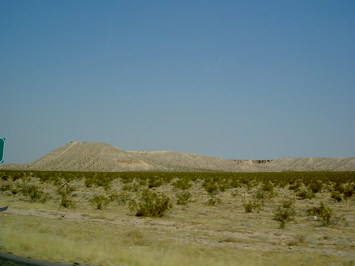
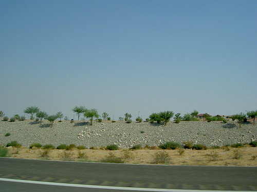
From Cedar City to Las Vegas, Views from the Road
arizona west river colorado view desert grandcanyon canyon helicopter rim montains skywalk route66grandcanyonarizonawestrimhelicopterviewcanyonskywalkcoloradodesertmontainsriver
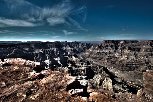
Grand Canyon West Rym - Arizona
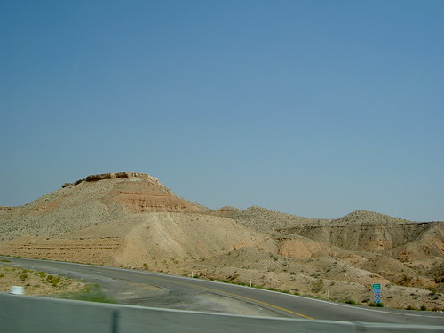
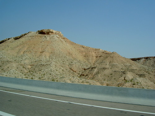
From Cedar City to Las Vegas, Views from the Road
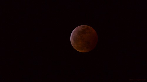
lunareclipse superbloodwolfmoon
Just after the middle of totality
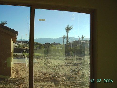
Mesquite House Construction
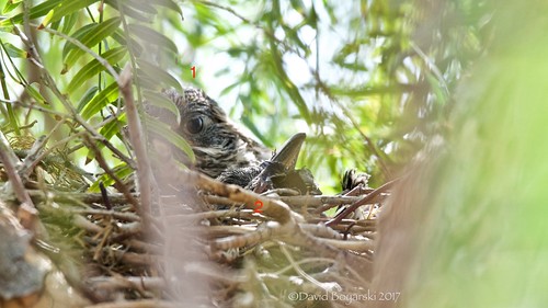
nest roadrunner
Apr 12: Finally a better view
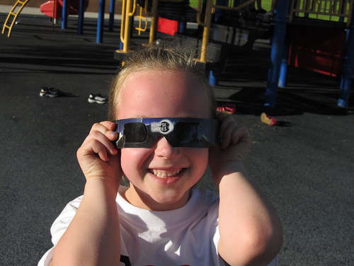
eclipse nevada clark
Abby with Eclipse Viewing Glasses, Mesquite, Nevada
From Cedar City to Las Vegas, Views from the Road
nest costashummingbird cohu
Balancing Act
From Cedar City to Las Vegas, Views from the Road
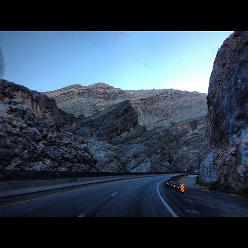
mountains highway scenery desert scenic 15 views interstate i15
Scenic views on the way back to Las Vegas
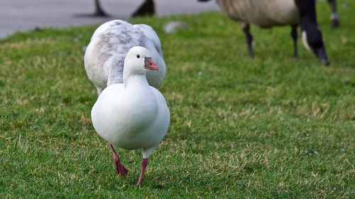
rossgoose mesquitenv waterfowl snowbirds
Ross Goose Front View
From Cedar City to Las Vegas, Views from the Road
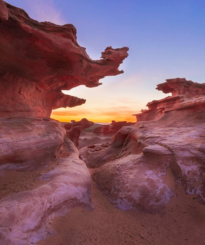
instagramapp square squareformat iphoneography uploaded:by=instagram
Sandstone Fins on Fire
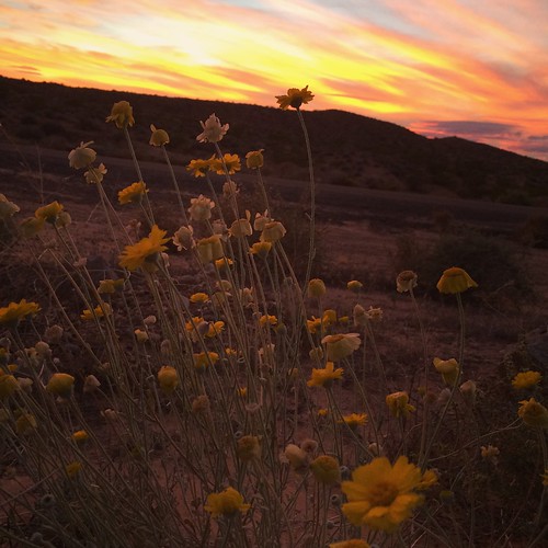
sunset shots
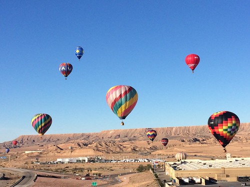
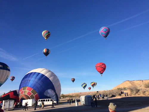
Mesquite Hot air balloon festival January 2018
travel arizona usa america unitedstates sony unitedstatesofamerica northamerica alpha a200 amerika reise estadosunidos 美國 美国 étatsunis 미국 f32 nordamerika copyrightprotected sonydslra200 аризона 合衆国 أريزونا 亚利桑那 соединённыештаты الولاياتالمتحدة
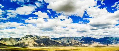
Virgin Mountains - Colorado Plateau
square squareformat iphoneography instagramapp uploaded:by=instagram foursquare:venue=4dd994a252b1a5c644816204
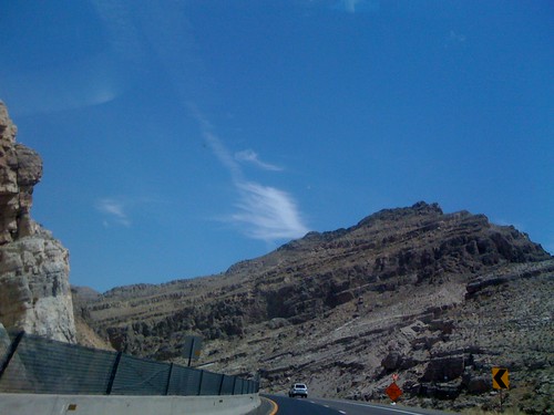
Driving through The Gorge in Utah
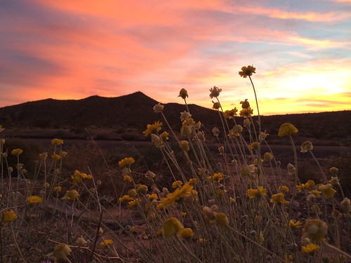
sunset shots
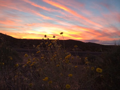
sunset shots
landscape nevada mesquite
Mesquite, NV
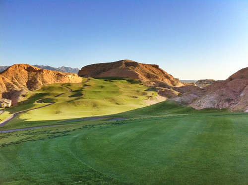
mesquite hdr wolfcreek
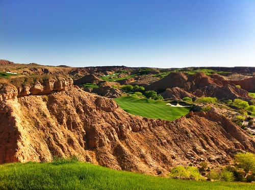
2nd hole at Wolf Creek
IMG_1657.JPG
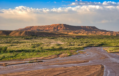
sunset landscape river mesquite nevada
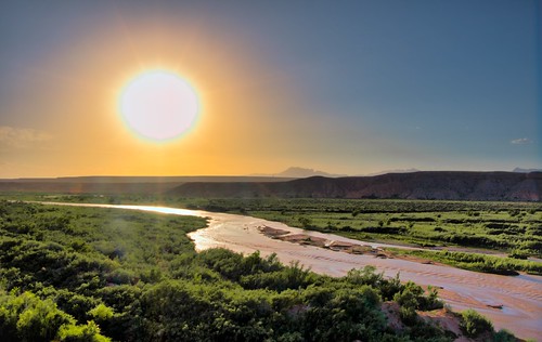
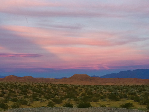
Mesquite Sunset
sunset shots
mesquite hdr falconridge
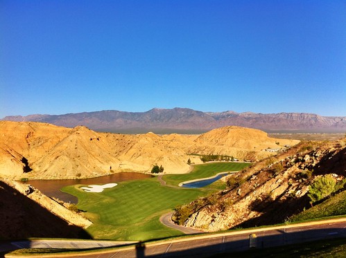
13th tee at Falcon Ridge
Japanese garden. Seattle, WA
mesquite hdr falconridge
15th at Falcon Ridge
Hot air ballon festival in Mesquite Nevada
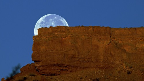
moon mesquitenv moonoverthemesa
Full Moon Over The Mesa 4
IMG_1654.JPG
sunset shots
square lofi squareformat iphoneography instagramapp uploaded:by=instagram
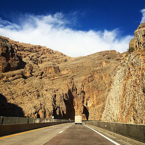
Into the #gorge