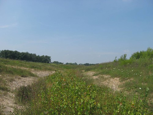
Elevation of Co Hwy 44, Nevada, OH, USA

Location: United States > Ohio > Wyandot County >

Longitude: -83.149644

Latitude: 40.8772197

Elevation: 269m / 883feet

Barometric Pressure: 98KPa

Elevation Map:

elevation map of Co Hwy 44, Nevada, OH, USA

Satellite Map:

Satellite map of Co Hwy 44, Nevada, OH, USA

Related Photos:

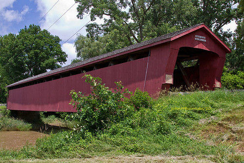
ohio june sanduskyriver 2010 coveredbridges riversandstreams howetruss wyandotcounty nrhp canon24105l ohiocoveredbridges parkerbridge june2010
Parker Covered Bridge - Biggest and Best of Recent Trip
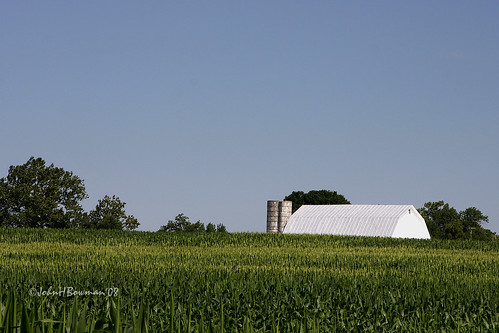
ohio barns july cornfields silos blueskies 2008 tinroof wyandotcounty ohiobarns canon24105l ruralohio july2008
"The corn is as high as an elephant's eye"
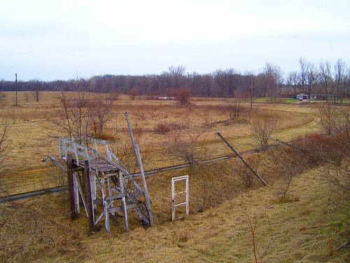
county wood ohio house snow abandoned overgrown frieze historic porch frame siding crawford benton
Abandoned House - Benton, OH
old ohio two usa abandoned race corner turn one closed track racing forgotten deserted speedway raceway latemodel sprintcar mccutchenville
Turns 1 & 2
old ohio usa abandoned race closed track box racing forgotten bleachers press deserted stands speedway raceway latemodel sprintcar mccutchenville
Press Box
old ohio usa abandoned race corner turn four three closed track racing forgotten deserted speedway raceway latemodel sprintcar mccutchenville
Turns 3 & 4
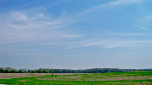
ohio sky field us spring sanduskyriver unitedstates wyandot tymochtee tymochteecreek
Between Sandusky River and Tymochtee Creek.
localnature
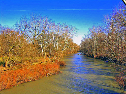
Sandusky River
tree field rural country bigsky hdr hdri d700
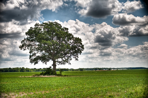
(2009-07-05) The Tree - 0020And8more
tree field rural country bigsky hdr hdri d700
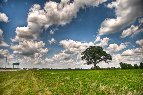
(2009-07-05) The Tree - 0083And8moreEnhancer
sunset field backlight amber waves wheat grain 365 day176 day176365 3652011 365the2011edition week25theme 062511
Amber waves of grain [176/365]
ohio sanduskyriver senecacounty collierpark
Collier Park
ohio field barn redbarn soybeans wyandotcounty
Red Barn and Soy Beans
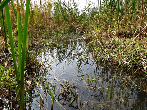
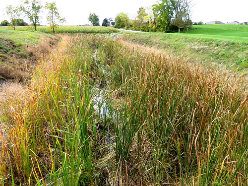
primarysuccession streamrestoration ecologicalsuccession selfformingstreams overwidechannel fluvialbiogeomorphic
Year 5 2012-09-28 (c)
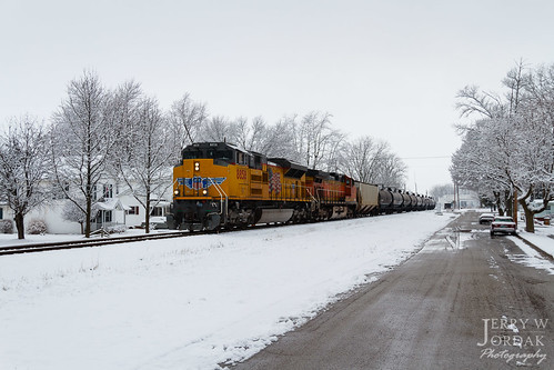
street trees ohio house snow up car train us unitedstates ns norfolksouthern uppersandusky 8858 unittrain ftwayneline train64e
A Splash of Color in a Sea of White
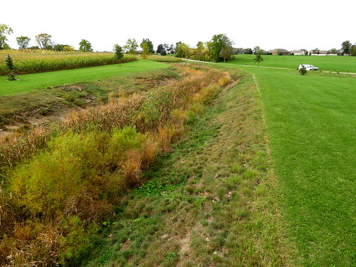
primarysuccession streamrestoration ecologicalsuccession selfformingstreams overwidechannel fluvialbiogeomorphic
Year 5 2012-09-28 (a)
old ohio usa abandoned race closed track front racing stretch forgotten bleachers deserted speedway raceway latemodel sprintcar mccutchenville
Front Stretch
walkforhealthcare ogangurel brokenswordcreek
Broken Sword creek
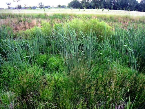
primarysuccession streamrestoration ecologicalsuccession selfformingstreams overwidechannel fluvialbiogeomorphic
Year 5 2012-09-28 (b)
primarysuccession streamrestoration ecologicalsuccession selfformingstreams overwidechannel fluvialbiogeomorphic
Year 4 2011-06-17 (c)
walkforhealthcare ogangurel
Fields outside Upper Sandusky ... notice that it is getting hillier as I move east of the prairie.
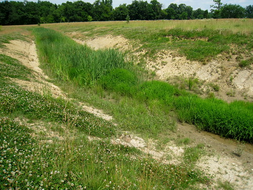
primarysuccession streamrestoration ecologicalsuccession selfformingstreams overwidechannel fluvialbiogeomorphic
Year 2 2009-06-24 (b)
ohio honeycreek melmore
Honey Creek
ohio clean sycamore assistance fund brownfield wyandotcounty
Sycamore-Kirby Tire Site (COAF)