Elevation of Tymochtee Township, OH, USA
Location: United States > Ohio > Wyandot County >
Longitude: -83.229186
Latitude: 40.9415478
Elevation: 245m / 804feet
Barometric Pressure: 98KPa
Elevation Map:
Satellite Map:
Related Photos:

Ohio Bicentenial HDR

Abandoned House - Benton, OH

Honey Creek
Onion Farm
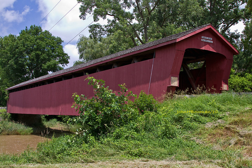
Parker Covered Bridge - Biggest and Best of Recent Trip
C&O Classic

Turns 1 & 2

Press Box
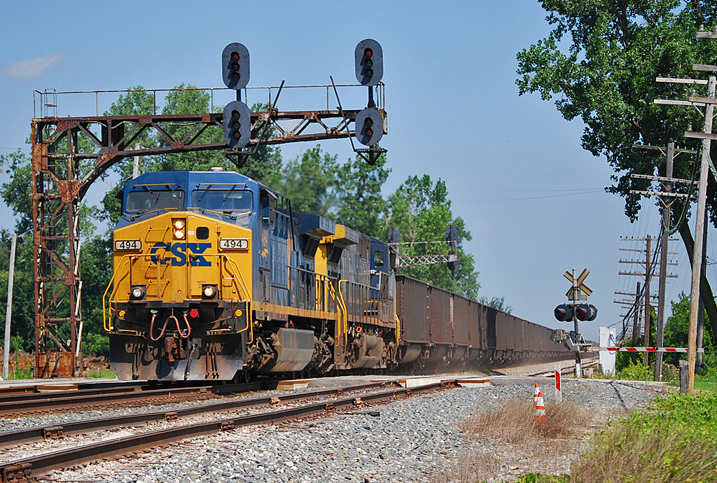
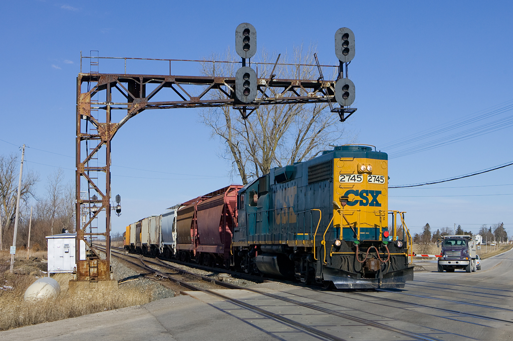
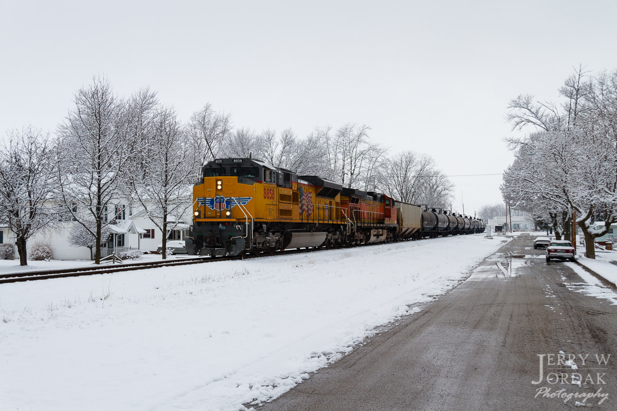
CSX_Carey-OH_Ccabin_eastside_070310-1
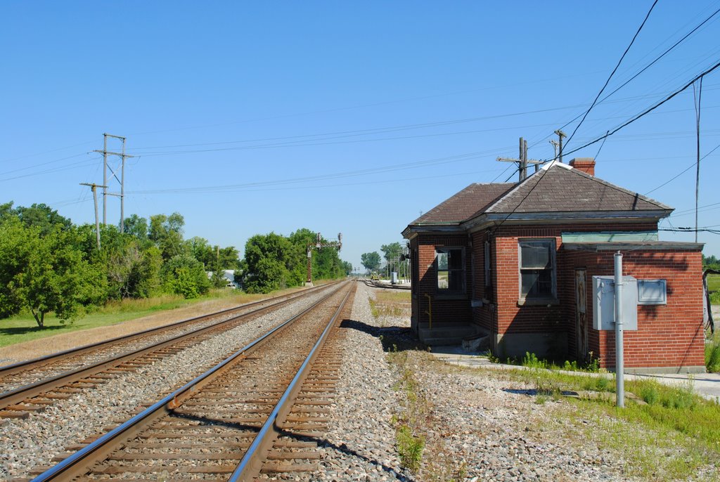
CSX_Carey-OH_Ccabin_northside_070310-1
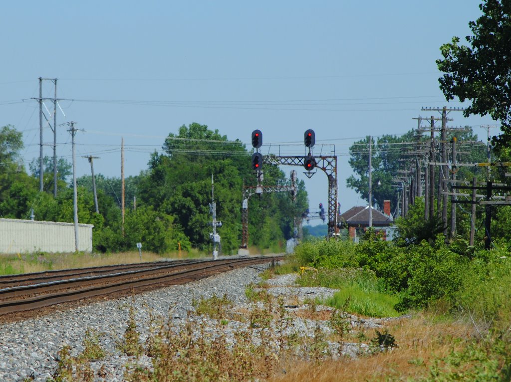
CSX_Carey-OH_Ccabin_WBsignals_070310-1

Why not ! A selfie & the view of my cab #freightliner #selfie #cre #atx #coveralls #trucklife #trucker

Turns 3 & 4
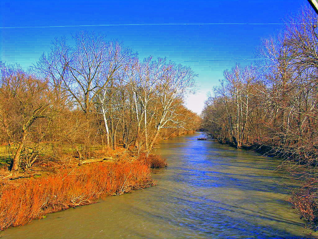
Sandusky River

Ohio Fall

(2009-07-05) The Tree - 0020And8more

(2009-07-05) The Tree - 0083And8moreEnhancer

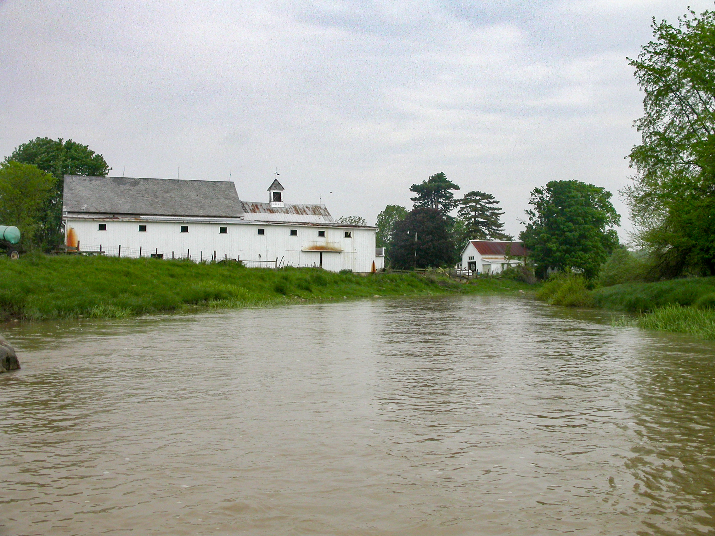
Red Barn and Soy Beans

Front Stretch

Conveyors, National Lime And Stone, Carey OH
Honey Creek

somewhere in Ohio

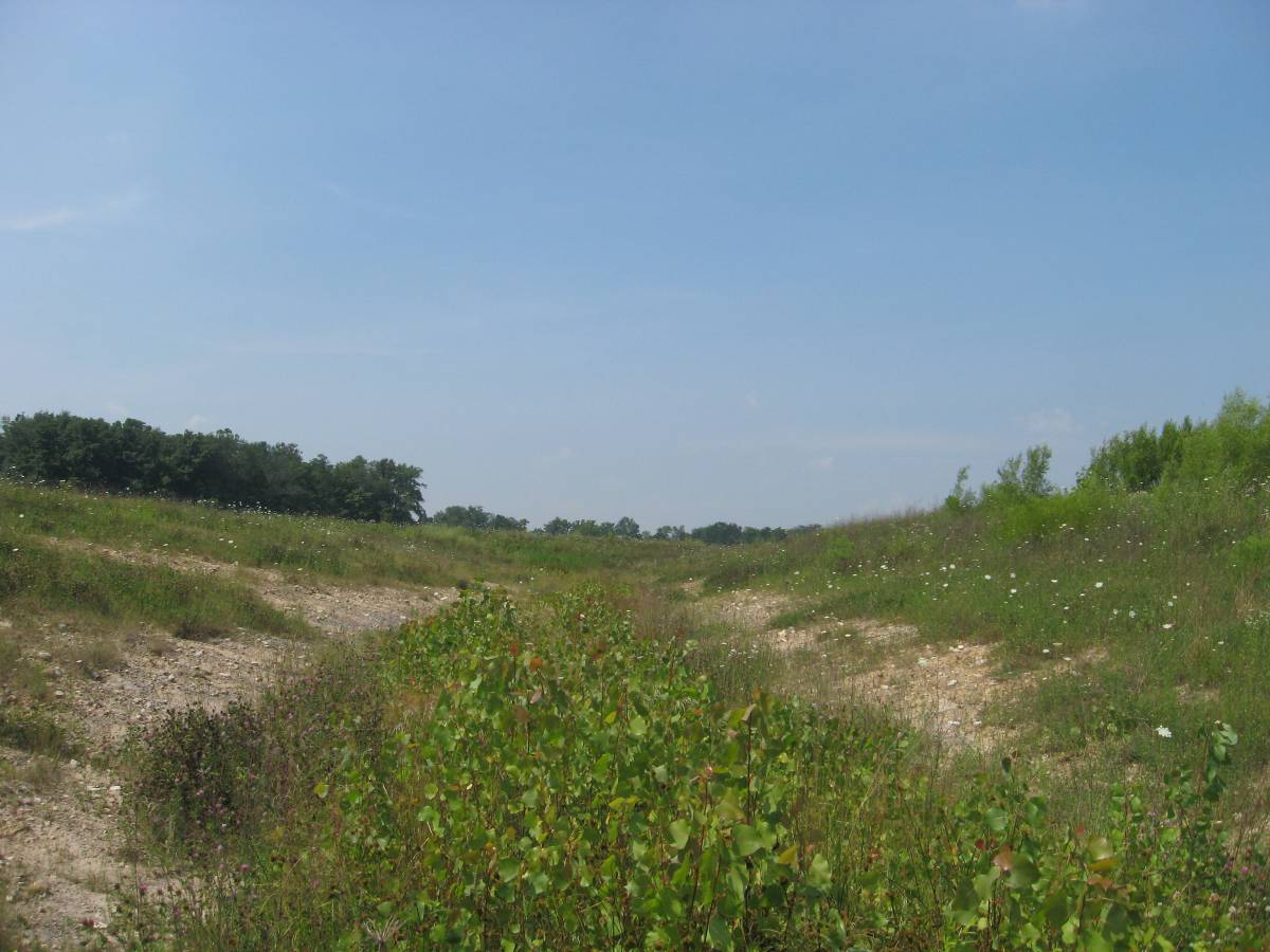
Between Sandusky River and Tymochtee Creek.

Collier Park
Sycamore-Kirby Tire Site (COAF)

Amber waves of grain [176/365]
A Splash of Color in a Sea of White

Fields outside Upper Sandusky ... notice that it is getting hillier as I move east of the prairie.
Topographic Map of Tymochtee Township, OH, USA
Find elevation by address:

Places in Tymochtee Township, OH, USA:
Places near Tymochtee Township, OH, USA:
Crane Township
7296 Township Hwy 51
Co Hwy 44, Nevada, OH, USA
985 Winding Hollow Ln
950 Winding Hollow Ln
950 Winding Hollow Ln
950 Winding Hollow Ln
155 Indian Mill Dr
133 Rivers Edge Ln
691 Mission Dr
T-132
473 Front St
208 W Elm Dr
609 Polaris Dr
433 E Bigelow St
712 Baker Dr
Eden Township
Reservoir Rd, Upper Sandusky, OH, USA
Upper Sandusky
420 W Finley St
Recent Searches:
- Elevation of Corso Fratelli Cairoli, 35, Macerata MC, Italy
- Elevation of Tallevast Rd, Sarasota, FL, USA
- Elevation of 4th St E, Sonoma, CA, USA
- Elevation of Black Hollow Rd, Pennsdale, PA, USA
- Elevation of Oakland Ave, Williamsport, PA, USA
- Elevation of Pedrógão Grande, Portugal
- Elevation of Klee Dr, Martinsburg, WV, USA
- Elevation of Via Roma, Pieranica CR, Italy
- Elevation of Tavkvetili Mountain, Georgia
- Elevation of Hartfords Bluff Cir, Mt Pleasant, SC, USA