Elevation of CO-12, Weston, CO, USA
Location: United States > Colorado > Costilla County > Weston >
Longitude: -105.05824
Latitude: 37.3068305
Elevation: 2886m / 9468feet
Barometric Pressure: 71KPa
Elevation Map:
Satellite Map:
Related Photos:

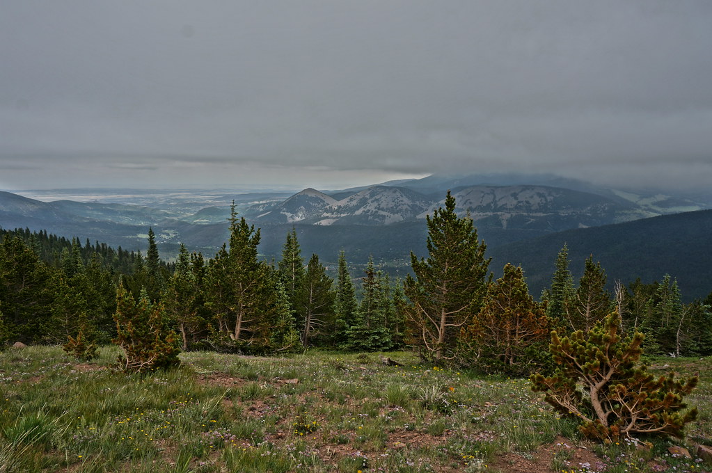
Sangre de Cristo Mountains

Aguilar & Spanish Peaks

next day, same view
low ceiling

Culebra Range

West Spanish Peak

Awesome view

Double Rainbow

Portrait of a Hogback

Yet another lake view

Nice View
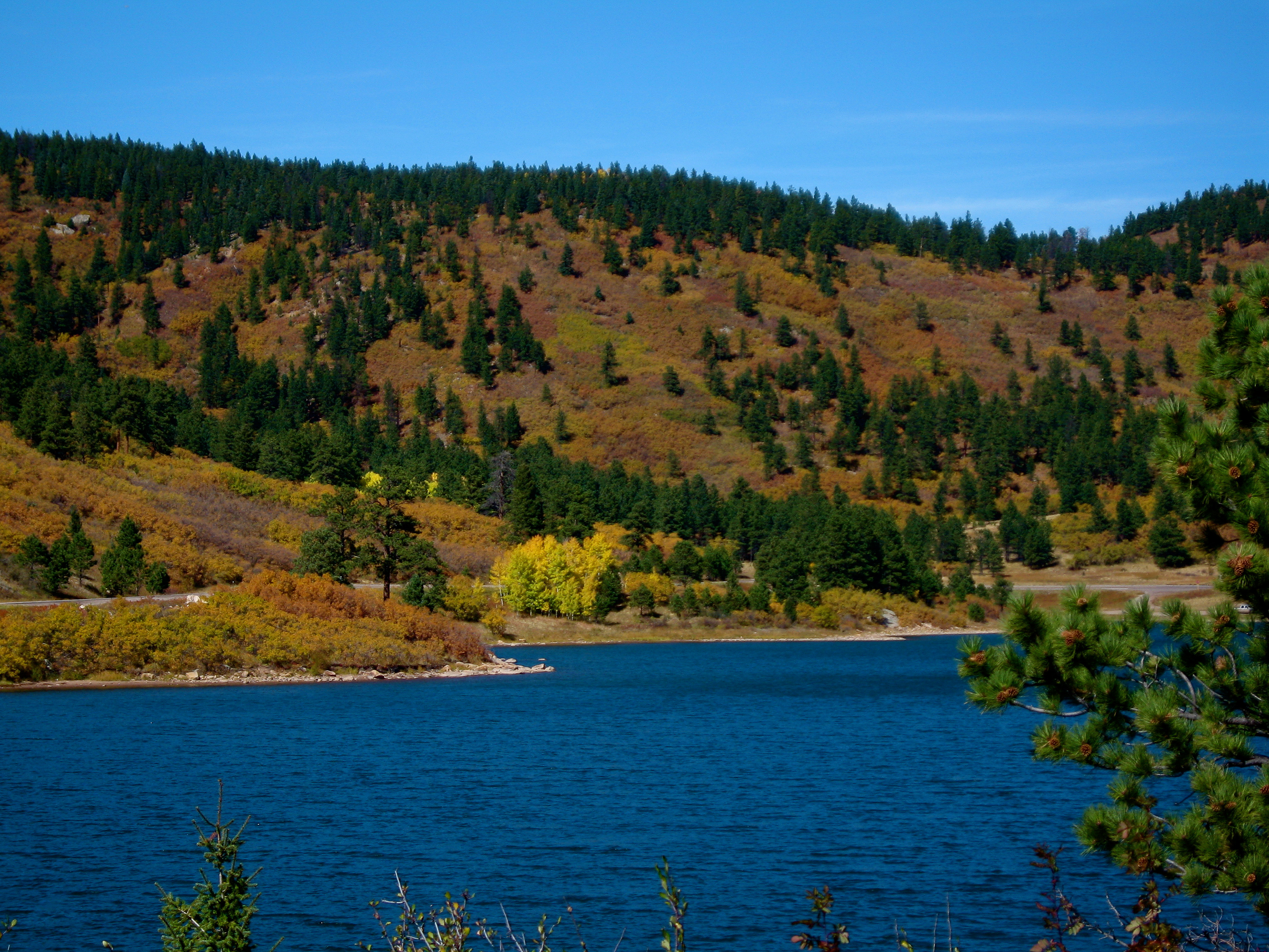
Another lake view
Cuchara Pass

The CUCHARAS
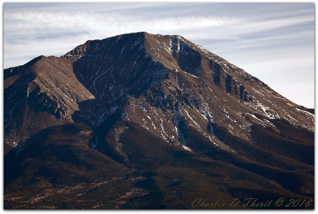
West Spanish Peak

Bear Lake

The Rockies

Tracking Milk Over West Spanish Peak

Blue Lake

Happy Fence Friday

little waterfall

Spanish Peaks, CO

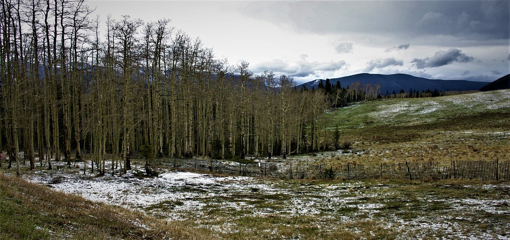
Spring Pasture: Near Cuchara, Colorado (CO)

2016_10_01_9529-HDR.jpg

Welcome to Winter!

Geological Formation

Bear Lake
Even more Sangres

Spanish Peaks
Topographic Map of CO-12, Weston, CO, USA
Find elevation by address:

Places near CO-12, Weston, CO, USA:
4170 Co-12
4170 Co-12
4170 Co-12
4170 Co-12
4170 Co-12
4170 Co-12
4170 Co-12
Colorado 12
Colorado 12
Colorado 12
5081 Co-12
110 S Lake Rd
55 Ruby Ln
110 N Lake Rd
South White Peak
200 S Lake Rd
Boyd Mountain
74 N Meadow Rd
12 Panadero Vista
12 Panadero Vista
Recent Searches:
- Elevation of Corso Fratelli Cairoli, 35, Macerata MC, Italy
- Elevation of Tallevast Rd, Sarasota, FL, USA
- Elevation of 4th St E, Sonoma, CA, USA
- Elevation of Black Hollow Rd, Pennsdale, PA, USA
- Elevation of Oakland Ave, Williamsport, PA, USA
- Elevation of Pedrógão Grande, Portugal
- Elevation of Klee Dr, Martinsburg, WV, USA
- Elevation of Via Roma, Pieranica CR, Italy
- Elevation of Tavkvetili Mountain, Georgia
- Elevation of Hartfords Bluff Cir, Mt Pleasant, SC, USA