Elevation of Cloverport, KY, USA
Location: United States > Kentucky > Breckinridge County >
Longitude: -86.632761
Latitude: 37.8333901
Elevation: 149m / 489feet
Barometric Pressure: 100KPa
Elevation Map:
Satellite Map:
Related Photos:
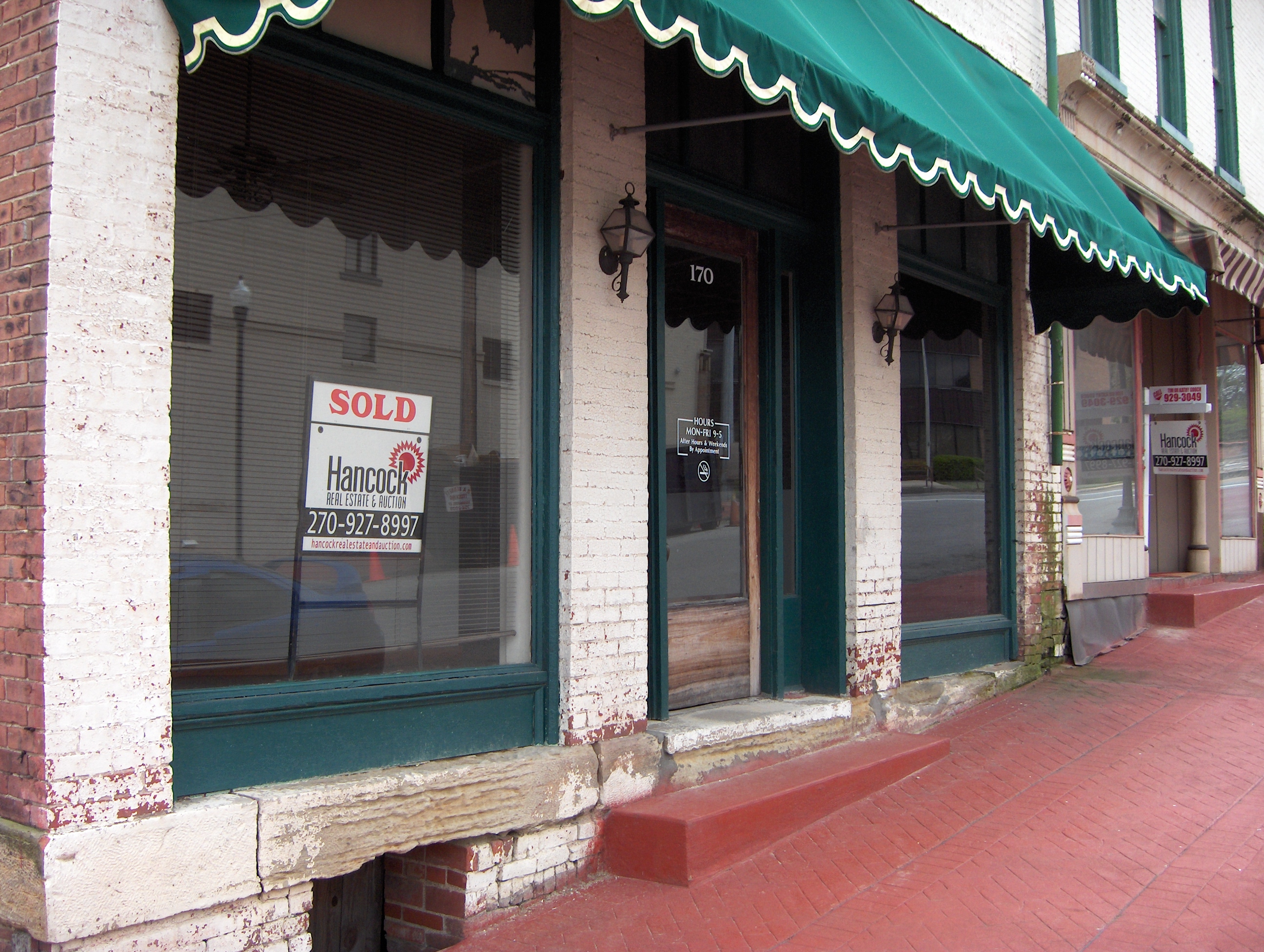
Another view
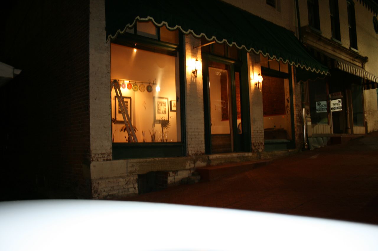
Night view

I was going to hunt this morning, but went hiking and scouting instead.
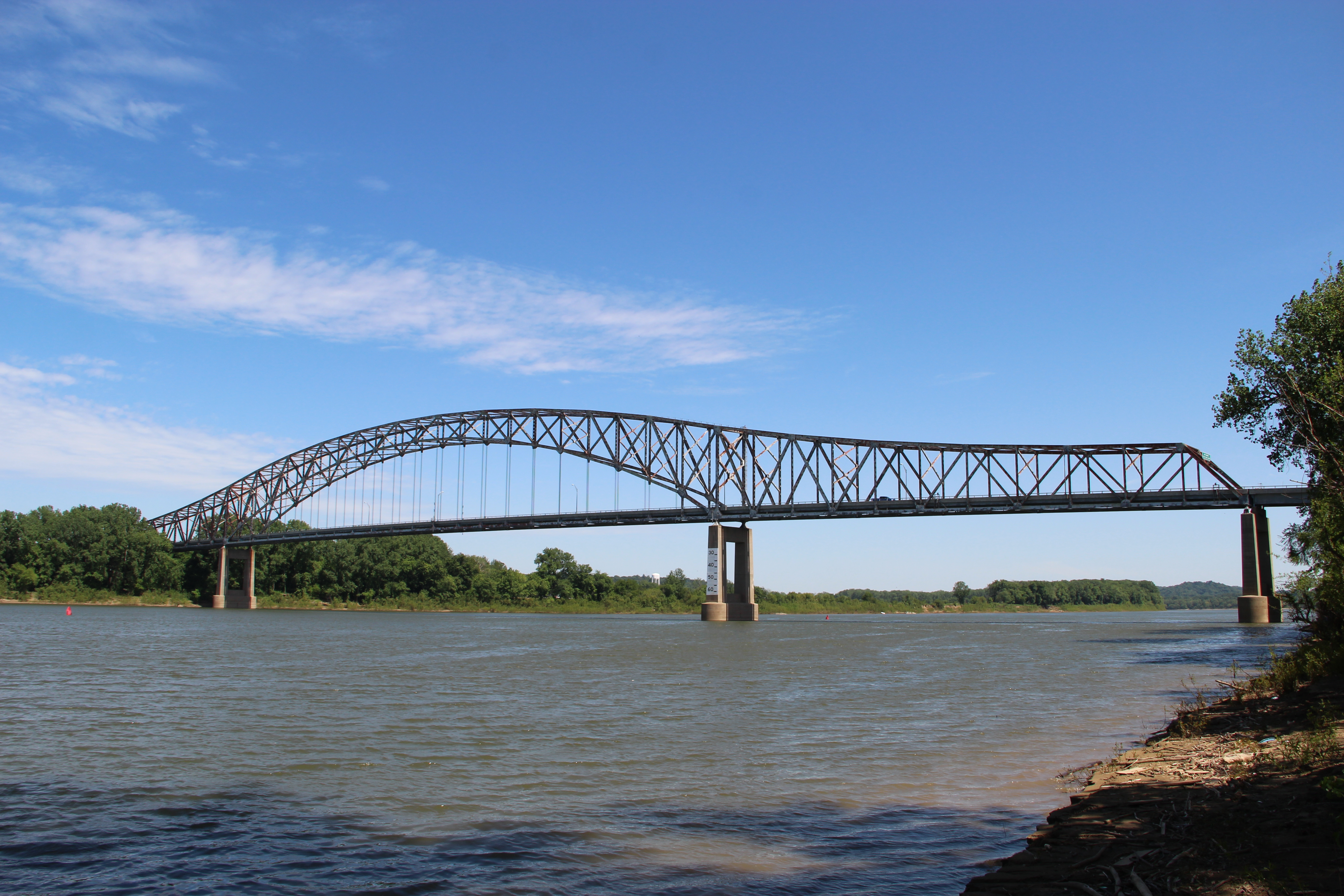
Bob Cummings – Lincoln Trail Bridge
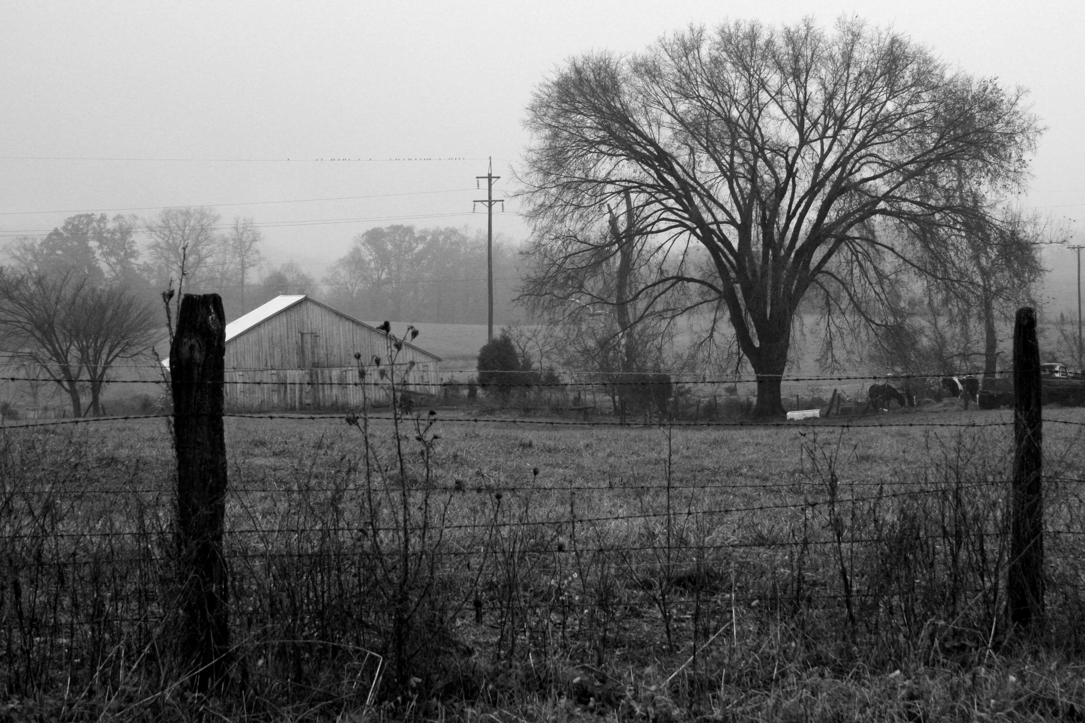
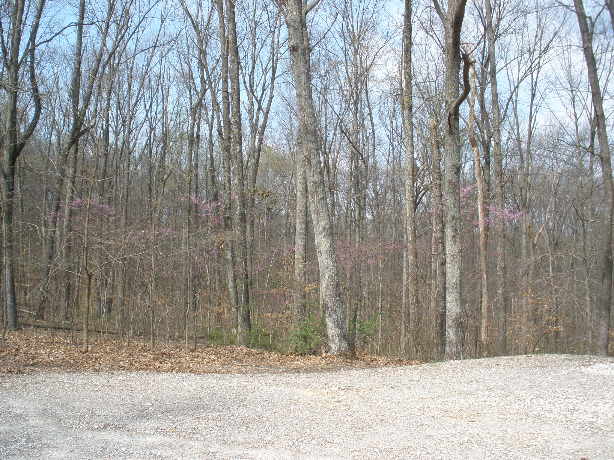
farm 01
German Ridge Day Use Area

Cannelton Locks from Kentucky. 7/12/2015.
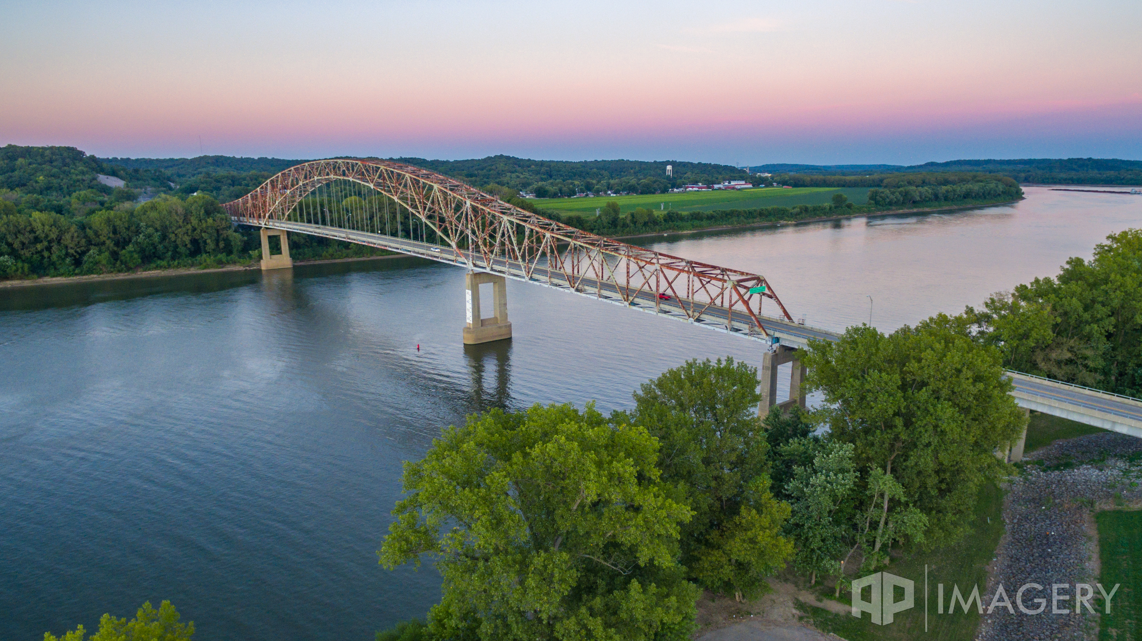
Aerial - Lincoln Trail Bridge
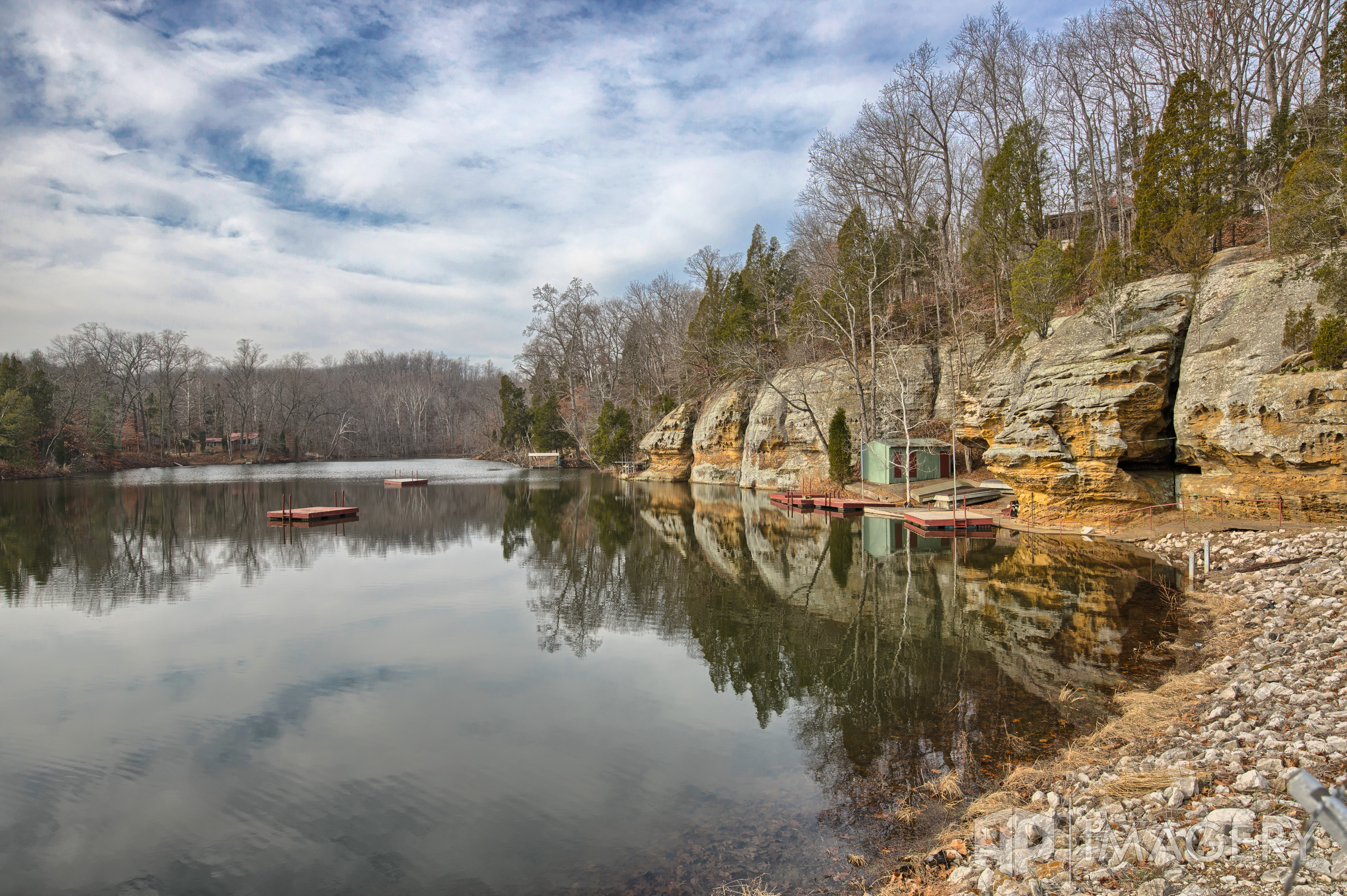
Indian Lake Club
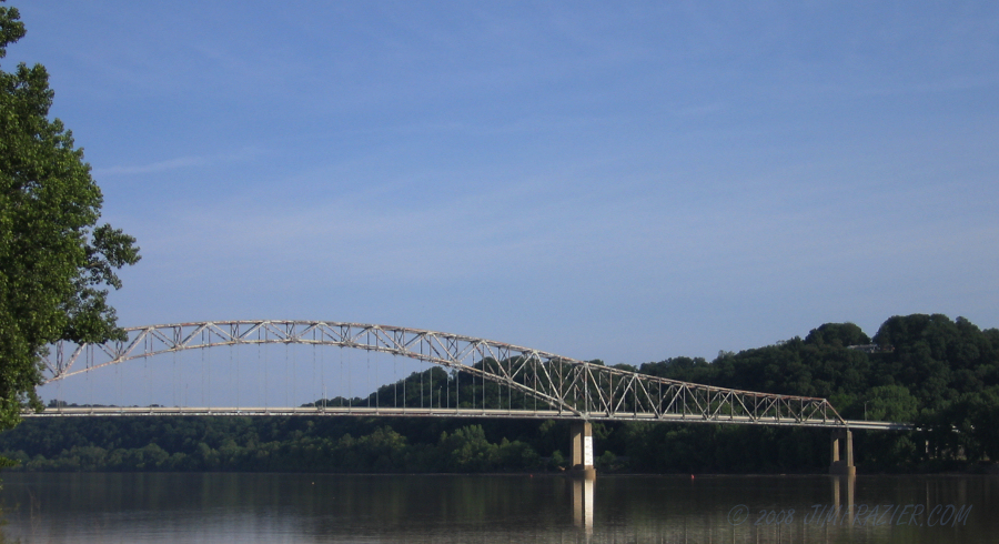
Bob Cummings - Lincoln Trail Bridge
Topographic Map of Cloverport, KY, USA
Find elevation by address:

Places in Cloverport, KY, USA:
Places near Cloverport, KY, USA:
Poplar St, Cloverport, KY, USA
Highwater Rd, Tobin Township, IN, USA
IN-, Rome, IN, USA
Addison Dam Rd, Rome, IN, USA
Tobin Township
Hancock County
Stephensport
Washington St, Cannelton, IN, USA
Cannelton
Madison St, Hawesville, KY, USA
Hawesville
Rome
Troy Township
Ed Wells Road
Reynolds Station
Breckinridge County
Tell City
Perry County News
9th St, Tell City, IN, USA
114 Breckwood Dr
Recent Searches:
- Elevation of Corso Fratelli Cairoli, 35, Macerata MC, Italy
- Elevation of Tallevast Rd, Sarasota, FL, USA
- Elevation of 4th St E, Sonoma, CA, USA
- Elevation of Black Hollow Rd, Pennsdale, PA, USA
- Elevation of Oakland Ave, Williamsport, PA, USA
- Elevation of Pedrógão Grande, Portugal
- Elevation of Klee Dr, Martinsburg, WV, USA
- Elevation of Via Roma, Pieranica CR, Italy
- Elevation of Tavkvetili Mountain, Georgia
- Elevation of Hartfords Bluff Cir, Mt Pleasant, SC, USA