Elevation of Addison Dam Rd, Rome, IN, USA
Location: United States > Indiana > Perry County > Tobin Township > Rome >
Longitude: -86.57093
Latitude: 37.926426
Elevation: 129m / 423feet
Barometric Pressure: 100KPa
Elevation Map:
Satellite Map:
Related Photos:
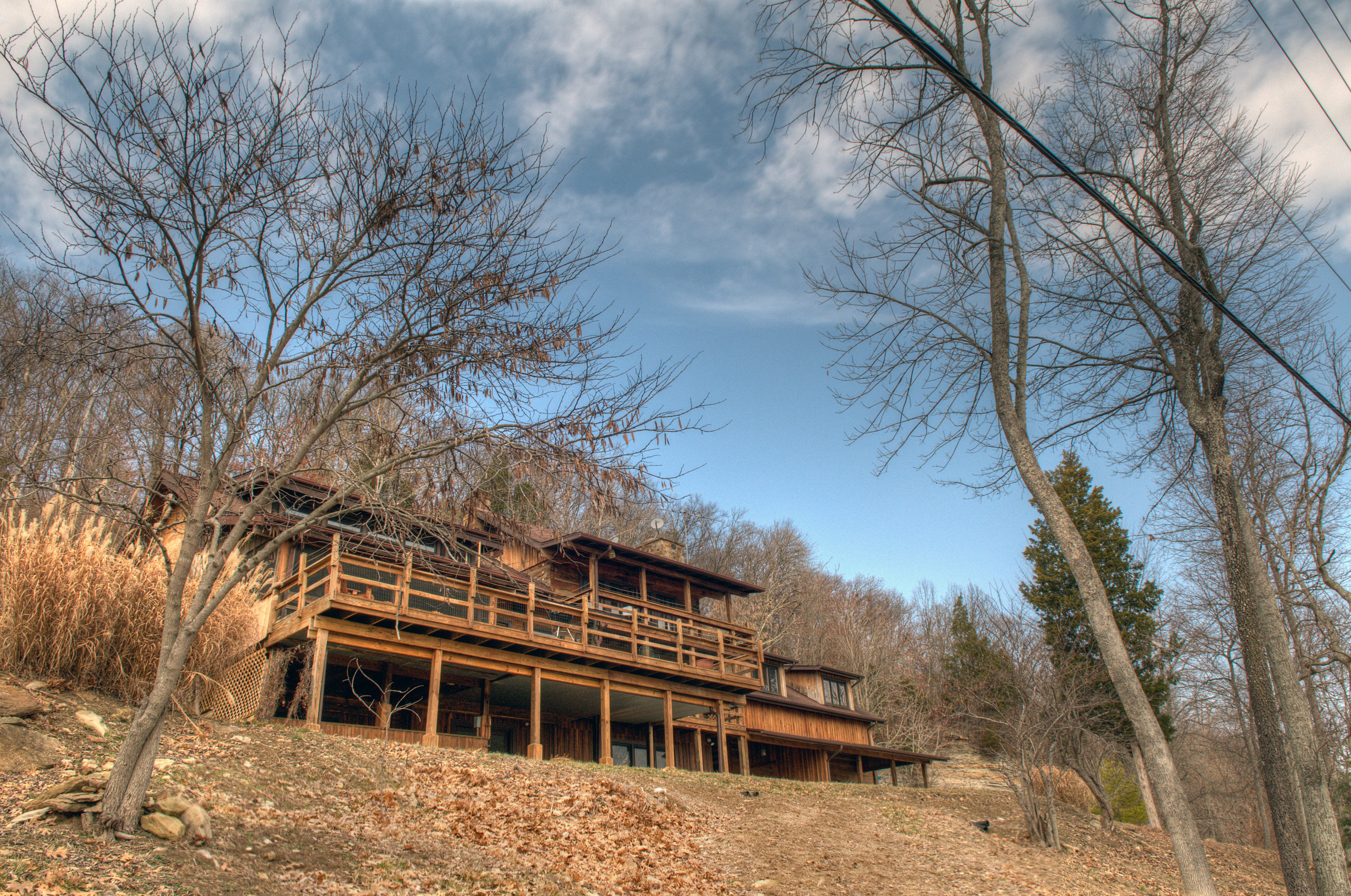
deck view

View From The Grave.

Another view
Picture Window

Night view
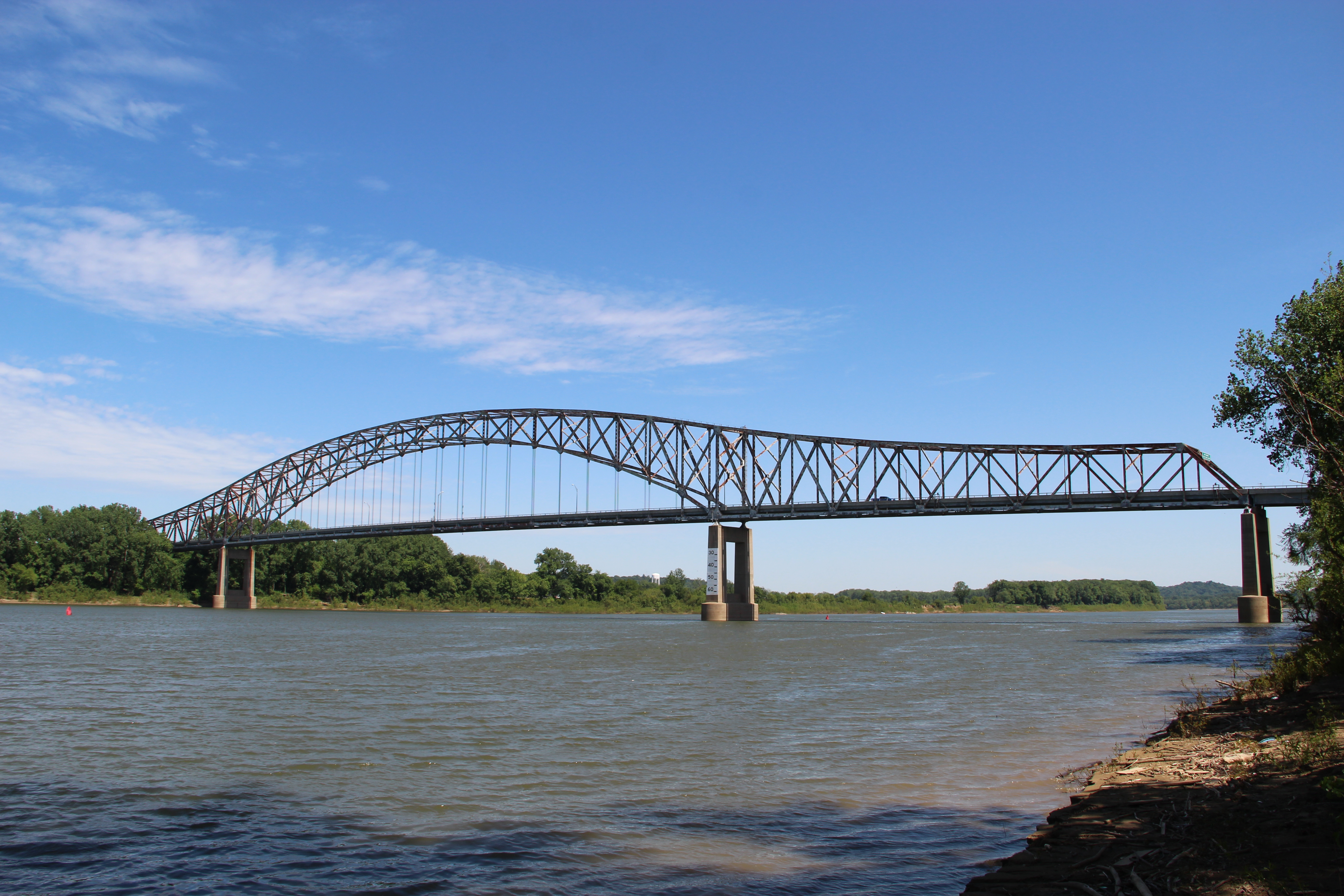
Bob Cummings – Lincoln Trail Bridge

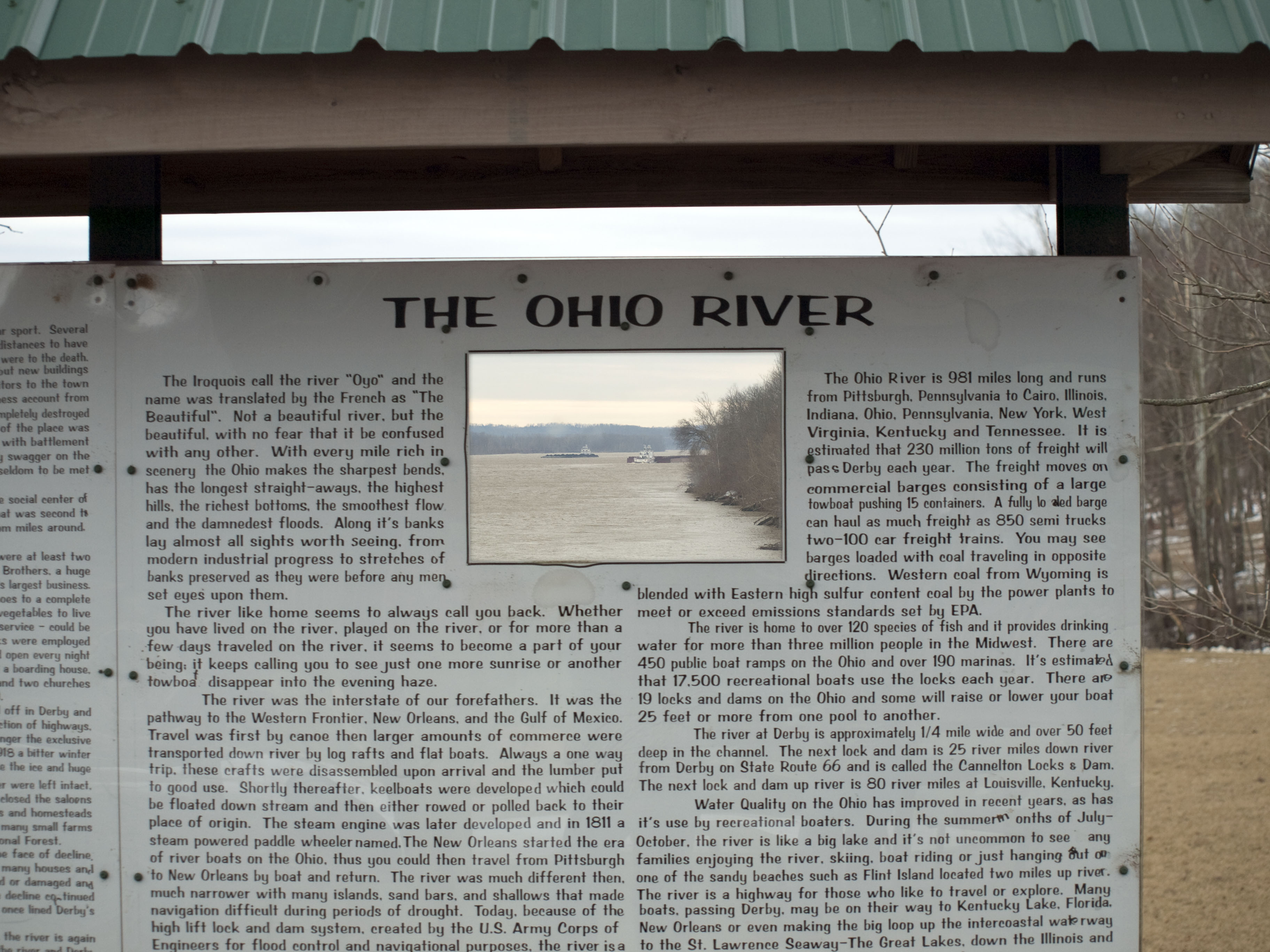
down by the river

cloud mirror

sunrise over the ohio river
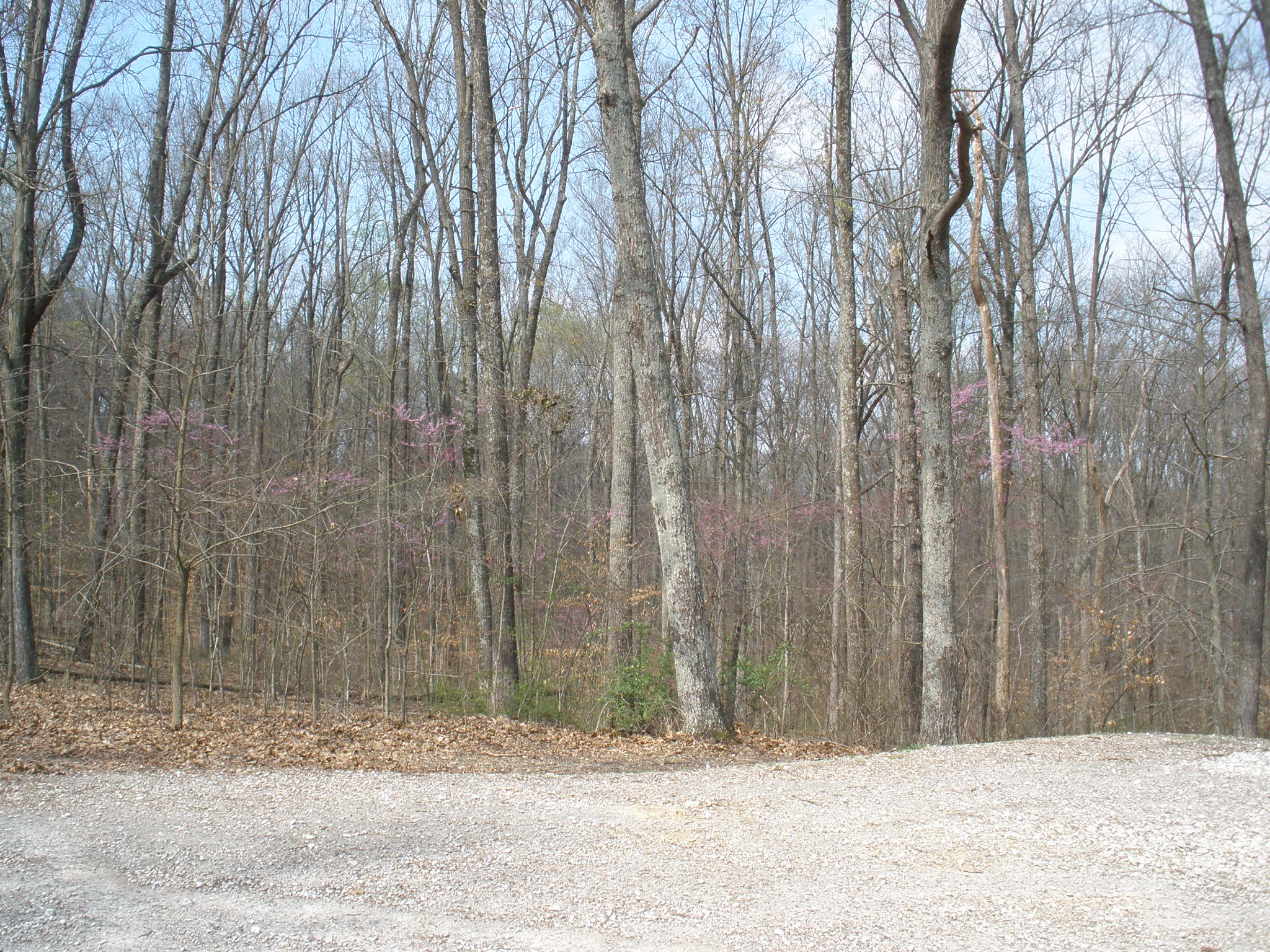
German Ridge Day Use Area

Cannelton Locks from Kentucky. 7/12/2015.
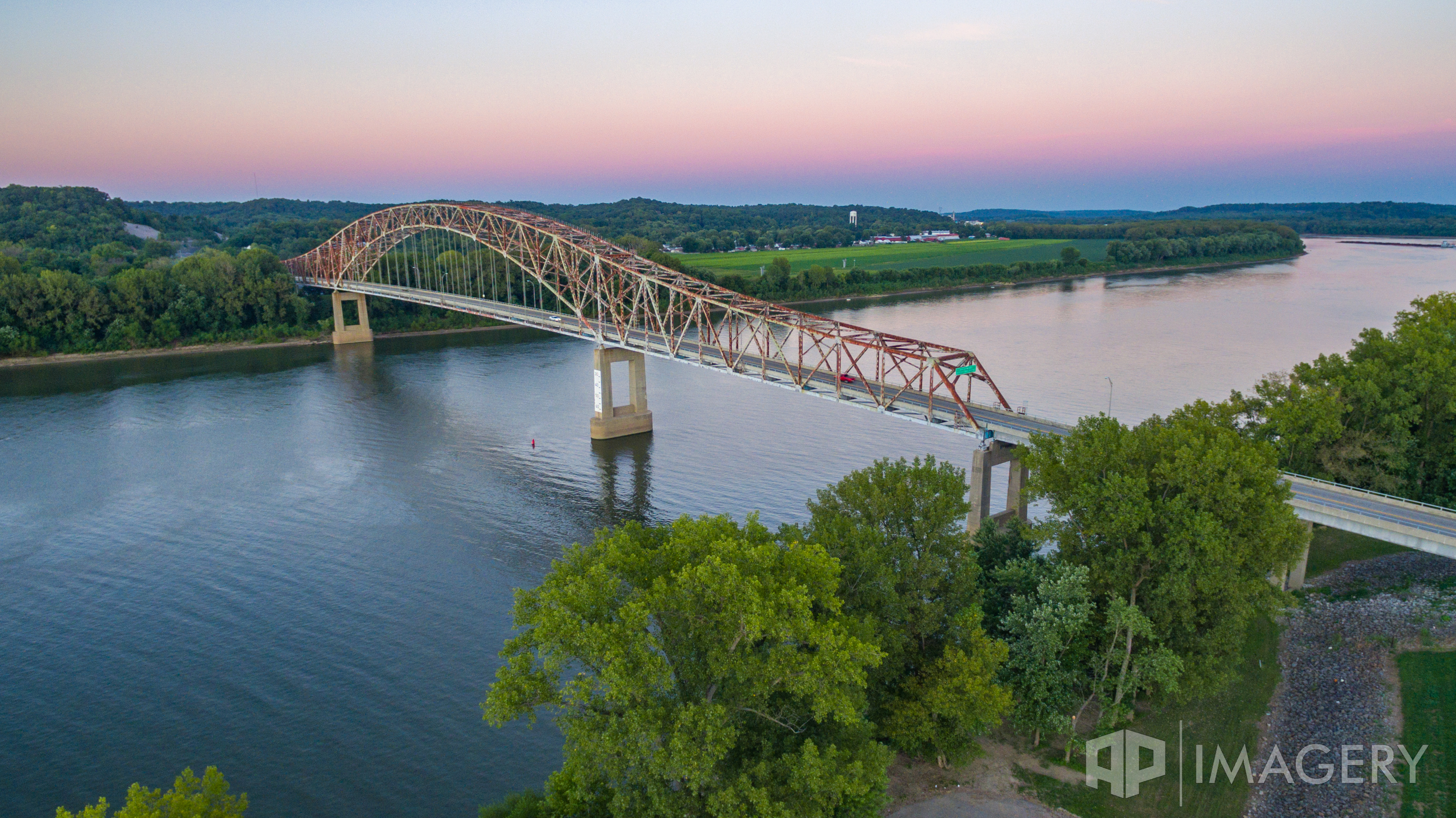
Aerial - Lincoln Trail Bridge
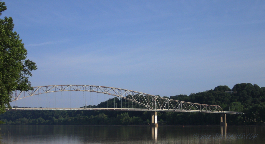
Bob Cummings - Lincoln Trail Bridge
Topographic Map of Addison Dam Rd, Rome, IN, USA
Find elevation by address:

Places near Addison Dam Rd, Rome, IN, USA:
Tobin Township
Stephensport
Rome
IN-, Rome, IN, USA
Highwater Rd, Tobin Township, IN, USA
Cloverport
Poplar St, Cloverport, KY, USA
KY-, Stephensport, KY, USA
Troy Township
Breckinridge County
Washington St, Cannelton, IN, USA
Cannelton
Hardinsburg
Madison St, Hawesville, KY, USA
Hawesville
114 Breckwood Dr
KY-, Rhodelia, KY, USA
Oak St, Hardinsburg, KY, USA
Tell City
9th St, Tell City, IN, USA
Recent Searches:
- Elevation of Corso Fratelli Cairoli, 35, Macerata MC, Italy
- Elevation of Tallevast Rd, Sarasota, FL, USA
- Elevation of 4th St E, Sonoma, CA, USA
- Elevation of Black Hollow Rd, Pennsdale, PA, USA
- Elevation of Oakland Ave, Williamsport, PA, USA
- Elevation of Pedrógão Grande, Portugal
- Elevation of Klee Dr, Martinsburg, WV, USA
- Elevation of Via Roma, Pieranica CR, Italy
- Elevation of Tavkvetili Mountain, Georgia
- Elevation of Hartfords Bluff Cir, Mt Pleasant, SC, USA