Elevation of Clear Brooks Drive, Clear Brooks Dr, Tennessee, USA

Location: United States > Tennessee > Sequatchie County >

Longitude: -85.372426

Latitude: 35.2250164

Elevation: -10000m / -32808feet

Barometric Pressure: 295KPa

Elevation Map:

elevation map of Clear Brooks Drive, Clear Brooks Dr, Tennessee, USA
Satellite Map:

Satellite map of Clear Brooks Drive, Clear Brooks Dr, Tennessee, USA

Related Photos:

road autumn trees orange fallleaves usa fall leaves america woods october tn tennessee explore walden signalmountain 52weeks project52 hamptonroad virginiabaileyphotography
Week 42: Orange
wood bridge light shadow usa brown mountain tree green nature water rain rock america creek forest river us day view unitedstates suspension stones fiume vivid natura ponte trail sentiero acqua montagna freshwater statiuniti andreamoscato
Middle Creek Bridge, Rainbow Lake Trail - Signal Mountain, Tennessee
blackandwhite bw usa church chattanooga america tn tennessee columns arches presbyterian fallingwater countrychurch soddydaisy hixson
Falling Water Presbyterian Church
fern tennessee polypodiaceae epiphyte marioncounty polypody pleopeltis pleopeltispolypodioides ressurectionfern geo:lat=35087906 geo:lon=85391471
Pleopeltis polypodioides var. michauxiana (Resurrection Fern) Polypodiaceae
waterfall tn tennessee marioncounty dixiehighway waldenridge waldensridge bmok tn27 prenticecooperstateforest bmok101 suckcreekrd
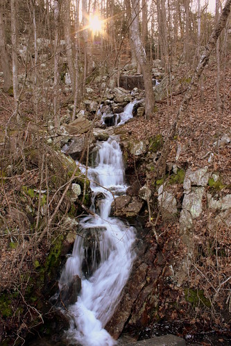
Unnamed waterfall two seen along the old Dixie Highway
waterfall tn tennessee marioncounty dixiehighway waldenridge waldensridge bmok tn27 prenticecooperstateforest suckcreekrd
Unnamed waterfall one seen along the old Dixie Highway
garbage tennessee pit caves caving cccp whitwell marioncounty cavers dirtyjobs horshoebend sktf serakarsttaskforce ©lynnroebuck sewaneemtngrotto sktfvolunteers allvolunteer downthroughtheagespeopleshabitsarealwaysfamiliar volunteercleaning
Whitwell TN Garbage
geotagged tennessee euonymus marioncounty euonymusamericanus heartsabustin celastraceae tennesseerivergorge geo:lat=350901 geo:lon=853983
Euonymus americanus (Hearts-a-Bustin') Celastraceae
geotagged tennessee fabaceae marioncounty partridgepea chamaecristafasciculata chamaecrista tennesseerivergorge geo:lat=35089947 geo:lon=8539734
Chamaecrista fasciculata (Partridge Pea) Fabaceae
geotagged tennessee asteraceae marioncounty vernonia vernoniaaltissima ironweed tallironweed vernoniagigantea tennesseerivergorge geo:lat=35089907 geo:lon=85396964
Vernonia gigantea (Tall Ironweed) Asteraceae
square squareformat iphoneography instagramapp uploaded:by=instagram foursquare:venue=4e28a01a18a83a1362346223
My view of the Wedding. I am running this sound board today. I have been running the sound system at church for a lot of years.
trees sky bw mountains water clouds forest river blackwhite wake gorge
Wake, river, and Sky
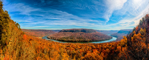
panorama usa chattanooga landscape geotagged unitedstates hiking tennessee hdr edwardspoint cumberlandtrail tennesseestateparks geo:country=unitedstates camera:make=canon exif:make=canon geo:state=tennessee nashvillehikingmeetup tamronaf1750mmf28spxrdiiivc canon7dmkii exif:lens=1750mm exif:aperture=ƒ11 geo:city=chattanooga exif:isospeed=320 exif:focallength=26mm camera:model=canoneos7dmarkii exif:model=canoneos7dmarkii tennesseerivergorgesegment geo:location=edwardspoint geo:lat=35130833333333 signalpointtosuckcreekrd thejustinpwilsoncumberlandtrailstatescenictrailstatepark geo:lat=3513073500 geo:lon=8538161000 geo:lon=85381666666667
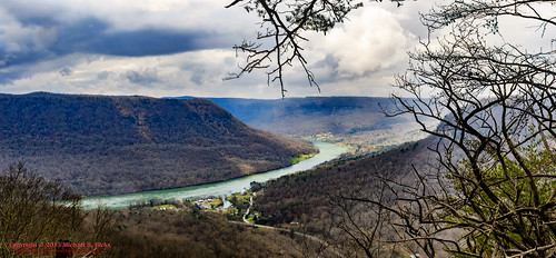
Last view of the Tennessee River
chattanooga landscape tennessee lookoutmountain hdr tennesseeriver signalmountain tamron1750mmf28di canoneos40d racoonmountain ronmayhew
View from Signal Mtn Point Park
panorama usa chattanooga geotagged unitedstates tennessee stanley hdr tennesseeriver hik ptgui photomatix cumberlandtrail tennesseestateparks cumberlandtrailstatepark mullenscove geo:lat=3510187443 geo:lon=8542464167 prenticecooperstateforest tennesseerivergorgesegment mullenscoveloop
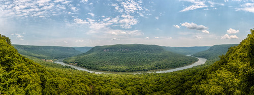
Mullen's Cove
cliff sun fall leaves clouds view rolling brow signalmountain hlls
WBrowSignalMtn-4
trees chattanooga nature forest river nokia woods view tennessee hills smartphone ilobsterit lumia1020
Signal Mountain, Tennessee
thechallengefactory
Enjoying the View
cliff sun fall leaves clouds view rolling brow signalmountain hlls
WBrowSignalMtn-5
autumn trees red cliff brown sun tree green fall grass leaves rock fog clouds haze bush rocks view dirt rolling brow signalmountain hlls
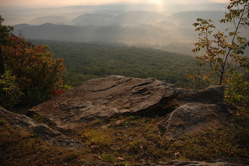
The Rock
cliff sun fall leaves clouds view rolling brow signalmountain hlls
WBrowSignalMtn-1
road autumn trees orange fall chattanooga leaves rock woods october tn tennessee country boulder walden signalmountain
Caution: Boulder
waterfall unitedstates tennessee waterfalls soddydaisy cumberlandtrail tennesseestateparks exif:isospeed=500 geo:state=tennessee cumberlandtrailstatepark geo:countrys=unitedstates exif:aperture=ƒ80 geo:lat=352675 northchickamaugatrailsegmentofthecumberlandtrail geo:city=soddydaisy coopercreekfalls geo:lon=85263611111112 northchickamaugacreeksegment
Cooper Creek Falls - North Chickamauga Trail Segment of the Cumberland Trail - February 16, 2013
chattanooga tennessee unitedstates us
Roadside Waterfall #2-b
usa geotagged unitedstates tennessee soddydaisy cumberlandtrail tennesseestateparks cumberlandtrailstatepark geo:lat=3526532320 geo:lon=8526315260 mimosatrailerpark mowbraymountain northchickamaugacreeksegment
North Chickamauga Trail Segment of the Cumberland Trail
usa geotagged waterfall unitedstates tennessee waterfalls soddydaisy cumberlandtrail tennesseestateparks cumberlandtrailstatepark geo:lat=3526415535 geo:lon=8525472141 mimosatrailerpark mowbraymountain northchickamaugacreeksegment
North Chickamauga Trail Segment of the Cumberland Trail
usa geotagged unitedstates tennessee soddydaisy cumberlandtrail tennesseestateparks cumberlandtrailstatepark geo:lat=3526435232 geo:lon=8525457868 mimosatrailerpark mowbraymountain northchickamaugacreeksegment
North Chickamauga Trail Segment of the Cumberland Trail
usa geotagged unitedstates tennessee soddydaisy cumberlandtrail tennesseestateparks cumberlandtrailstatepark geo:lat=3526439365 geo:lon=8525461589 mimosatrailerpark mowbraymountain northchickamaugacreeksegment
North Chickamauga Trail Segment of the Cumberland Trail
usa geotagged waterfall unitedstates tennessee waterfalls soddydaisy cumberlandtrail tennesseestateparks cumberlandtrailstatepark mimosatrailerpark mowbraymountain geo:lat=3526438900 geo:lon=8525443100 northchickamaugacreeksegment
North Chickamauga Trail Segment of the Cumberland Trail
usa chattanooga geotagged unitedstates tennessee stanley tennesseeriver ptgui photomatix cumberlandtrail tennesseestateparks cumberlandtrailstatepark geo:lat=3510186243 geo:lon=8542412945 potpointloop tennesseerivergorgesegment
Pot Point Loop - Snooper's Rock Overlook
Signal Mountain: Edwards Point
usa geotagged waterfall unitedstates tennessee grant waterfalls soddydaisy cumberlandtrail tennesseestateparks cumberlandtrailstatepark mimosatrailerpark geo:lat=3526776300 geo:lon=8526350200 northchickamaugacreeksegment
North Chickamauga Trail Segment of the Cumberland Trail
Signal Mountain: Edwards Point
waterfall unitedstates tennessee waterfalls soddydaisy cumberlandtrail tennesseestateparks camera:make=canon exif:make=canon exif:focallength=18mm exif:isospeed=500 geo:state=tennessee cumberlandtrailstatepark geo:countrys=unitedstates camera:model=canoneos7d exif:model=canoneos7d exif:lens=18200mm northchickamaugatrailsegmentofthecumberlandtrail geo:city=soddydaisy coopercreekfalls geo:lat=35267498333333 geo:lon=85263645 northchickamaugacreeksegment
Cooper Creek Falls - North Chickamauga Trail Segment of the Cumberland Trail - February 16, 2013
usa geotagged unitedstates tennessee huckleberry soddydaisy cumberlandtrail tennesseestateparks cumberlandtrailstatepark mimosatrailerpark geo:lat=3525284475 geo:lon=8524093625 northchickamaugacreeksegment
North Chickamauga Trail Segment of the Cumberland Trail
geotagged unitedstates hiking tennessee huckleberry soddydaisy cumberlandtrail tennesseestateparks camera:make=canon exif:make=canon exif:focallength=18mm exif:isospeed=125 geo:state=tennessee cumberlandtrailstatepark geo:countrys=unitedstates camera:model=canoneos7d exif:model=canoneos7d exif:lens=18200mm exif:aperture=ƒ90 mimosatrailerpark northchickamaugatrailsegmentofthecumberlandtrail geo:city=soddydaisy geo:lat=3524613800 geo:lon=8523562600 geo:lat=35246138333333 geo:lon=85235626666667 northchickamaugacreeksegment
North Chickamauga Trail Segment of the Cumberland Trail - February 16, 2013
usa geotagged unitedstates tennessee grant soddydaisy cumberlandtrail tennesseestateparks cumberlandtrailstatepark mimosatrailerpark geo:lat=3526777989 geo:lon=8526508567 northchickamaugacreeksegment
North Chickamauga Trail Segment of the Cumberland Trail
usa chattanooga geotagged unitedstates tennessee stanley ptgui photomatix cumberlandtrail tennesseestateparks cumberlandtrailstatepark geo:lat=3512341667 geo:lon=8537706667 tennesseerivergorgesegment signaledwardspointssection
Tennessee River Segment Cumberalnd Trail State Park - Edward's Point
usa chattanooga geotagged unitedstates tennessee carriagehill cumberlandtrail tennesseestateparks cumberlandtrailstatepark timberlinks geo:lat=3513084967 geo:lon=8536133450 tennesseerivergorgesegment signaledwardspointssection
Signal Mountain
trees chattanooga nature forest nokia woods rocks tennessee smartphone ilobsterit lumia1020
Signal Mountain, Tennessee