Elevation of 2 Fern Mist Trail, Signal Mountain, TN, USA
Location: United States > Tennessee > Sequatchie County >
Longitude: -85.368244
Latitude: 35.2292425
Elevation: 571m / 1873feet
Barometric Pressure: 95KPa
Elevation Map:
Satellite Map:
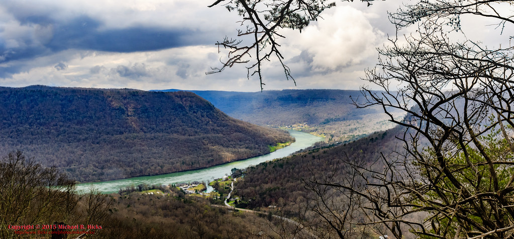
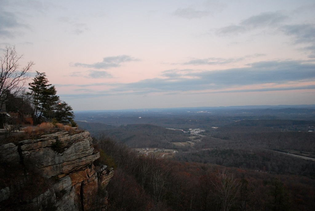
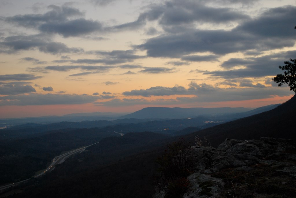
Related Photos:
Signal Mountain, Tennessee

Falling Water Presbyterian Church

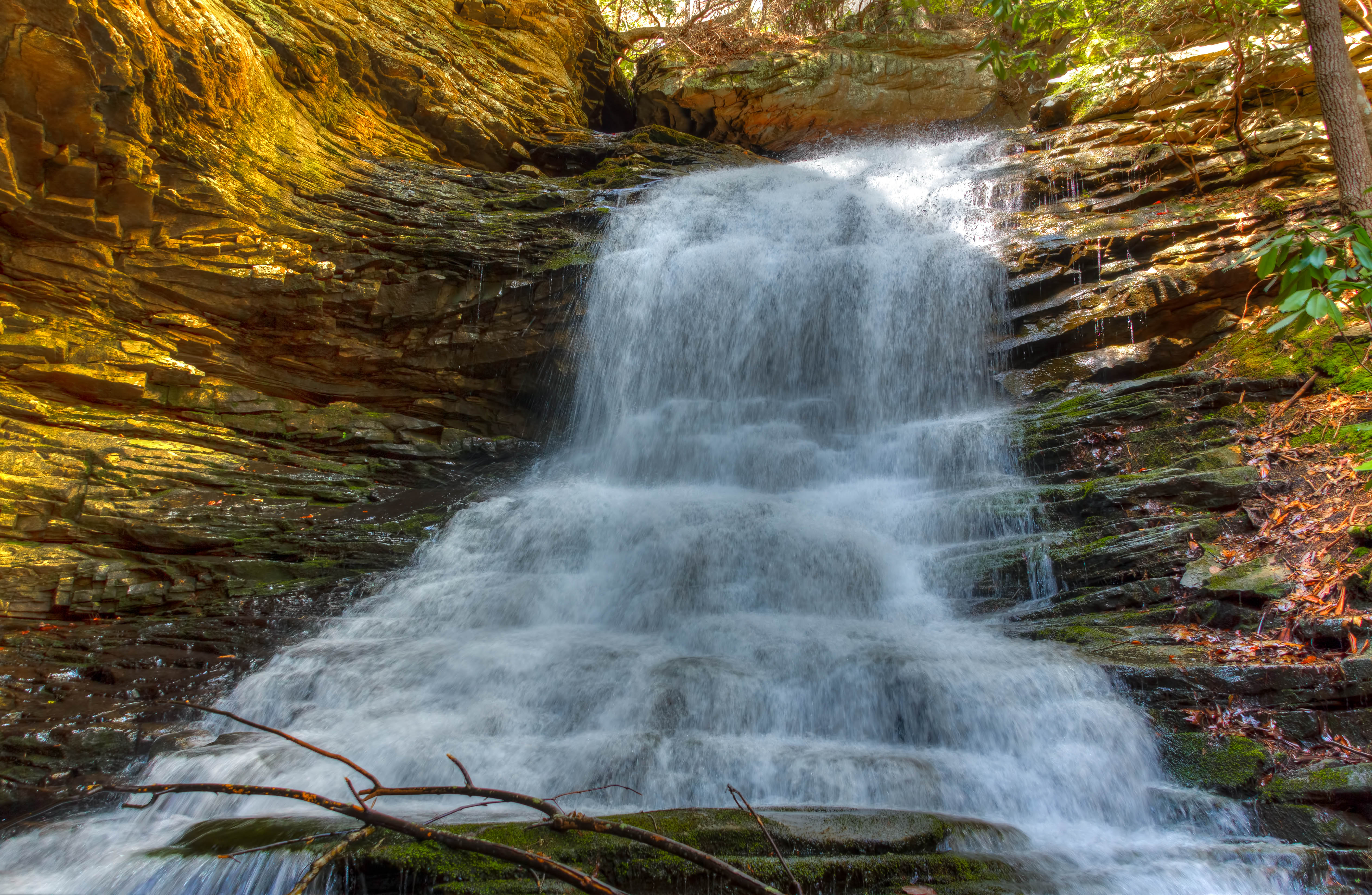
Unnamed waterfall two seen along the old Dixie Highway
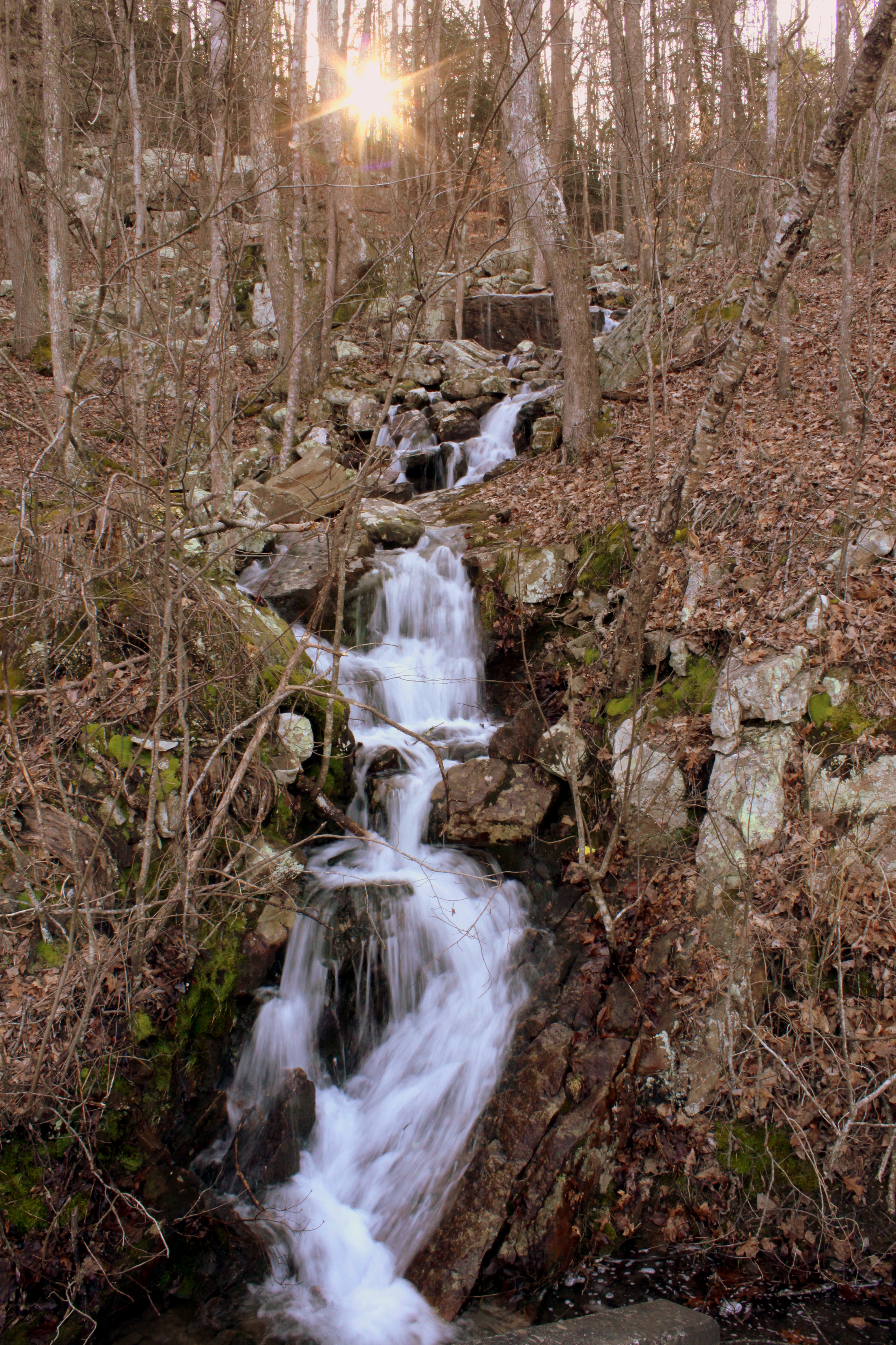
Unnamed waterfall one seen along the old Dixie Highway

Week 42: Orange

Middle Creek Bridge, Rainbow Lake Trail - Signal Mountain, Tennessee

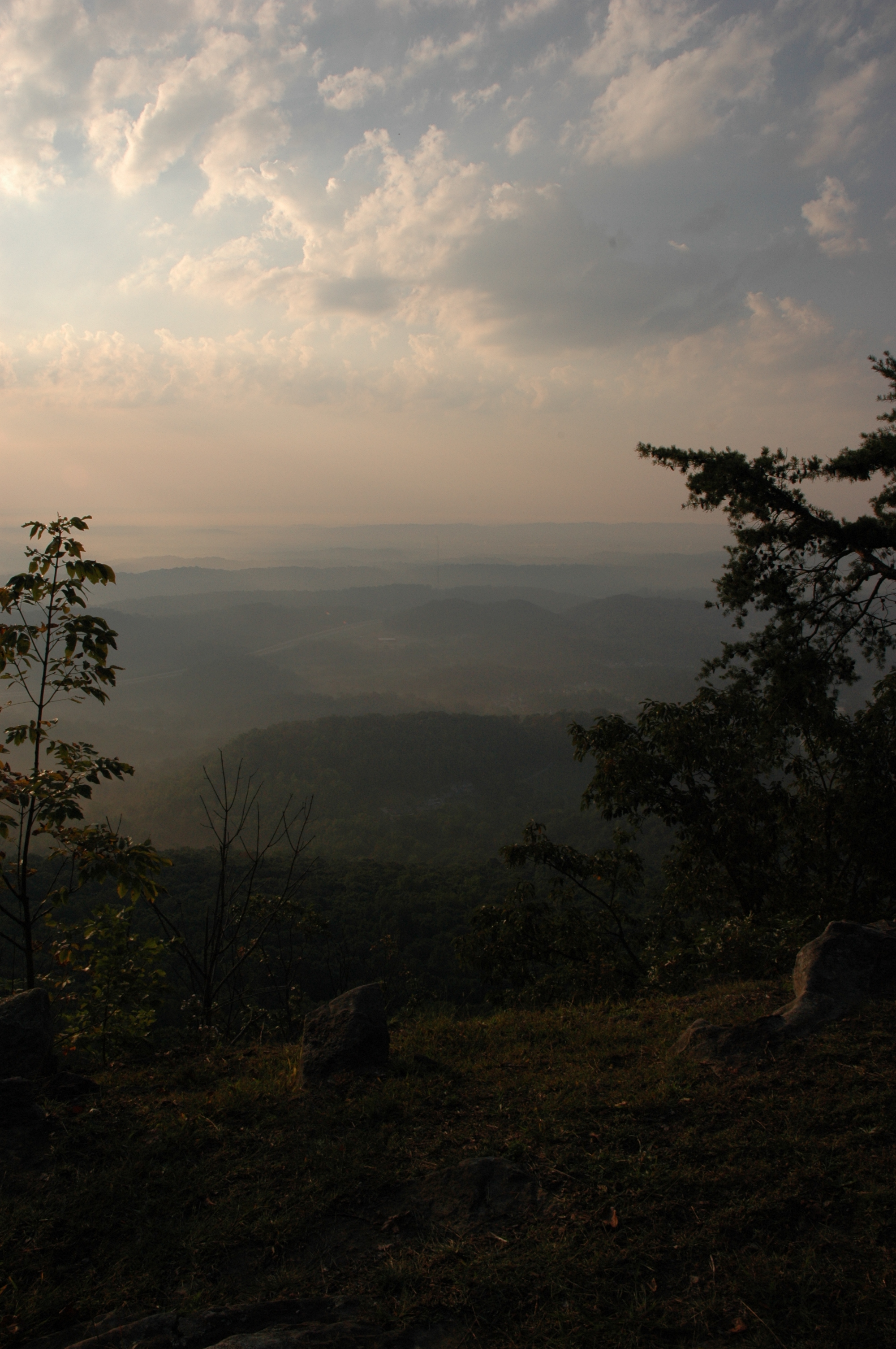
View from Signal Mtn Point Park
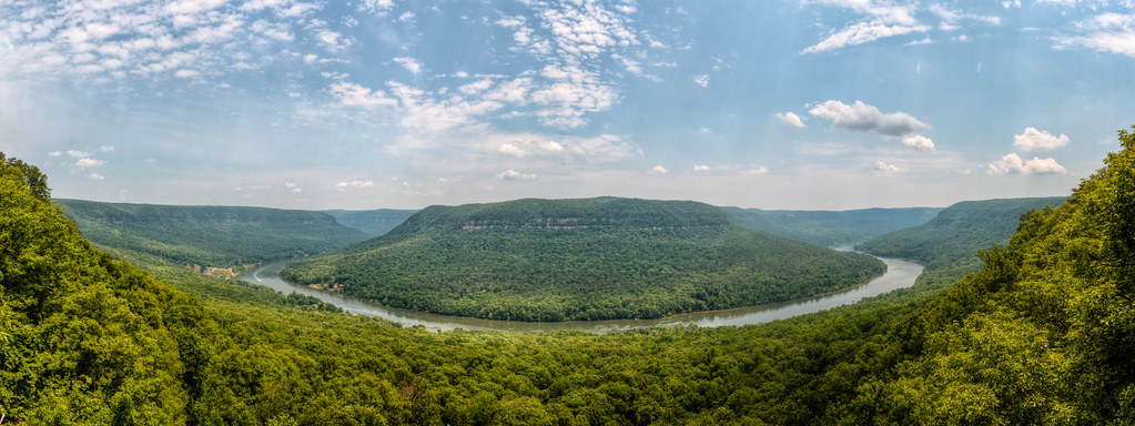
Mullen's Cove

WBrowSignalMtn-4

The Rock

Enjoying the View

WBrowSignalMtn-1

WBrowSignalMtn-2

Karst Clean Up Whitwell TN
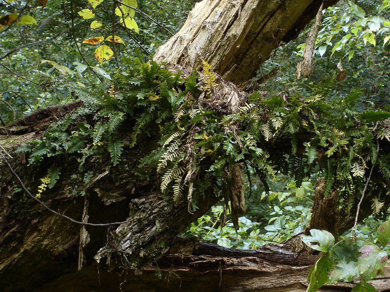
Pleopeltis polypodioides var. michauxiana (Resurrection Fern) Polypodiaceae
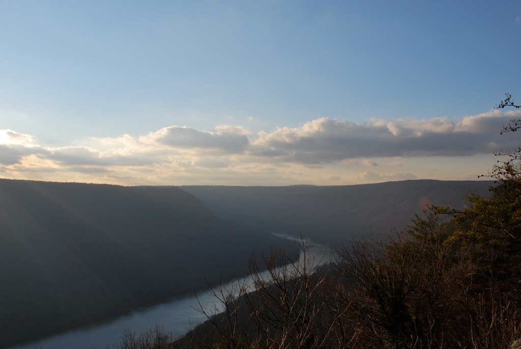
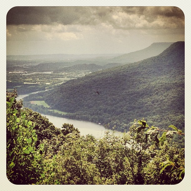
The View from Signal Mountain
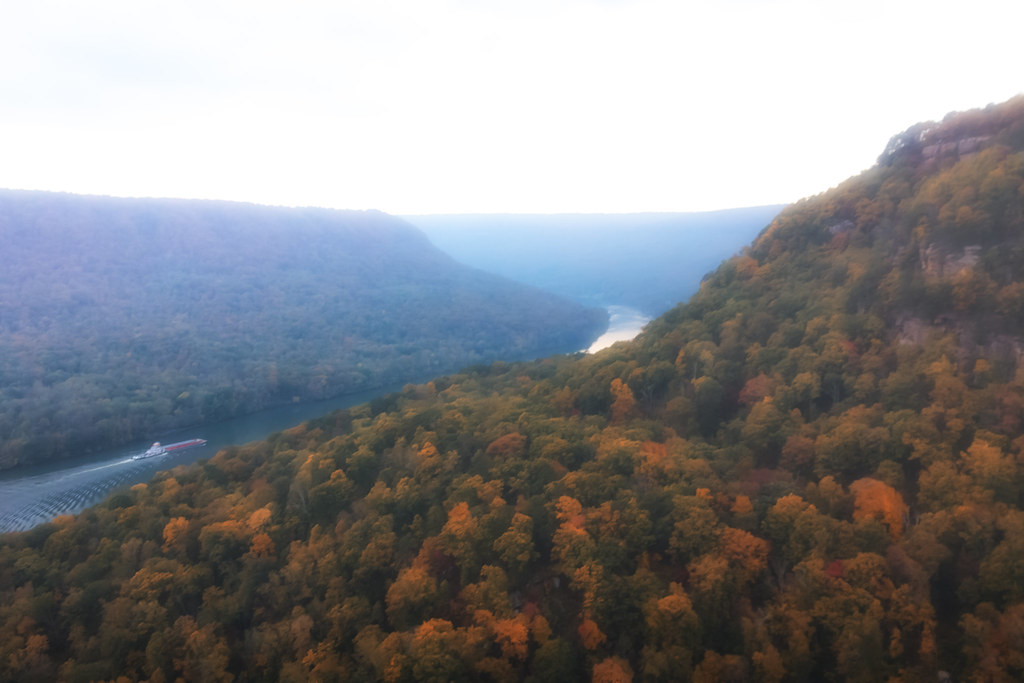
Last view of the Tennessee River
The View from Signal Mountain
The View from Signal Mountain
What a view!
WBrowSignalMtn-3

Pot Point Loop - Snooper's Rock Overlook

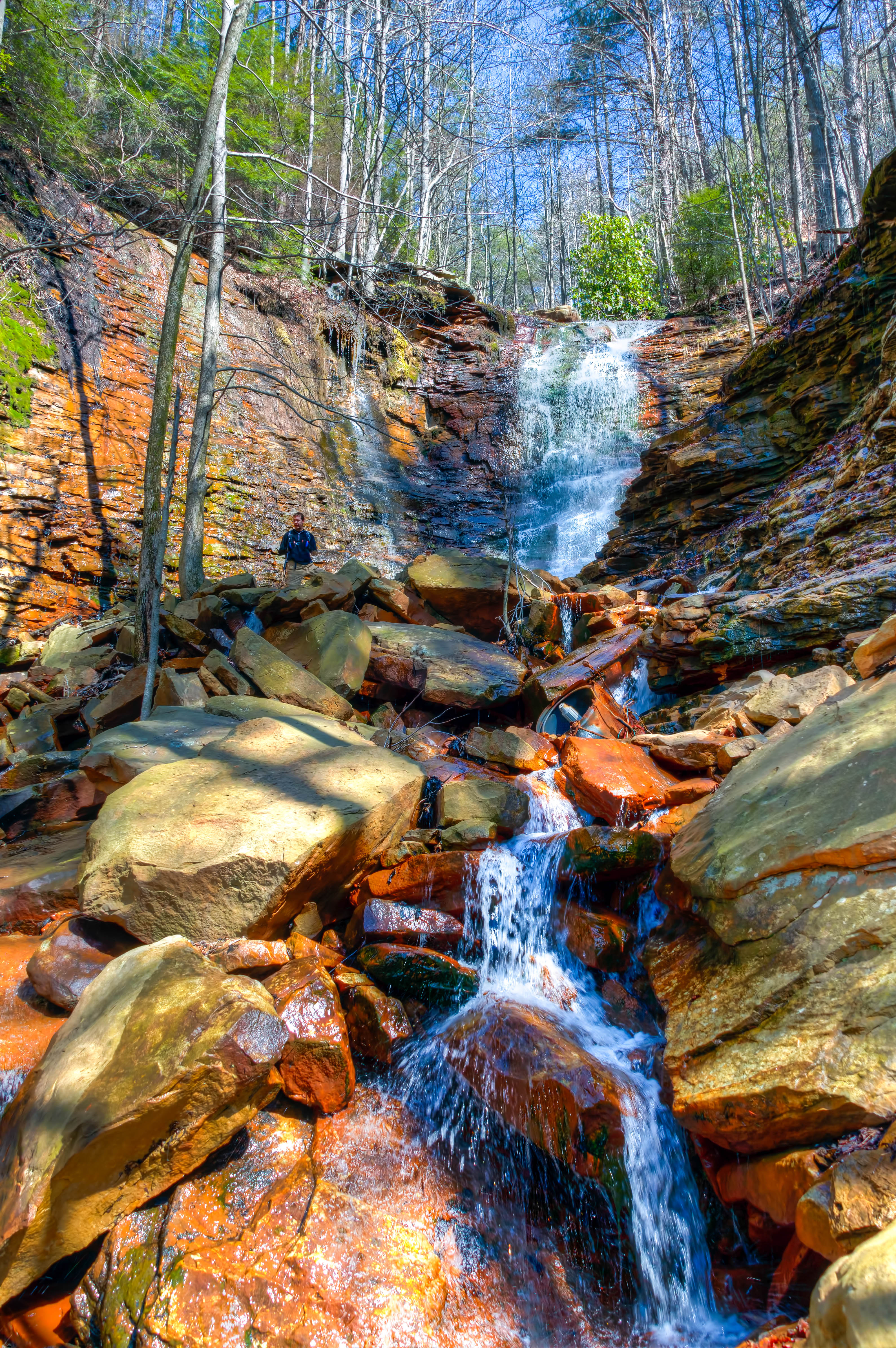
Cooper Creek Falls - North Chickamauga Trail Segment of the Cumberland Trail - February 16, 2013
North Chickamauga Trail Segment of the Cumberland Trail

North Chickamauga Trail Segment of the Cumberland Trail - February 16, 2013

North Chickamauga Trail Segment of the Cumberland Trail

The Woods of Chattanooga

111024 Dunlap, TN

Caution: Boulder

Cooper Creek Falls - North Chickamauga Trail Segment of the Cumberland Trail - February 16, 2013
North Chickamauga Trail Segment of the Cumberland Trail
North Chickamauga Trail Segment of the Cumberland Trail
Cooper Creek Falls - North Chickamauga Trail Segment of the Cumberland Trail - February 16, 2013

Tennessee River Segment Cumberalnd Trail State Park - Edward's Point

North Chickamauga Trail Segment of the Cumberland Trail

Signal Mountain

Mullens Cove Loop

Mullens Cove Loop
North Chickamauga Trail Segment of the Cumberland Trail
Topographic Map of 2 Fern Mist Trail, Signal Mountain, TN, USA
Find elevation by address:

Places near 2 Fern Mist Trail, Signal Mountain, TN, USA:
Clear Brooks Drive
736 Clear Brooks Dr
2210 Holly St
2312 Covington Cove Ln
Fairmount
Mountain Hollow Drive
992 Choctaw Trail
7626 Sawyer Rd
400 Farmington Ln
1510 Laurel Breeze Ln
2318 Little Bend Rd
259 Daus Mill Rd
Little Bend Road
898 Levi Cemetery Rd
506 Hudlow Loop Rd
506 Hudlow Loop Rd
506 Hudlow Loop Rd
2318 Little Bend Rd
Hidden Ridge Loop
2300 Little Bend Rd
Recent Searches:
- Elevation of Corso Fratelli Cairoli, 35, Macerata MC, Italy
- Elevation of Tallevast Rd, Sarasota, FL, USA
- Elevation of 4th St E, Sonoma, CA, USA
- Elevation of Black Hollow Rd, Pennsdale, PA, USA
- Elevation of Oakland Ave, Williamsport, PA, USA
- Elevation of Pedrógão Grande, Portugal
- Elevation of Klee Dr, Martinsburg, WV, USA
- Elevation of Via Roma, Pieranica CR, Italy
- Elevation of Tavkvetili Mountain, Georgia
- Elevation of Hartfords Bluff Cir, Mt Pleasant, SC, USA