Elevation map of Chungcheongbuk-do, South Korea
Location: South Korea >
Longitude: 127.7
Latitude: 36.8
Elevation: 220m / 722feet
Barometric Pressure: 99KPa
Elevation Map:
Satellite Map:
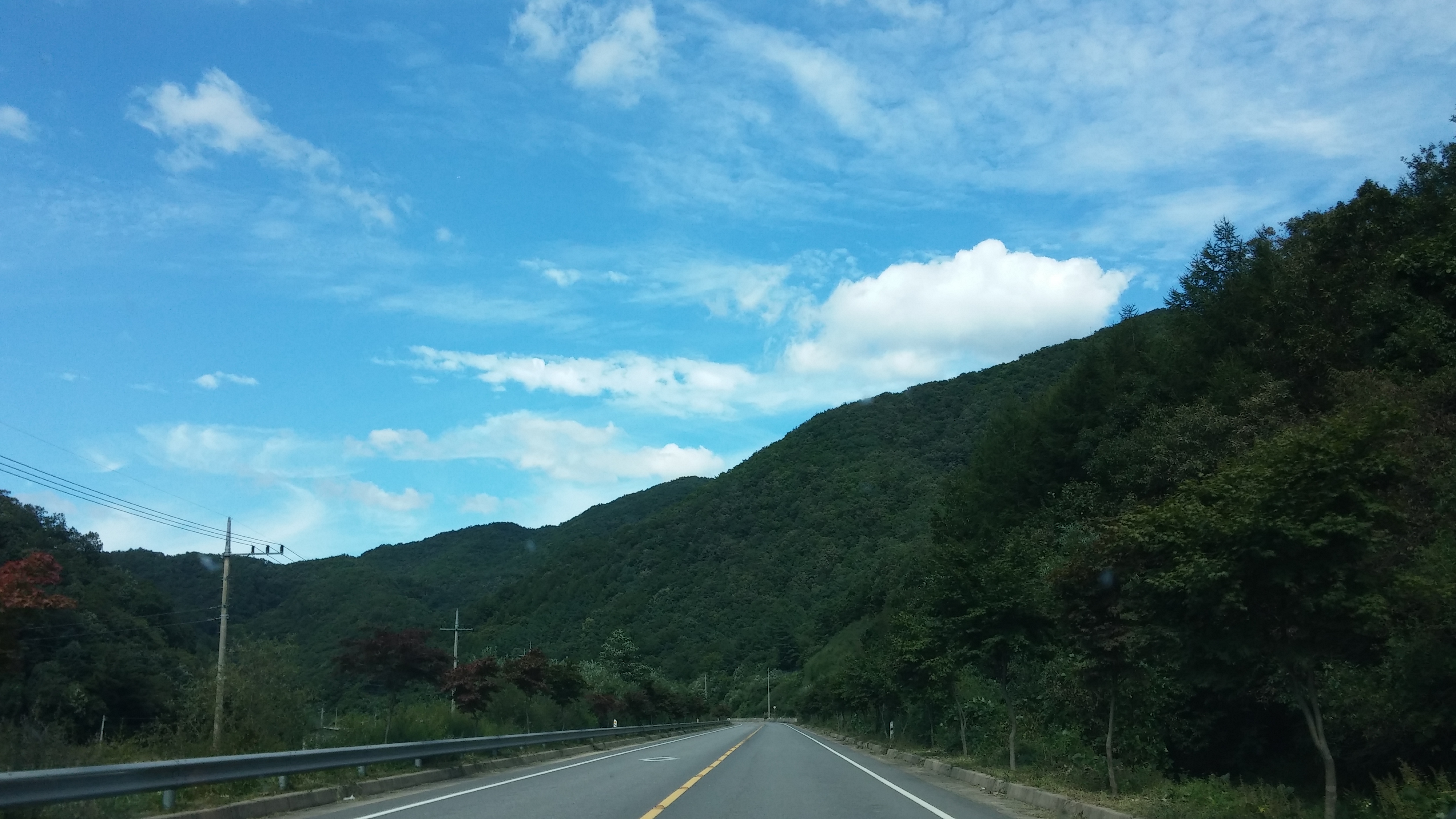
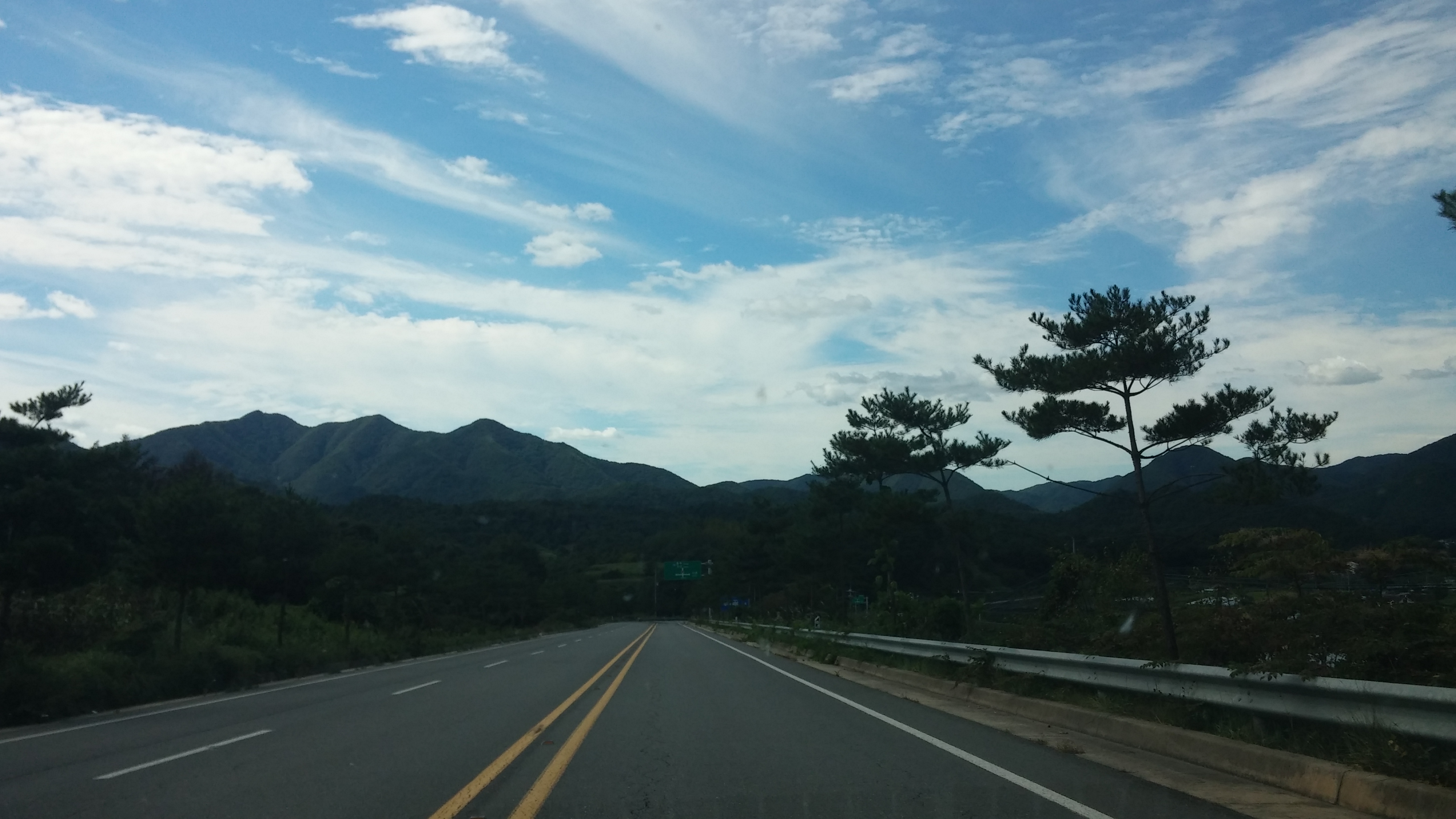
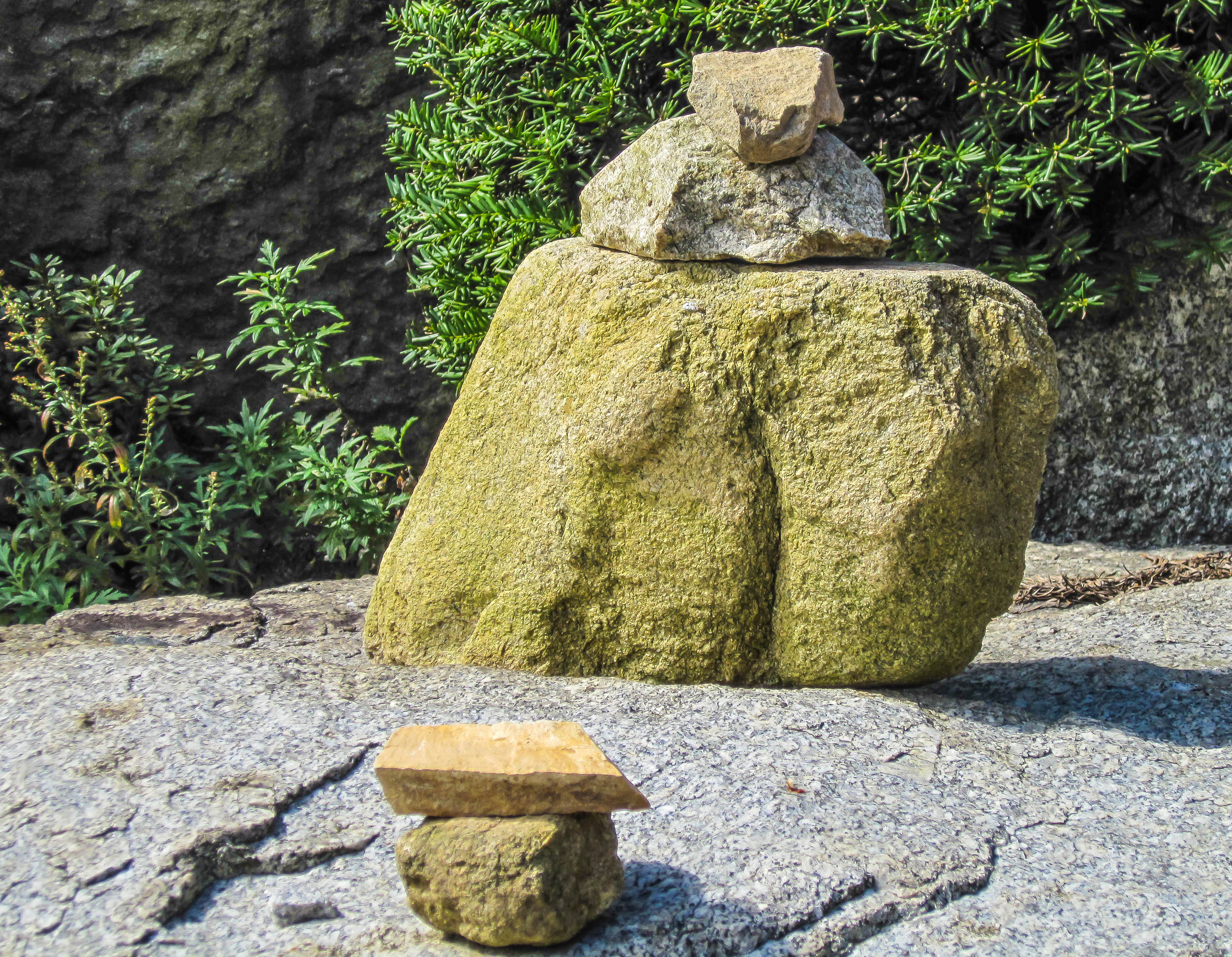
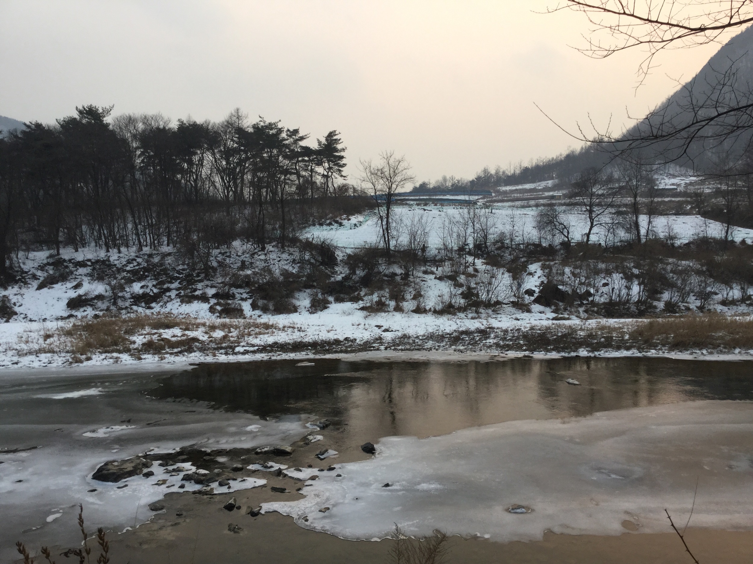
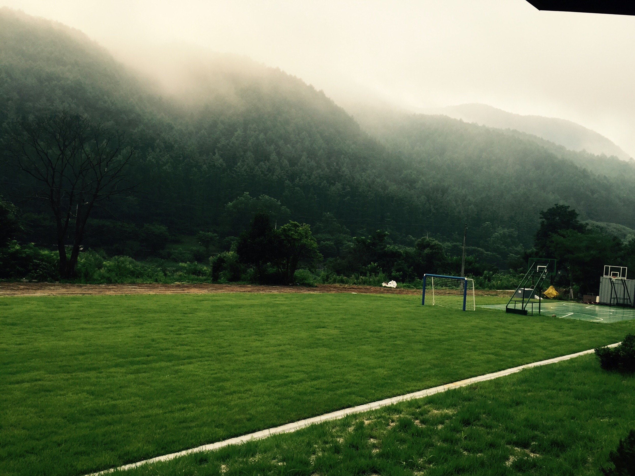
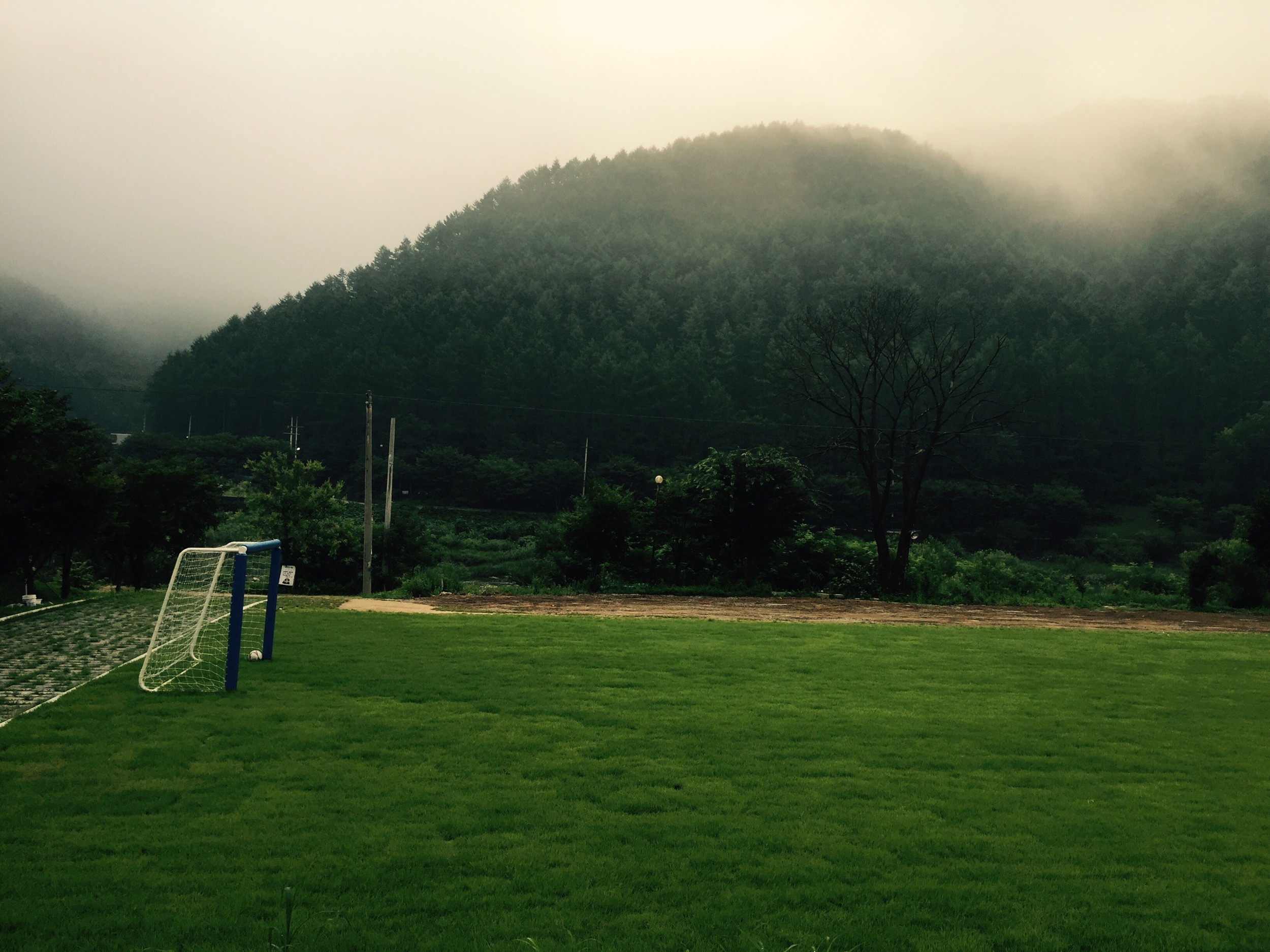
Related Photos:
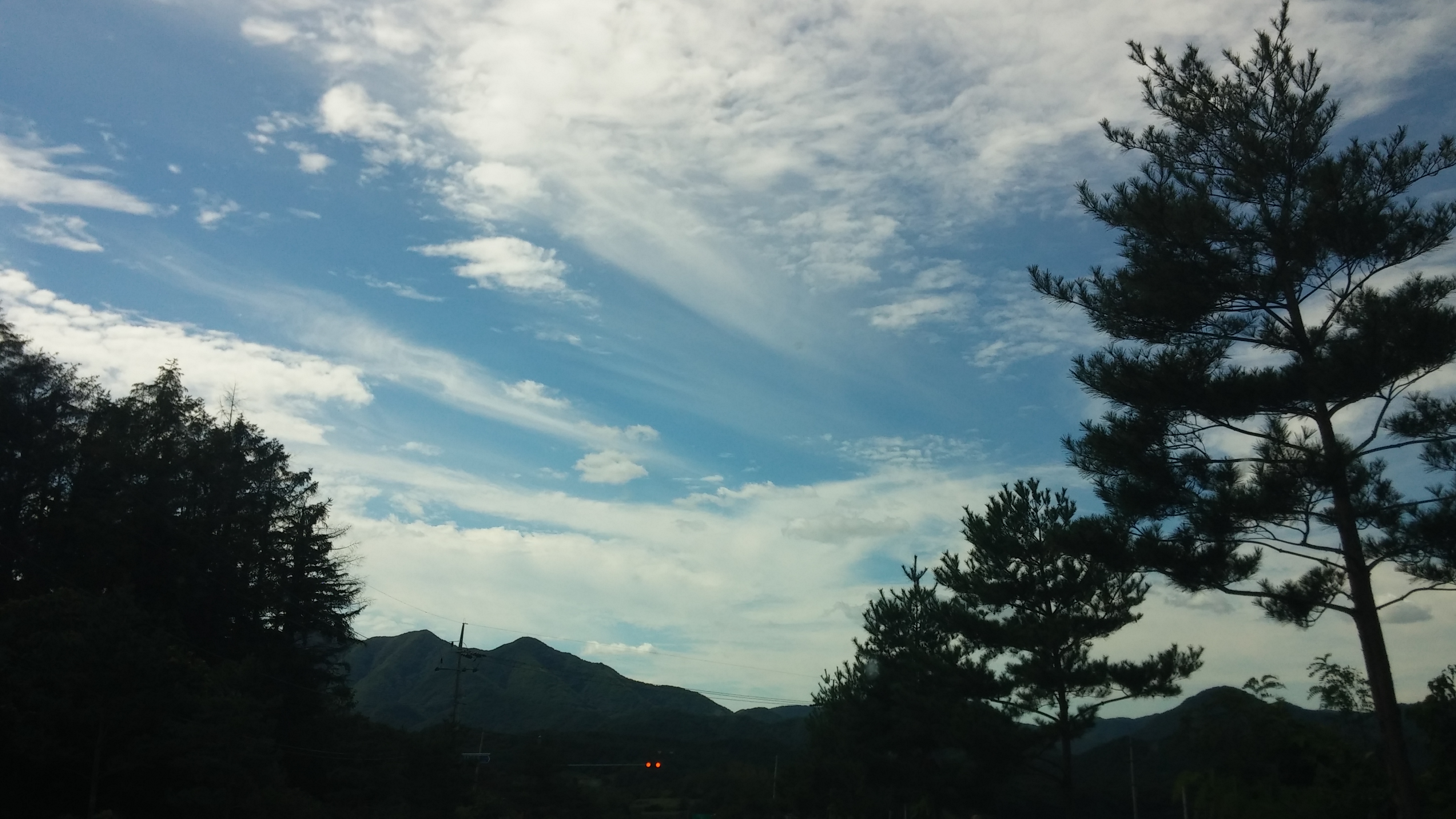
청공 | 시골집풍경

구름이 예술이다 | 시골집풍경
구름이 예술이다 | 시골집풍경
All Photos-84
구름이 예술이다 | 시골집풍경
청공 | 시골집풍경

Korea (35 of 57).jpg
청공 | 시골집풍경
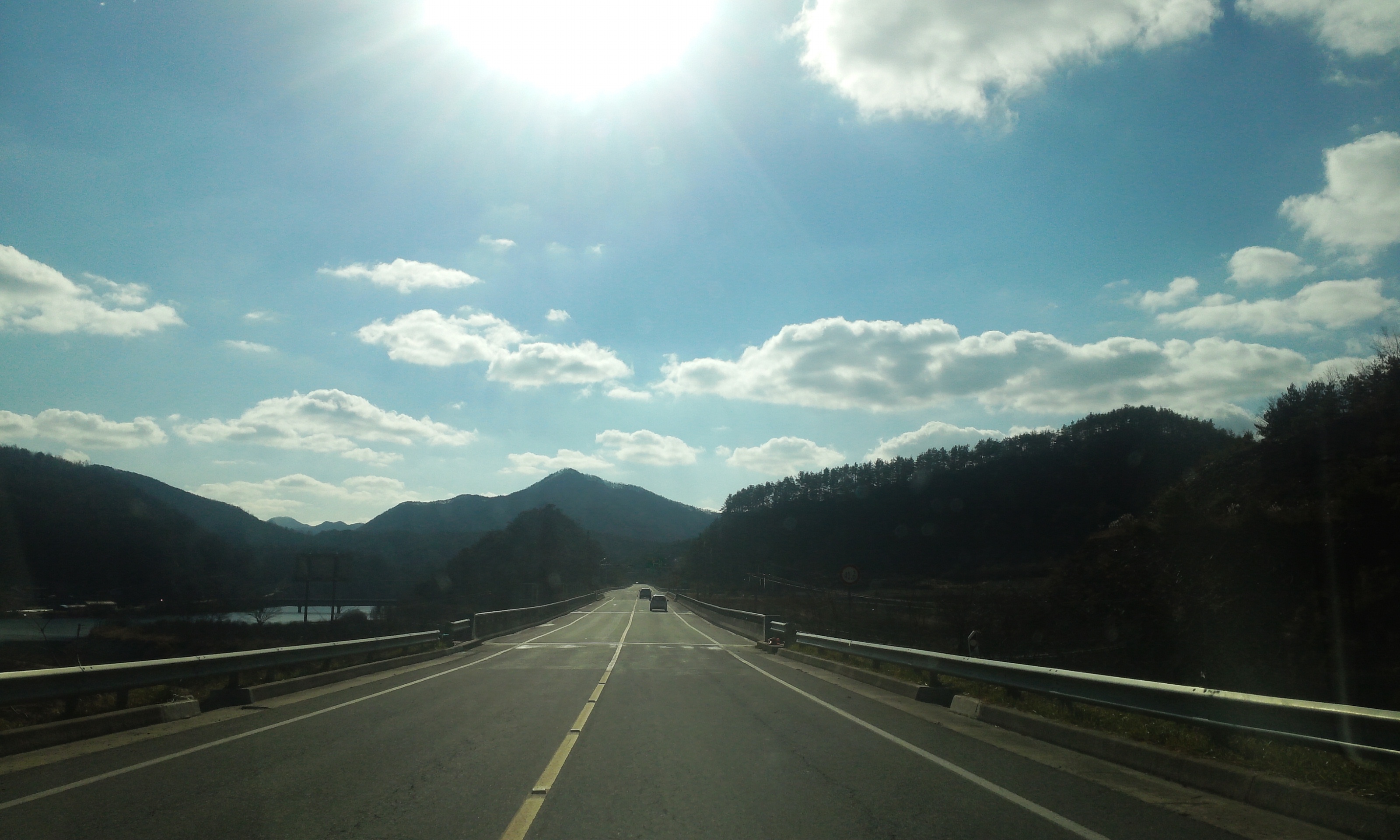
Korea (35 of 57).jpg

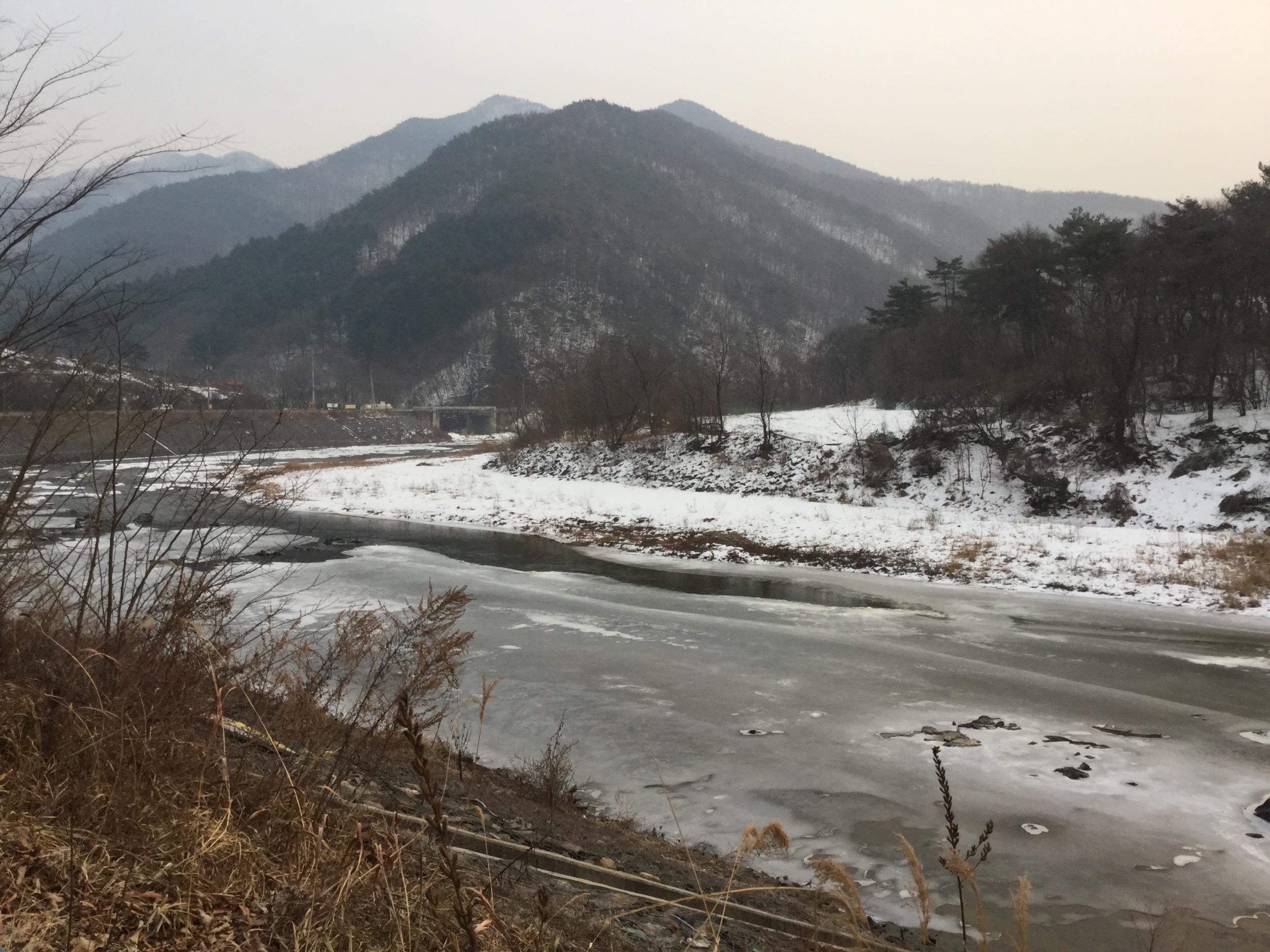
화양동 낙영산

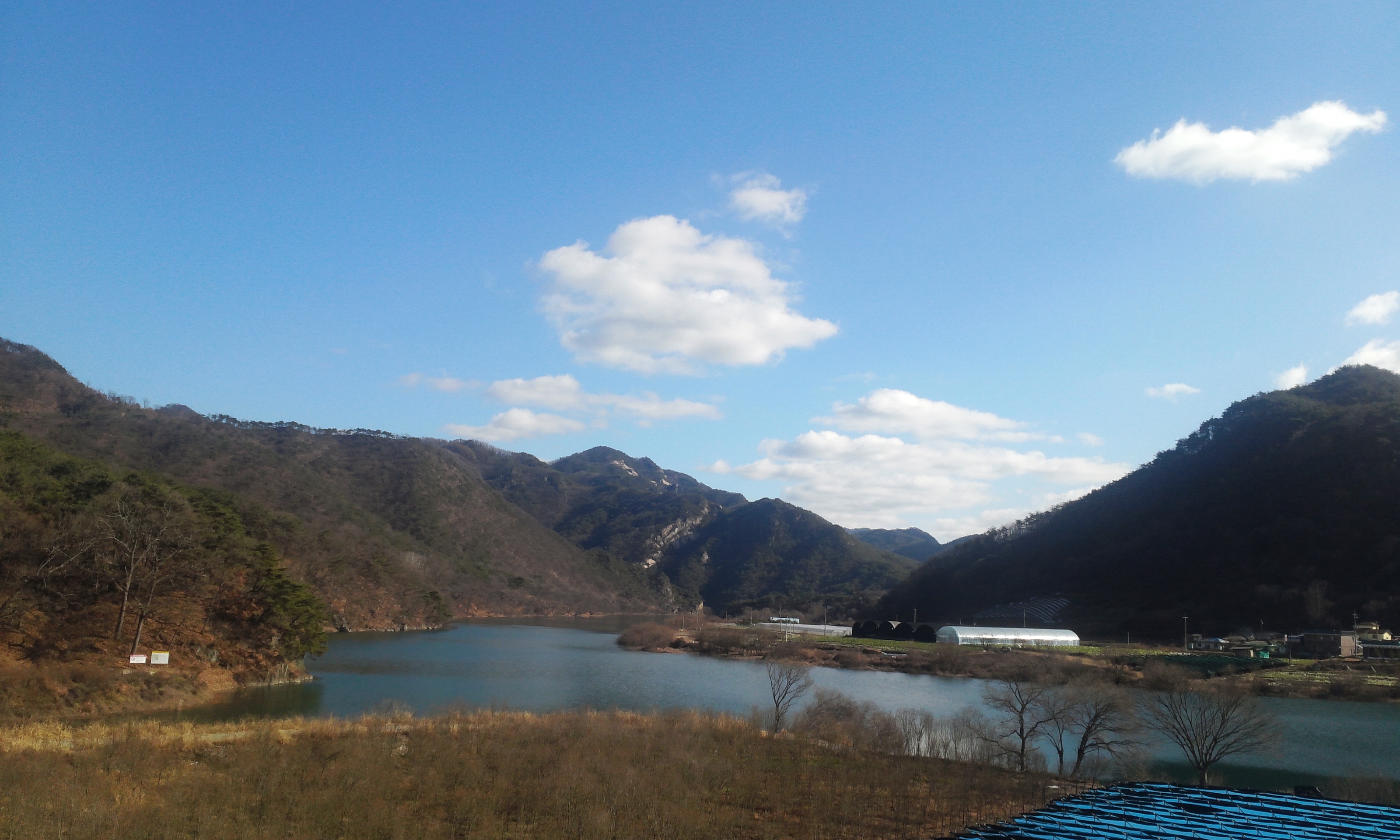
Evendale Golf & Resort

청공 | 시골집풍경

Evendale Golf & Resort

Evendale Golf & Resort
All Photos-81

All Photos-82

시골집 풍경 | 가을

청공 | 시골집풍경
20150801-064407-4
20150801-064359-3

2015-07-02 10-45-37
Topographic Map of Chungcheongbuk-do, South Korea
Find elevation by address:

Places in Chungcheongbuk-do, South Korea:
Chungju-si
Cheongju-si
Seonjeong-ri, Samseong-myeon, Eumseong, Chungcheongbuk-do, South Korea
Jincheon-gun
Cheongwon-gun
Places near Chungcheongbuk-do, South Korea:
Cheongju International Airport
Ipsang-ri
Cheongju-si
Jincheon-gun
Uncheon-dong
Seonjeong-ri, Samseong-myeon, Eumseong, Chungcheongbuk-do, South Korea
Cheongwon-gun
Chungju-si
Munsan-ri
Munsan-ri, Geumga-myeon, Cheongju, Chungcheongbuk-do, South Korea
Osonggarak-ro
Osong
Anseong
Mungyeong-si
Icheon-si
Daejeon
Daejeon
Wonju-si
Cheonan-si
Sangju-si
Recent Searches:
- Elevation of Corso Fratelli Cairoli, 35, Macerata MC, Italy
- Elevation of Tallevast Rd, Sarasota, FL, USA
- Elevation of 4th St E, Sonoma, CA, USA
- Elevation of Black Hollow Rd, Pennsdale, PA, USA
- Elevation of Oakland Ave, Williamsport, PA, USA
- Elevation of Pedrógão Grande, Portugal
- Elevation of Klee Dr, Martinsburg, WV, USA
- Elevation of Via Roma, Pieranica CR, Italy
- Elevation of Tavkvetili Mountain, Georgia
- Elevation of Hartfords Bluff Cir, Mt Pleasant, SC, USA