Elevation of Sangju-si, Gyeongsangbuk-do, South Korea
Location: South Korea > Gyeongsangbuk-do >
Longitude: 128.1590828
Latitude: 36.4109466
Elevation: 60m / 197feet
Barometric Pressure: 0KPa
Related Photos:

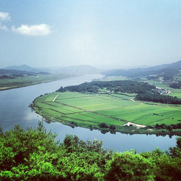
view from my window

Rice grains; Fall in Sangju

Macro play

In three months there will be Cherry blossoms

Yecheon County, South Korea

4대강사업_2009_10_05_경천교_상류6

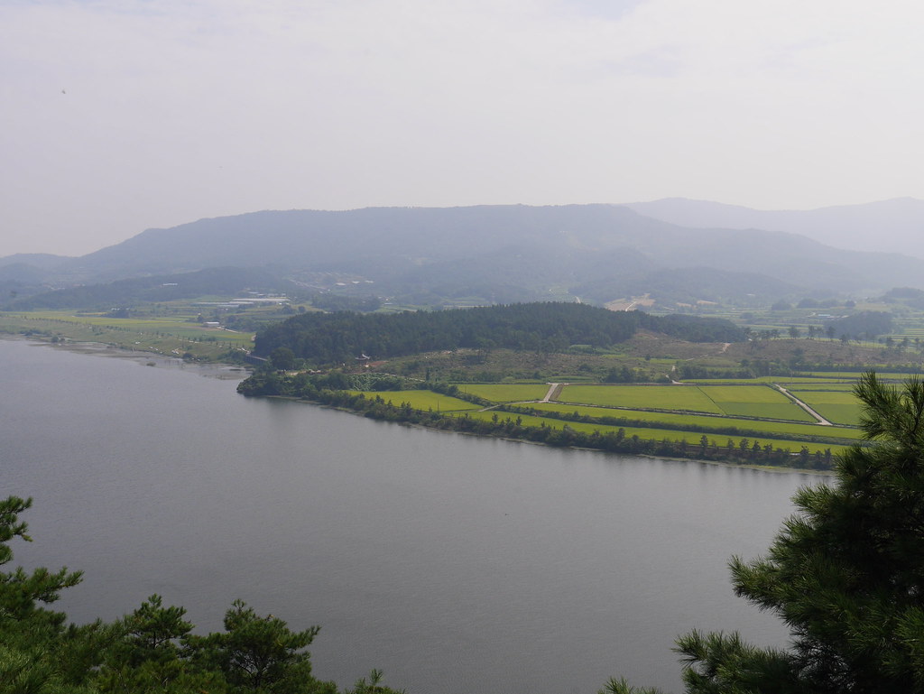
Fall in Sangju

Macro play

4대강사업_2009_10_05_경천교_상류2

황금빛 들녘...

2009_12_21_4대강사업_낙단보_파노라마

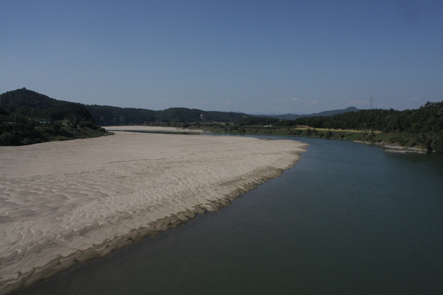
4대강사업_2009_10_05_경천교_상류3
흐미, 덥다 더워~ 땀뻘뻘..ㅠㅠ #경천대

Jeomchon_-_Gumi

4대강사업_2009_10_05_경천교_상류8

Jeomchon_-_Gumi

시골길
Jeomchon_-_Gumi
4대강사업_2009_10_12_경천교_상류

비오는 날 벌초...

2009_12_21_4대강사업_상주보
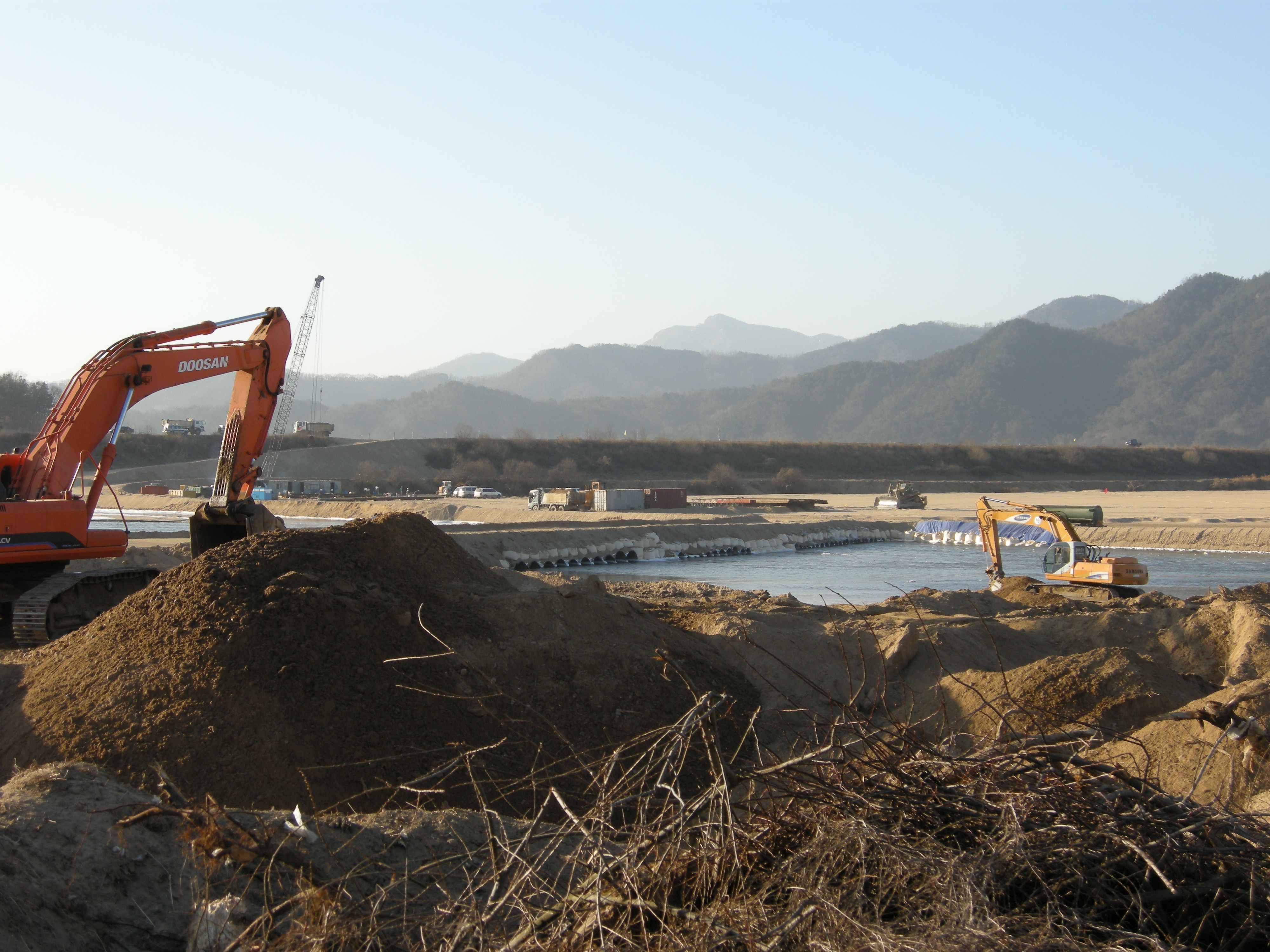
2009_12_21_4대강사업_상주보
Topographic Map of Sangju-si, Gyeongsangbuk-do, South Korea
Find elevation by address:

Places near Sangju-si, Gyeongsangbuk-do, South Korea:
Gumi-si
Seokjeon-ro
Camp Carroll, South Korea
Chilgok-gun
Secheon-ro 1-gil
Daegu
Daegu
Camp Henry
Icheon-dong
Camp Walker
Bongdeok 3(sam)-dong
Gyeongsangbuk-do
Gyeongsangnam-do
Gyeongju-si
Jinju-si
Pohang-si
Gajwa-dong
Masan
Bosam-gil
Haneul Park
Recent Searches:
- Elevation map of Greenland, Greenland
- Elevation of Sullivan Hill, New York, New York, 10002, USA
- Elevation of Morehead Road, Withrow Downs, Charlotte, Mecklenburg County, North Carolina, 28262, USA
- Elevation of 2800, Morehead Road, Withrow Downs, Charlotte, Mecklenburg County, North Carolina, 28262, USA
- Elevation of Yangbi Yi Autonomous County, Yunnan, China
- Elevation of Pingpo, Yangbi Yi Autonomous County, Yunnan, China
- Elevation of Mount Malong, Pingpo, Yangbi Yi Autonomous County, Yunnan, China
- Elevation map of Yongping County, Yunnan, China
- Elevation of North 8th Street, Palatka, Putnam County, Florida, 32177, USA
- Elevation of 107, Big Apple Road, East Palatka, Putnam County, Florida, 32131, USA
- Elevation of Jiezi, Chongzhou City, Sichuan, China
- Elevation of Chongzhou City, Sichuan, China
- Elevation of Huaiyuan, Chongzhou City, Sichuan, China
- Elevation of Qingxia, Chengdu, Sichuan, China
- Elevation of Corso Fratelli Cairoli, 35, Macerata MC, Italy
- Elevation of Tallevast Rd, Sarasota, FL, USA
- Elevation of 4th St E, Sonoma, CA, USA
- Elevation of Black Hollow Rd, Pennsdale, PA, USA
- Elevation of Oakland Ave, Williamsport, PA, USA
- Elevation of Pedrógão Grande, Portugal