Elevation of Cheongju International Airport, South Korea, Chungcheongbuk-do, Cheongju-si, 청원구 내수읍 오창대로
Location: South Korea > Chungcheongbuk-do > Cheongju-si > Ipsang-ri >
Longitude: 127.495889
Latitude: 36.7219769
Elevation: 60m / 197feet
Barometric Pressure: 0KPa
Related Photos:

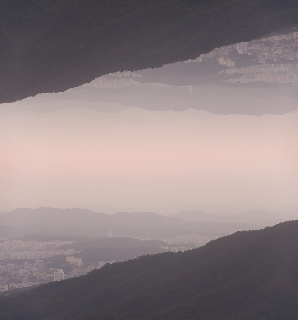
The View from the Trail

Jaye Moon

석양의 구름 | 진천쌀 논글씨
청주시 [cheongju]

꽃밭에서

Fall Hike

Fall Hike

Gwanghwamun gate landscape seoul korea . . . #architecture #architect #korea #koreatrip #koreacity #koreatravel #seoul #seoultrip #seoulcity #seoulkorea #seoultravel #landscape #landscapelover #landscapephotography #landscapearchitecture #canon #canonpho

석양의 구름

Gwanghwamun gate seoul korea . . . #gwanghwamun #gwanghwamungate #gwanghwamunsquare #korea #koreacity #koreatrip #koreatravel #seoul #seoulcity #seoultrip #seoulkorea #seoultravel #raynaldkphotography #landscape #landscapelover #landscapephotography #pho

저녁노을빛 구름속 황금새?

Good morning Cheongju-ju!

겨울 노을

진천 하수종말처리장 생태연못

증평

Etc....
Topographic Map of Cheongju International Airport, South Korea, Chungcheongbuk-do, Cheongju-si, 청원구 내수읍 오창대로
Find elevation by address:

Places near Cheongju International Airport, South Korea, Chungcheongbuk-do, Cheongju-si, 청원구 내수읍 오창대로:
Ipsang-ri
Uncheon-dong
Cheongju-si
Jincheon-gun
Osonggarak-ro
Osong
Seonjeong-ri, Samseong-myeon, Eumseong, Chungcheongbuk-do, South Korea
Anseong
Cheonan-si
Pyeongtaek-si
Asan-si
Munsan-ri, Geumga-myeon, Cheongju, Chungcheongbuk-do, South Korea
Munsan-ri
Chungju-si
Camp Humphreys
32 Anjeongsunhwan-ro beon-gil, Paengseong-eup, Pyeongtaek, Gyeonggi-do, South Korea
Camp Humphreys Commissary
Icheon-si
Camp Humphreys
Songtan
Recent Searches:
- Elevation of 107, Big Apple Road, East Palatka, Putnam County, Florida, 32131, USA
- Elevation of Jiezi, Chongzhou City, Sichuan, China
- Elevation of Chongzhou City, Sichuan, China
- Elevation of Huaiyuan, Chongzhou City, Sichuan, China
- Elevation of Qingxia, Chengdu, Sichuan, China
- Elevation of Corso Fratelli Cairoli, 35, Macerata MC, Italy
- Elevation of Tallevast Rd, Sarasota, FL, USA
- Elevation of 4th St E, Sonoma, CA, USA
- Elevation of Black Hollow Rd, Pennsdale, PA, USA
- Elevation of Oakland Ave, Williamsport, PA, USA
- Elevation of Pedrógão Grande, Portugal
- Elevation of Klee Dr, Martinsburg, WV, USA
- Elevation of Via Roma, Pieranica CR, Italy
- Elevation of Tavkvetili Mountain, Georgia
- Elevation of Hartfords Bluff Cir, Mt Pleasant, SC, USA
- Elevation of SW Barberry Dr, Beaverton, OR, USA
- Elevation of Old Ahsahka Grade, Ahsahka, ID, USA
- Elevation of State Hwy F, Pacific, MO, USA
- Elevation of Chemin de Bel air, Chem. de Bel air, Mougins, France
- Elevation of Cloverdale Dr, Bloomingdale, GA, USA