Elevation of Chevron Franklin, State Rte, Franklin, LA, USA
Location: United States > Louisiana > St. Mary Parish > > Franklin >
Longitude: -91.438733
Latitude: 29.7408419
Elevation: 3m / 10feet
Barometric Pressure: 101KPa
Elevation Map:
Satellite Map:
Related Photos:

Donald Hahn Senior 2011-37

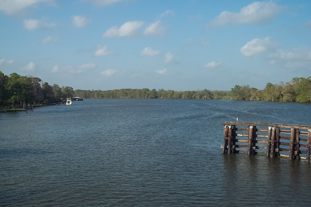
Bayou Teche National Wildlife Refuge swamp
Patterson, Louisiana

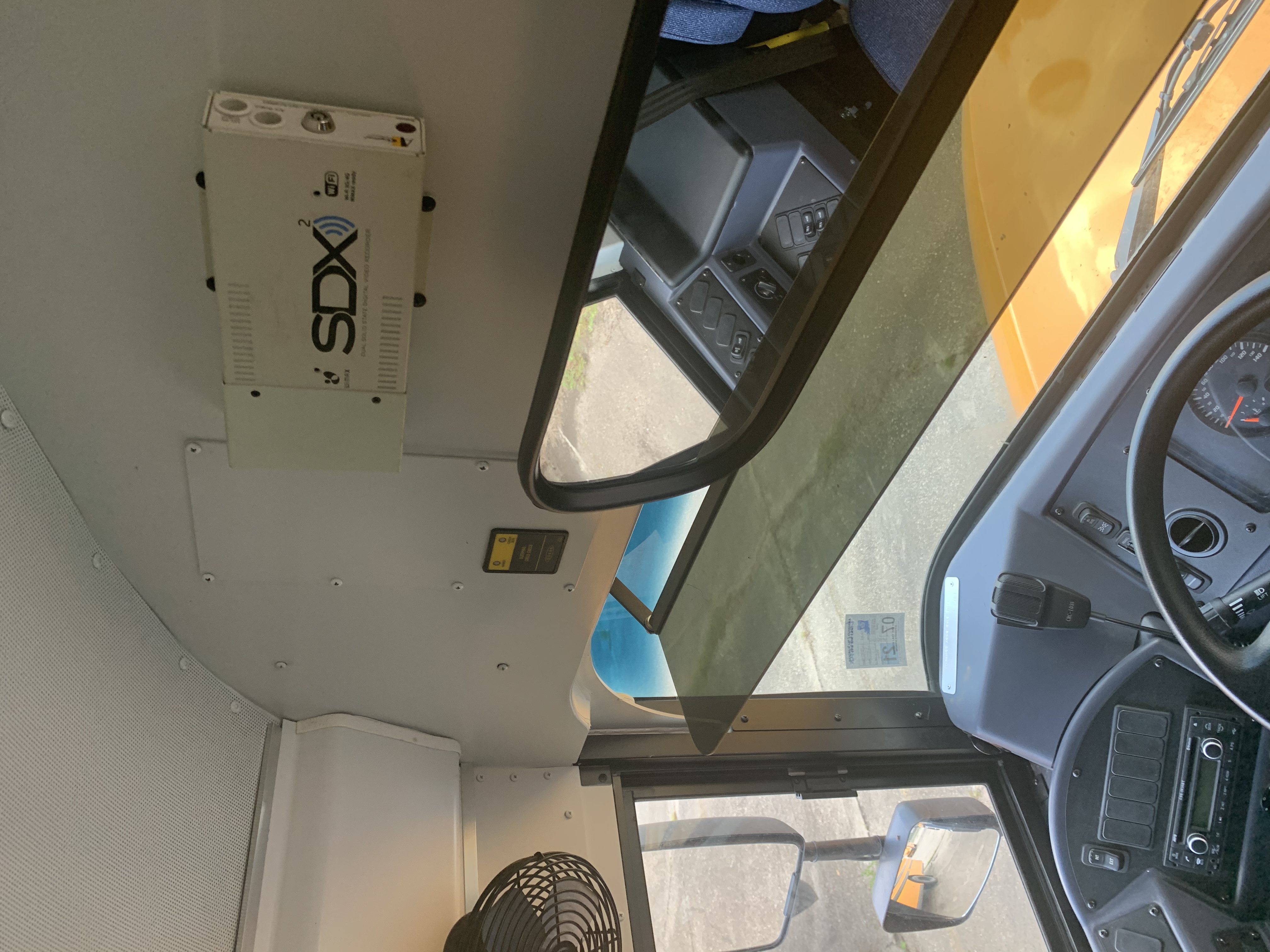
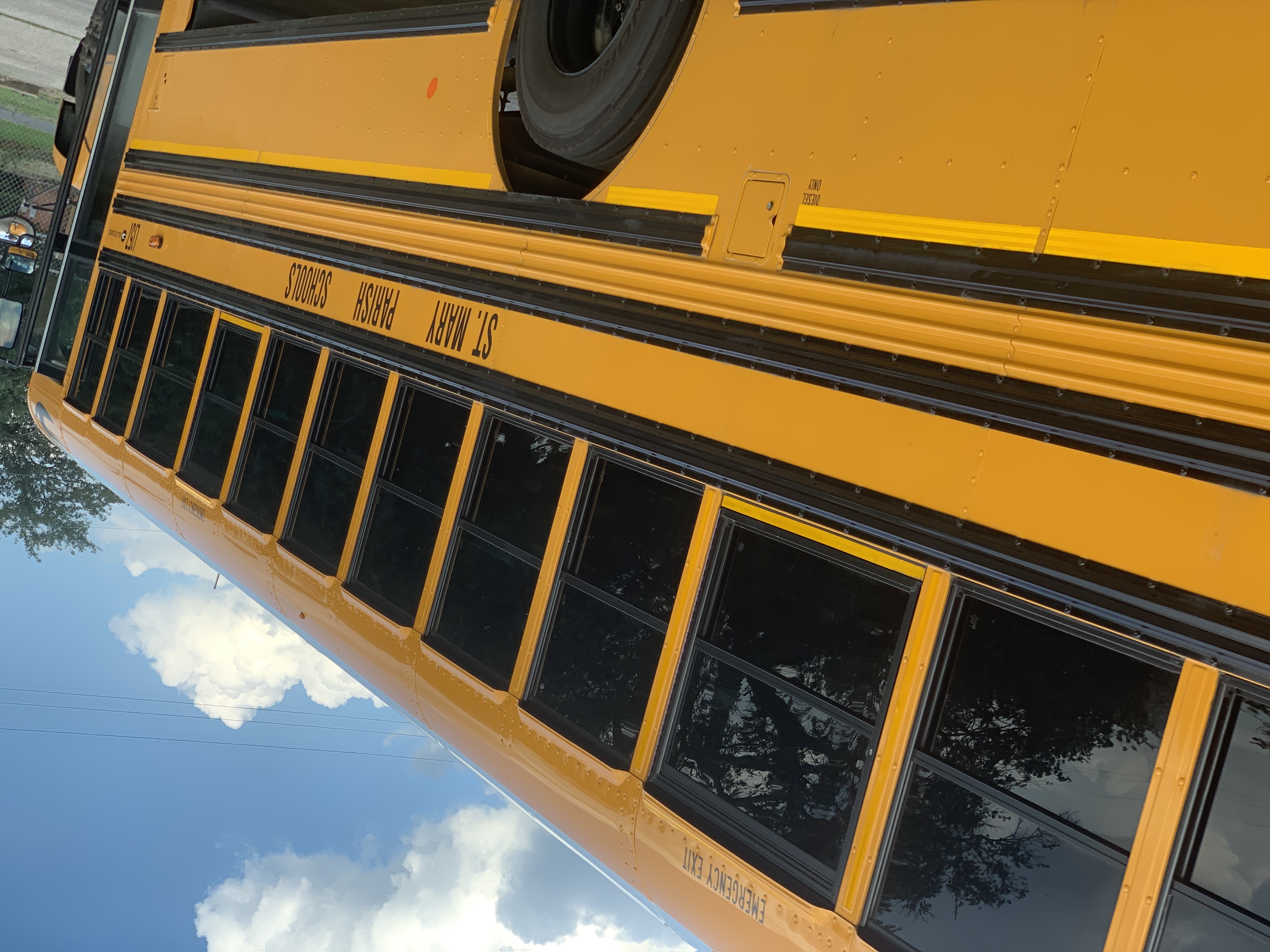
2021 Blue Bird Vision

2021 Blue Bird Vision

2021 Blue Bird Vision

2021 Blue Bird Vision

2021 Blue Bird Vision
2021 Blue Bird Vision

2021 Blue Bird Vision

2021 Blue Bird Vision

2021 Blue Bird Vision

2021 Blue Bird Vision

2021 Blue Bird Vision

2021 Blue Bird Vision

2021 Blue Bird Vision
2021 Blue Bird Vision

2021 Blue Bird Vision

2021 Blue Bird Vision

2021 Blue Bird Vision

2021 Blue Bird Vision

2021 Blue Bird Vision
Topographic Map of Chevron Franklin, State Rte, Franklin, LA, USA
Find elevation by address:

Places near Chevron Franklin, State Rte, Franklin, LA, USA:
St Mary Parish Jail
120 Trunkline Gas Ln
93 Yellow Bayou Rd
Centerville
9106 La-182
Par Rd, Franklin, LA, USA
360 Verdunville Rd
360 Verdunville Rd
360 Verdunville Rd
309 Jackson St
Franklin
Main St, Franklin, LA, USA
Irish Bend Rd, Franklin, LA, USA
407 Hawkins St
2406 Chatsworth Rd
112 Michael Dr
145 Michael Dr
Franklin Foundation Hospital
Walmart
Super 1 Foods
Recent Searches:
- Elevation of Corso Fratelli Cairoli, 35, Macerata MC, Italy
- Elevation of Tallevast Rd, Sarasota, FL, USA
- Elevation of 4th St E, Sonoma, CA, USA
- Elevation of Black Hollow Rd, Pennsdale, PA, USA
- Elevation of Oakland Ave, Williamsport, PA, USA
- Elevation of Pedrógão Grande, Portugal
- Elevation of Klee Dr, Martinsburg, WV, USA
- Elevation of Via Roma, Pieranica CR, Italy
- Elevation of Tavkvetili Mountain, Georgia
- Elevation of Hartfords Bluff Cir, Mt Pleasant, SC, USA