Elevation of Chestnut St, Grand Forks, ND, USA
Location: United States > North Dakota > Grand Forks County > Grand Forks >
Longitude: -97.030187
Latitude: 47.9003045
Elevation: 255m / 837feet
Barometric Pressure: 98KPa
Elevation Map:
Satellite Map:
Related Photos:

Lightnings and Lowerings

Grand Forks, N.D., skyline

Red River Flood of 2011 - Grand Forks, ND 1

Four Gospels

The Mobile Office

Hidden From View

89:365 Dirty Little Secret #1

Red River Flood of 2011 - Grand Forks, ND 3
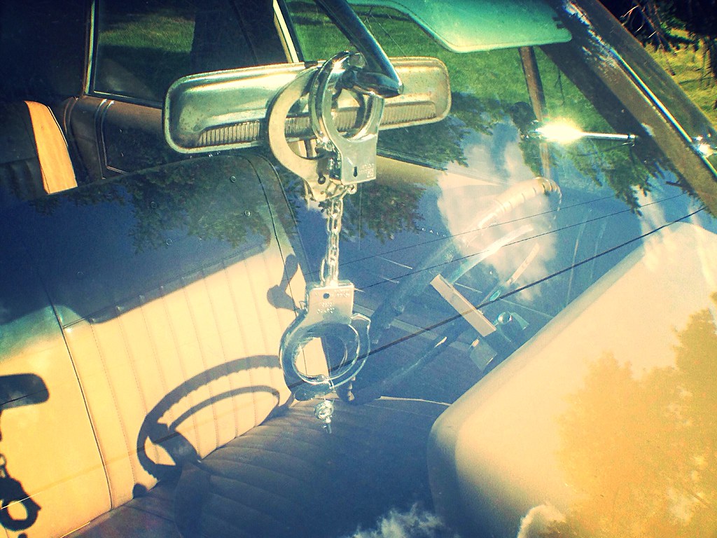
Handcuffs and the rear-view mirror

They told me... 236 :: 365

North Dakota - Day 7 of 7

Red River Flood of 2011 - Grand Forks, ND 2

Grand Forks Flood Wall, North Dakota

Red River Flood of 2011 - Grand Forks, ND 4

Red River

Entering Minnesota on the Kennedy Bridge
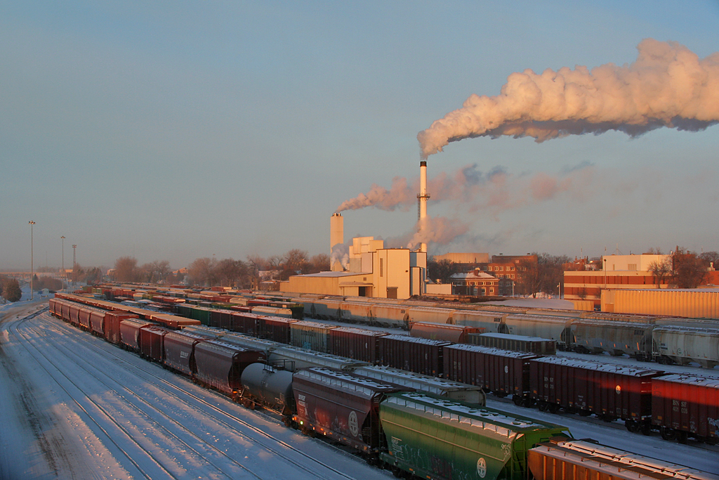
Cold BNSF Grand Forks Yard1

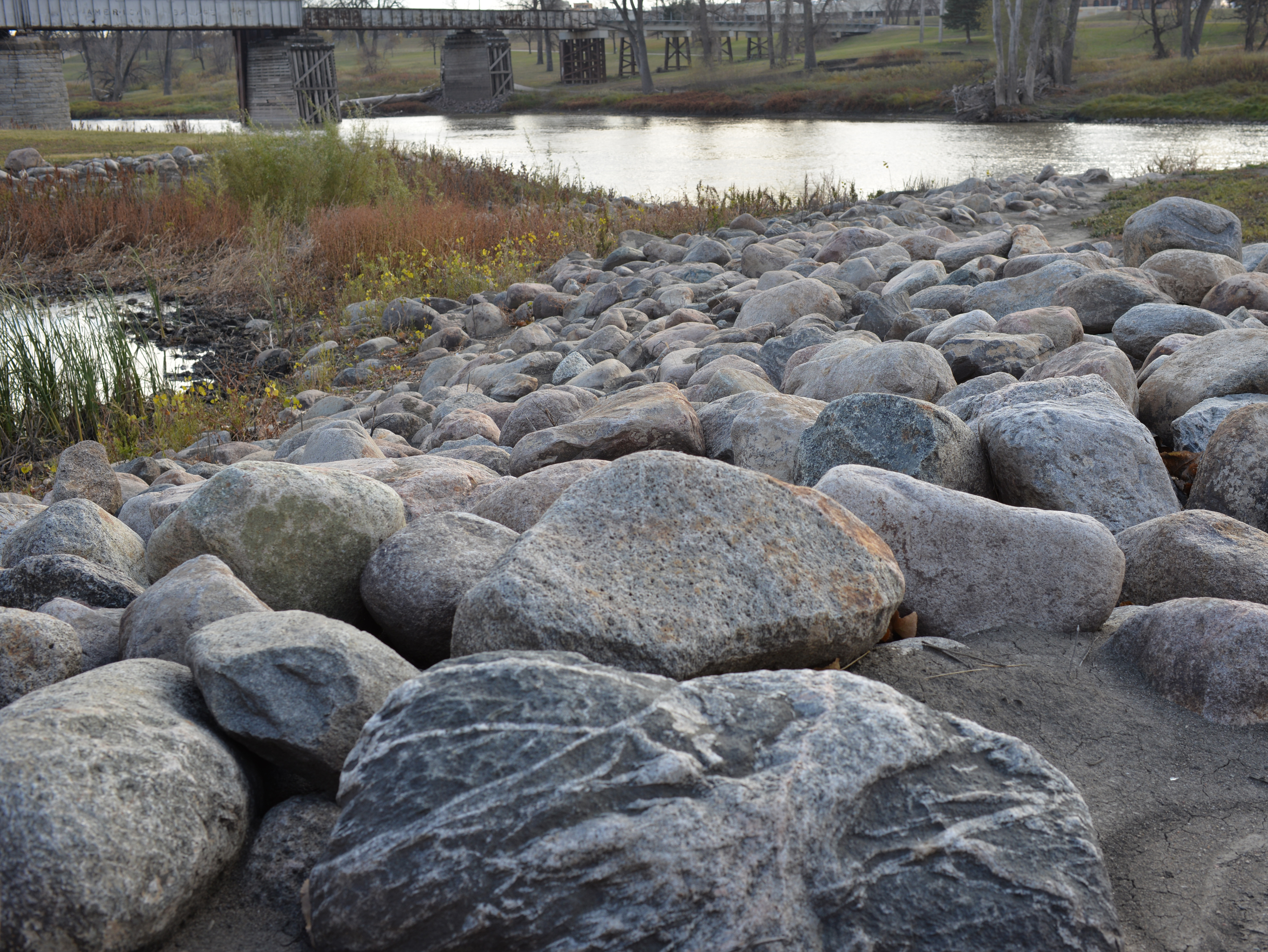
Red River Greenway

Stuck at the Gate 2

Aerial View of EERC Building

Gas Station

Locomotive and smiley water tower

Cass Lake Local Arriving Home

Greenway Downtown Grand Forks, ND

Harris's Sparrow

Yellow-rumped Warbler

White-crowned Sparrow (I)

White-throated Sparrow

Savannah Sparrow

Palm Warbler

Le Conte's Sparrow

Palm Warbler

Lincoln's Sparrow
Walkway to the Red River

White-crowned Sparrow

Palm Warbler

Nashville Warbler

Orange-crowned Warbler

Song Sparrow

Fox Sparrow
Topographic Map of Chestnut St, Grand Forks, ND, USA
Find elevation by address:

Places near Chestnut St, Grand Forks, ND, USA:
219 S 4th St
County Road 8
178 Christian Dr
Adams Drive
290 Sandpiper Ln
East Grand Forks
Shadyridge Court
1822 8th St Se
772 Ashley Ln Ne
766 Ashley Ln Ne
Huntsville Township
th Ave SW, East Grand Forks, MN, USA
Alvarado
1st Ave, Alvarado, MN, USA
W Johnson Ave, Warren, MN, USA
US-75, Euclid, MN, USA
Bloomer Township
13979 240th Ave Sw
23779 140th St Sw
Belgium Township
Recent Searches:
- Elevation of Corso Fratelli Cairoli, 35, Macerata MC, Italy
- Elevation of Tallevast Rd, Sarasota, FL, USA
- Elevation of 4th St E, Sonoma, CA, USA
- Elevation of Black Hollow Rd, Pennsdale, PA, USA
- Elevation of Oakland Ave, Williamsport, PA, USA
- Elevation of Pedrógão Grande, Portugal
- Elevation of Klee Dr, Martinsburg, WV, USA
- Elevation of Via Roma, Pieranica CR, Italy
- Elevation of Tavkvetili Mountain, Georgia
- Elevation of Hartfords Bluff Cir, Mt Pleasant, SC, USA