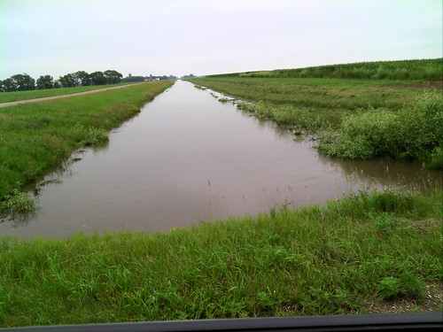
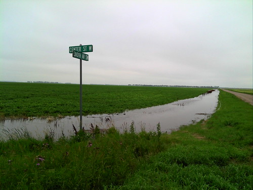
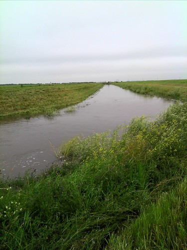
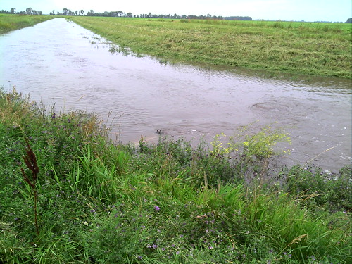
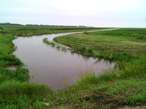
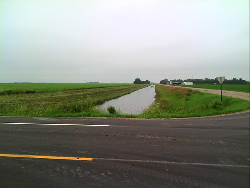
Elevation of th Ave SW, East Grand Forks, MN, USA
Location: United States > Minnesota > Polk County >
Longitude: -96.783270
Latitude: 47.9335792
Elevation: 261m / 856feet
Barometric Pressure: 98KPa
Related Photos:
Topographic Map of th Ave SW, East Grand Forks, MN, USA
Find elevation by address:

Places near th Ave SW, East Grand Forks, MN, USA:
Huntsville Township
US-75, Euclid, MN, USA
1822 8th St Se
13979 240th Ave Sw
23779 140th St Sw
East Grand Forks
766 Ashley Ln Ne
Belgium Township
772 Ashley Ln Ne
Shadyridge Court
22958 140th St Sw
219 S 4th St
Adams Drive
2009 Chestnut St
178 Christian Dr
290 Sandpiper Ln
County Road 8
W Johnson Ave, Warren, MN, USA
1st Ave, Alvarado, MN, USA
Alvarado
Recent Searches:
- Elevation of Corso Fratelli Cairoli, 35, Macerata MC, Italy
- Elevation of Tallevast Rd, Sarasota, FL, USA
- Elevation of 4th St E, Sonoma, CA, USA
- Elevation of Black Hollow Rd, Pennsdale, PA, USA
- Elevation of Oakland Ave, Williamsport, PA, USA
- Elevation of Pedrógão Grande, Portugal
- Elevation of Klee Dr, Martinsburg, WV, USA
- Elevation of Via Roma, Pieranica CR, Italy
- Elevation of Tavkvetili Mountain, Georgia
- Elevation of Hartfords Bluff Cir, Mt Pleasant, SC, USA

