Elevation of Chemin du Lac Serpent, Notre-Dame-du-Laus, QC J0X, Canada
Location: Canada > Québec > Antoine-labelle Regional County Municipality > Notre-dame-du-laus >
Longitude: -75.472120
Latitude: 46.1259774
Elevation: 237m / 778feet
Barometric Pressure: 99KPa
Elevation Map:
Satellite Map:
Related Photos:

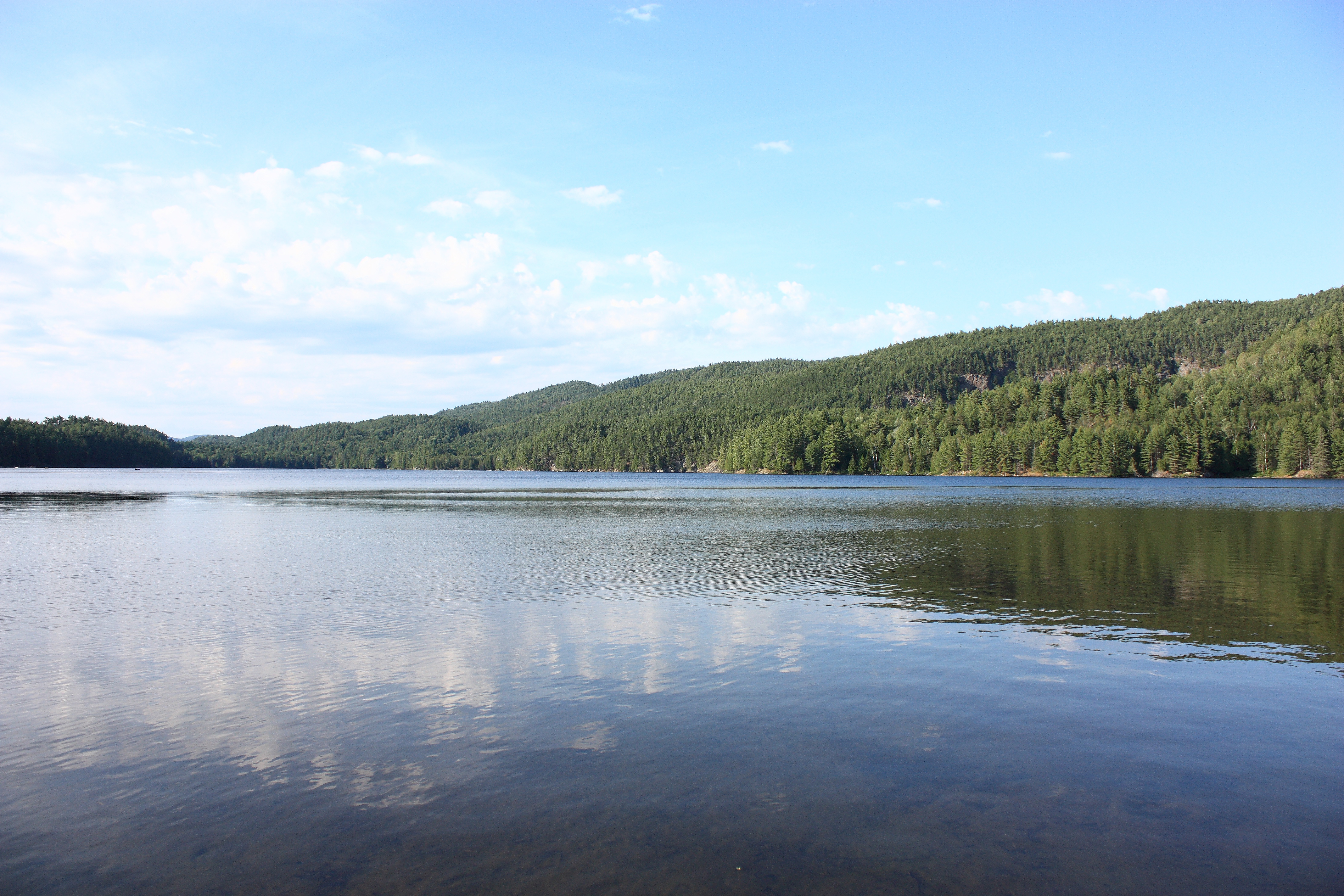
Lake O'Neil Winter Panorama

Row by Row

Lake O'Neil - Early Autumn

The World in Technicolor ✿ Le monde en technicolor

Grand Lac-du-Cerf DSC_6449m copie

Plongeon huard- Gavia immer - Common Loon

Lac du Poisson Blanc

la plage
Lake O'Neil - Summer

Lake O'Neil - Autumn Foliage

Bonjour de notre île! #nofilter

Lake O'Neil - Spring

La fin de semaine

Pappineau-Labelle

Pappineau-Labelle
Topographic Map of Chemin du Lac Serpent, Notre-Dame-du-Laus, QC J0X, Canada
Find elevation by address:

Places near Chemin du Lac Serpent, Notre-Dame-du-Laus, QC J0X, Canada:
Chemin Du Lac Serpent
Lac Serpent
1258 Chemin Du Ruisseau Serpent
111 Chemin Philippe
Notre-dame-du-laus
Lac-du-cerf
Notre-dame-du-laus
Chemin De L'Église
Lac-du-cerf
Principale, Lac-du-Cerf, QC J0W 1S0, Canada
7 Chemin Des Pétunias
Val-des-bois
1169 Qc-309
684 Chemin Du Poisson Blanc
Notre-dame-de-pontmain
Val-des-bois
25 Chemin Des Pins
115 Montée Larocque
Notre-dame-de-pontmain
108 Chemin Langlois
Recent Searches:
- Elevation of Corso Fratelli Cairoli, 35, Macerata MC, Italy
- Elevation of Tallevast Rd, Sarasota, FL, USA
- Elevation of 4th St E, Sonoma, CA, USA
- Elevation of Black Hollow Rd, Pennsdale, PA, USA
- Elevation of Oakland Ave, Williamsport, PA, USA
- Elevation of Pedrógão Grande, Portugal
- Elevation of Klee Dr, Martinsburg, WV, USA
- Elevation of Via Roma, Pieranica CR, Italy
- Elevation of Tavkvetili Mountain, Georgia
- Elevation of Hartfords Bluff Cir, Mt Pleasant, SC, USA