Elevation of 7 Chemin des Pétunias, Notre-Dame-du-Laus, QC J0X, Canada
Location: Canada > Québec > Antoine-labelle Regional County Municipality > Notre-dame-du-laus >
Longitude: -75.669759
Latitude: 46.1748738
Elevation: 215m / 705feet
Barometric Pressure: 99KPa
Elevation Map:
Satellite Map:
Related Photos:

Lake O'Neil Winter Panorama

Lake O'Neil - Early Autumn

The World in Technicolor ✿ Le monde en technicolor

Grand Lac-du-Cerf DSC_6449m copie
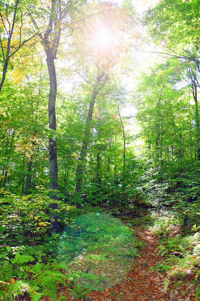
Sentier des merisiers, Parc régional du Poisson Blanc
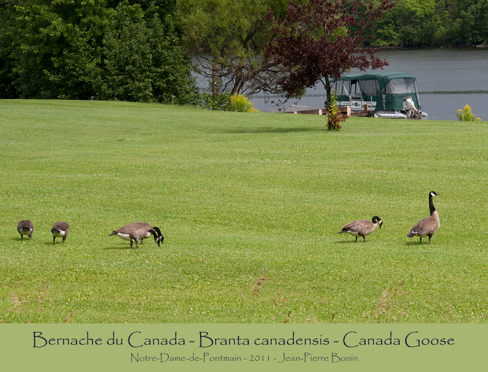
Bernache du Canada - Branta canadensis - Canada Goose

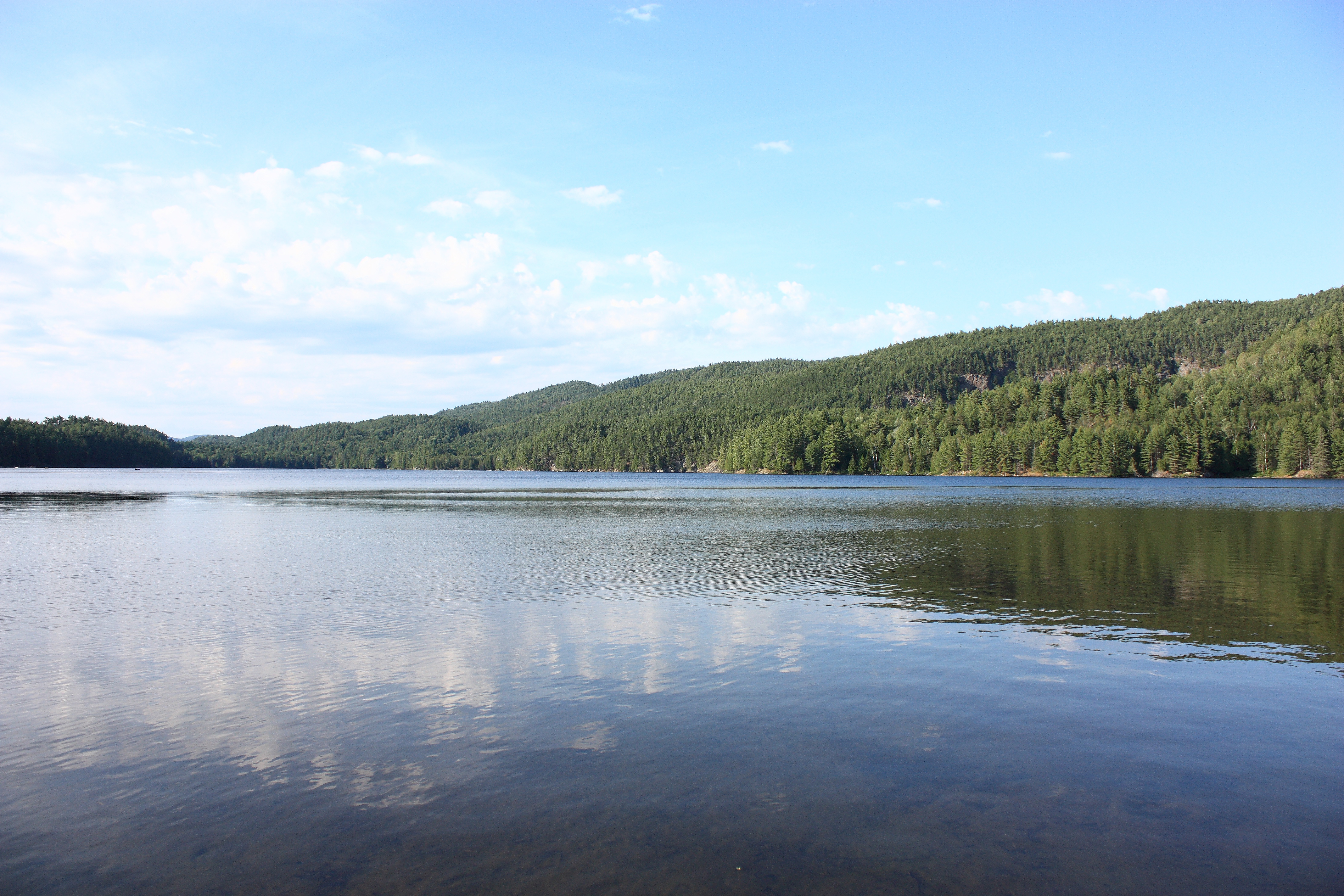
Lac du Poisson Blanc

la plage
Lake O'Neil - Summer

Lake O'Neil - Autumn Foliage

Bonjour de notre île! #nofilter

Lake O'Neil - Spring

La fin de semaine
Topographic Map of 7 Chemin des Pétunias, Notre-Dame-du-Laus, QC J0X, Canada
Find elevation by address:

Places near 7 Chemin des Pétunias, Notre-Dame-du-Laus, QC J0X, Canada:
1169 Qc-309
684 Chemin Du Poisson Blanc
Notre-dame-du-laus
Notre-dame-de-pontmain
Notre-dame-du-laus
Notre-dame-de-pontmain
1258 Chemin Du Ruisseau Serpent
Chemin de l'Auberge, Bouchette, QC J0X 1E0, Canada
Baie Des Sables
111 Chemin Philippe
Lac Serpent
Chemin de la Baie Noire, Gracefield, QC J0X 1W0, Canada
Lac-du-cerf
Chemin Du Lac Serpent
Chemin Du Lac Serpent
Principale, Lac-du-Cerf, QC J0W 1S0, Canada
Lac-du-cerf
Chemin De L'Église
Sainte-thérèse-de-la-gatineau
Bouchette
Recent Searches:
- Elevation of Corso Fratelli Cairoli, 35, Macerata MC, Italy
- Elevation of Tallevast Rd, Sarasota, FL, USA
- Elevation of 4th St E, Sonoma, CA, USA
- Elevation of Black Hollow Rd, Pennsdale, PA, USA
- Elevation of Oakland Ave, Williamsport, PA, USA
- Elevation of Pedrógão Grande, Portugal
- Elevation of Klee Dr, Martinsburg, WV, USA
- Elevation of Via Roma, Pieranica CR, Italy
- Elevation of Tavkvetili Mountain, Georgia
- Elevation of Hartfords Bluff Cir, Mt Pleasant, SC, USA