Elevation of Chaparrosa Way, Palm Desert, CA, USA
Location: United States > California > Riverside County > Palm Desert >
Longitude: -116.3791575
Latitude: 33.7678122
Elevation: 83m / 272feet
Barometric Pressure: 0KPa
Related Photos:

What's Up Doc?

Palm Springs Aviation Expo 2014

Heading Up the Trail

It Flaps It's Wings
It's Palm Springs Modernism Week!

Mid-Century Modern House

On Those Summer Days In The Desert

Morning Sunrise Clouds_1

Morning Sunrise Clouds_2
Palm Canyon

If Your Gonna Put A Chain In Front Of Me

KRAAAAAAZZZZZZY KLOUDS
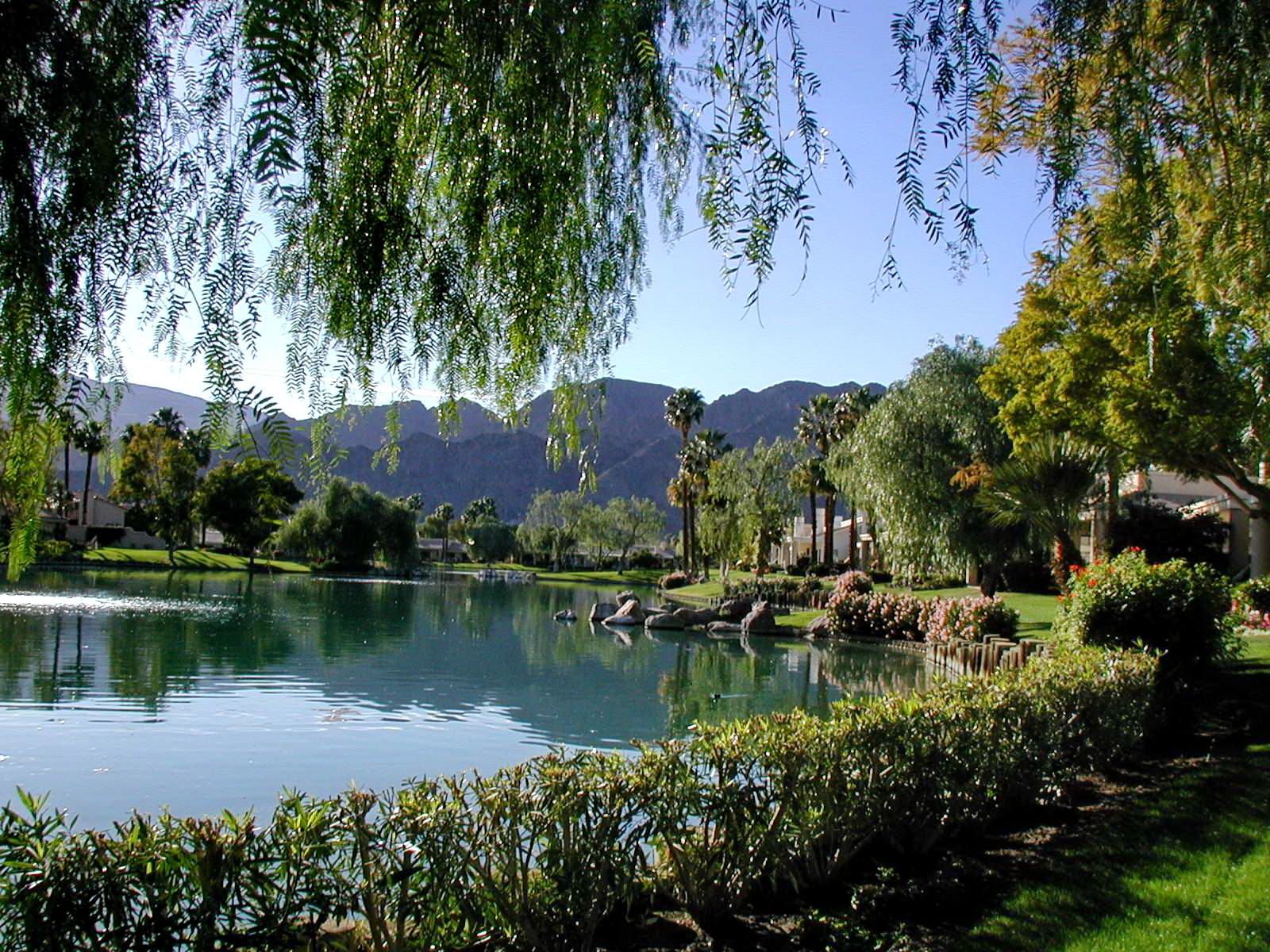
Retroactive post: View from the pool

Swimming Among The Clouds

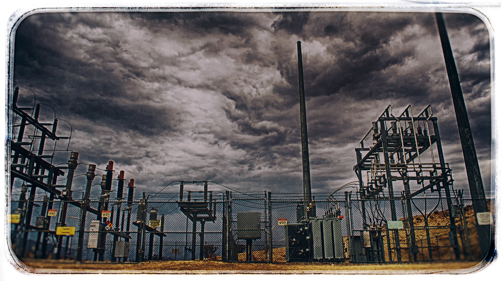
Mother Nature vs. Pole Power

ALL I NEED IS THE AIR THAT I BREATHE... in/out of Explore

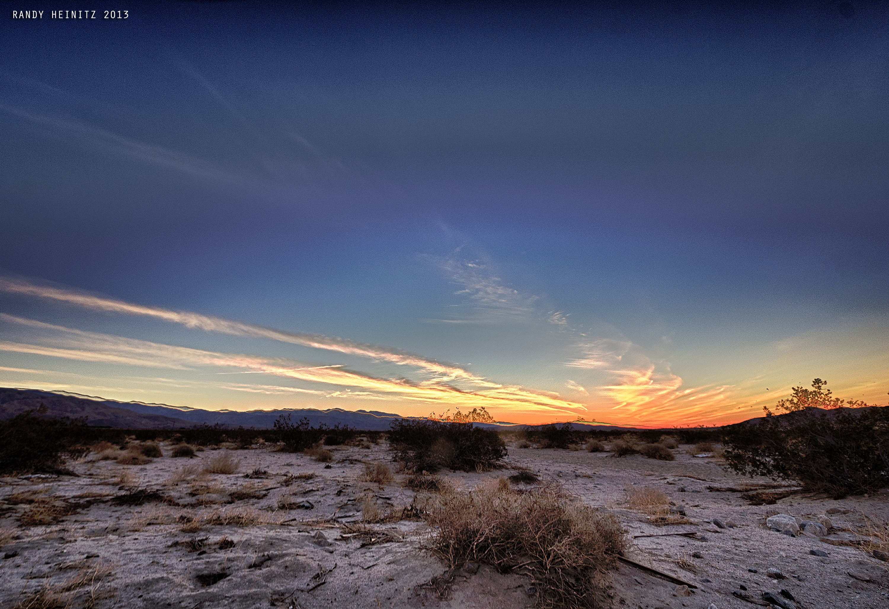
Sunrise 11_8_2010

Bring The Old New

Don't Carry Me Too Far Away
Low Flying
How To Make It Rain

Imagined Landscape VIII
Remains of Pride Rock

Palm to Pines Highway - Palm Desert, CA
#tiltedpaintingday #TheGoat????Trail #superbloom #thehillsarealive #paintedclouds #wildflowers #omroamsuccess #kamaprana
Desert Sky
Indian Wells 03
Where No City Should Be

Hiking Indian Canyons
IV Mirage 03.12.12

Giraffes at the Living Desert
White Tree

January 2013 Landscape II

Photo Stream

Grazing Giraffes

Giraffe Pasture
Pines to Palms
Jan0718-001_c
2017-02-11_04-44-33
#theressomethinghereiwantedtoremember #happyhiking #TheGoatTrail #omroamsuccess #kamaprana
Topographic Map of Chaparrosa Way, Palm Desert, CA, USA
Find elevation by address:

Places near Chaparrosa Way, Palm Desert, CA, USA:
40740 Glenwood Ln
9 Chateau Ct
34100 Gateway Dr
15 Columbia Dr
23 Park Mirage Ln
73745 Boca Chica Trail
33661 Westchester Dr
125 Clearwater Way
Dinah Shore Dr, Palm Desert, CA, USA
32660 Bloomfield Ave
28 Pebble Beach Dr
4 Auburn Ct, Rancho Mirage, CA, USA
Thousand Palms
471 Sunningdale Dr
72215 Varner Rd
70260 Ca-111 Spc 95
35080 Mission Hills Dr
Mission Hills Country Club
61 Cll Solano
95 Via Santo Tomas Dr
Recent Searches:
- Elevation of 10370, West 107th Circle, Westminster, Jefferson County, Colorado, 80021, USA
- Elevation of 611, Roman Road, Old Ford, Bow, London, England, E3 2RW, United Kingdom
- Elevation of 116, Beartown Road, Underhill, Chittenden County, Vermont, 05489, USA
- Elevation of Window Rock, Colfax County, New Mexico, 87714, USA
- Elevation of 4807, Rosecroft Street, Kempsville Gardens, Virginia Beach, Virginia, 23464, USA
- Elevation map of Matawinie, Quebec, Canada
- Elevation of Sainte-Émélie-de-l'Énergie, Matawinie, Quebec, Canada
- Elevation of Rue du Pont, Sainte-Émélie-de-l'Énergie, Matawinie, Quebec, J0K2K0, Canada
- Elevation of 8, Rue de Bécancour, Blainville, Thérèse-De Blainville, Quebec, J7B1N2, Canada
- Elevation of Wilmot Court North, 163, University Avenue West, Northdale, Waterloo, Region of Waterloo, Ontario, N2L6B6, Canada
- Elevation map of Panamá Province, Panama
- Elevation of Balboa, Panamá Province, Panama
- Elevation of San Miguel, Balboa, Panamá Province, Panama
- Elevation of Isla Gibraleón, San Miguel, Balboa, Panamá Province, Panama
- Elevation of 4655, Krischke Road, Schulenburg, Fayette County, Texas, 78956, USA
- Elevation of Carnegie Avenue, Downtown Cleveland, Cleveland, Cuyahoga County, Ohio, 44115, USA
- Elevation of Walhonding, Coshocton County, Ohio, USA
- Elevation of Clifton Down, Clifton, Bristol, City of Bristol, England, BS8 3HU, United Kingdom
- Elevation map of Auvergne-Rhône-Alpes, France
- Elevation map of Upper Savoy, Auvergne-Rhône-Alpes, France